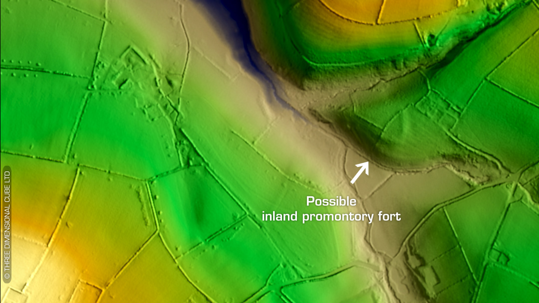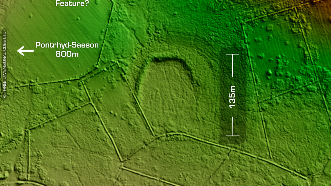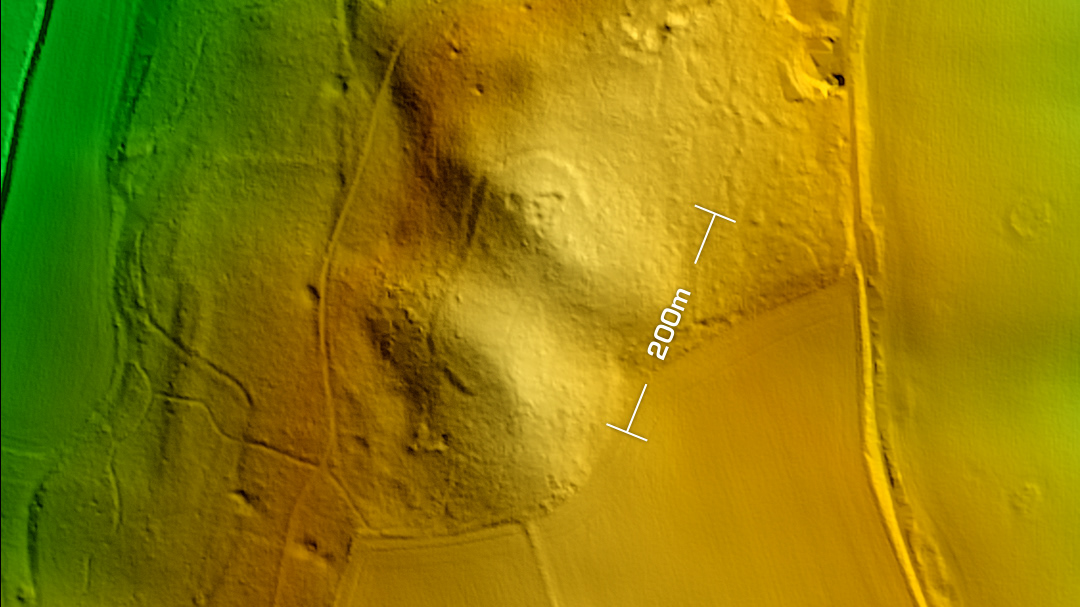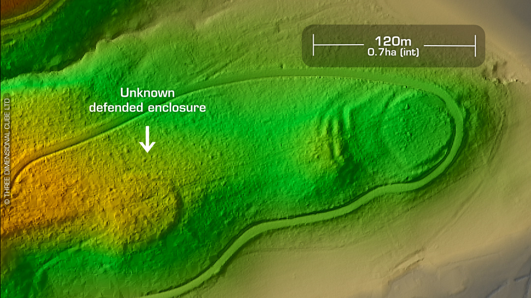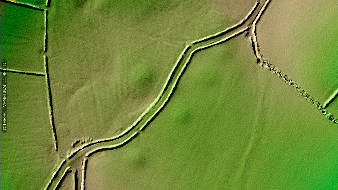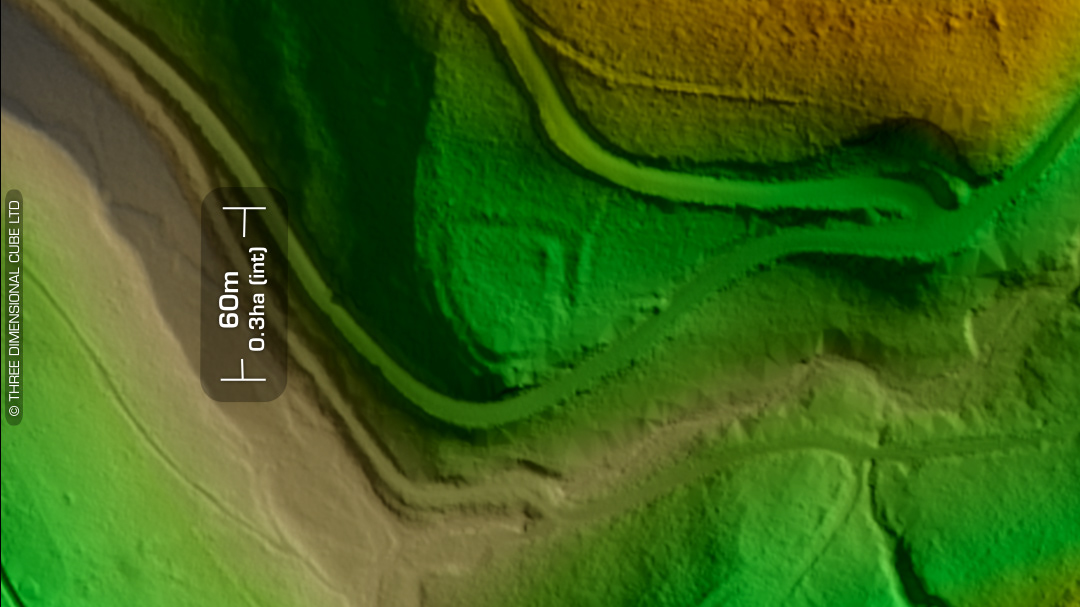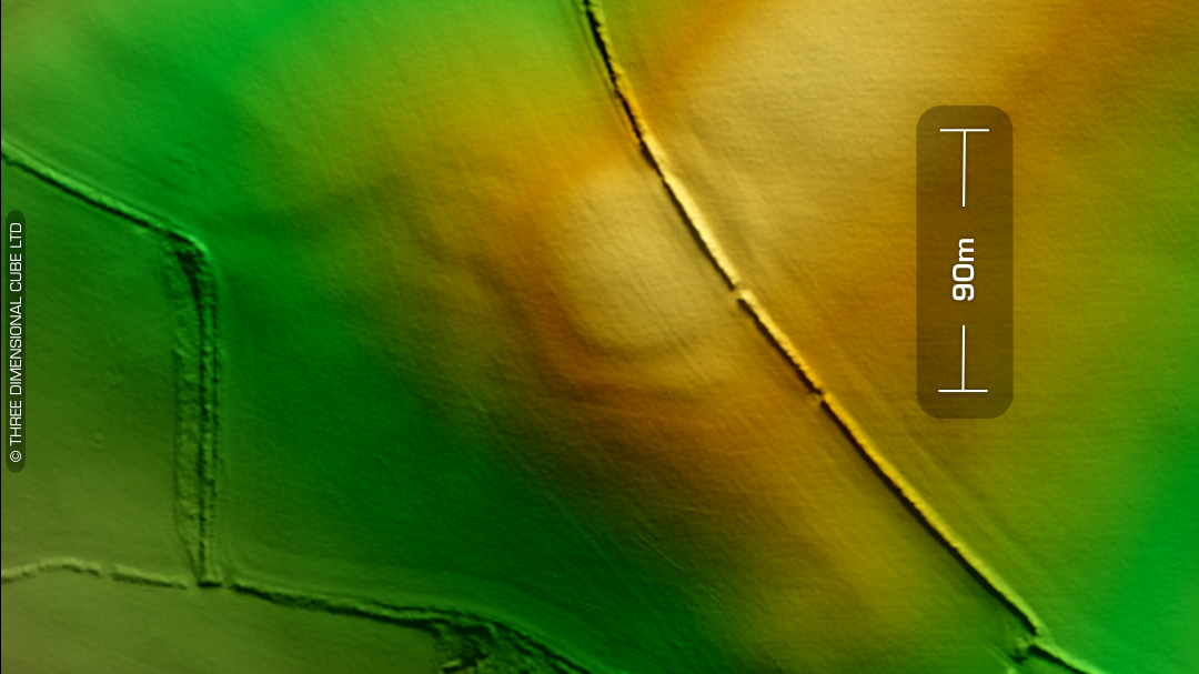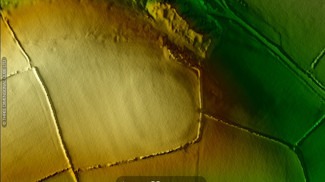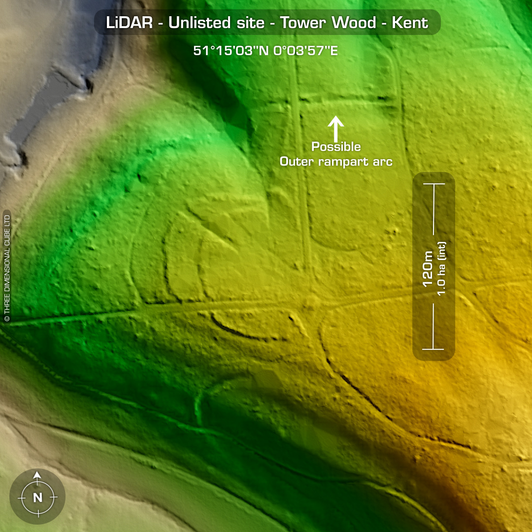


LiDAR – New discovery #2 in Tower Wood – Kent Location: 51°15’17”N 0°04’25”E DTM- (Digital Terrain Model, i.e. No buildings or foliage) Kent HER: TBA Directly south of the village of Westerham within Squerryes Park lies a nice bivallate contour hillfort of the same name. On the same LiDAR tile, I noticed a possible multivallate IA site with an extensive defensive outwork NE of Squerryes Park hidden within Tower Wood. This went off to KENT HER for their evaluation a few weeks ago. KENT HER has given it the nod and as awaiting additional evaluation from their in-house archaeologists: ‘Thank you very much for spotting this and alerting us. I have had a look, and we do not have a record for these earthworks, so we will create one as soon as we can. I will check with my colleagues to see whether anyone has any comments to add to your interpretation and will let you know if they do. ‘ – Dr Rose Broadley, KENT HER Many thanks to @anders.archaeology for mentioning it to KENT HER after my previous post! This is exactly what LiDAR based archaeology is all about and what keeps me investigating. (Scheduled Monument-TBA) Maps from Google or Bing. Contains public sector information licensed under the Open Government Licence v3.0.