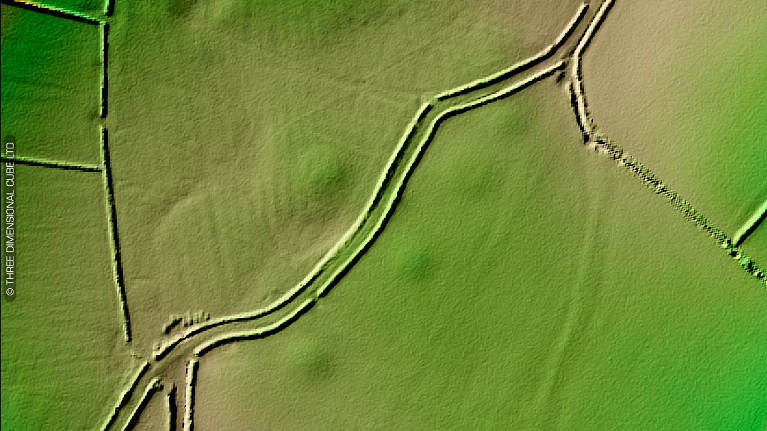
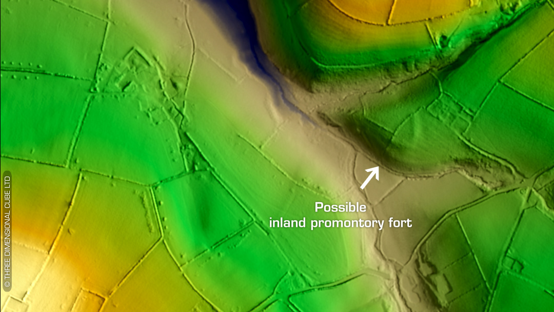
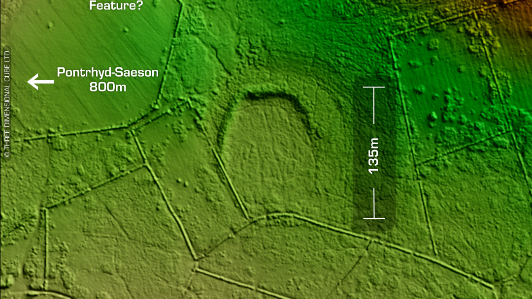
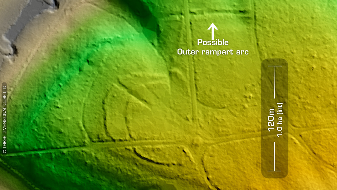
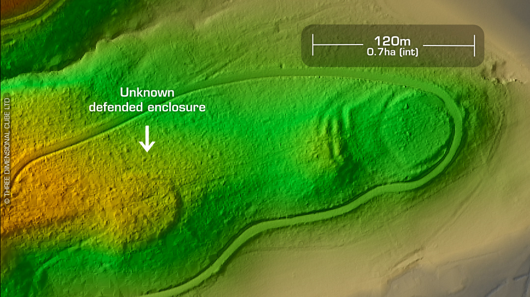
LiDAR – New Discovery #6 - Pembrokeshire DTM- (Digital Terrain Model, i.e. No buildings or foliage) I have found via LiDAR survey another unlisted defended enclosure/hillfort just west of Tenby and overlooking the Dinosaur Park from the NE. The only thing that concerned me about this one was its morphology. Its shape reminded me of a Napoleonic fort, but a tiny one. I’ve used Google Maps Pro to look back in time, but it still shows as a crop mark. I’ve trawled the old OS maps to no avail to and it looks like the field boundary that bisects the site goes way back too. On the LiDAR (animation) it also appears to have a faint annex to the NW but it’s not clear. I sent it off to DYFED Historic Environment Record’s (HER) office to Ken Murphy, et al. He replied yesterday with: “Hi Simon, That looks like a classic defended enclosure. We need to make a HER record. Ken” Fantastic news! Iron Age tribal association (conjecture based on location): Demetae 1st ED OS Mapping via National Library of Scotland. Contains public sector information licensed under the Open Government Licence v3.0.