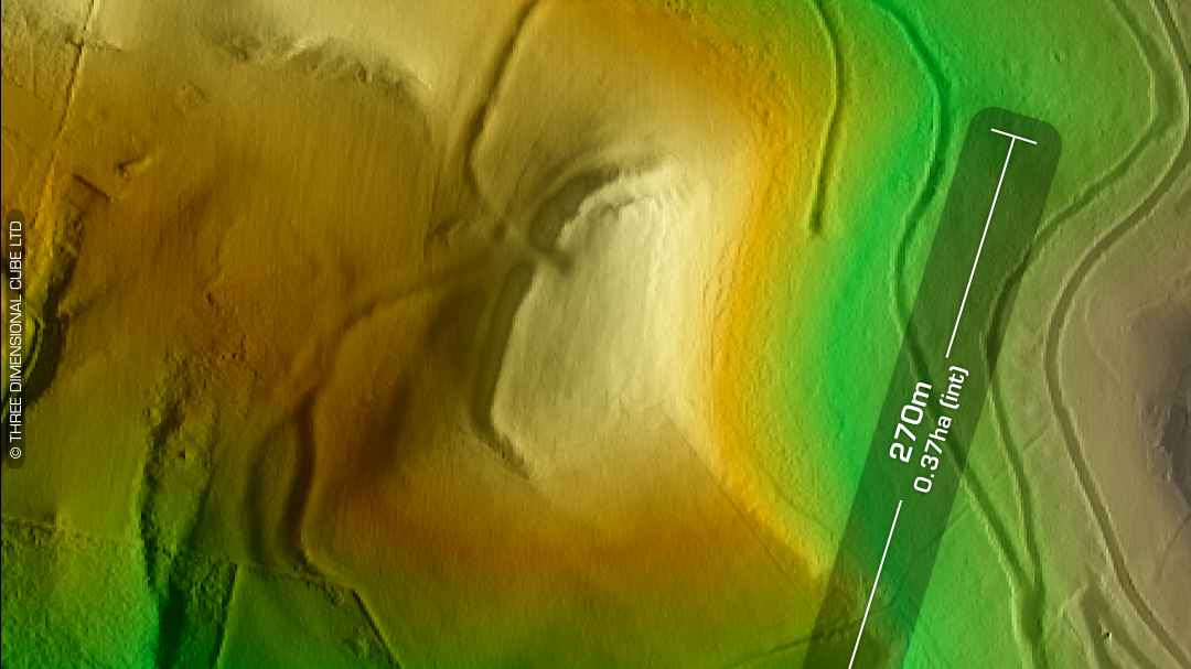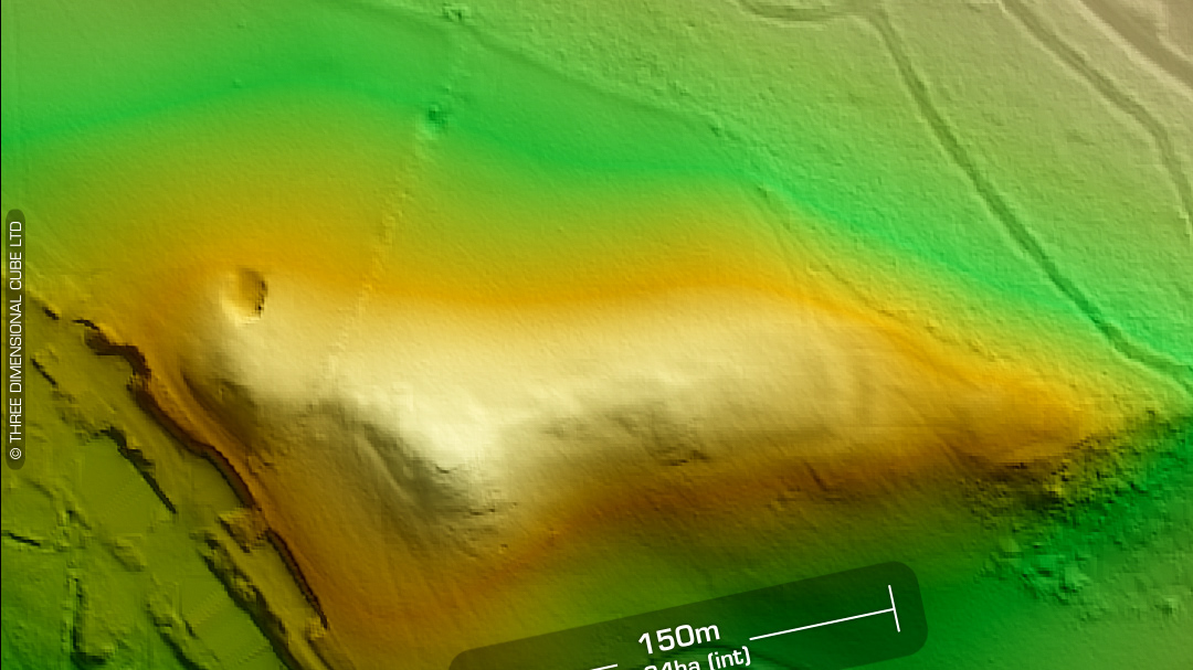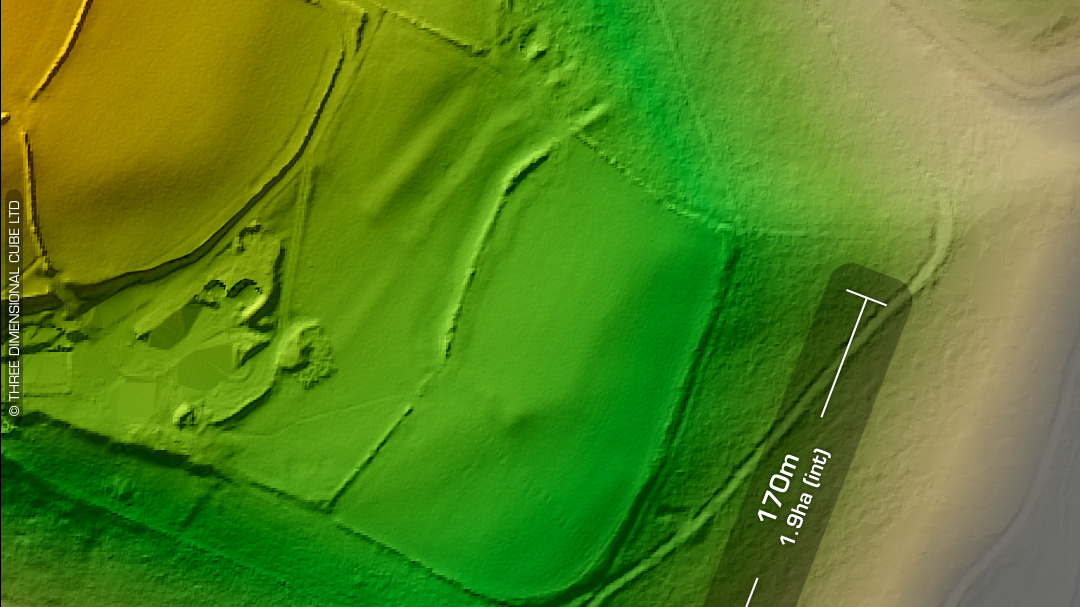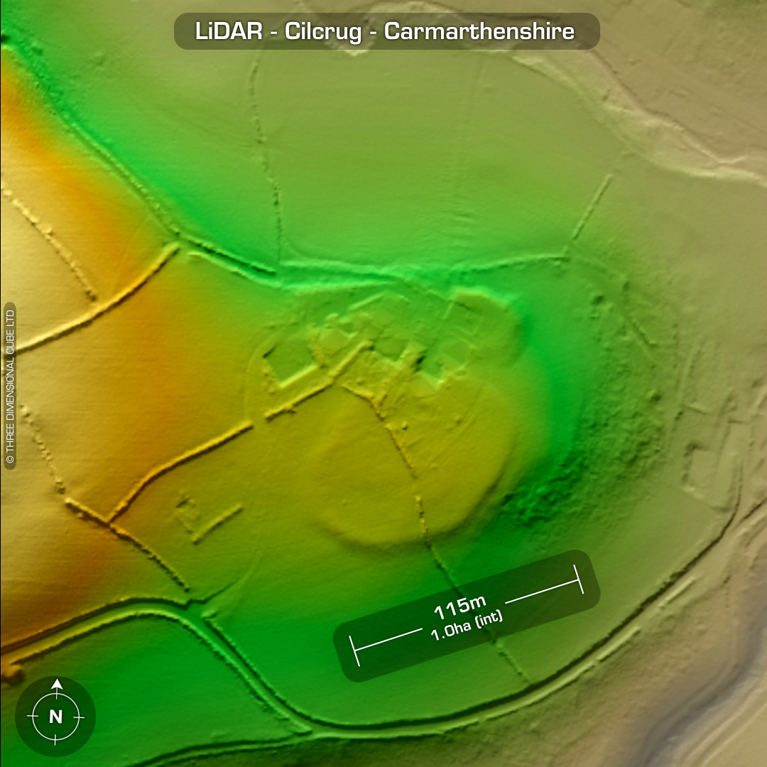
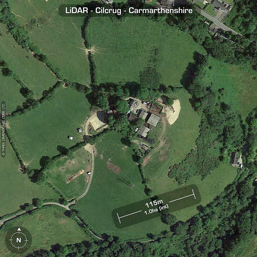
[PRN 2257] Underneath the site of a 19th century woollen factory, now a farm, just south of the village of Bwlchnewydd sits the almost destroyed univallate contour hillfort, Cilcrug. Faint trace of outer ditch visible on SW corner. First recorded via RAF arial reconnaissance in 1946. Buildings constructed over northern defences circa nineteenth century. Original name, Cil-crûg. A powerline crosses the SW corner of the site and the tower foundation plinths cut into the rampart (just visible on LiDAR) so it would be interesting to see the council records of that ‘excavation’… No recorded excavations or finds, hence undated. (Scheduled monument) Iron Age tribal association (conjecture based on location): Demetae Descriptions from Dyfed Archaeological Trust HER. Contains public sector information licensed under the Open Government Licence v3.0.