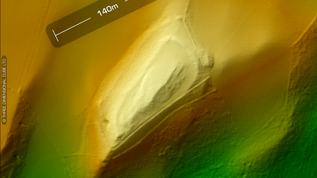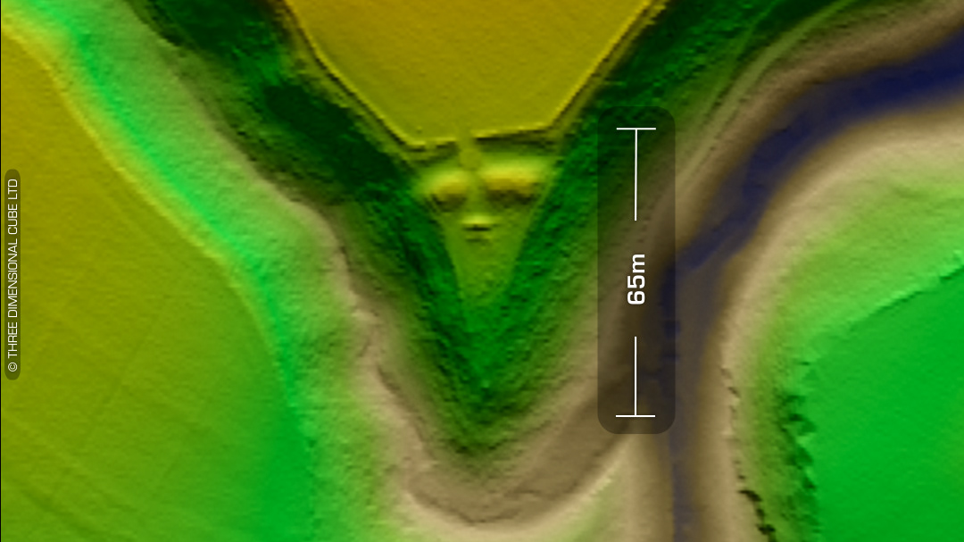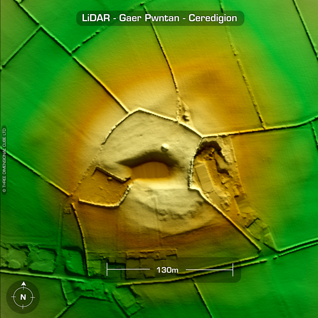
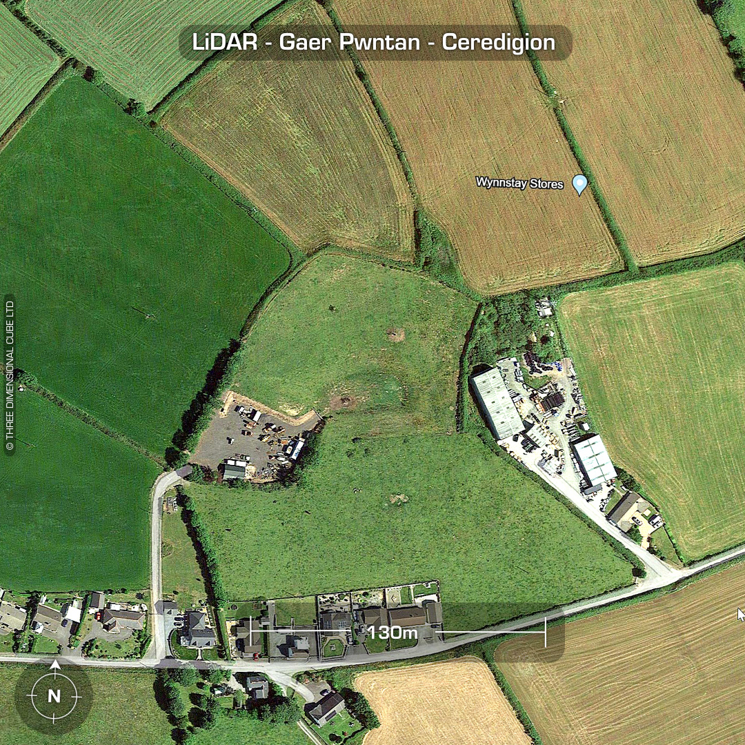
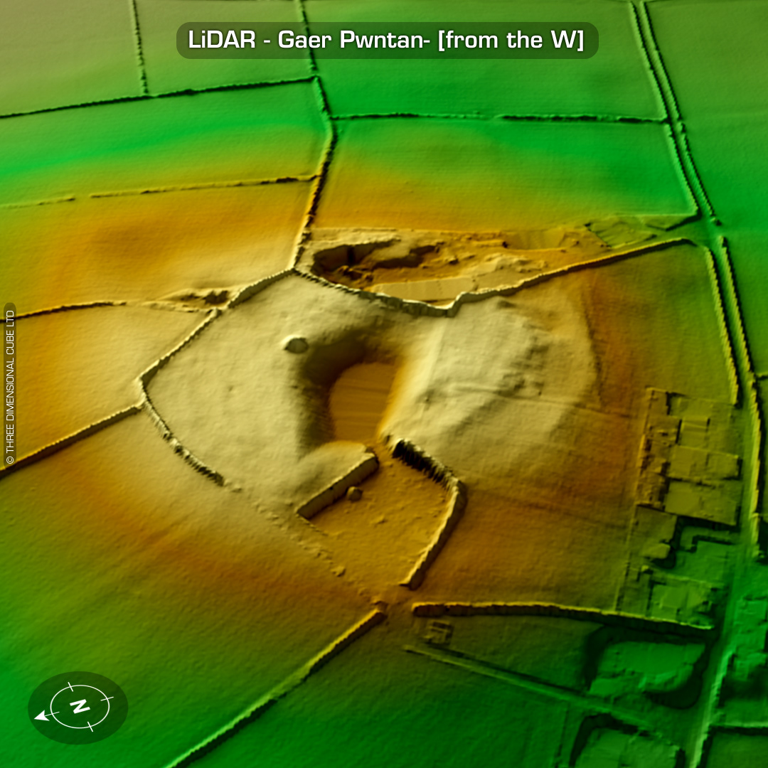
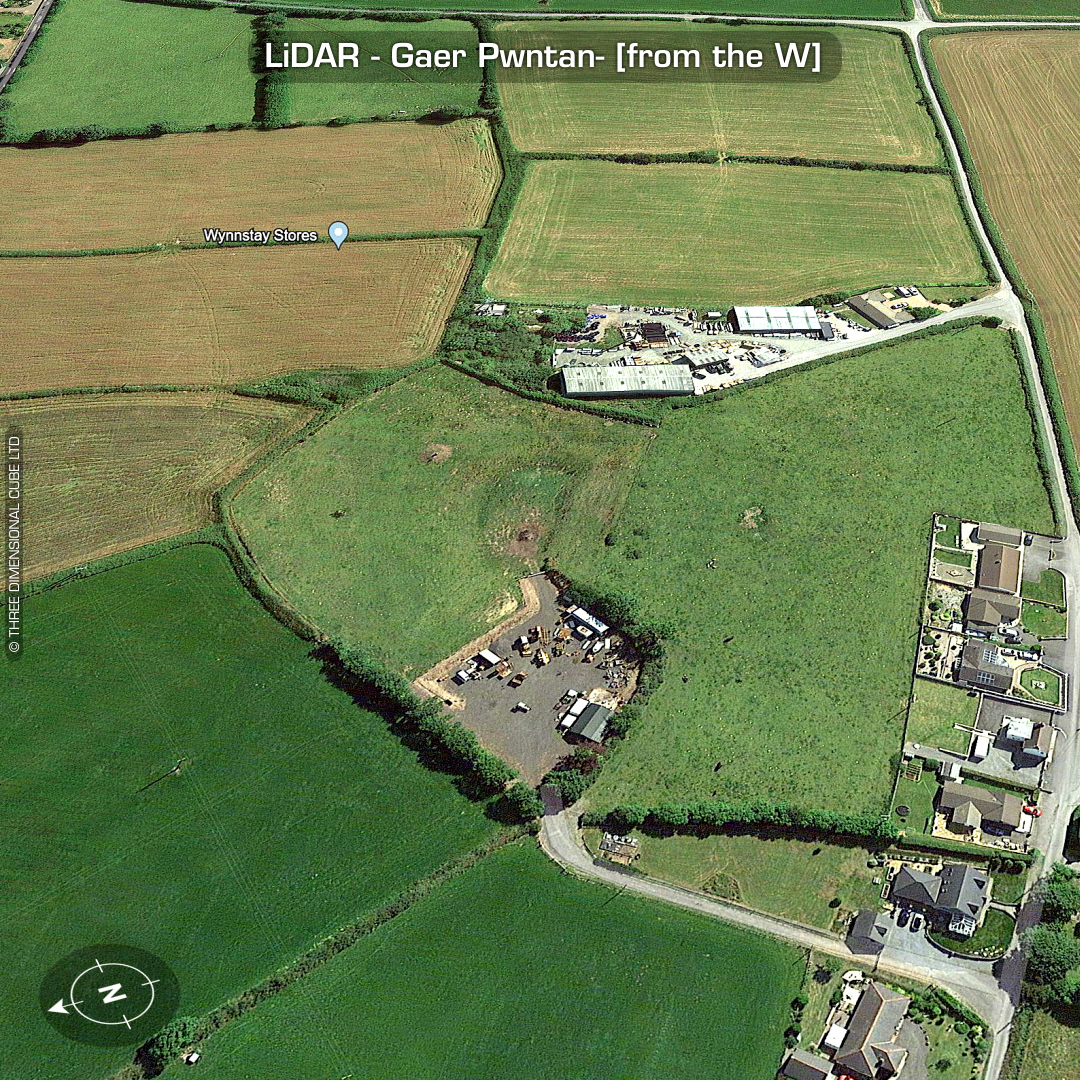

DTM- (Digital Terrain Model, i.e. No buildings or foliage) Just south of the A48, east of the village of Tan-y-groes & 1km southwest of the hillfort, Castell Nodolig lies the totally destroyed bivallate hillfort, Gaer Pwntan. Pwntan Quarry was an important quarry from the late Middle Ages through to the 19th century and was known for its iron-streaked light-coloured sandstone. Unfortunately, this hillfort surrounded the best stone outcrops. Only faint traces of the site’s defences remain today. No recorded finds or excavations, hence undated*. (Scheduled monument) Iron Age tribal association (conjecture based on location): Demetae *Possible age range 2000-2700BP (Before present) Descriptions from hillforts.arch.ox.ac.uk & Dyfed Archaeological Trust HER. 1st ED OS Mapping via National Library of Scotland. Contains public sector information licensed under the Open Government Licence v3.0.