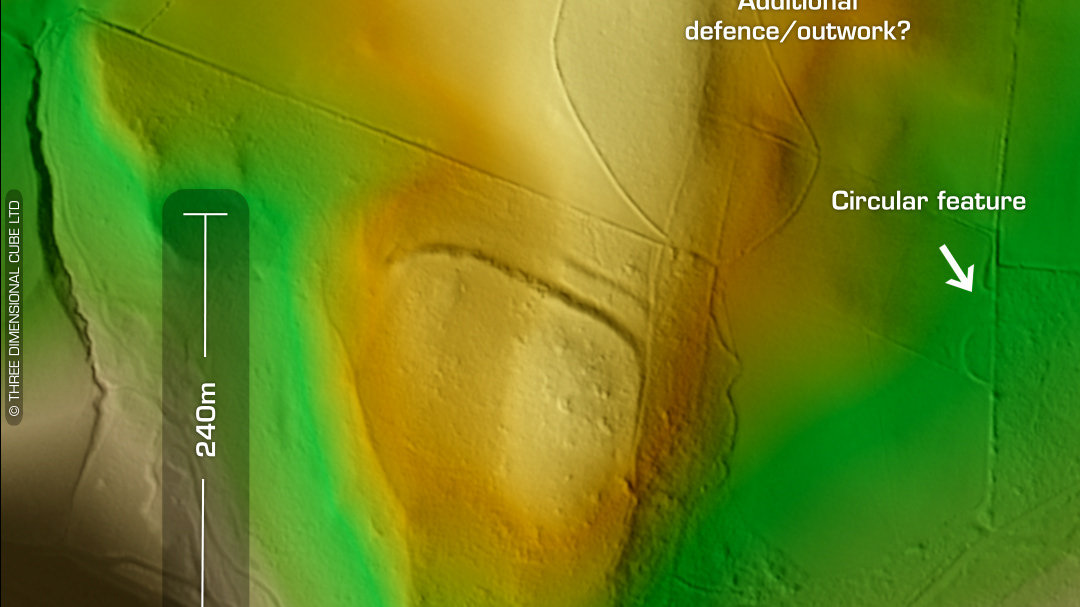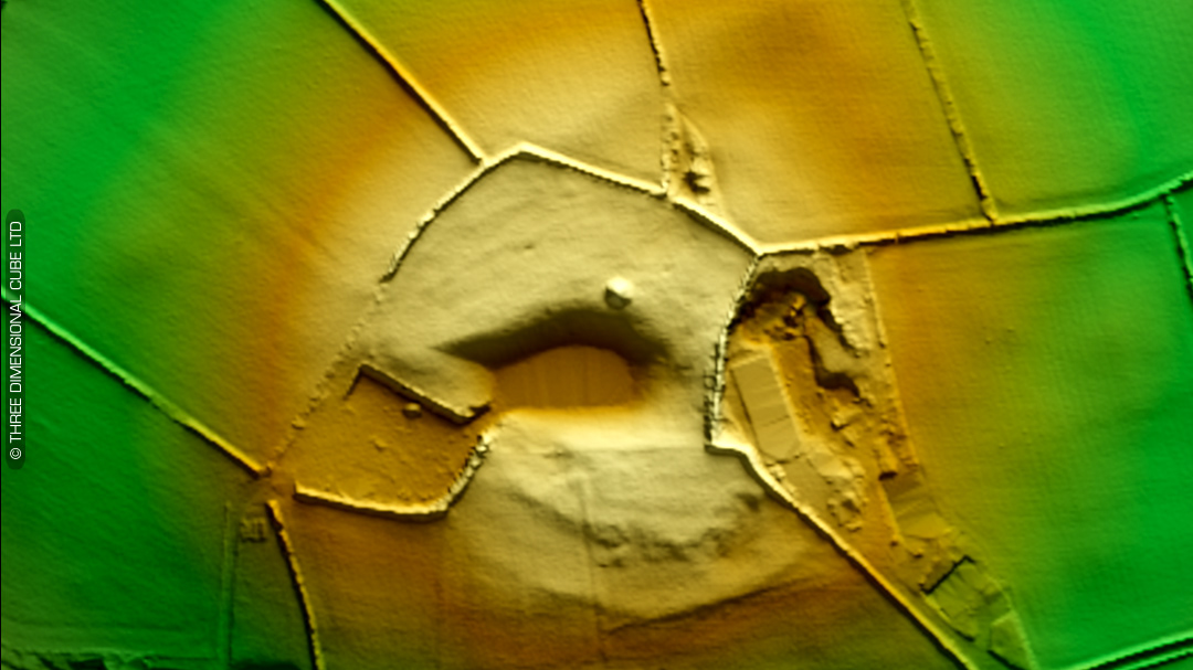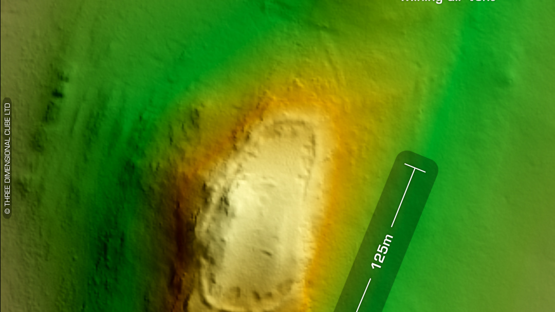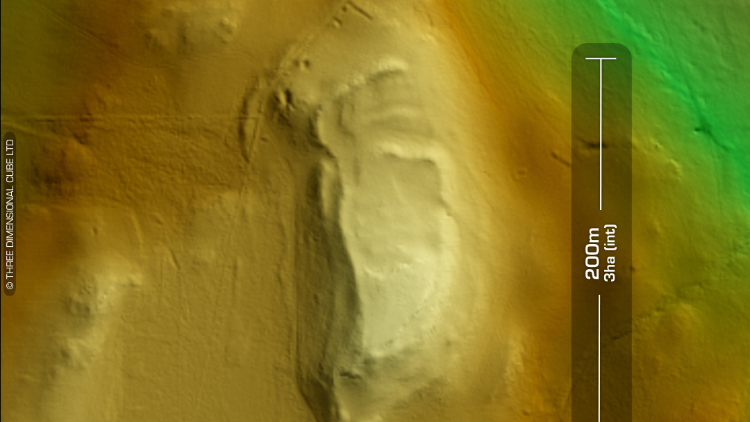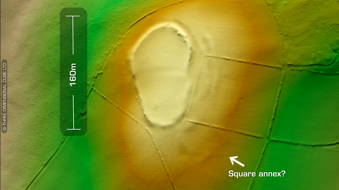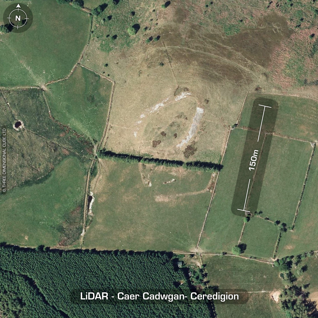
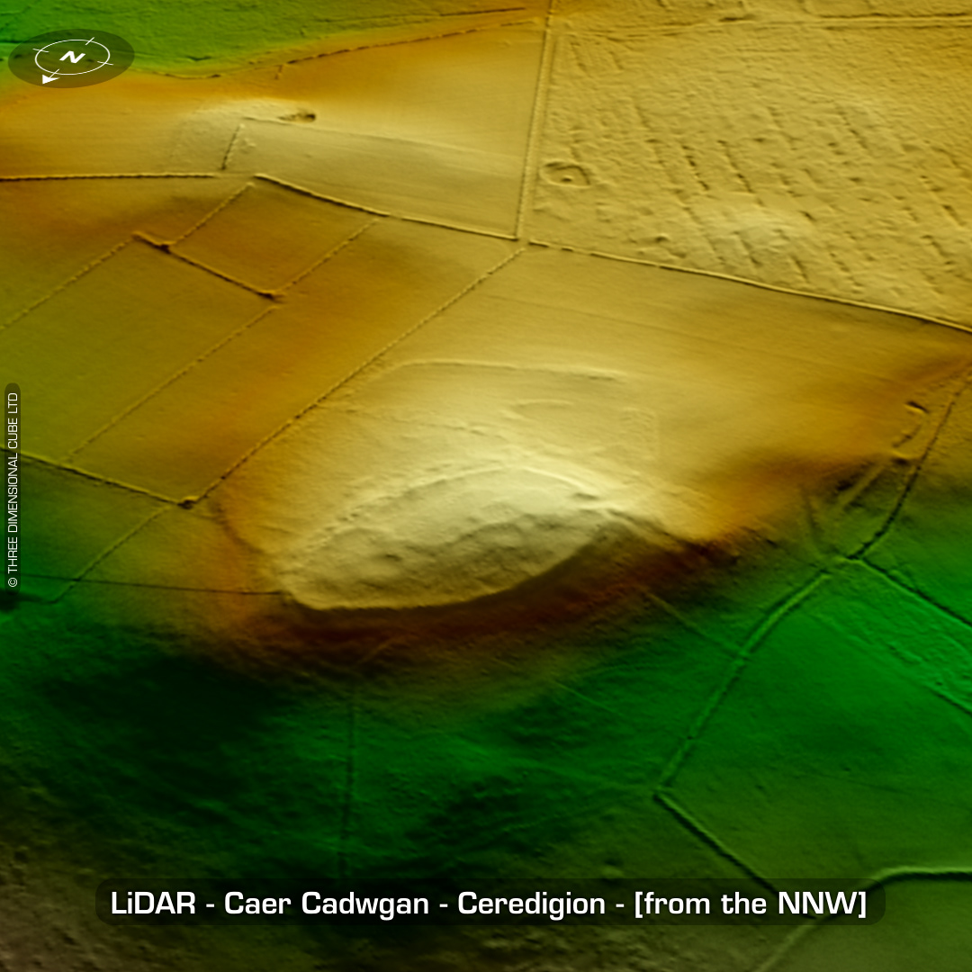
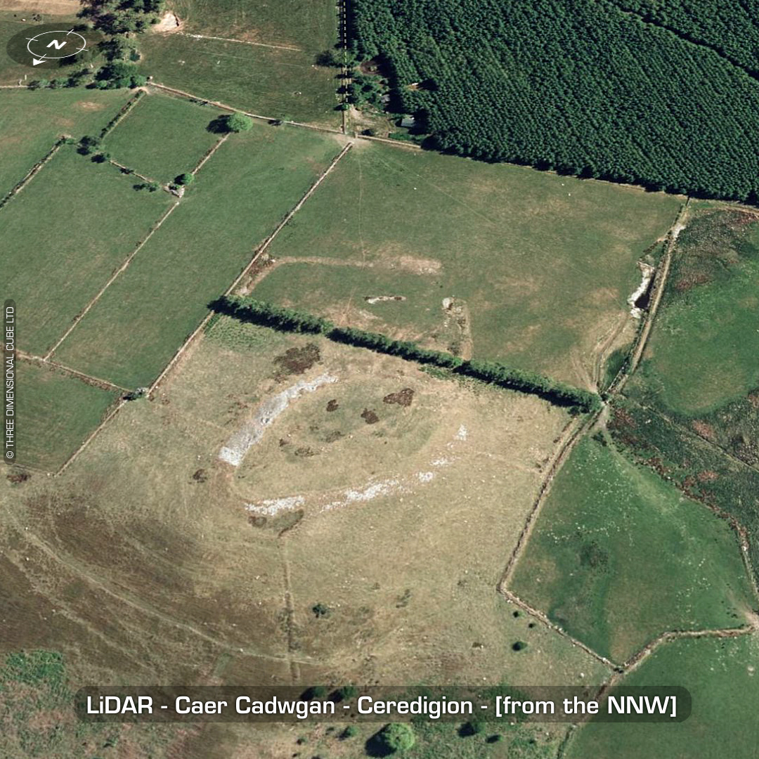
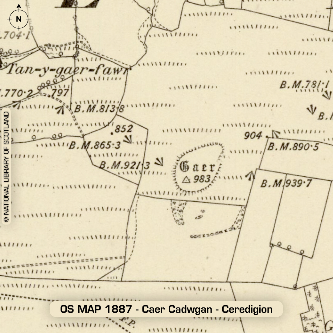
DTM- (Digital Terrain Model, i.e. No buildings or foliage) Four kilometres east of the village of Lampeter lies the heavily degraded univallate hillfort, Caer Cadwgan. The defences now lie as a spread of rubble, as seen on Google/Bing Maps. Four circular building platforms can be made out on the LiDAR. Outworks surround the site. Excavations between 1984-89 by Lampeter University. Findings include multiphase occupation with its sequence interrupted by a four-post structure. C14 dates of carbon deposits beneath the burnt-down gate yield an initial construction date of between 550-370 BC. Lots of small finds including pot sherds and glass beads as well as a large ‘cup-marked’ stone. Possible Romano-British occupation. Excavation report link below. (Scheduled monument) Iron Age tribal association (conjecture based on location): Demetae Descriptions from hillforts.arch.ox.ac.uk & Dyfed Archaeological Trust HER. 1st ED OS Mapping via National Library of Scotland. Contains public sector information licensed under the Open Government Licence v3.0.