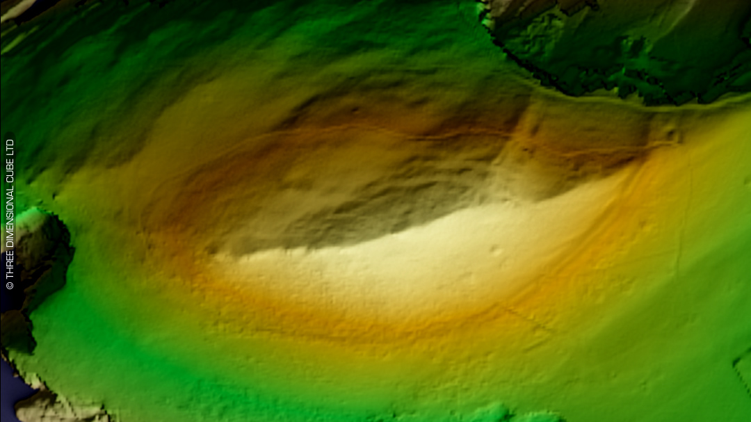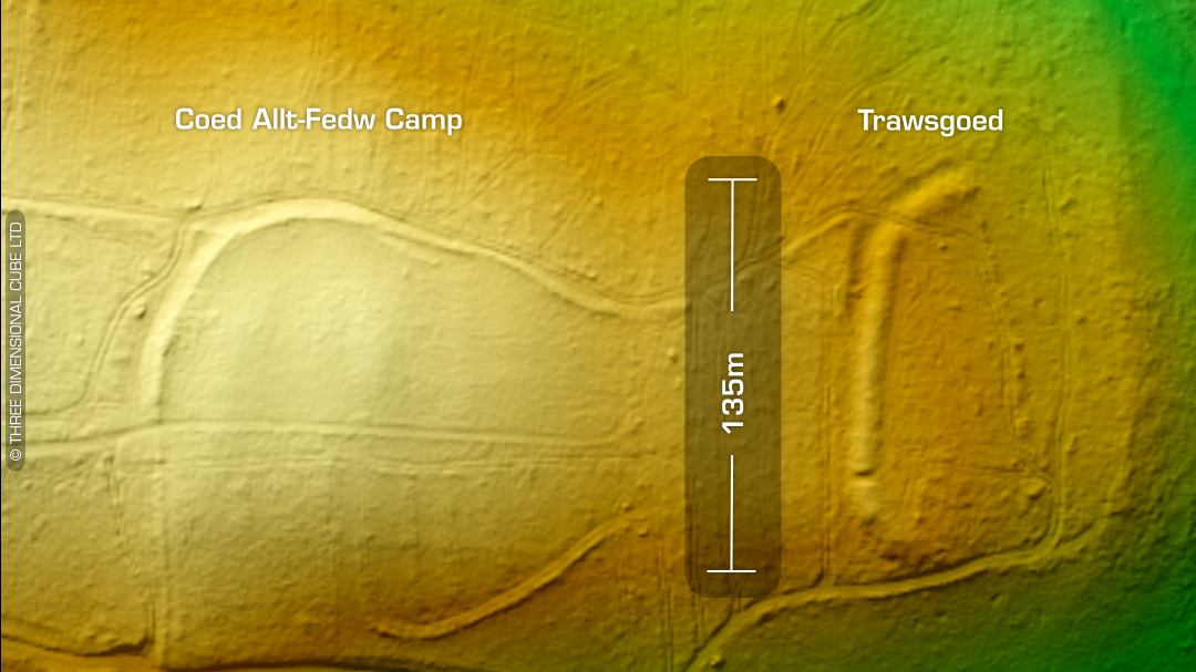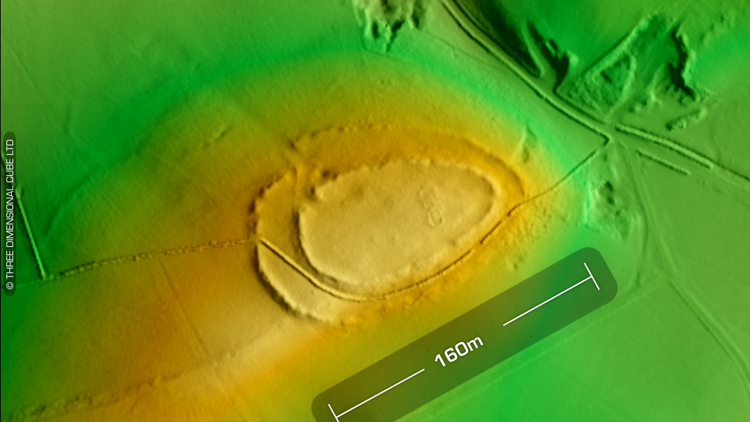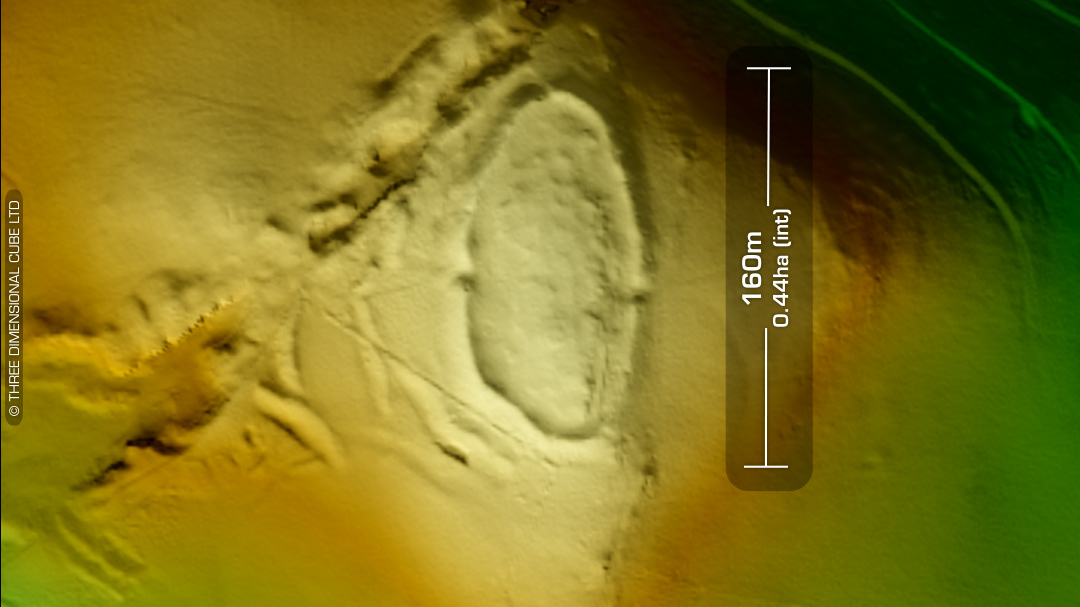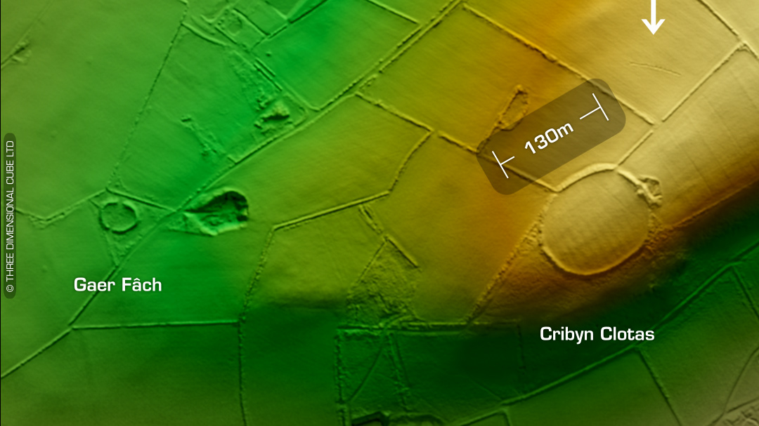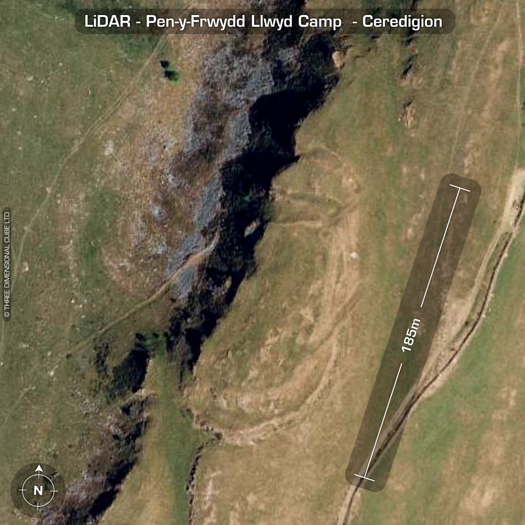


LiDAR – Pen-y-Frwydd Llwyd Camp - Ceredigion DTM- (Digital Terrain Model, i.e. No buildings or foliage) Just over a km NNE of the village of Ystrad Meurig and straddling a NS oriented ridgeline lies the heavily defended bivallate hillfort, Pen-y-Frwydd Llwyd Camp. Documented entrance at the north-end but on the LiDAR a diagonal rock-cut track can be seen running NNE-SSW on the east side and looks more probable. There is also a faint track on the western approach but as it ends at an old quarry it could just be the approach for that. Three hut platforms documented in interior. No recorded excavations or finds, hence undated*. (Scheduled monument) Iron Age tribal association (conjecture based on location): Demetae *Possible age range 2000-2700BP (Before present) Descriptions from hillforts.arch.ox.ac.uk & Dyfed Archaeological Trust HER. 1st ED OS Mapping via National Library of Scotland. Contains public sector information licensed under the Open Government Licence v3.0.