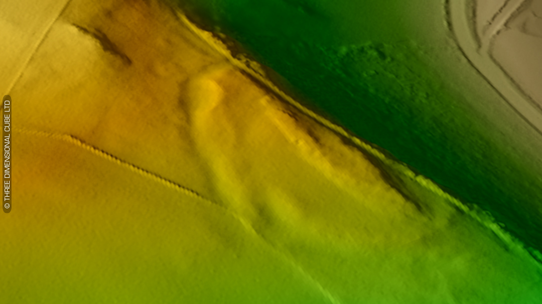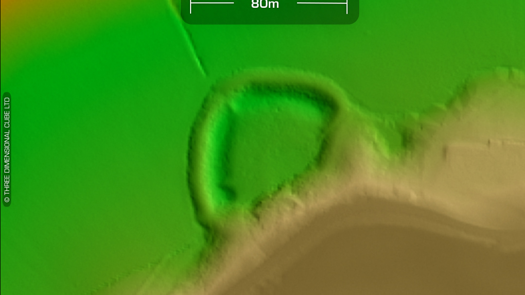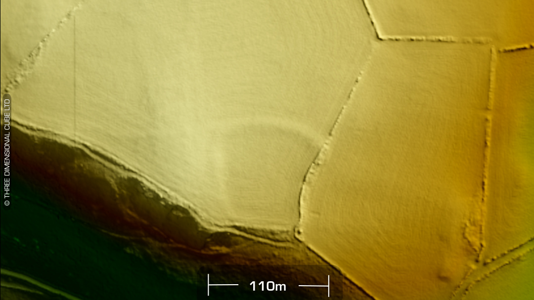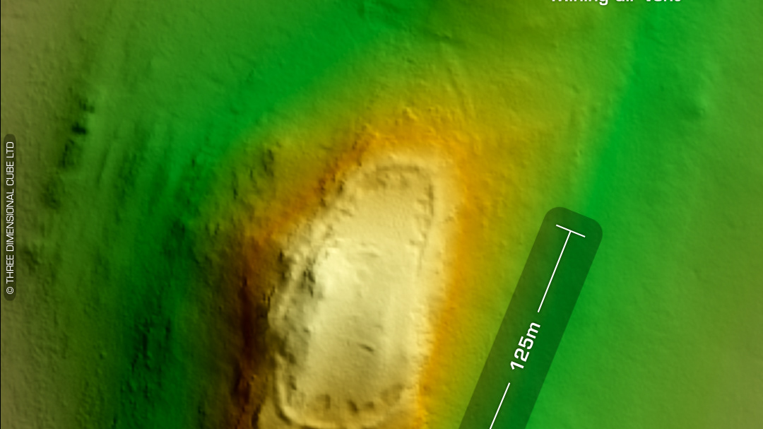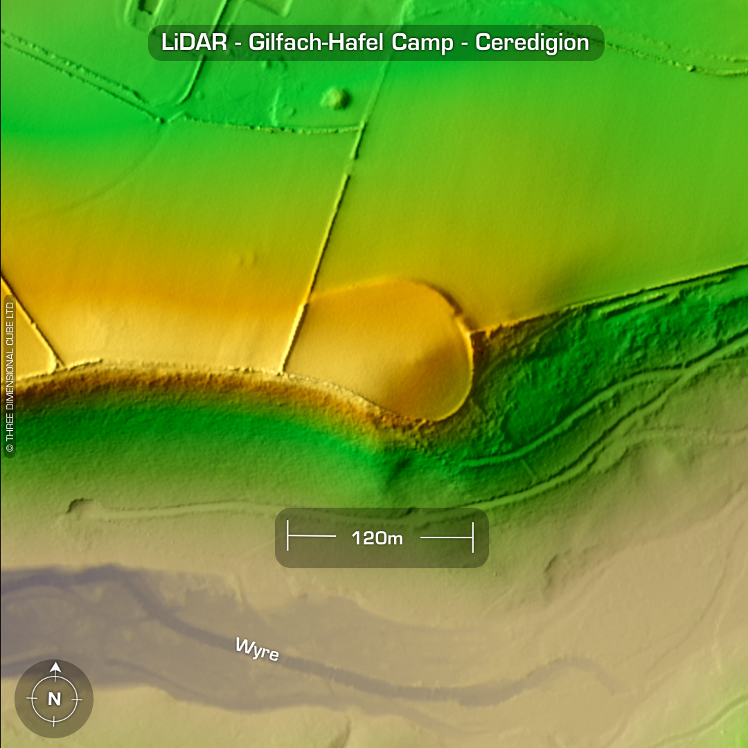
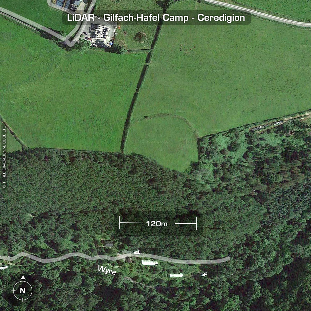
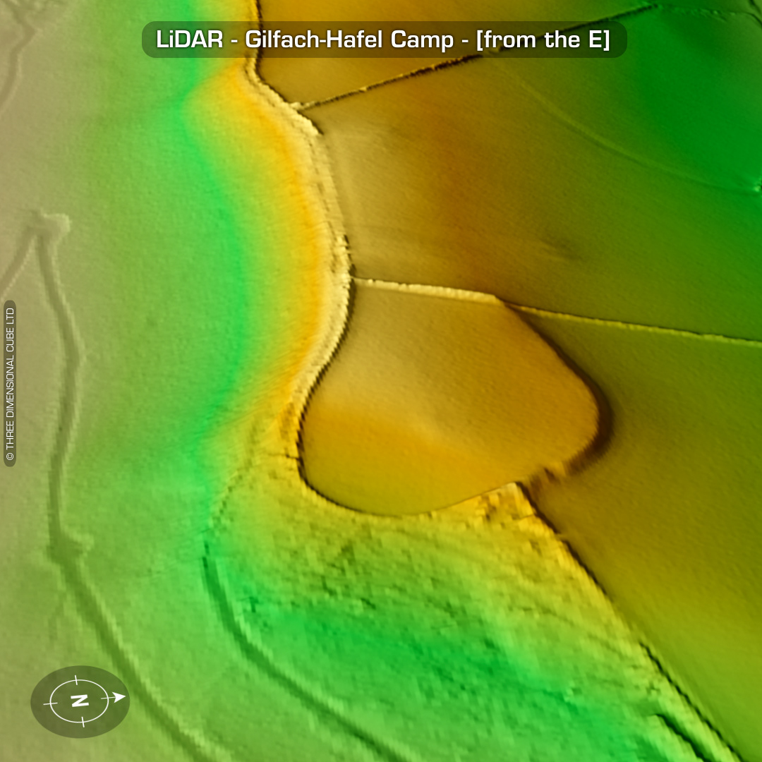
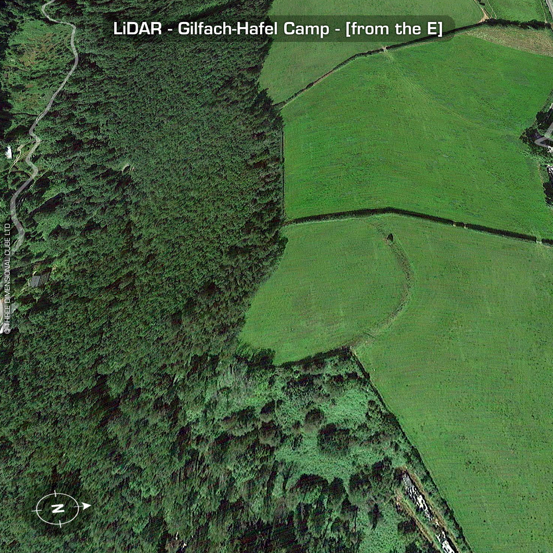
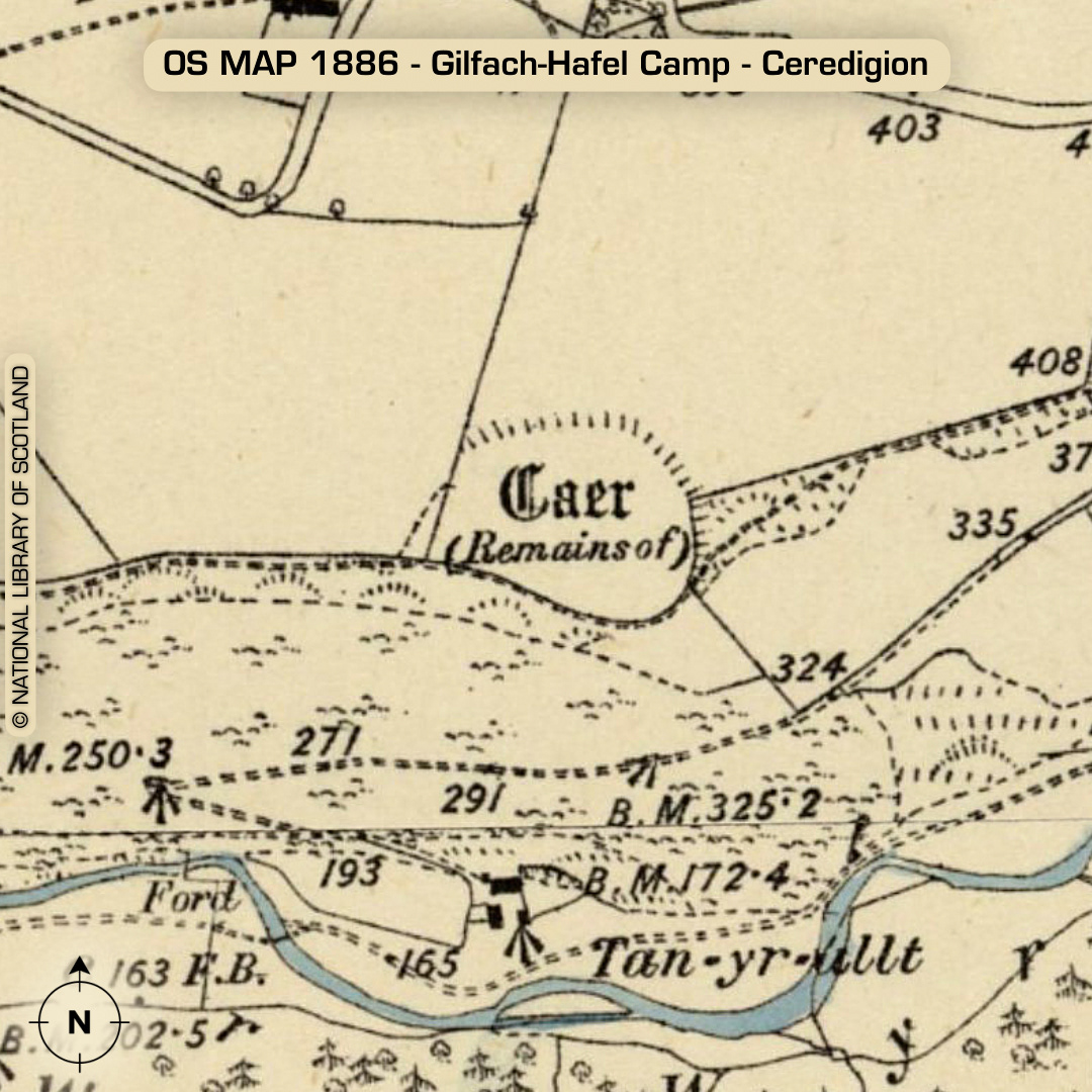
DTM- (Digital Terrain Model, i.e. No buildings or foliage) 1.8km east of the village of Llanrhystud and just northeast over the valley from the hillfort, Caer Penrhos sits the oval promontory fort, Gilfach-Hafel Camp. Ploughed-out interior. If you squint you can just make out the return of the defences over the field boundary to the west. Why the farmer didn’t follow the edge of the rampart is beyond me. “I MUST have a straight line!”. No recorded finds or excavations, hence undated*. (Scheduled monument) Iron Age tribal association (conjecture based on location): Demetae *Possible age range 2000-2700BP (Before present) Descriptions from hillforts.arch.ox.ac.uk & Dyfed Archaeological Trust HER. 1st ED OS Mapping via National Library of Scotland. Contains public sector information licensed under the Open Government Licence v3.0.