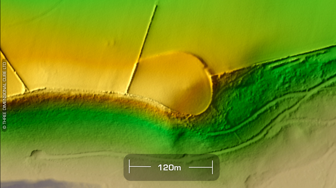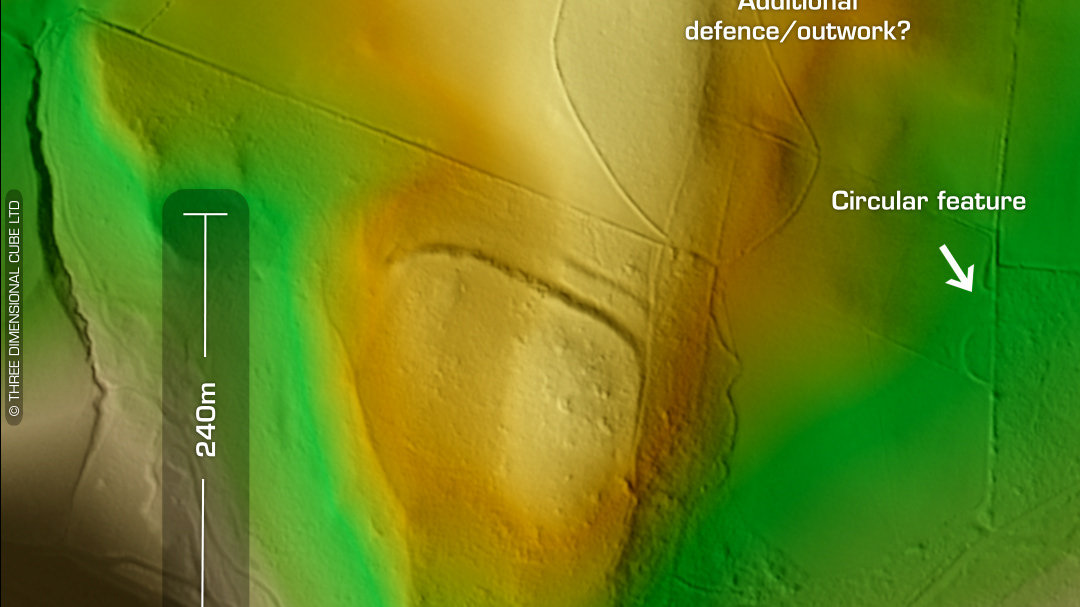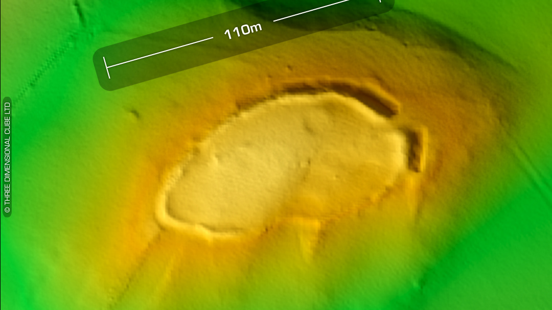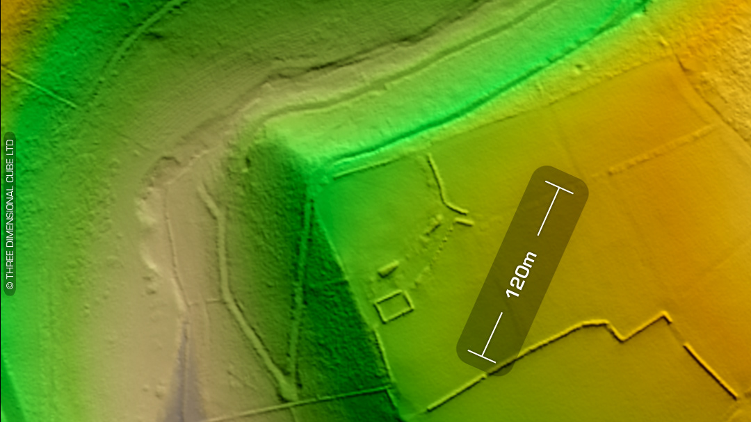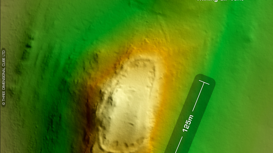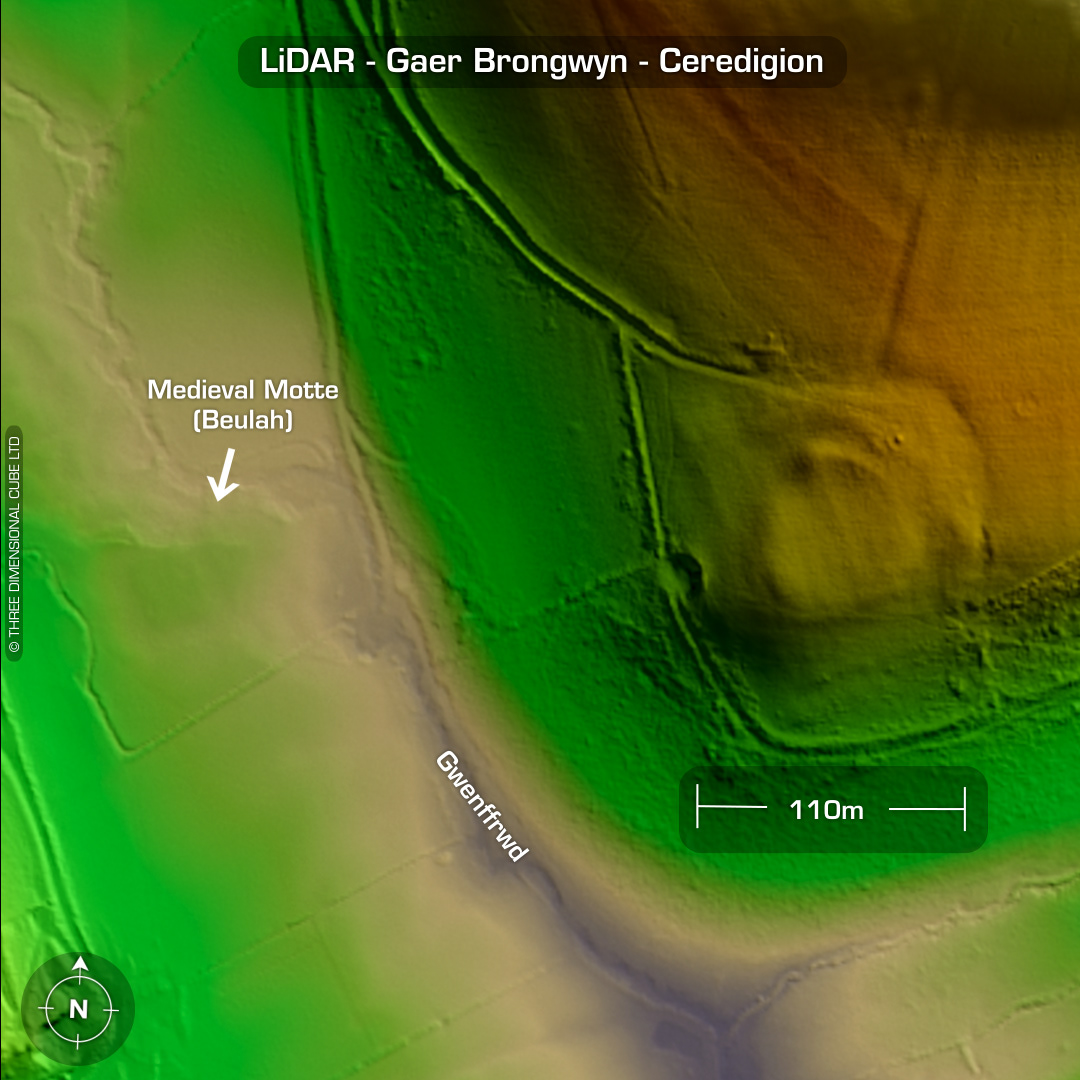
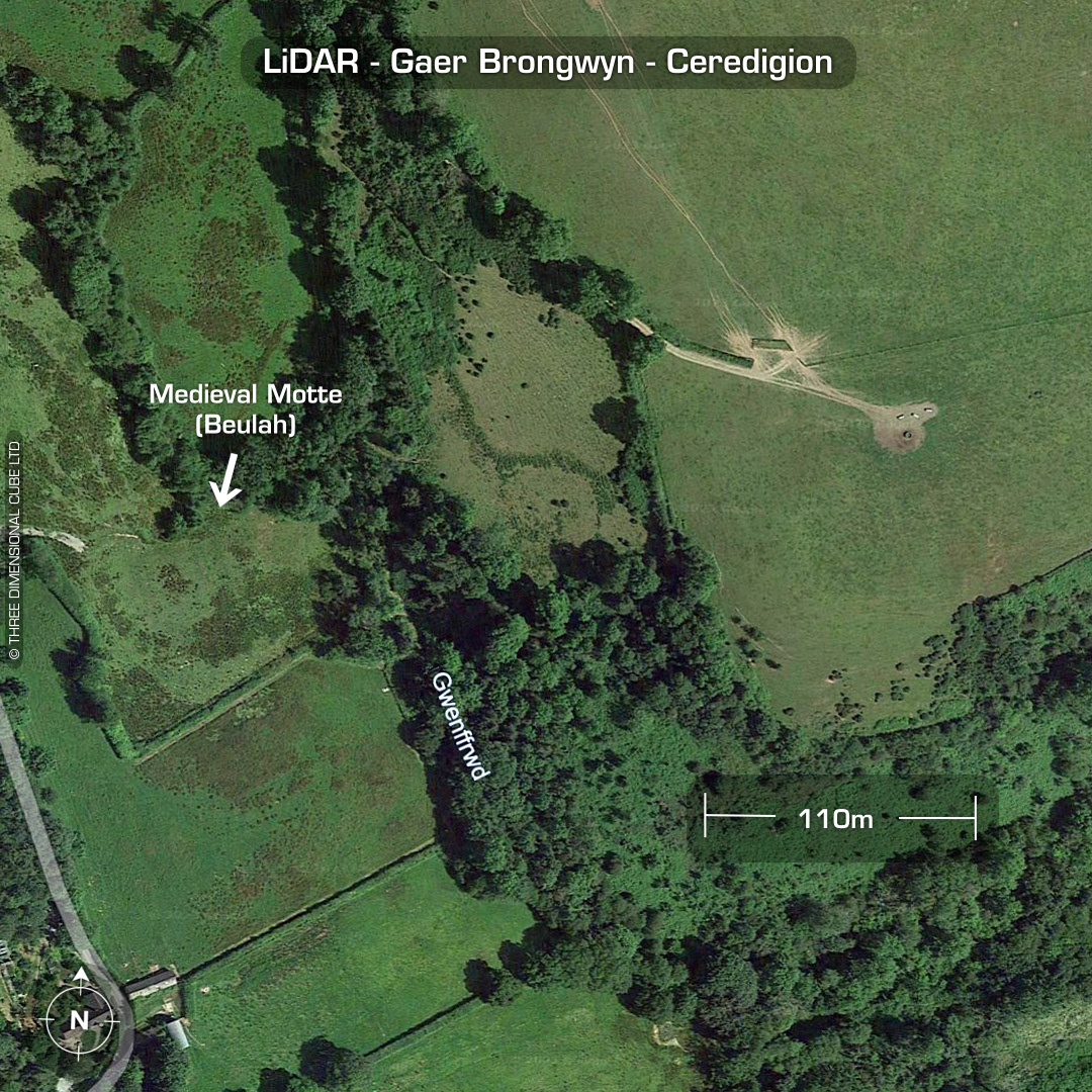
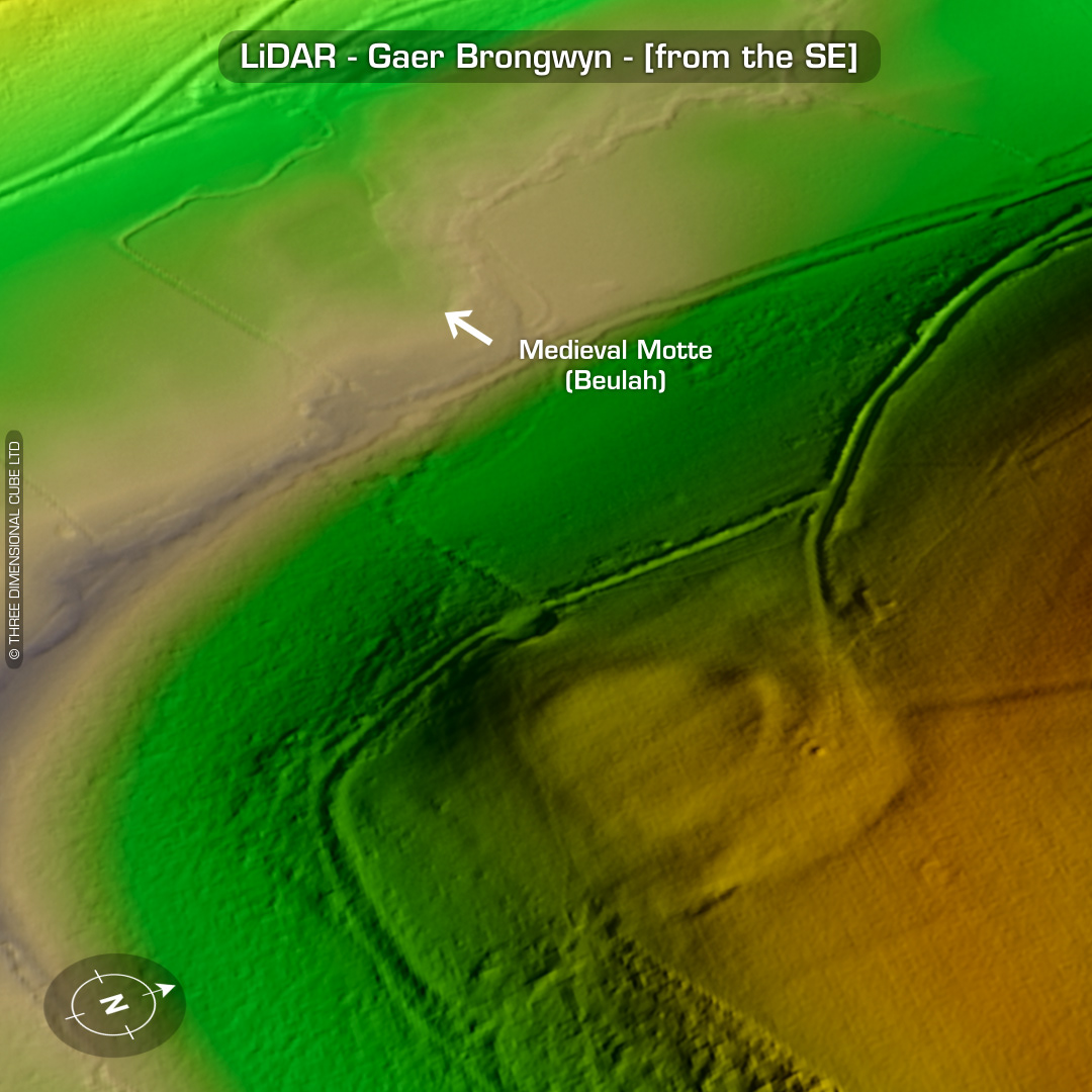
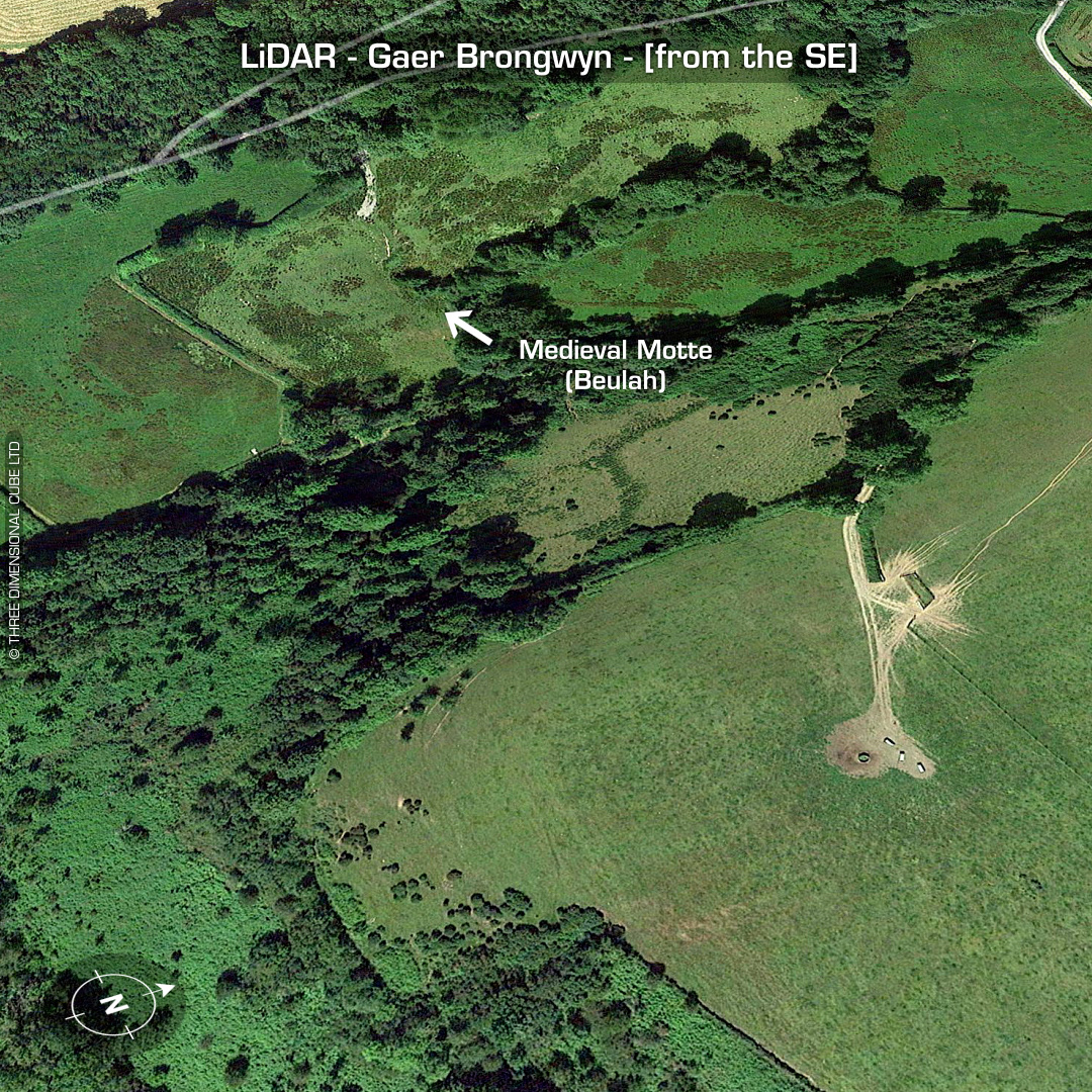
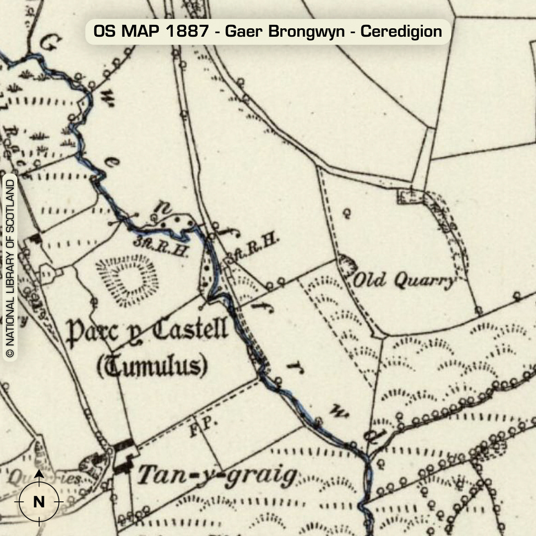
DTM- (Digital Terrain Model, i.e. No buildings or foliage) Overlooking the B4570 from the northeast and just NNW of the village of Cwm-cou lies the heavily degraded bivallate promontory fort, Gaer Brongwyn and downslope the faint remnants of the Medieval Motte, Beulah. Not listed on 1st Ed OS Maps. Last site visit in 2013 when it was scheduled. The motte’s first reference was listed in 1955 on Dyfed HER. Last site visit in 1972. No recorded finds or excavations, hence undated*. (Scheduled monument) Iron Age tribal association (conjecture based on location): Demetae *Possible age range 2000-2700BP (Before present) Descriptions from hillforts.arch.ox.ac.uk & Dyfed Archaeological Trust HER. 1st ED OS Mapping via National Library of Scotland. Contains public sector information licensed under the Open Government Licence v3.0.