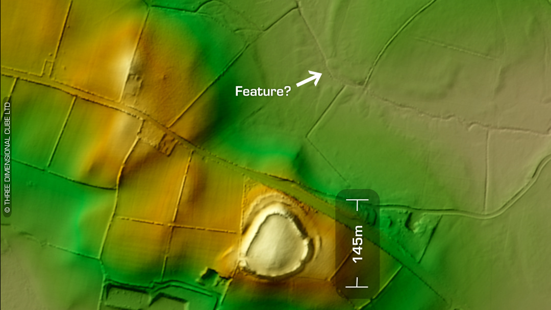
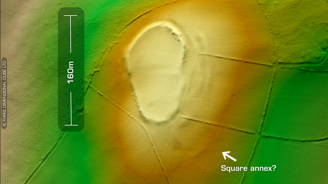
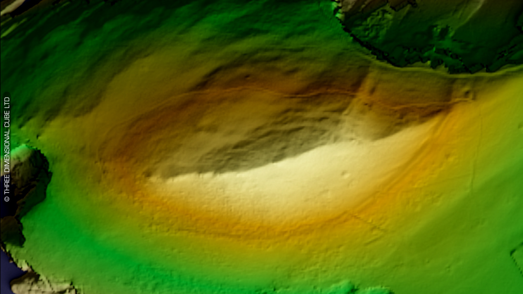
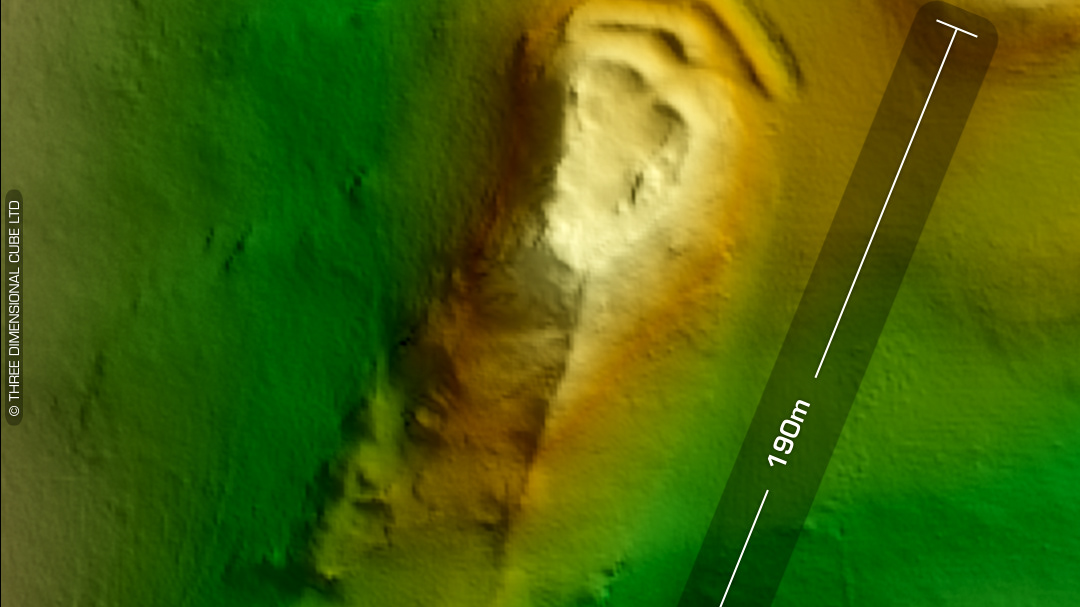
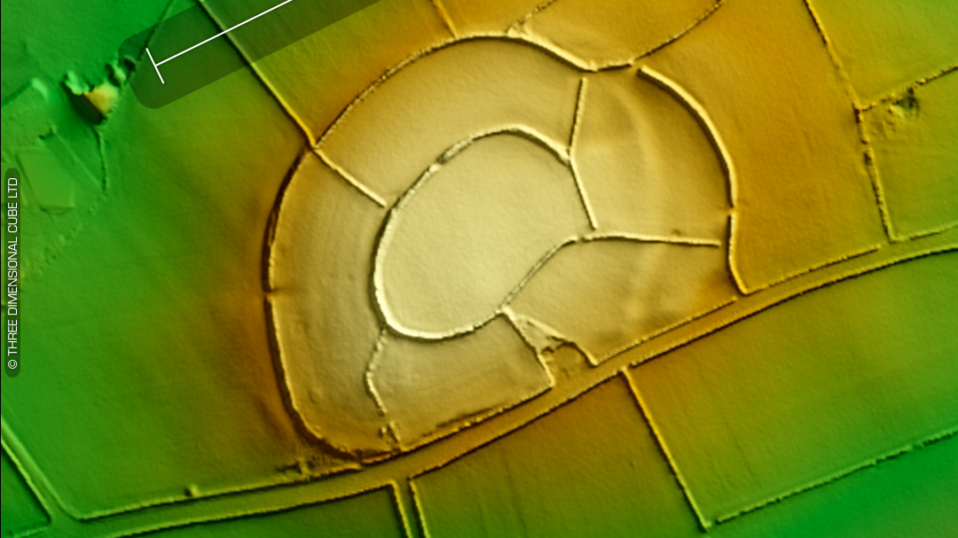
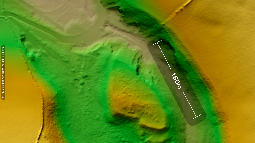
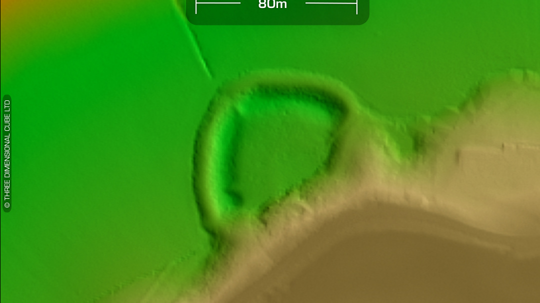
DTM- (Digital Terrain Model, i.e. No buildings or foliage) Ringed by trees on a hilltop east of the village of Cribyn sits the oval hillfort, Cribyn Clotas. Interior degraded by ploughing. Just to its west, beyond a small quarry lies the defended enclosure, Gaer Fâch. An old cottage sat within the interior but was abandoned before the 20th century. Site bisected north-south by a terrace boundary. In a field to the NE of Cribyn Clotas is a linear feature denoted in Dyfed HER as ‘Garn Foel’. It was discovered as a crop mark by ariel photography in 1976 but on LiDAR it looks like a trench-line. No recorded finds or excavations, hence undated*. (Scheduled monument) Iron Age tribal association (conjecture based on location): Demetae *Possible age range 2000-2700BP (Before present) Descriptions from hillforts.arch.ox.ac.uk & Dyfed Archaeological Trust HER. 1st ED OS Mapping via National Library of Scotland. Contains public sector information licensed under the Open Government Licence v3.0.