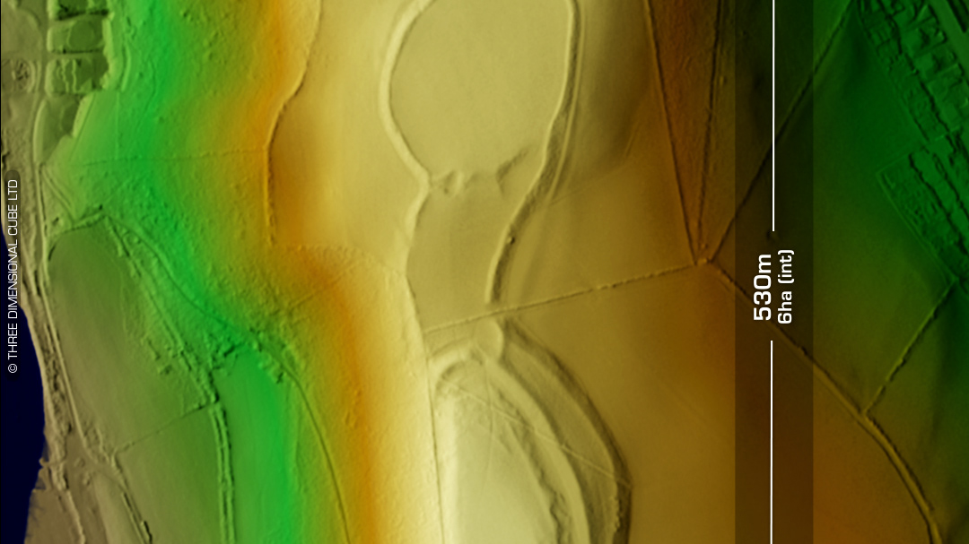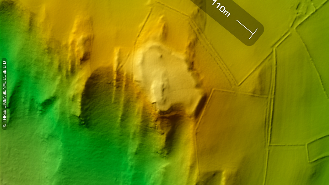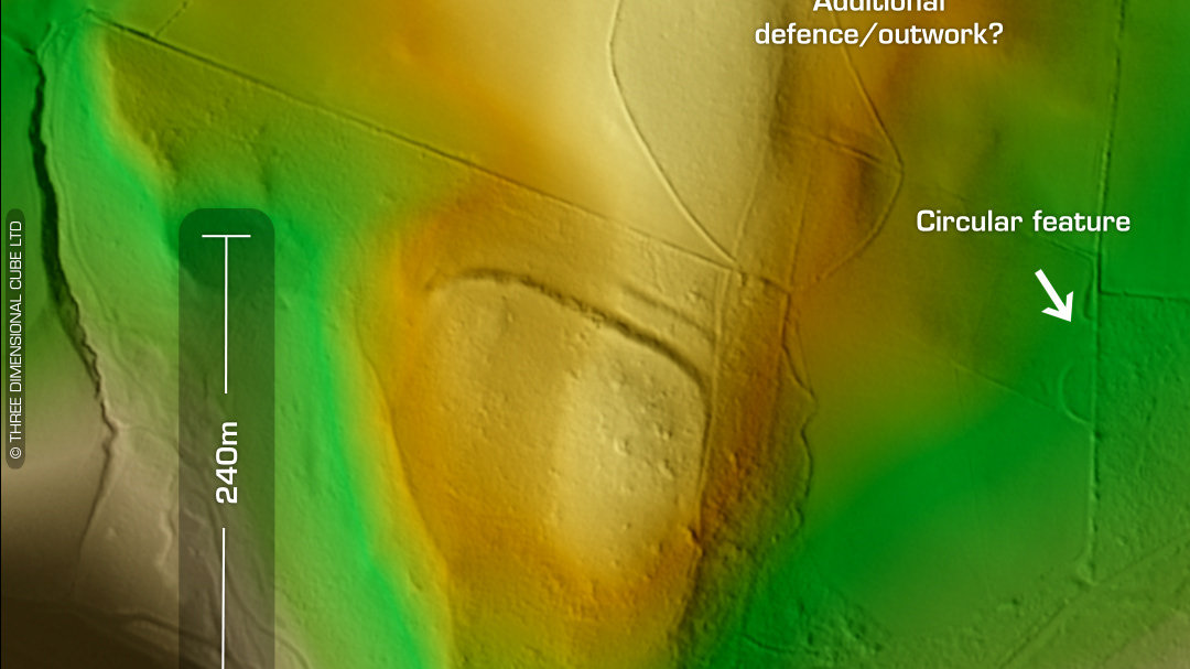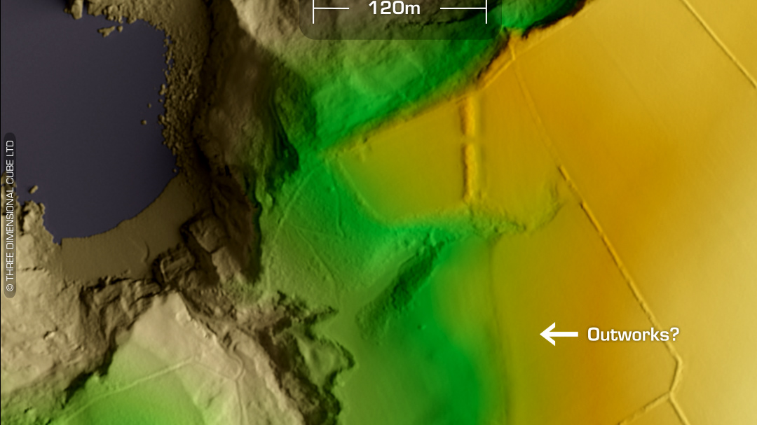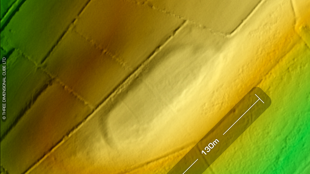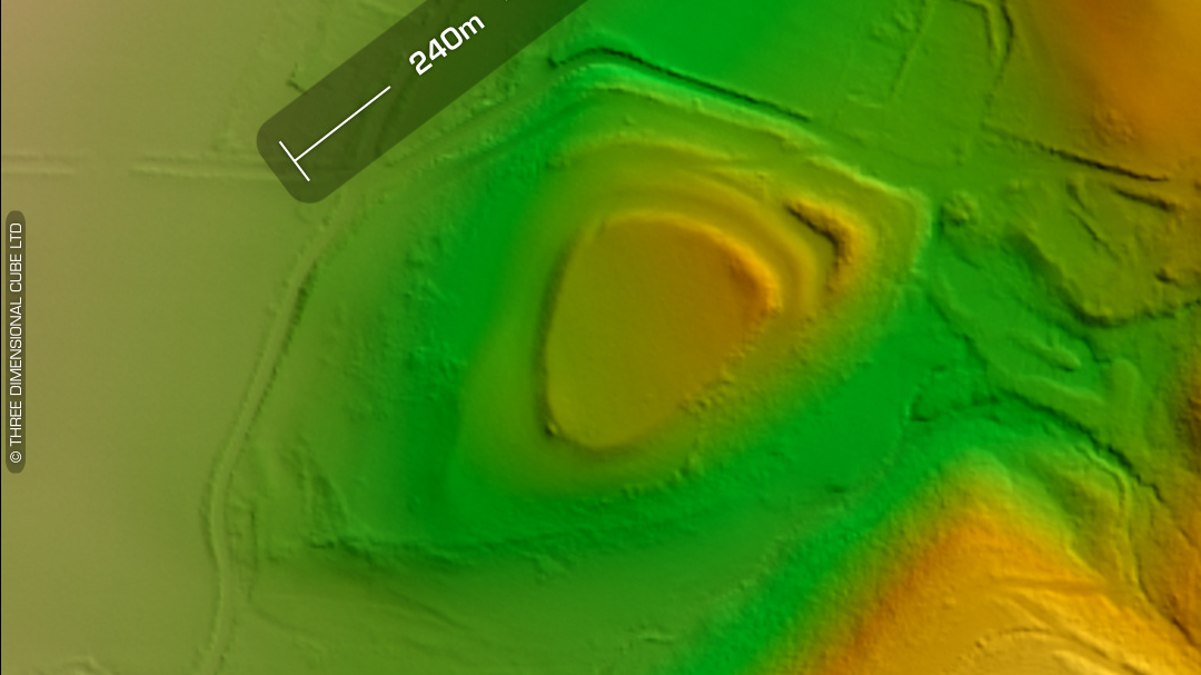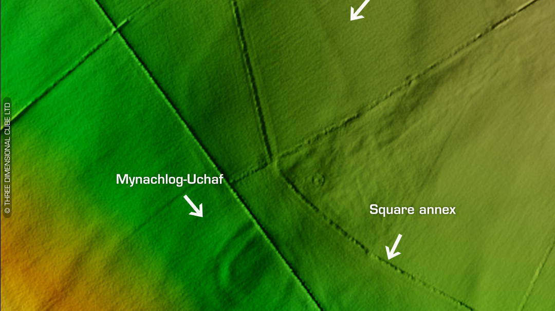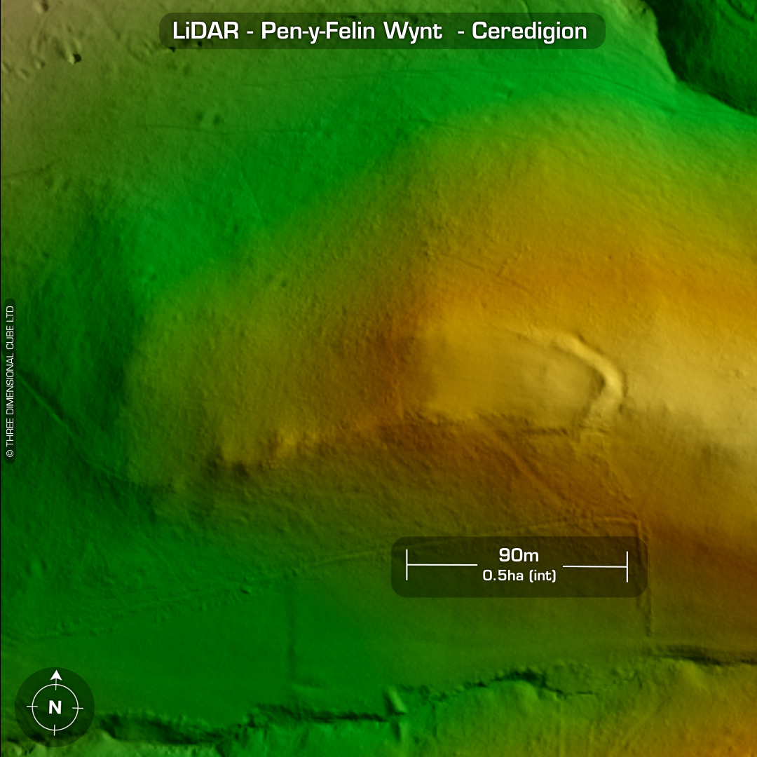
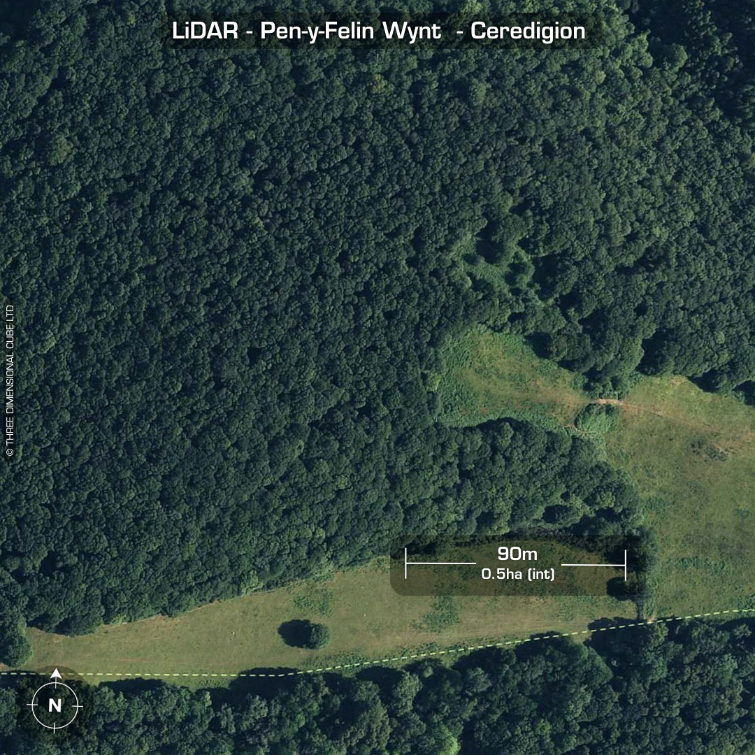
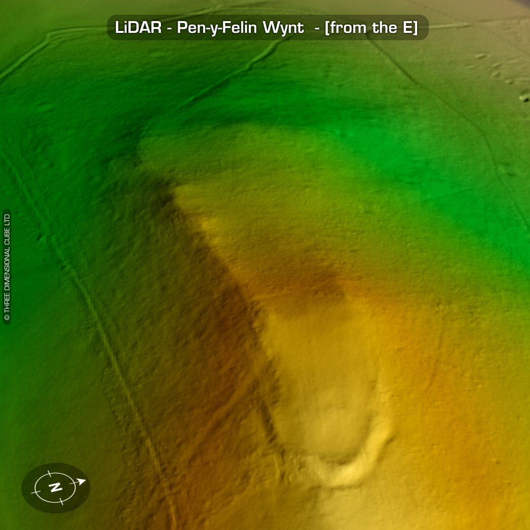
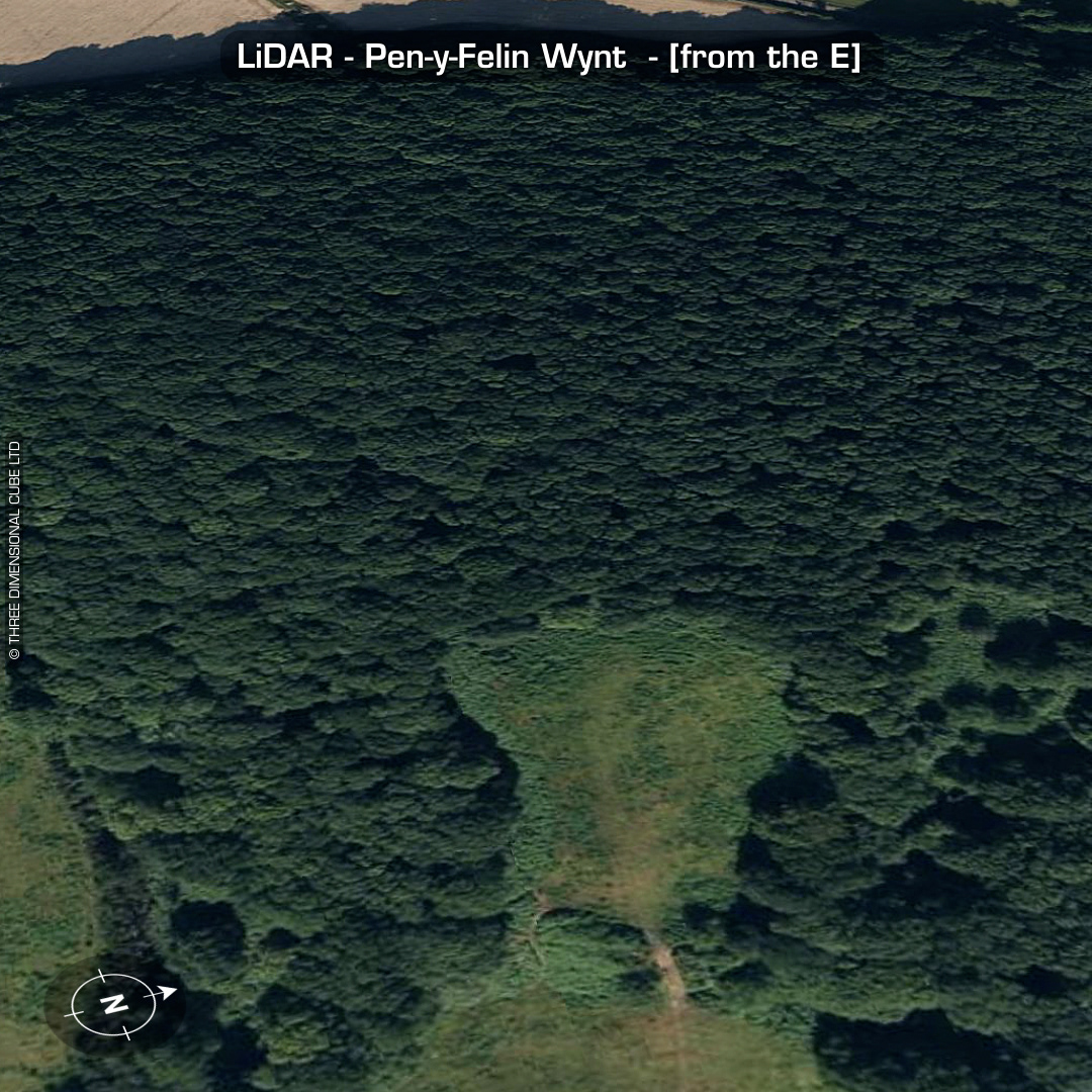
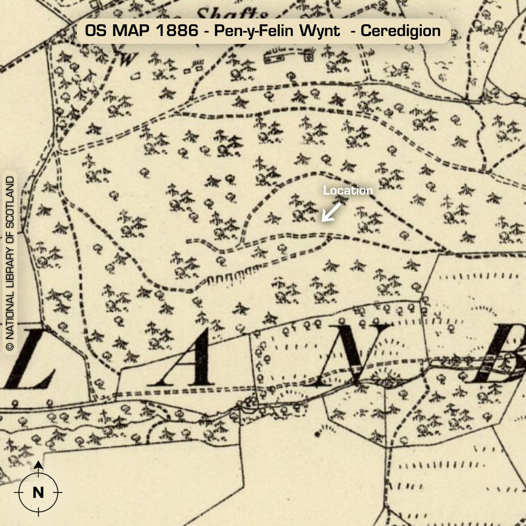
LiDAR – Pen-y-Felin Wynt - Ceredigion DTM- (Digital Terrain Model, i.e. No buildings or foliage) 2.7km southeast of the village of Maes-bangor atop a ridgeline overlooking the Wigwam Holidays camp from the west sits a recently discovered (1950’s) promontory fort, Pen-y-Felin Wynt Entrance on north-side. Modern cut through rampart on east side. Interesting trackway approach from the west. At least two house platforms visible on LiDAR. (Scheduled monument) Iron Age tribal association (conjecture based on location): Demetae