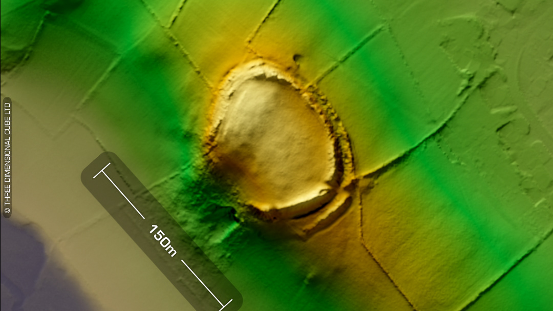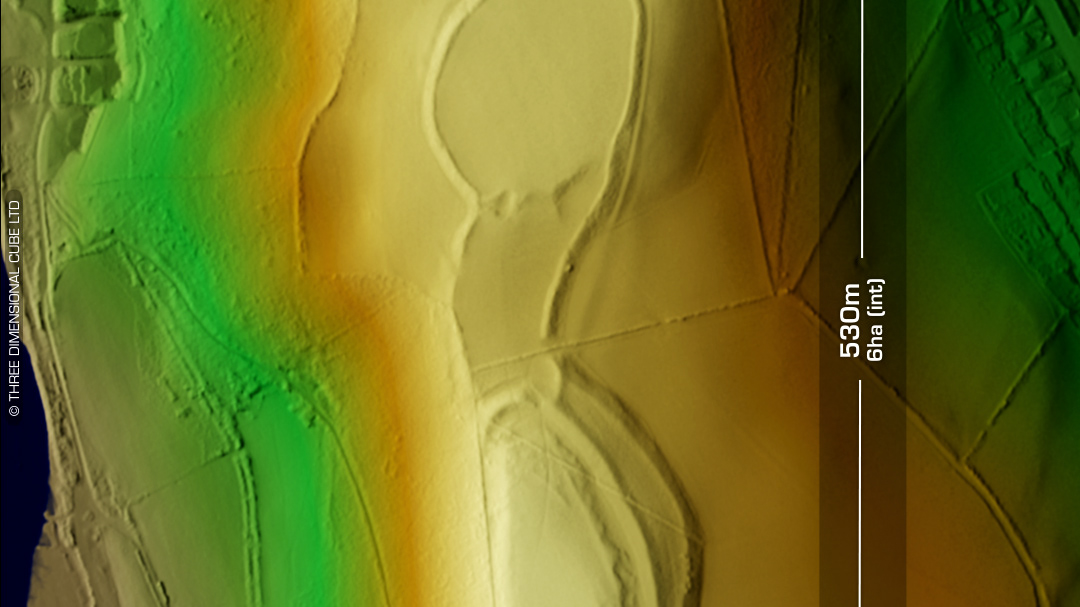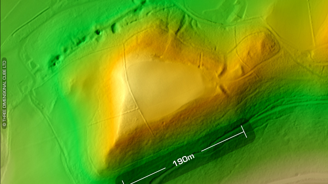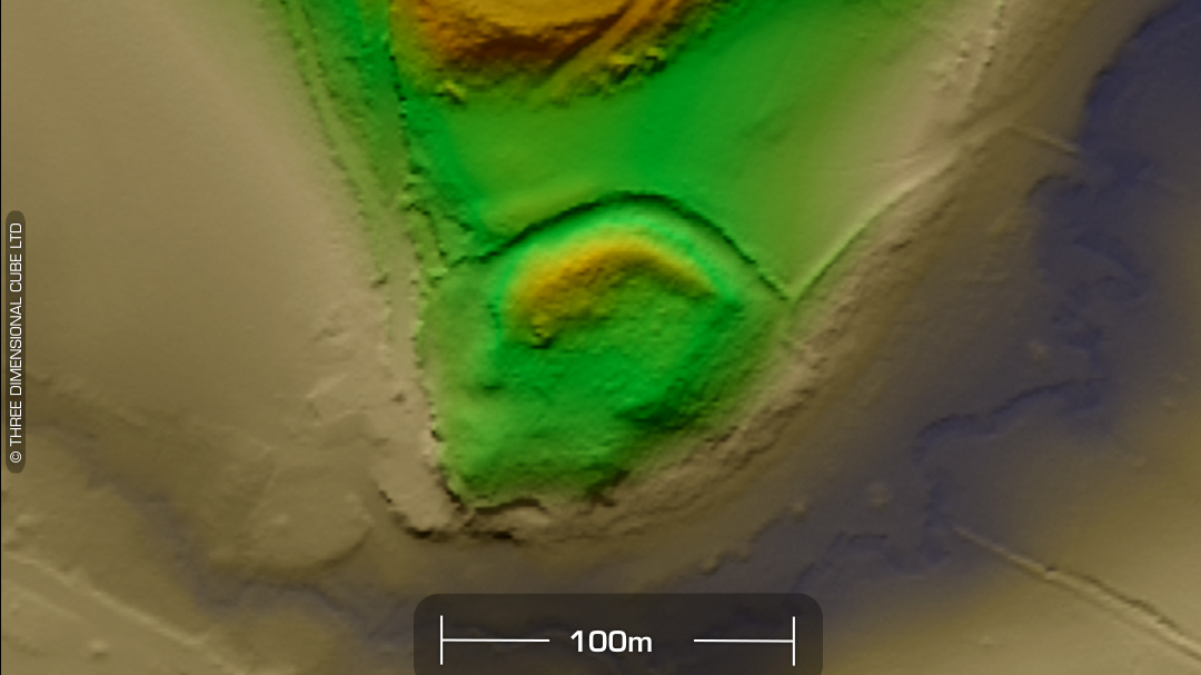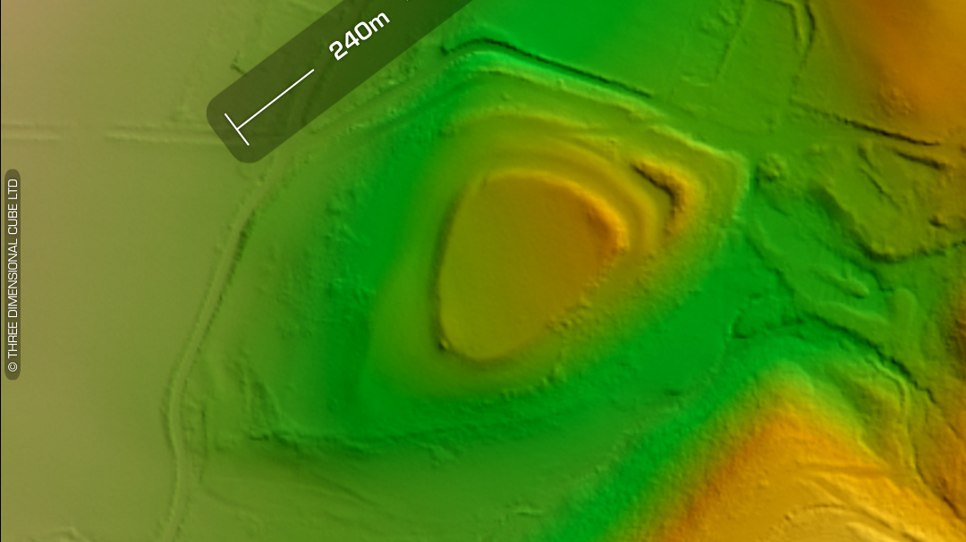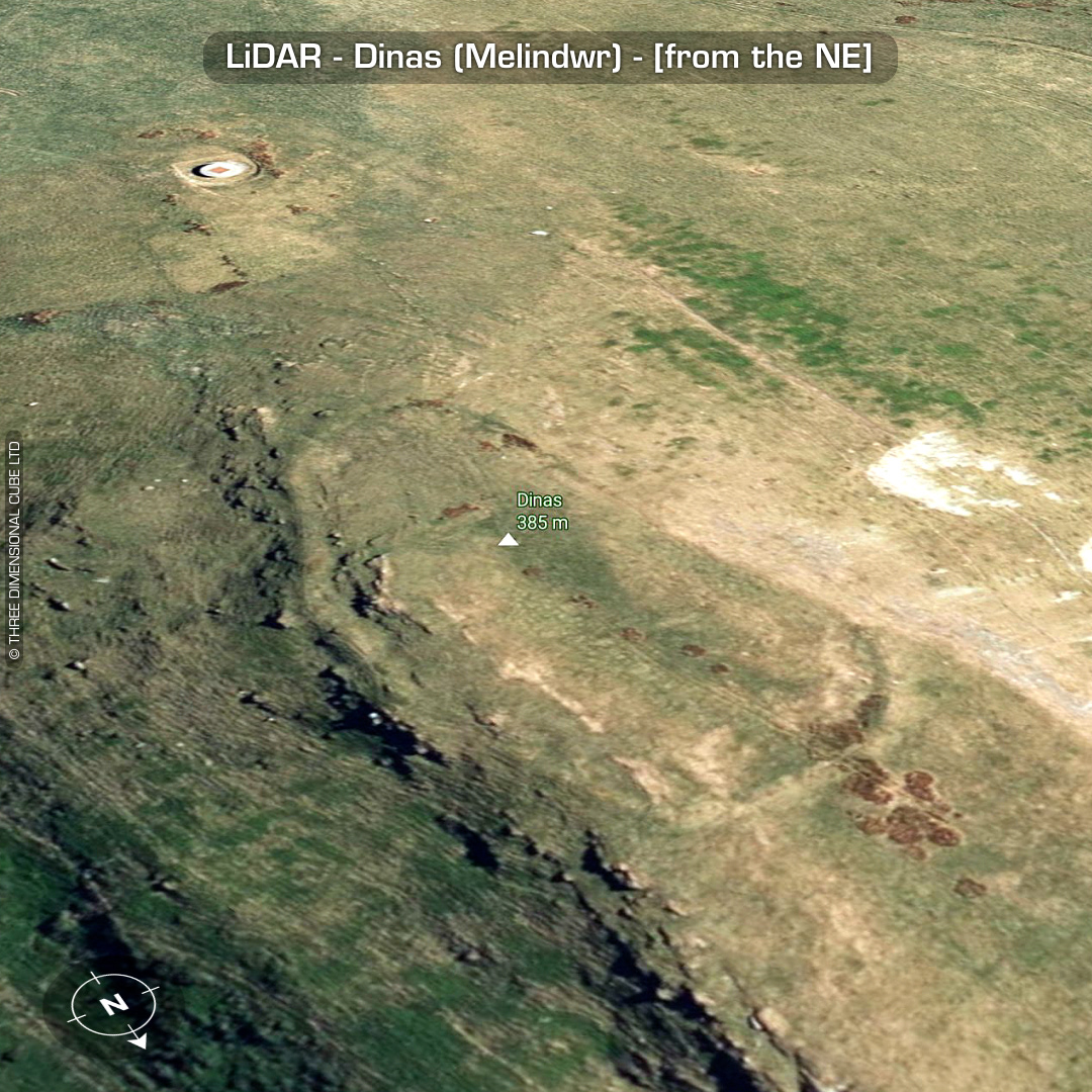

DTM- (Digital Terrain Model, i.e. No buildings or foliage) Overlooking the village of Ponterwyd 2.3km to the SSE sits the univallate hillfort, Dinas (Melindwr). Defences include a stony bank. Simple entrance to the south. 5m wide house platform in interior with Hogg reporting other possible sites. Medieval ‘hurried’ burial south of the site found in 1938 included evidence of plate armour. I’ve included a large mining vent north of the site (as the DEM algorithm stripped it out) but it may also be related to the Dinas power plant to the SE which has a tunnel under the mountain. No recorded finds or excavations, hence undated*. (Scheduled monument) Iron Age tribal association (conjecture based on location): Demetae *Possible age range 2000-2700BP (Before present) Descriptions from hillforts.arch.ox.ac.uk & Dyfed Archaeological Trust HER. 1st ED OS Mapping via National Library of Scotland. Contains public sector information licensed under the Open Government Licence v3.0.