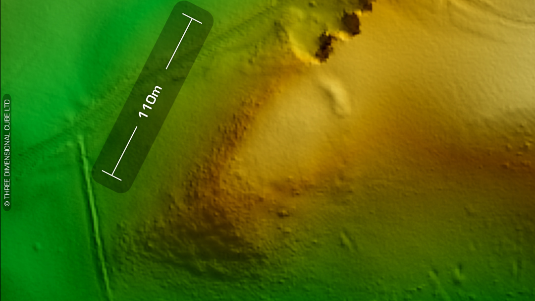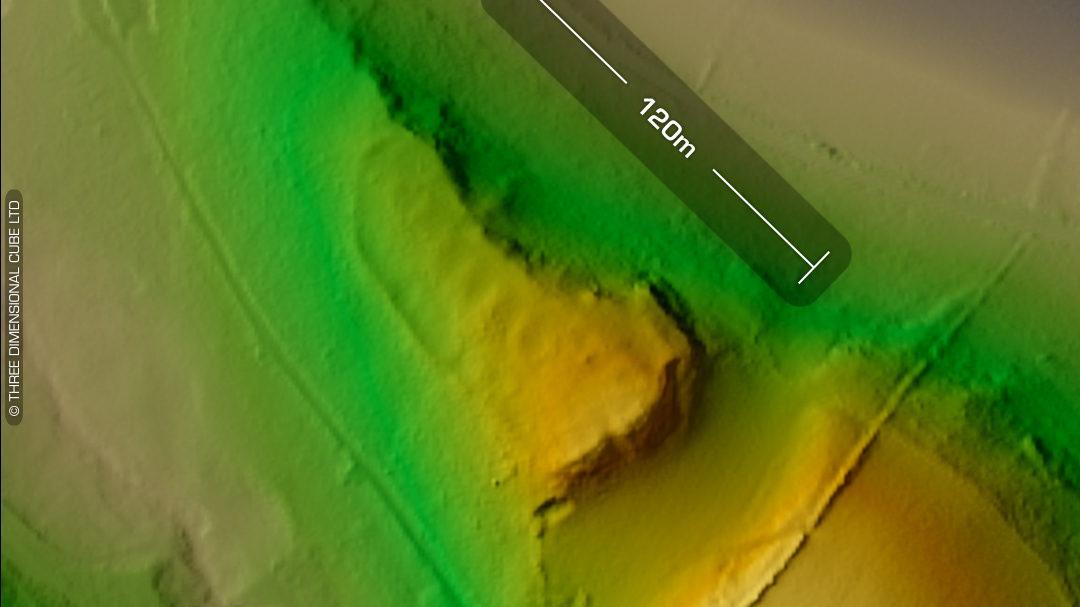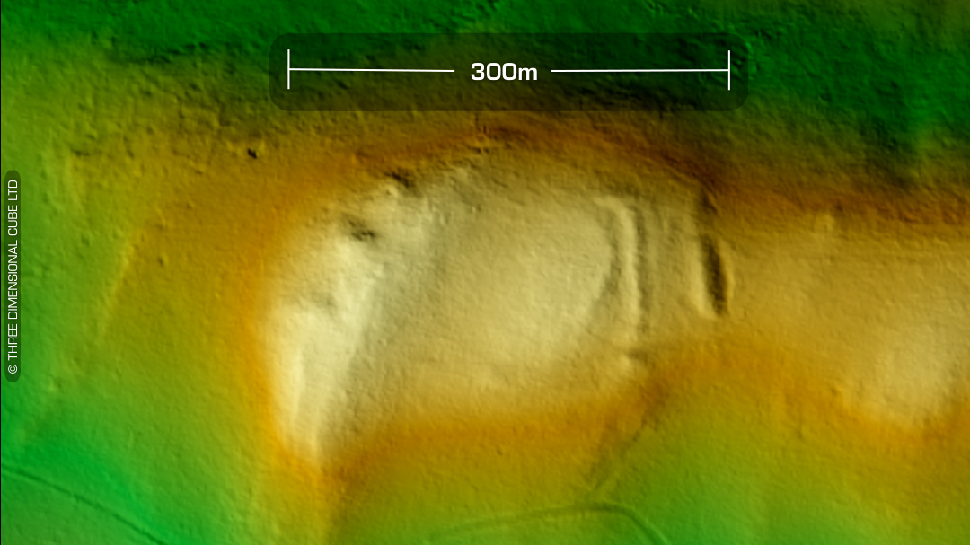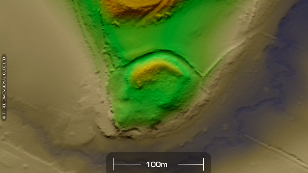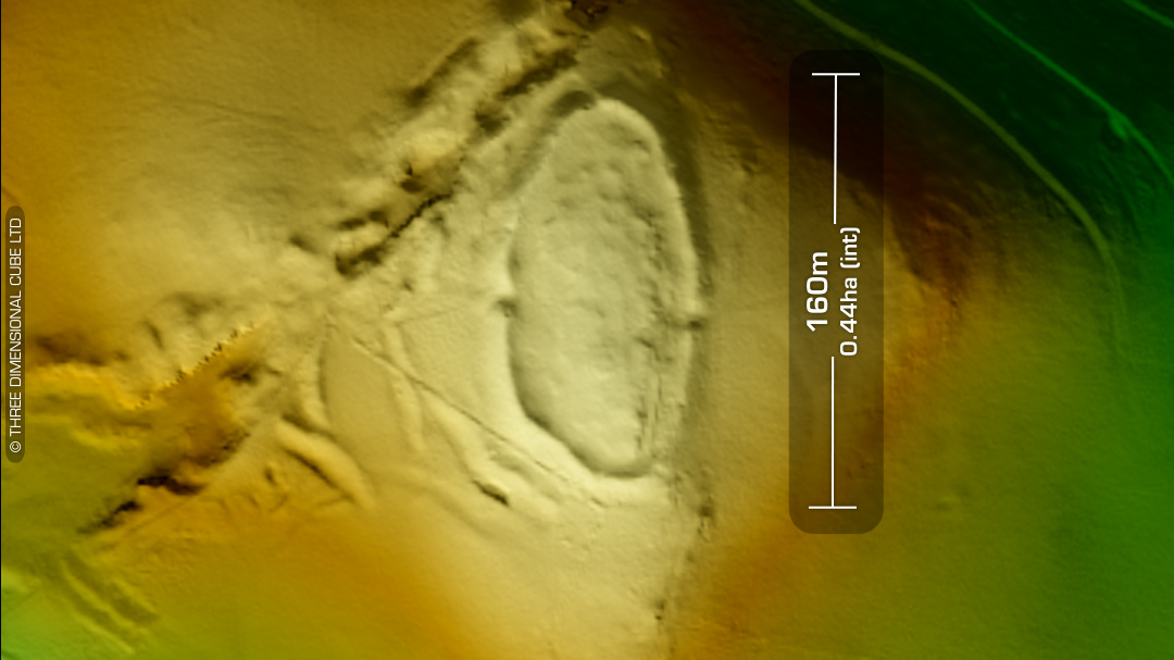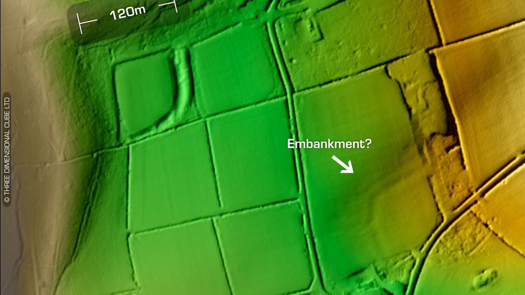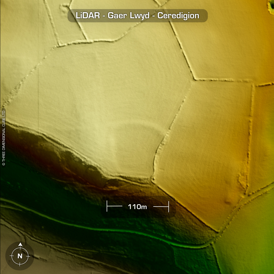
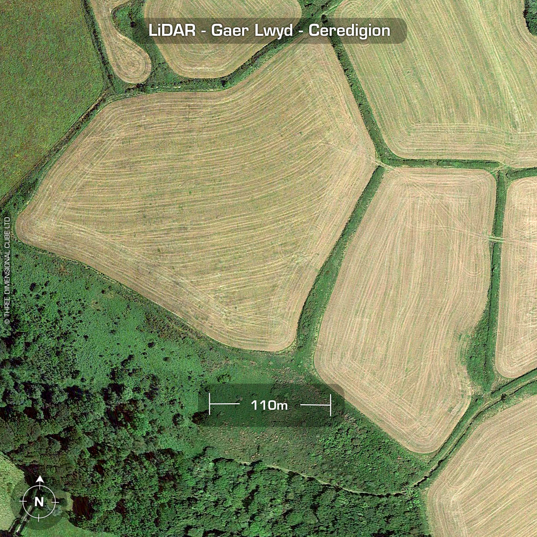
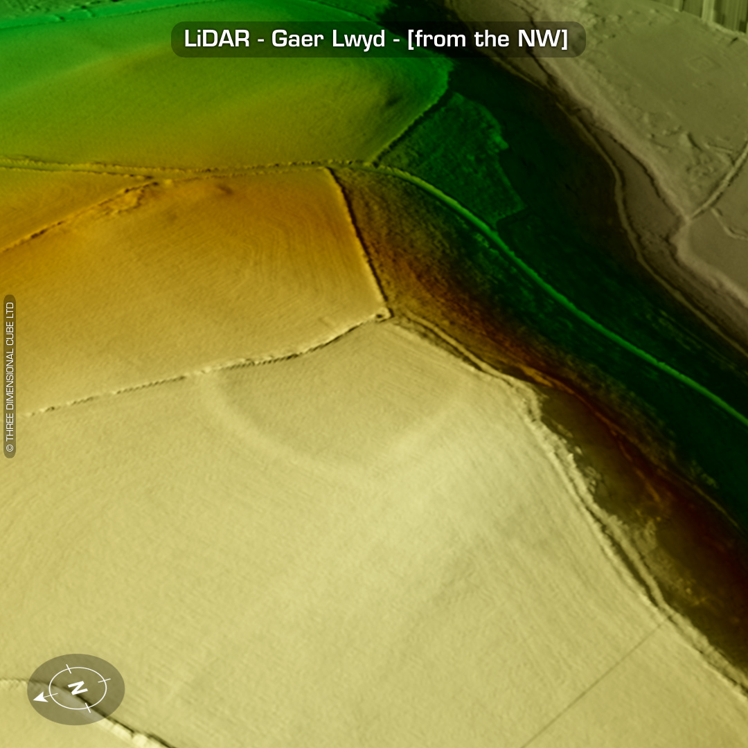
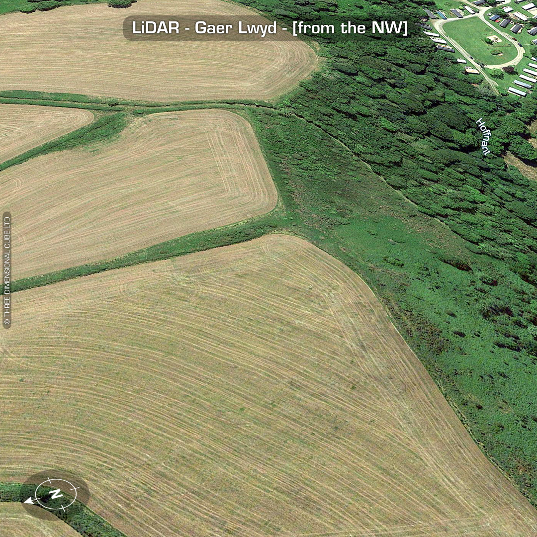

DTM- (Digital Terrain Model, i.e. No buildings or foliage) Overlooking the National Trust site of Penbryn near Penbryn beach sits the heavily degraded fort, Gaer Lwyd. Defences almost destroyed by ploughing. LiDAR has brought out some interesting features to the east & west of the main enclosure, but it could be just geology. HER contain a line that says: ‘This is probably the 'Gaer Lwyd' that D Prys Williams recorded as having been demolished shortly before 1905’ No further information recorded. No recorded finds or excavations, hence undated*. (Scheduled monument) Iron Age tribal association (conjecture based on location): Demetae *Possible age range 2000-2700BP (Before present) Descriptions from hillforts.arch.ox.ac.uk & Dyfed Archaeological Trust HER. 1st ED OS Mapping via National Library of Scotland. Contains public sector information licensed under the Open Government Licence v3.0.