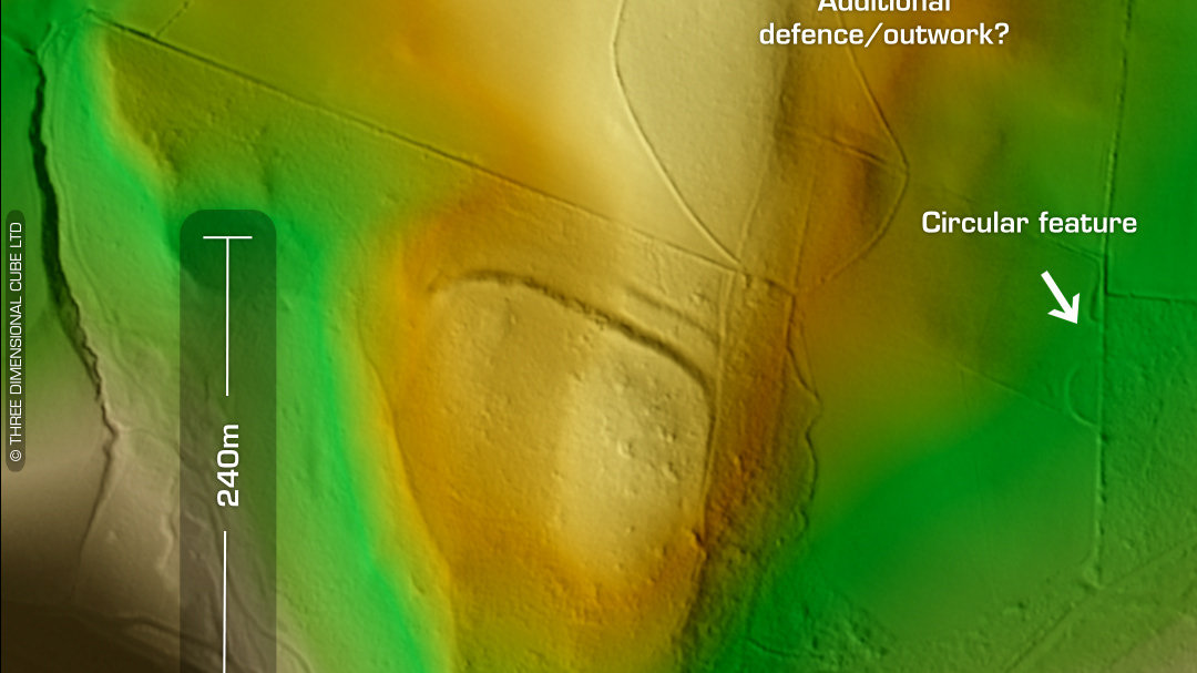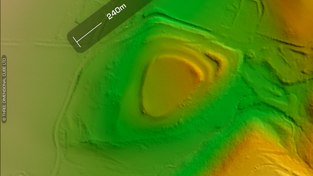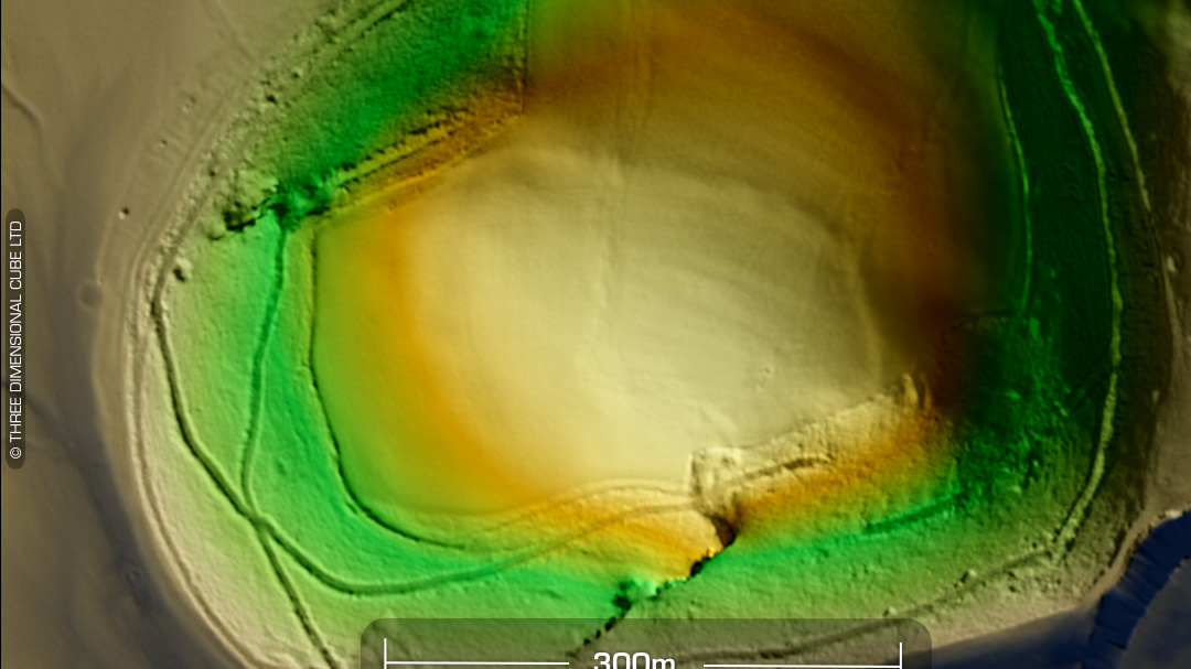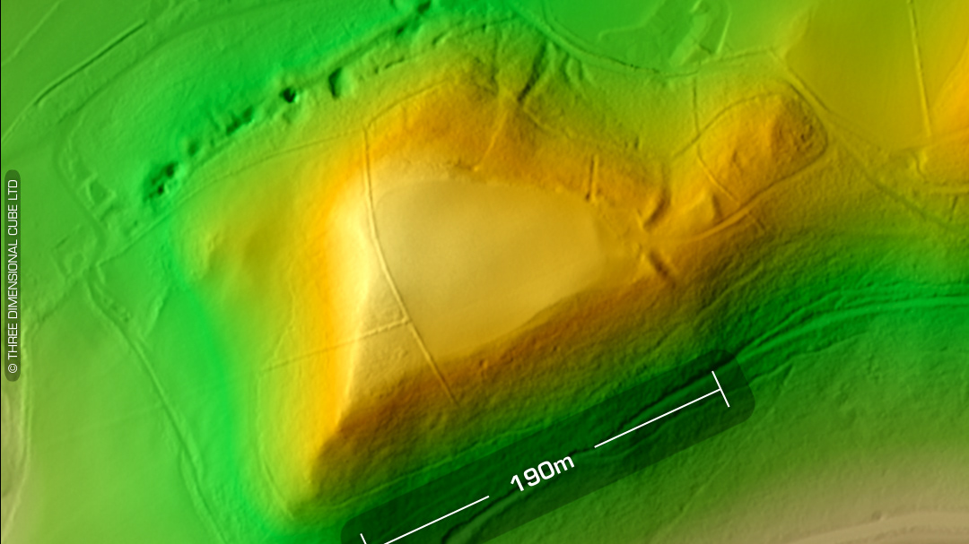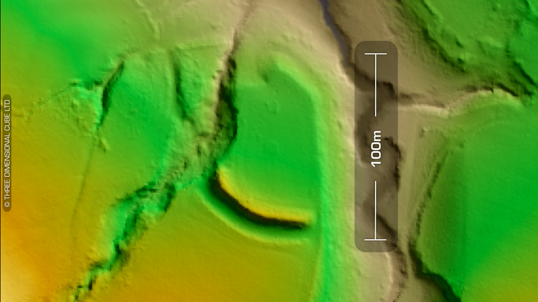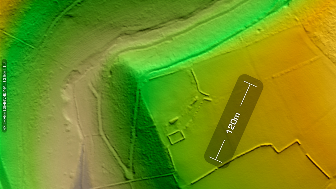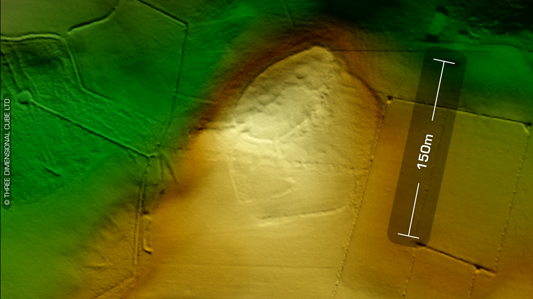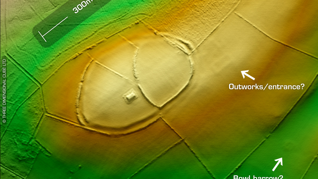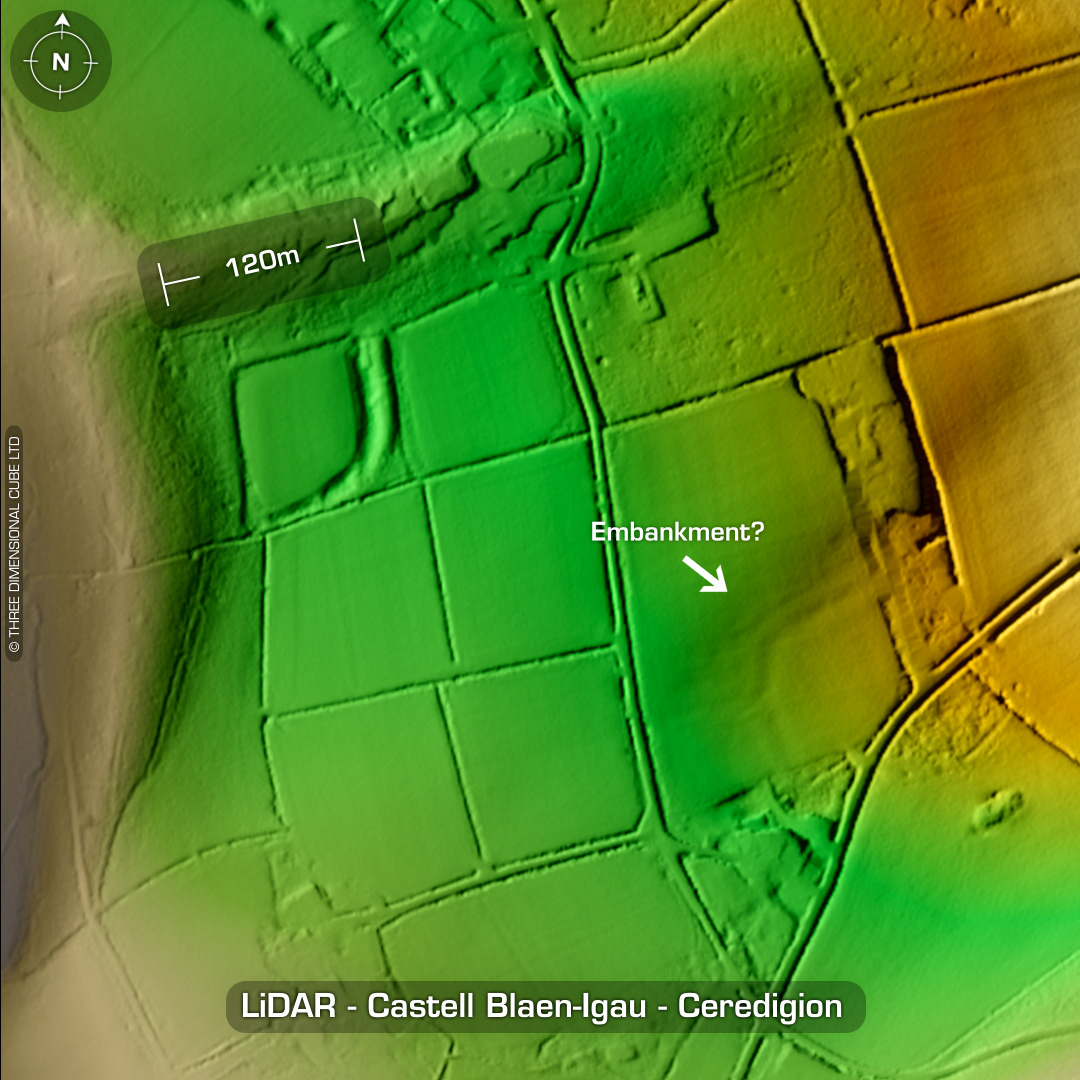
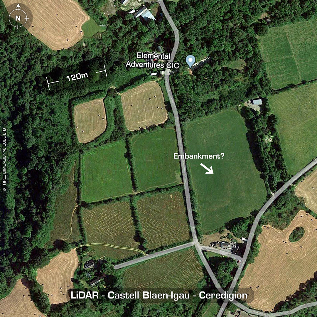
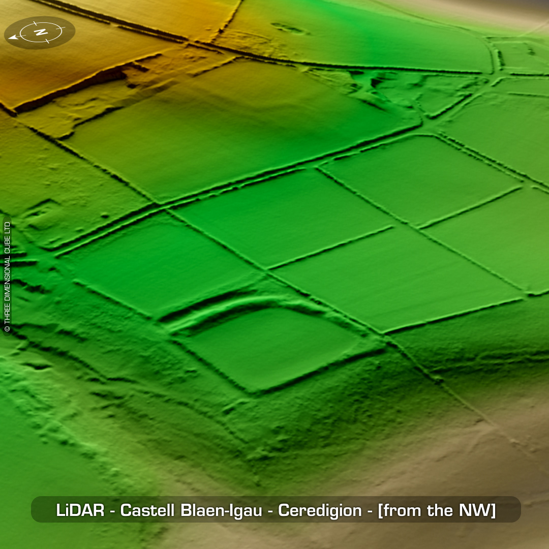
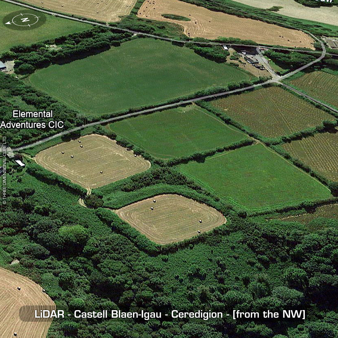
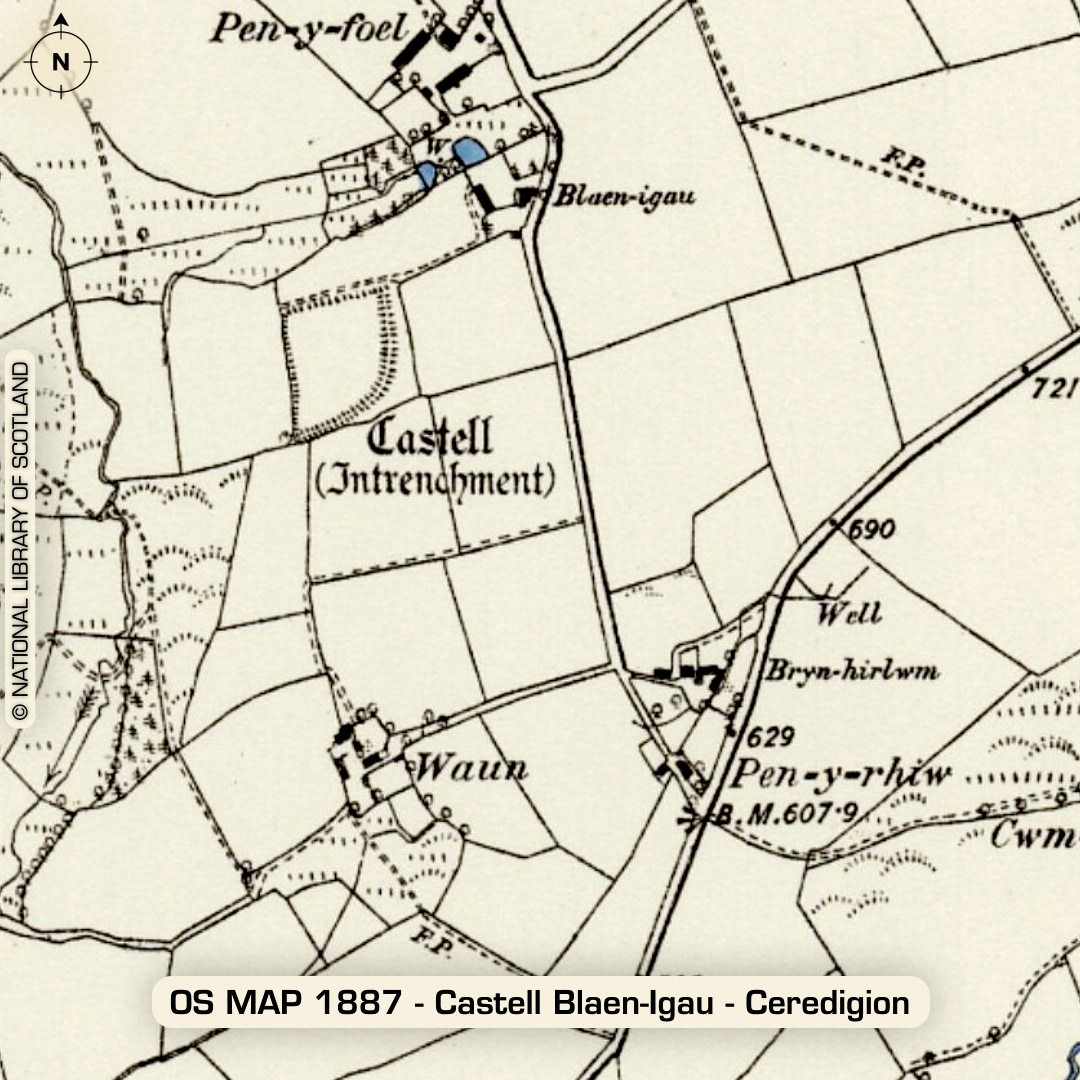
DTM- (Digital Terrain Model, i.e. No buildings or foliage) (I had this site I found confirmed yesterday by Ken Murphy at DYFED HER.) Overlooking the village of Brynhoffnant from the southeast sits the inland promontory fort, Castell Blaen-Igau. 2.5m high bank. Interior heavily degraded by ploughing. Below & to the right of Blaen-Igau I found a mirrored site which needed evaluation by DYFED HER. (Indicated). Site now going on HER! No recorded finds or excavations, hence undated*. (Scheduled monument) Iron Age tribal association (conjecture based on location): Demetae *Possible age range 2000-2700BP (Before present) Descriptions from hillforts.arch.ox.ac.uk & Dyfed Archaeological Trust HER. 1st ED OS Mapping via National Library of Scotland. Contains public sector information licensed under the Open Government Licence v3.0.