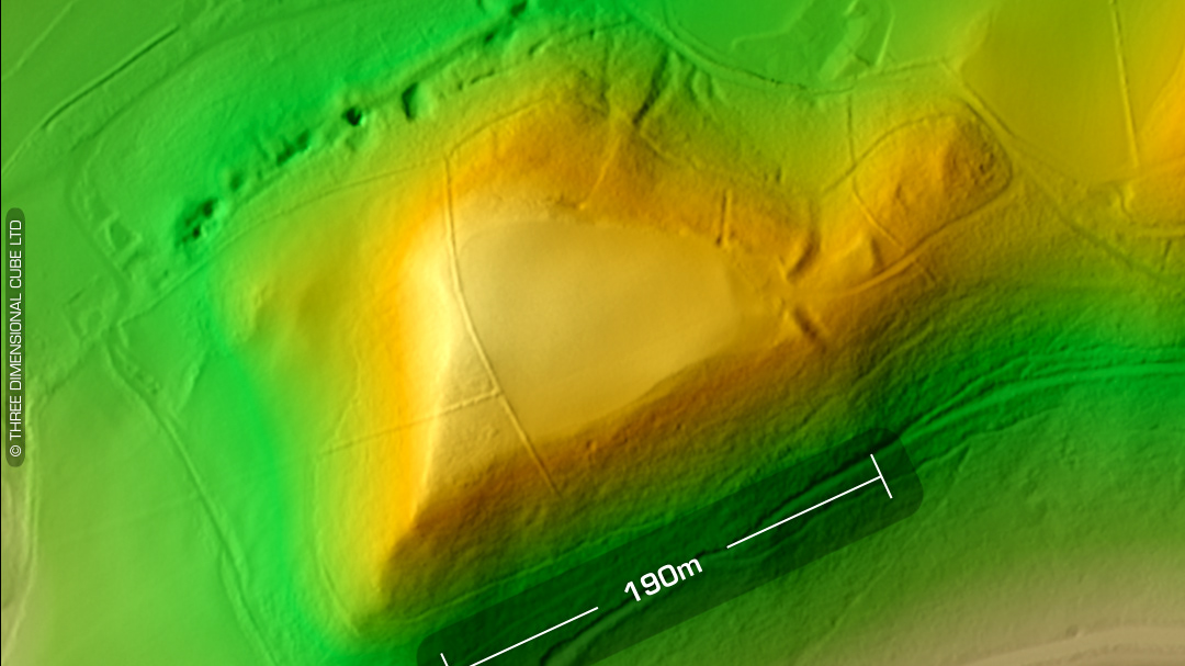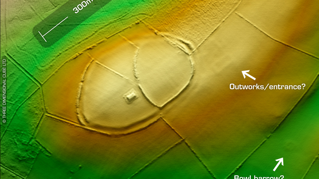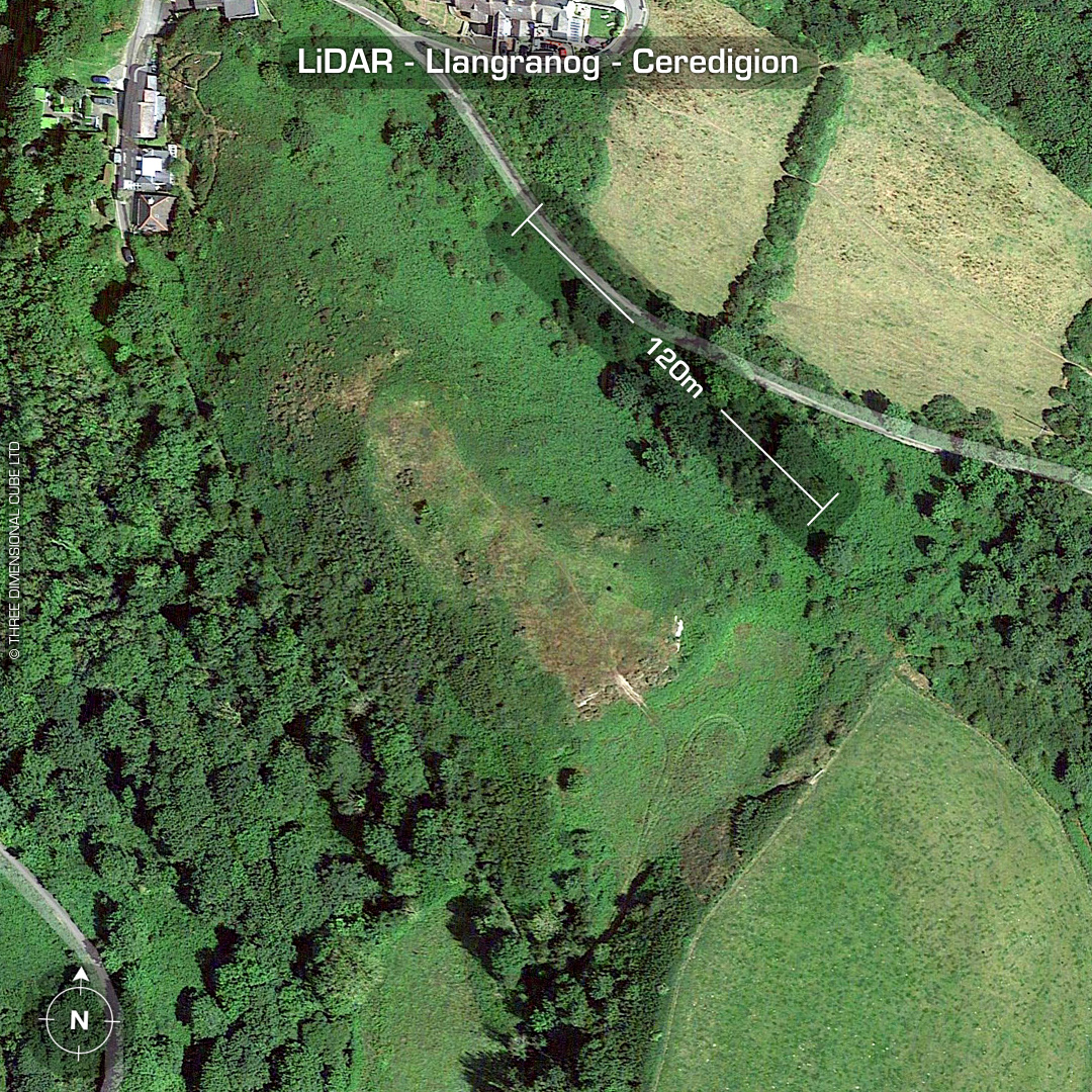
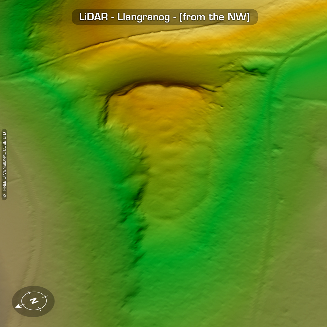
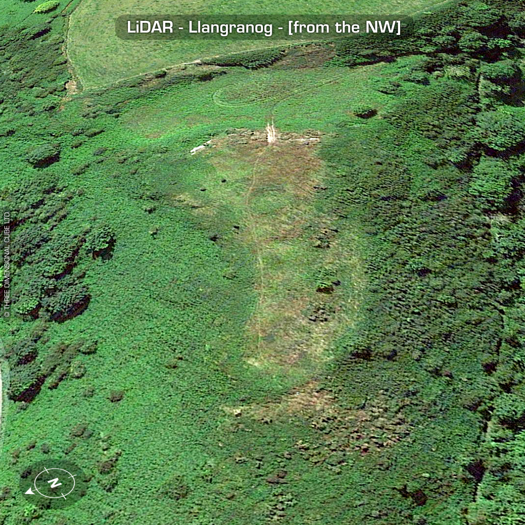
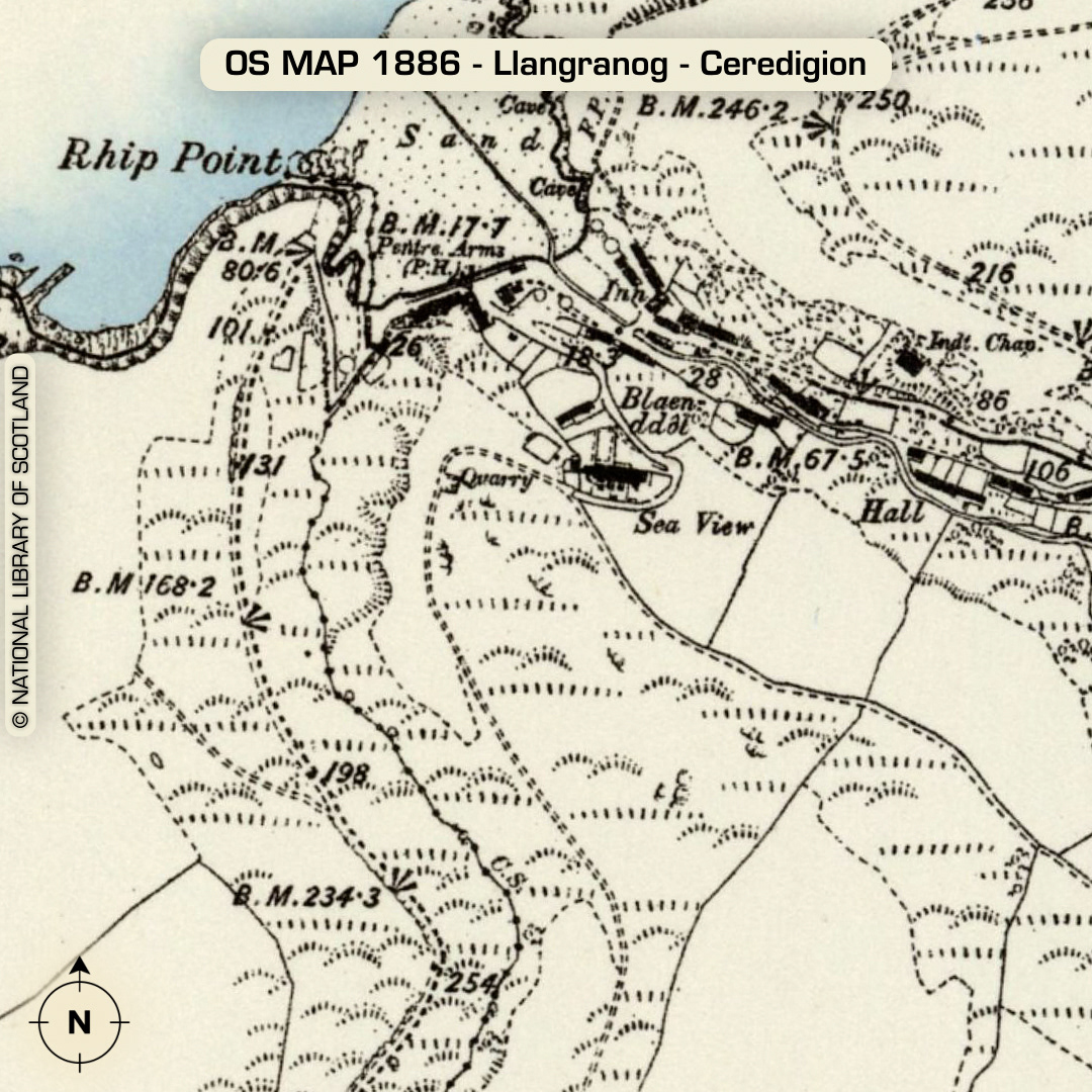
DTM- (Digital Terrain Model, i.e. No buildings or foliage) On a promontory overlooking Llangranog beach sits the well defended promontory fort, Llangranog. Possible entrance on NE side. Saddle defence guarding approach on SE side thought to be natural. At least six hut platforms visible on LiDAR stepping down from SE to NW. Old quarries on north-side. Mesolithic findspots all around area. No recorded finds or excavations, hence undated*. (Scheduled monument) Iron Age tribal association (conjecture based on location): Demetae *Possible age range 2000-2700BP (Before present) Descriptions from hillforts.arch.ox.ac.uk & Dyfed Archaeological Trust HER. 1st ED OS Mapping via National Library of Scotland. Contains public sector information licensed under the Open Government Licence v3.0.