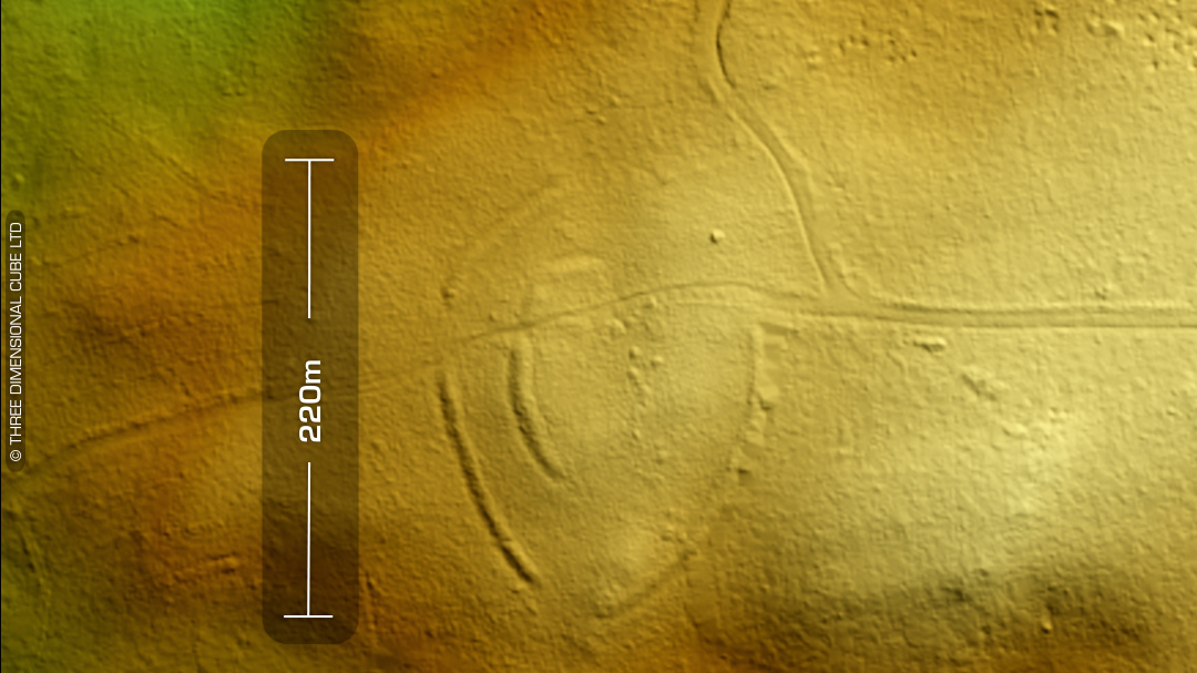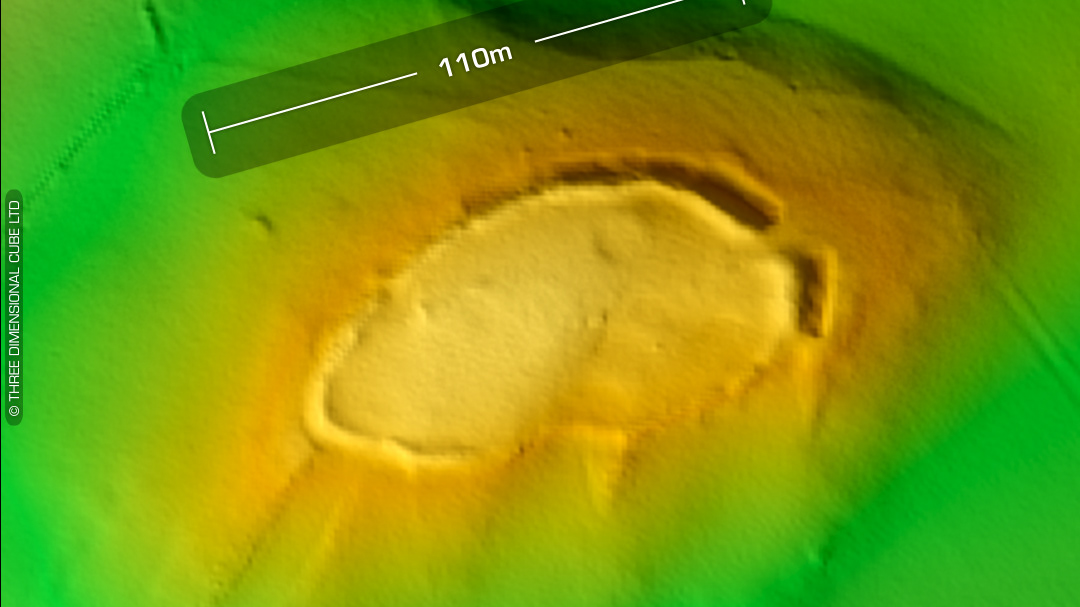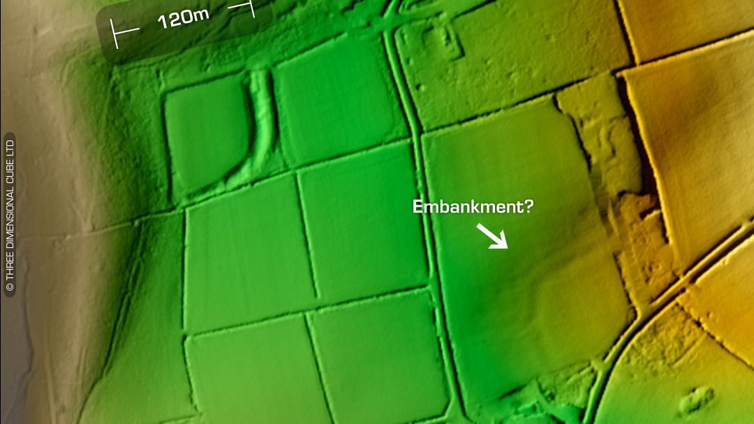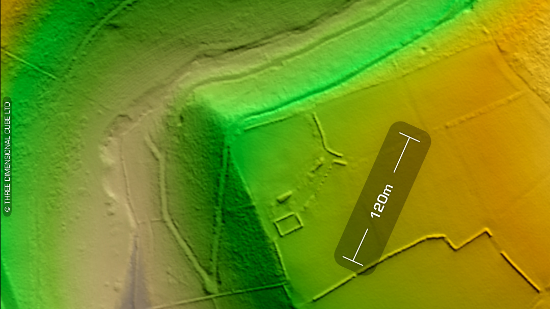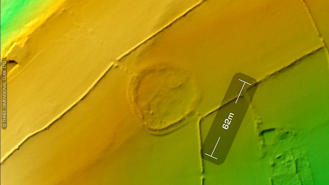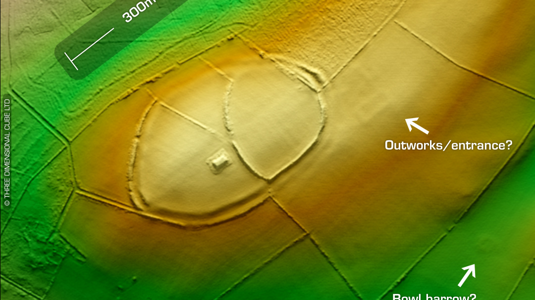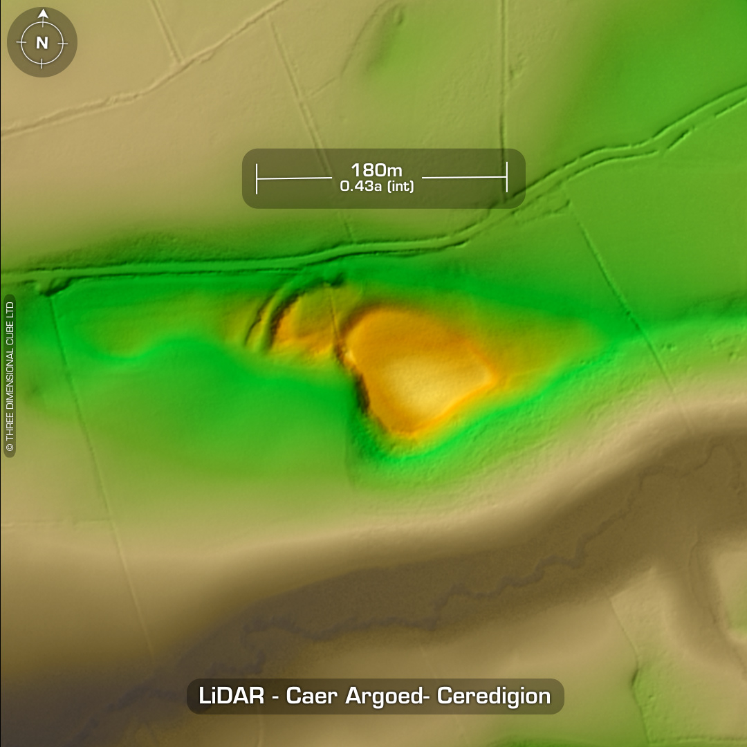

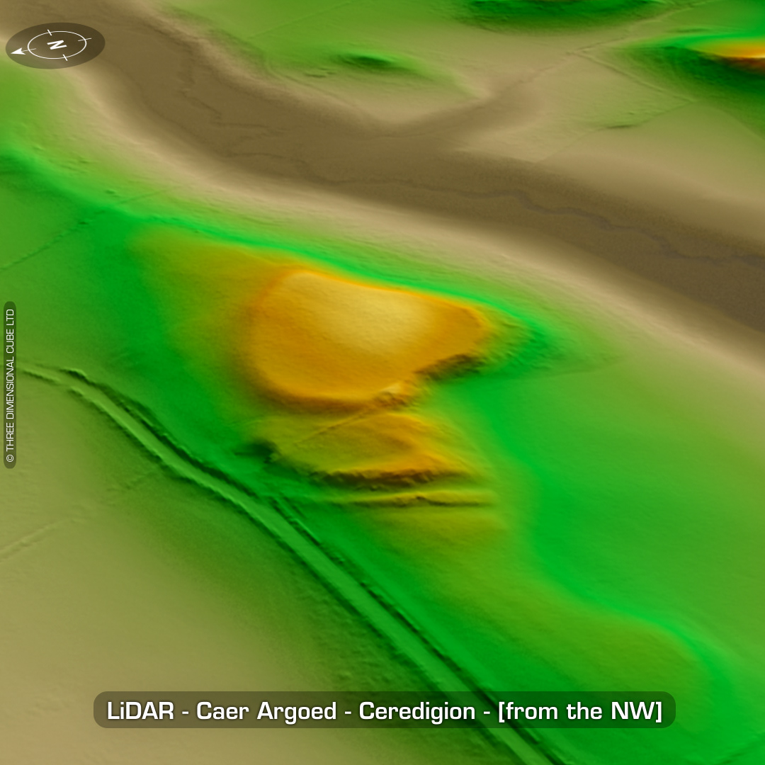
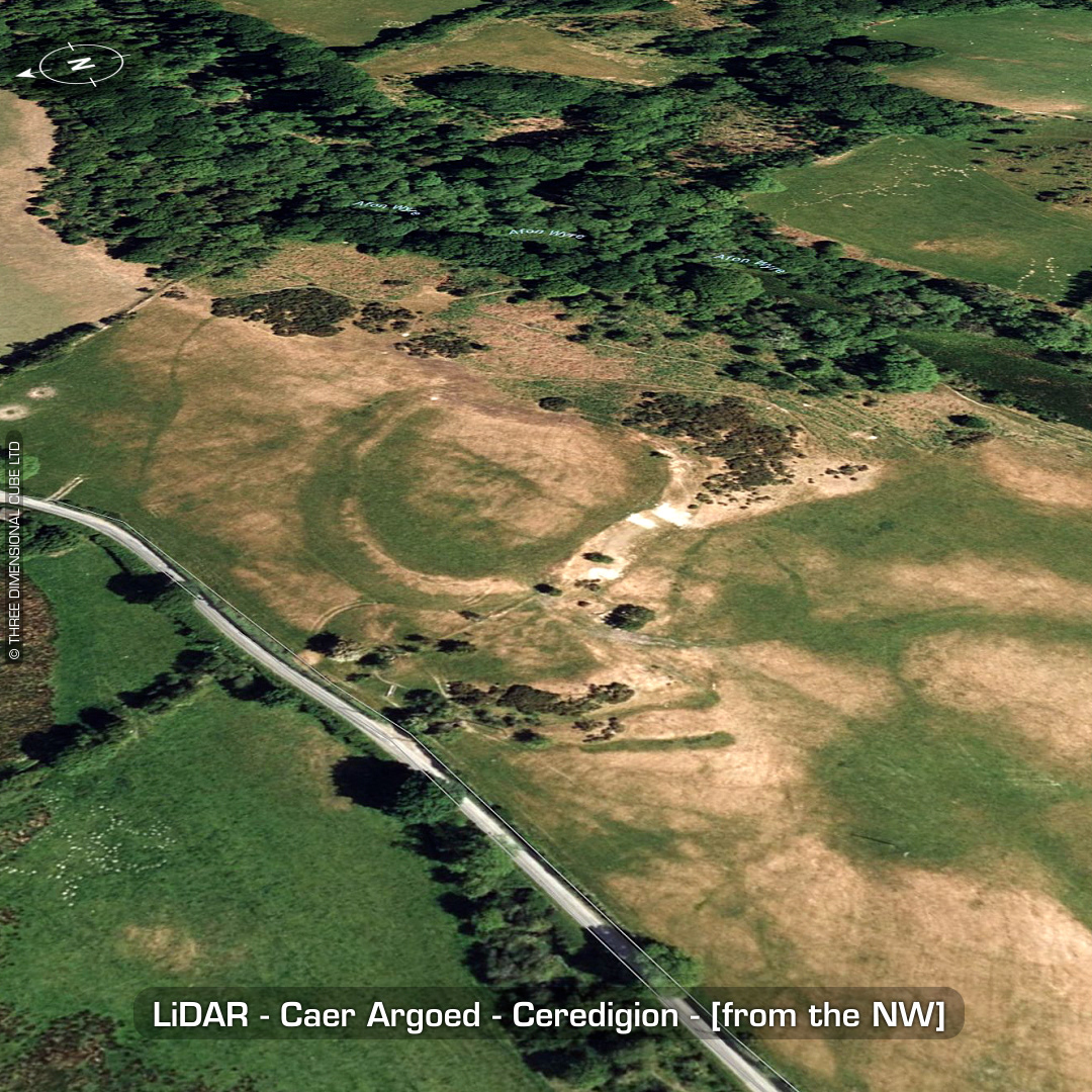
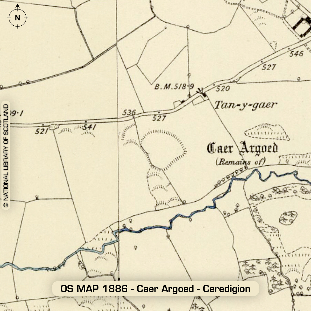
DTM- (Digital Terrain Model, i.e. No buildings or foliage) One point five kilometres west of the village of Llangwryfon lies the heavily degraded univallate hillfort, Caer Argoed. Arieal cropmarks denote outworks and ditches not visible on LiDAR. Four rock-cut pits within interior. From DYFED HER: Anecdotal evidence on the field names kindly given by the landowner records the names `Y Gaer’ for the field containing the main fort, `Fron Gaer’ for the field containing the northwest (earthwork) annex, and `Domen Gaer’ for the field immediately adjacent to the southwest angle of Fron Gaer, with its south side formed by Cwm Wyre. She noted that `Domen Gaer’ was traditionally said to have been the site of the `mound’ or rubbish tip of the main fort, this term commonly used nowadays to refer to muck heaps. T Driver 2004. No recorded excavations or finds, hence undated. (Scheduled monument) Iron Age tribal association (conjecture based on location): Demetae Descriptions from hillforts.arch.ox.ac.uk & Dyfed Archaeological Trust HER. 1st ED OS Mapping via National Library of Scotland. Contains public sector information licensed under the Open Government Licence v3.0.