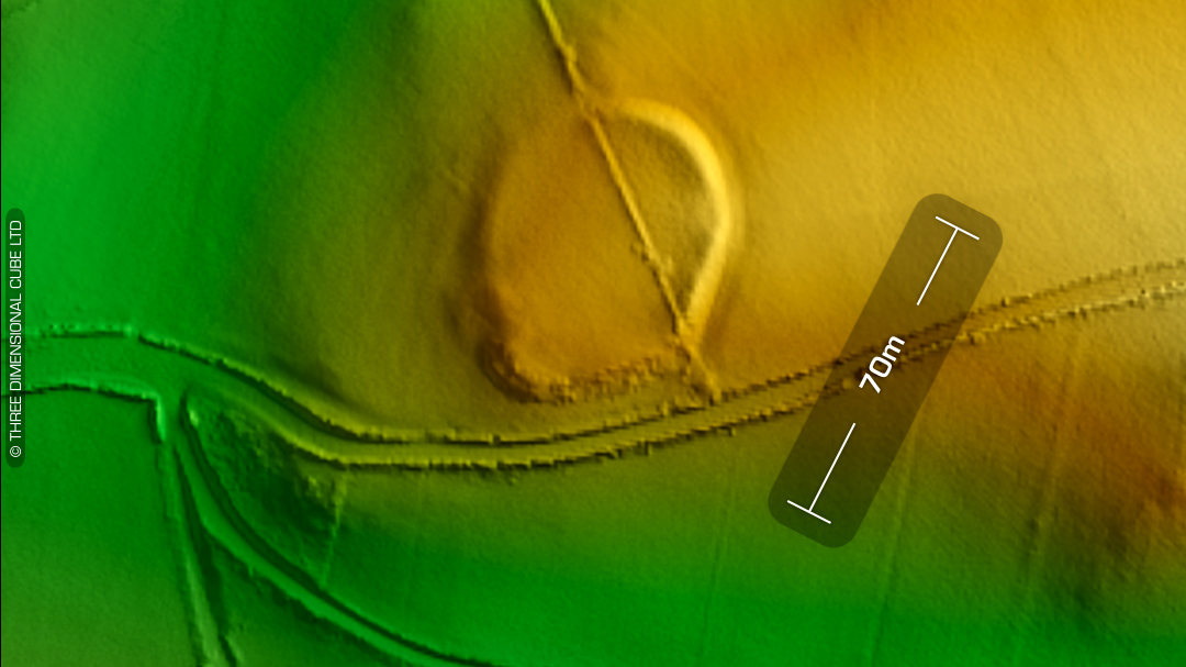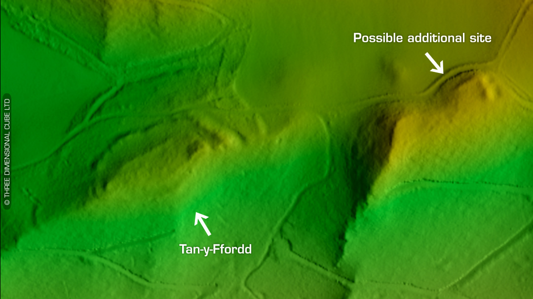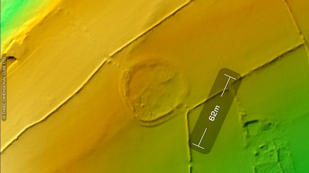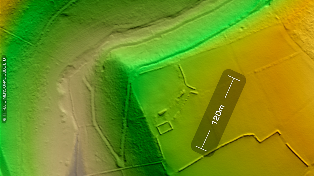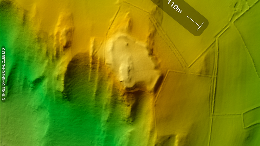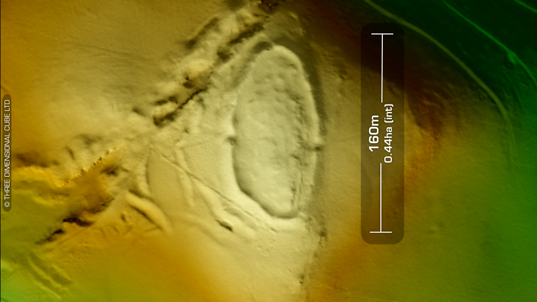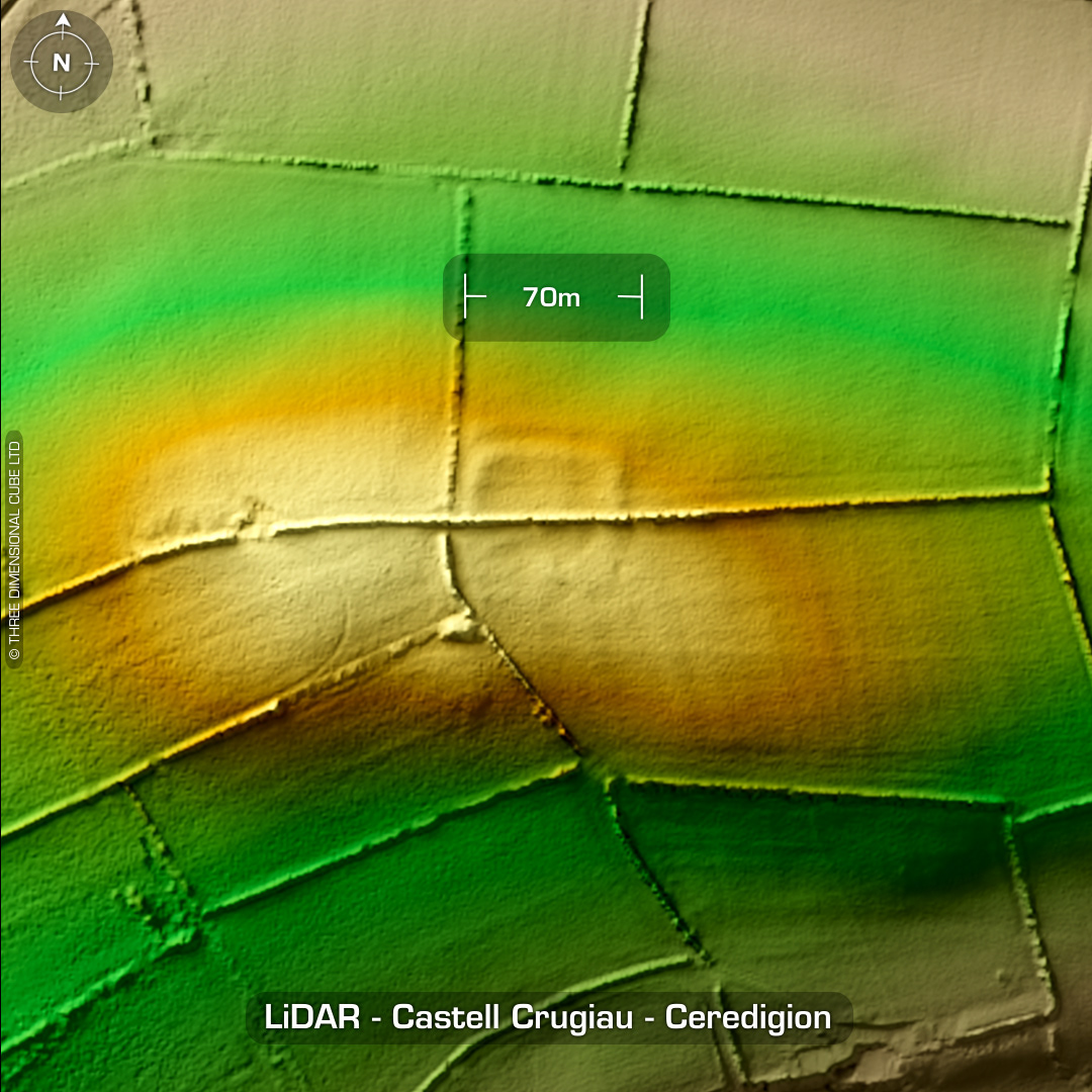
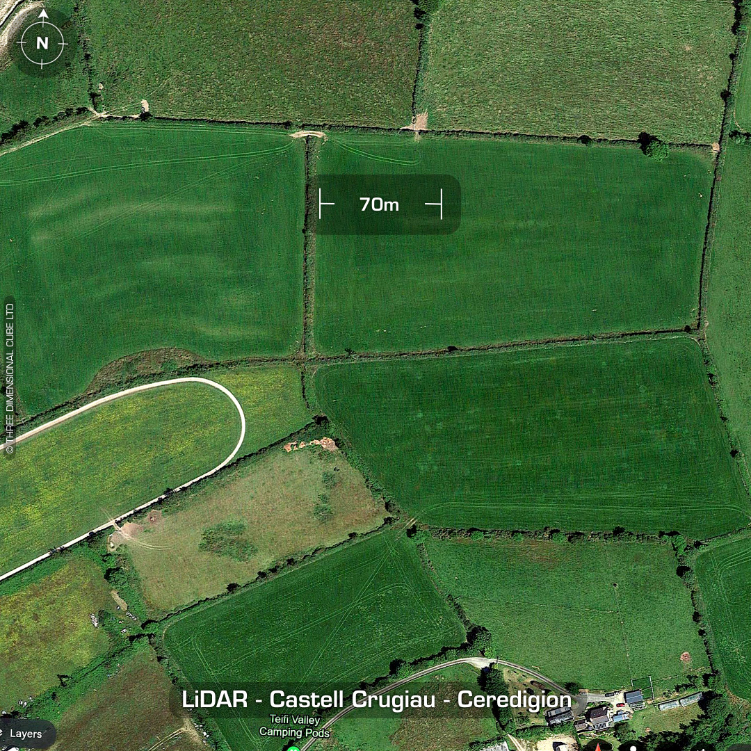
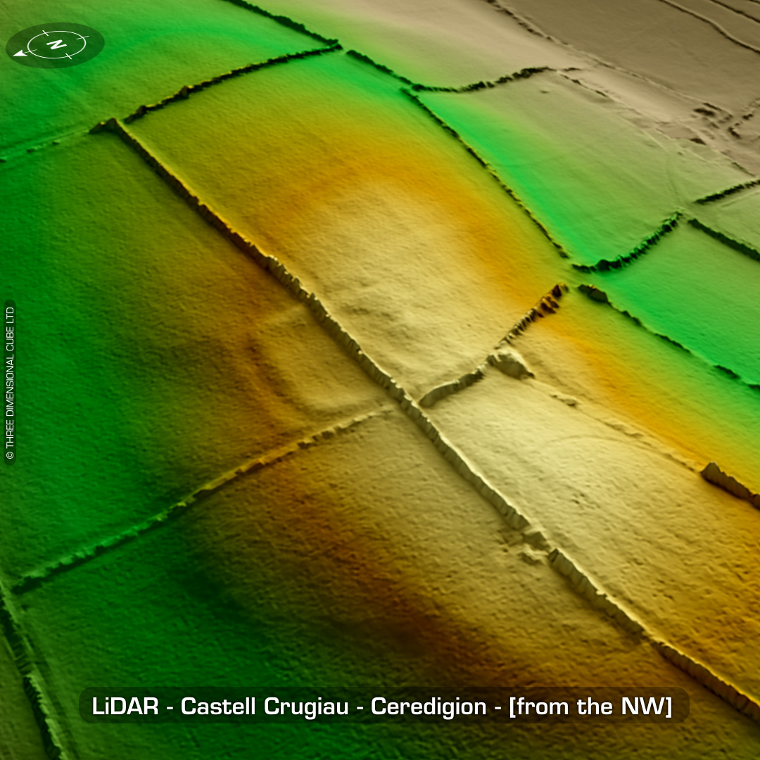
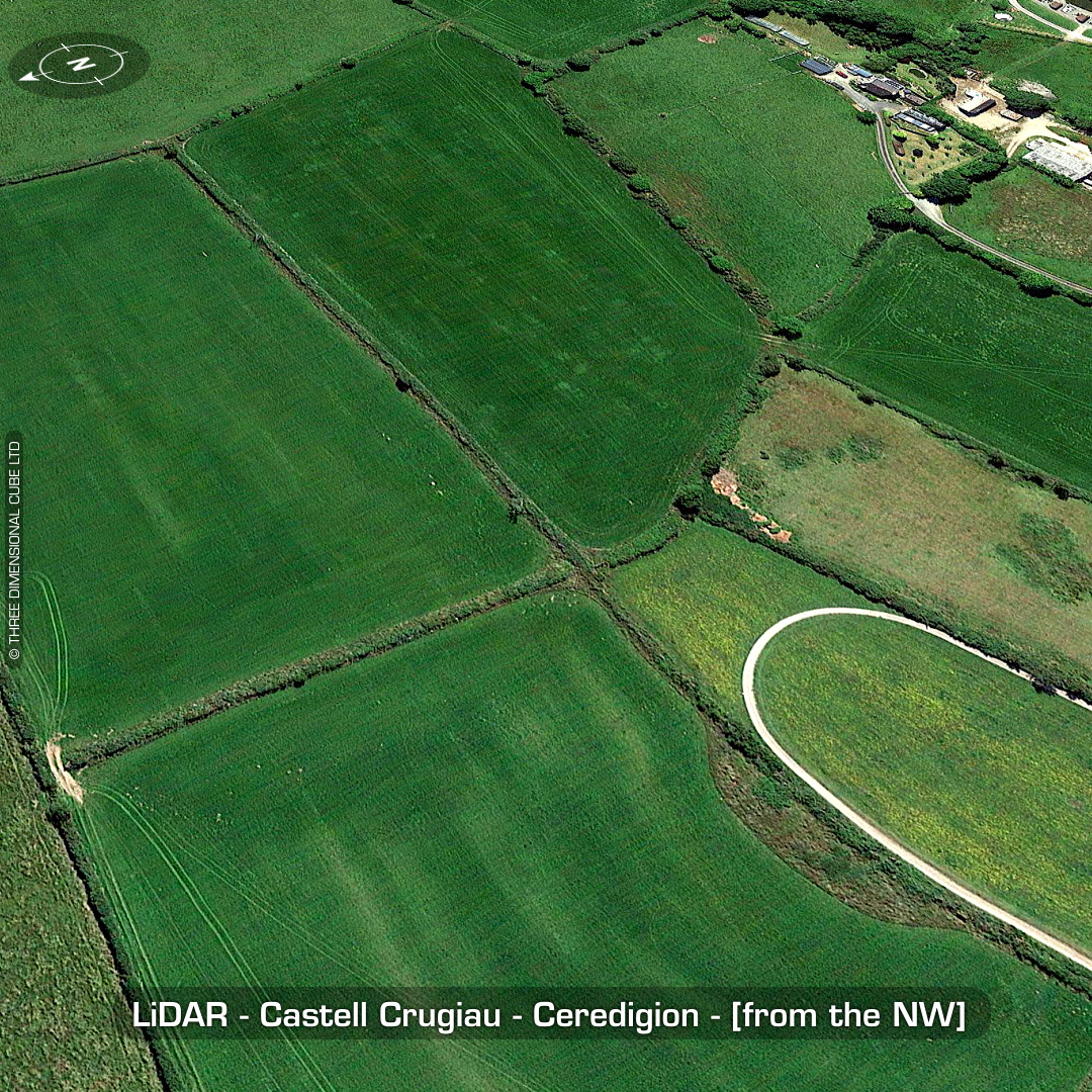
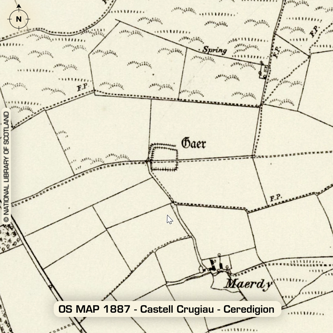
DTM- (Digital Terrain Model, i.e. No buildings or foliage) Overlooking Parc Maerdy Glamping and the village of Pentregat lies the small square enclosure, Castell Crugiau which is also known as ‘Plwmp’. Morphology suggests a Roman site, not unlike Yet Wen (in size) in Pembrokeshire (currently being excavated). There is an argument for an Iron Age date as well as early medieval, so only a site visit & trial trench will clear that up. Heavily degraded by ploughing. As you can see its not visible on Google Maps (even as a cropmark going ‘back in time’ on Google Maps Pro). The site was very extant in the 19th century for it to be recorded as a ‘Caer’ on old OS Maps. No recorded finds or excavations, hence undated*. (Scheduled monument) Iron Age tribal association (conjecture based on location): Demetae *Possible age range 2000-2700BP (Before present) Descriptions from hillforts.arch.ox.ac.uk & Dyfed Archaeological Trust HER. 1st ED OS Mapping via National Library of Scotland. Contains public sector information licensed under the Open Government Licence v3.0.