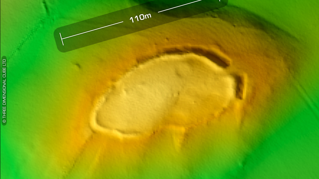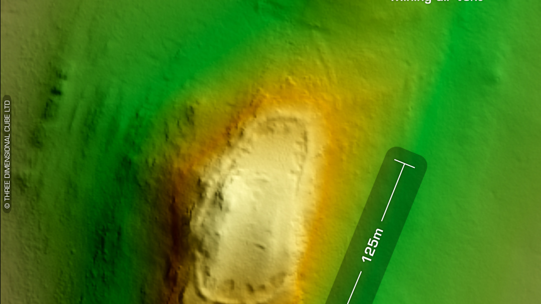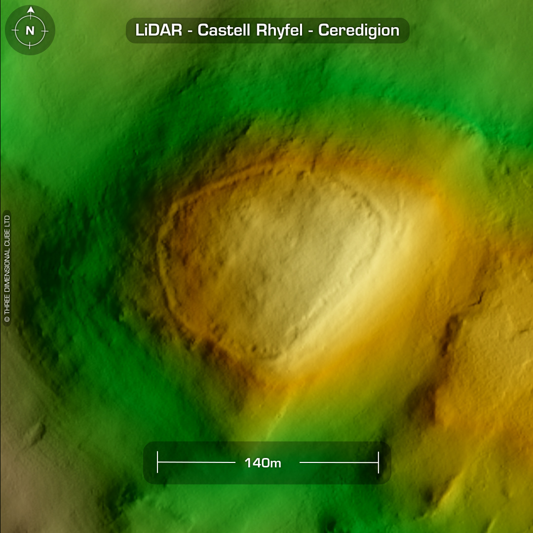
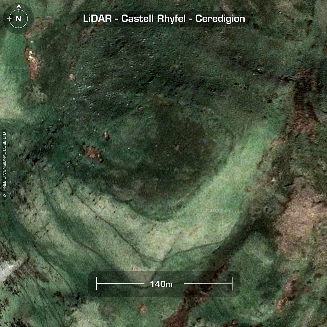
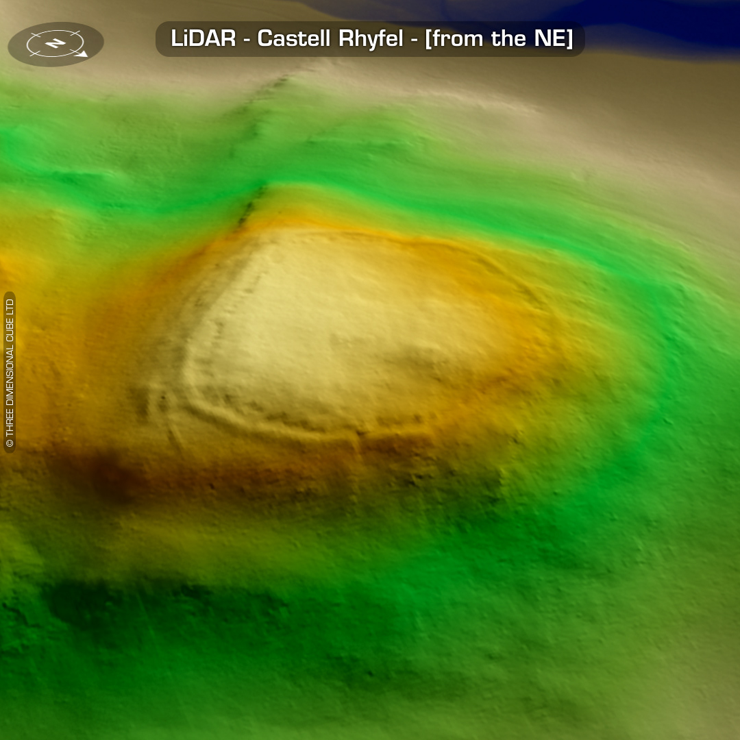
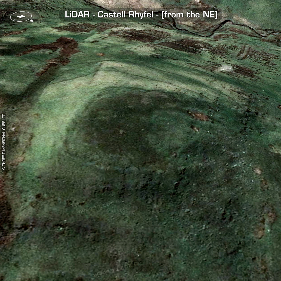
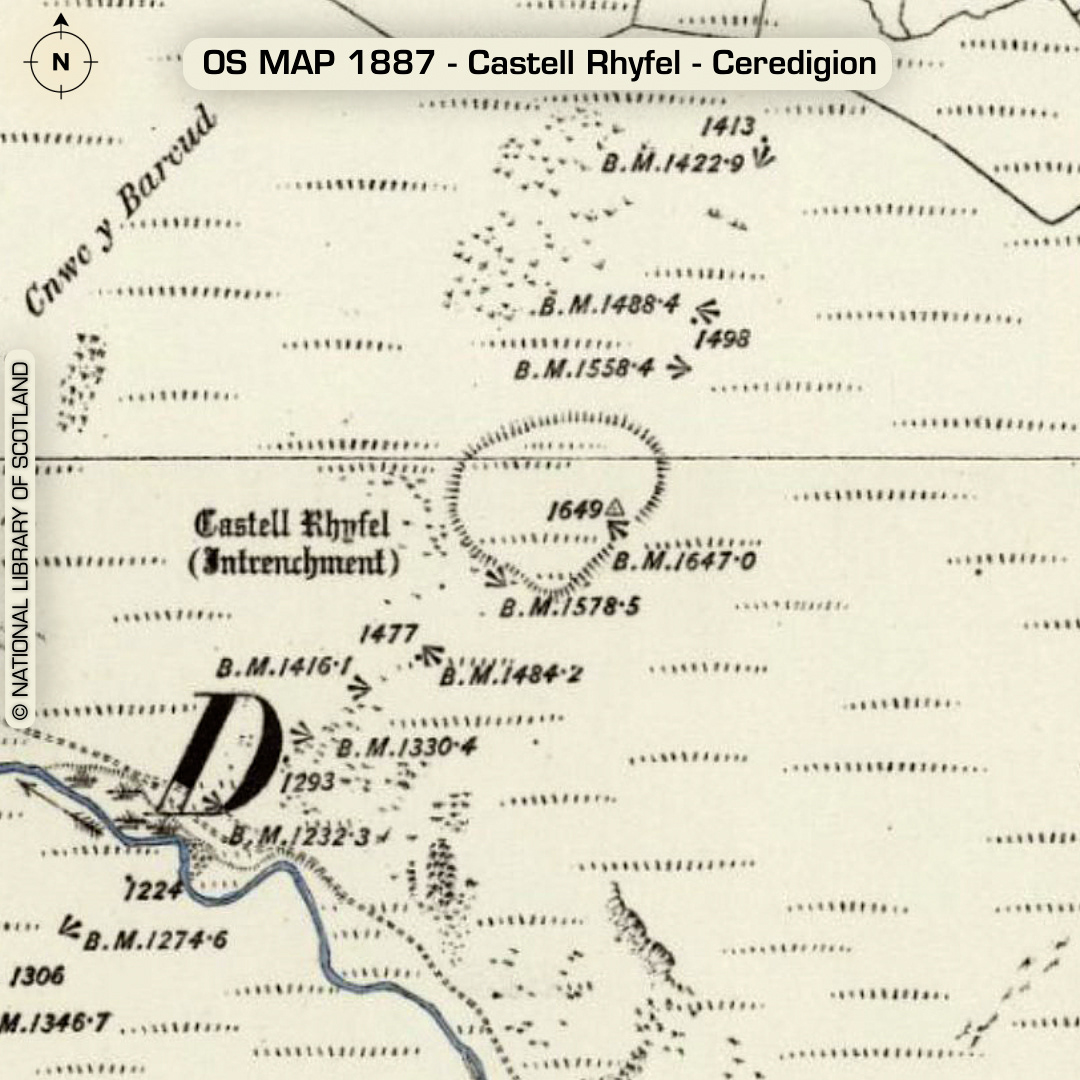
DTM- (Digital Terrain Model, i.e. No buildings or foliage) (I’ve had to adjust my text layout on the images & vids as Instagram keeps moving the location of the dots at the bottom of the images which denote extra images. These are now conflicting with my text so I’ve moved the titles to the top moving forward.) On the margins of the Cambrian mountains, 5km east of the village of Tregaron sits the univallate hillfort, Castell Rhyfel. Rampart constructed via quarry pits within the bank. Entrance on eastern tip. A natural ‘chevaux-de-frise’ (defensive obstacle) on SE side. Last site visit in 2007. No recorded finds or excavations, hence undated*. (Scheduled monument) Iron Age tribal association (conjecture based on location): Demetae *Possible age range 2000-2700BP (Before present) Descriptions from hillforts.arch.ox.ac.uk & Dyfed Archaeological Trust HER. 1st ED OS Mapping via National Library of Scotland. Contains public sector information licensed under the Open Government Licence v3.0.