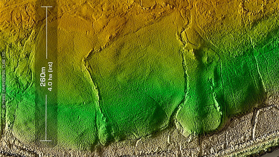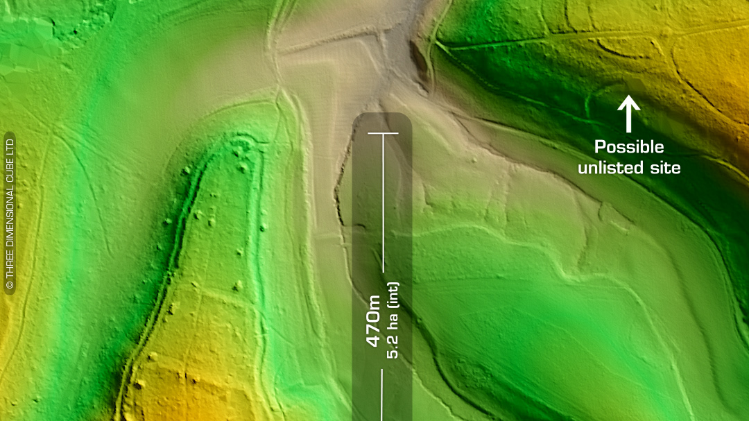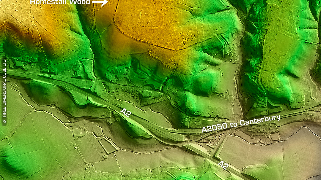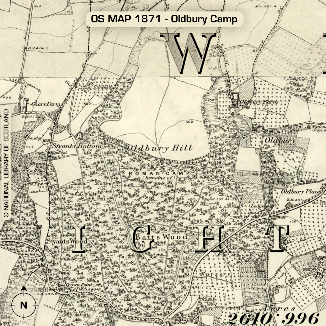
LiDAR – Oldbury Camp – Kent Location: 51°17’03”N 0°16’00”E DTM- (Digital Terrain Model, i.e. No buildings or foliage) Kent HER: MKE 247 Taking over an entire hilltop just to the south of the M26 just to the west of the village of Igtham lies the 52 Hectare multivallate hillfort of Oldbury Camp. Two thirds of the ramparts remain. ‘Excavated in 1938 (Ward Perkins 1939) and 1983-4 (Thomson 1984; 1985). The site is considered to have been constructed rapidly, but not continuously occupied’ -Atlas of Hillforts C14 analysis yield circa 400BC dates. Site abandoned around 50BC. Possible quarrying in the Romano-British period. ‘Finds of pottery, glass beads, piles of slingstones, querns, a whetstone and coins have all been recorded.’ -Atlas of Hillforts (Scheduled Monument) Iron Age tribal association (conjecture based on location): Cantiaci Descriptions from The Atlas of Hillforts. Maps from Google. Contains public sector information licensed under the Open Government Licence v3.0.