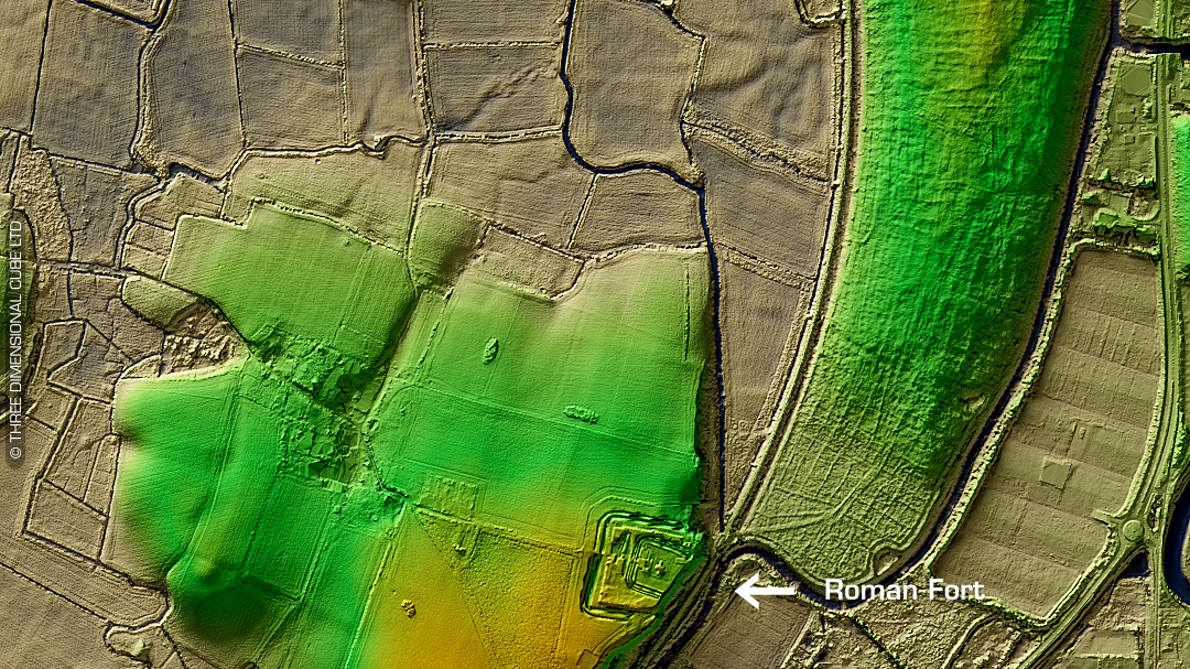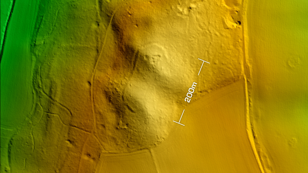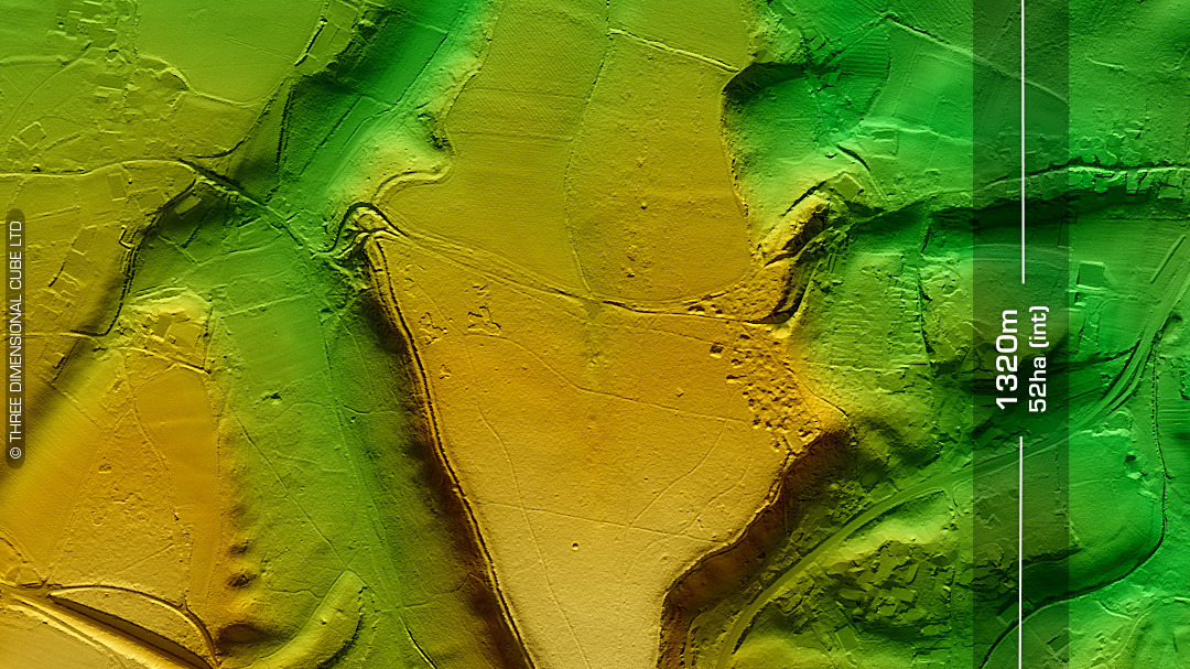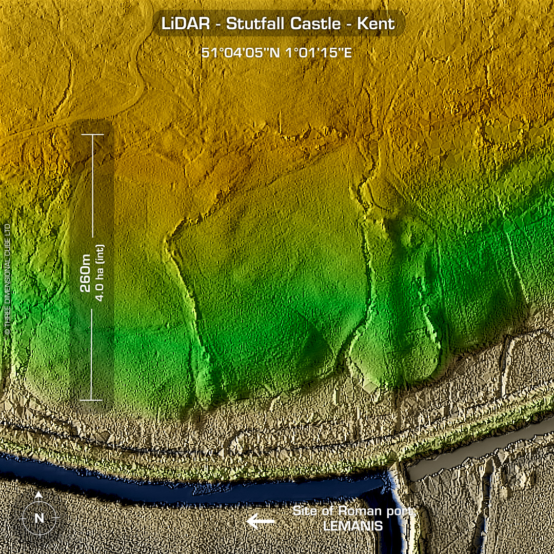
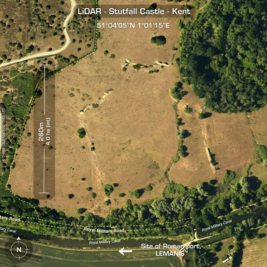
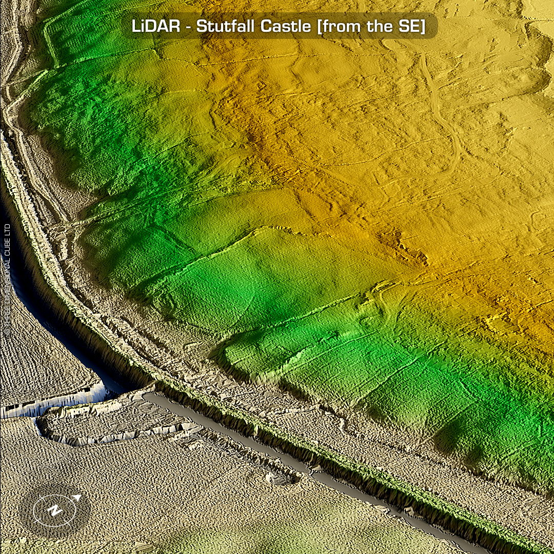
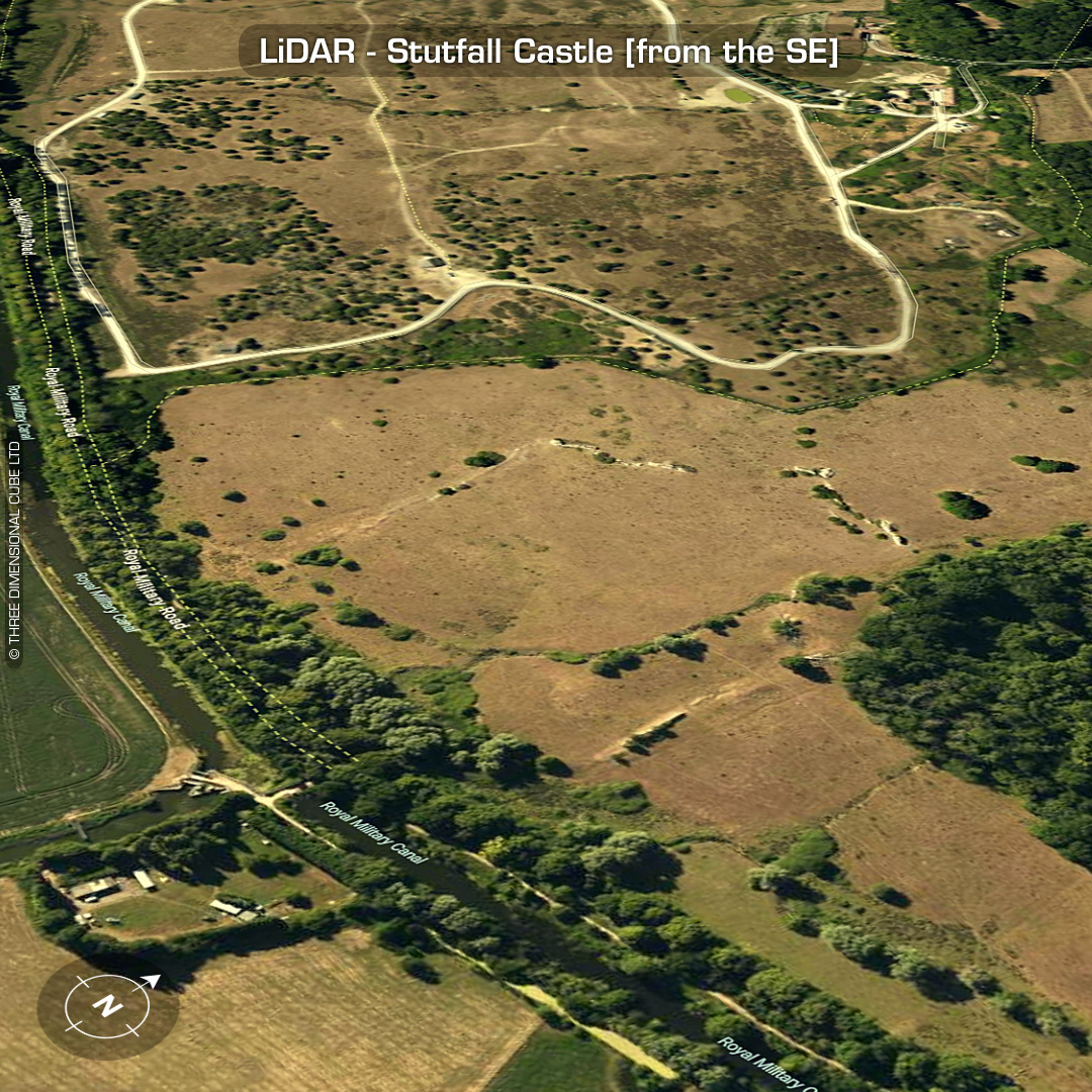
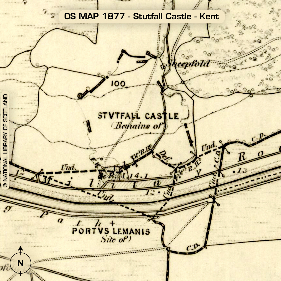
Location: 51°04'05"N 1°01'12"E DTM- (Digital Terrain Model, i.e. No buildings or foliage) Kent HER: TR13 SW5 Just to the west of the village of West Hythe and overlooking the Royal Military Road from the north lies the Roman Port & Fort, Stutfall Castle. A Roman fort of the Saxon Shore. The assumed coastline during Roman times would have allowed the fort at Lympne to protect the entrance of a substantial natural harbour in an area now part of Romney Marsh. It is suggested that the surviving remains belong to a fort of the Saxon Shore and belonging to the period c.AD 270. The fort is sometimes known as Stutfall Castle. The remains were investigated by Charles Roach Smith and more recently by Barry Cunliffe. There is sufficient evidence to suggest that there was earlier occupation with military connotations. This fits well with a mention in the Antonine Itinerary (early 3rd century) of Portus Lemanis. The present fort appears to have been abandoned c.350 on the basis of coin and pottery evidence. (Scheduled Monument) Descriptions from KENT HER. Maps from Google or Bing. Contains public sector information licensed under the Open Government Licence v3.0.