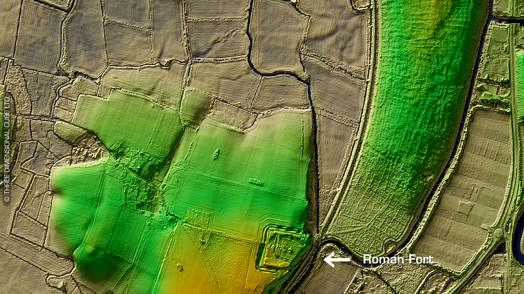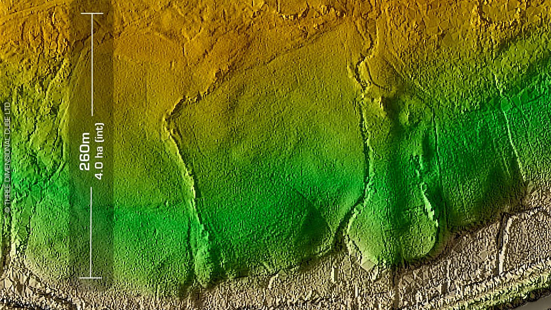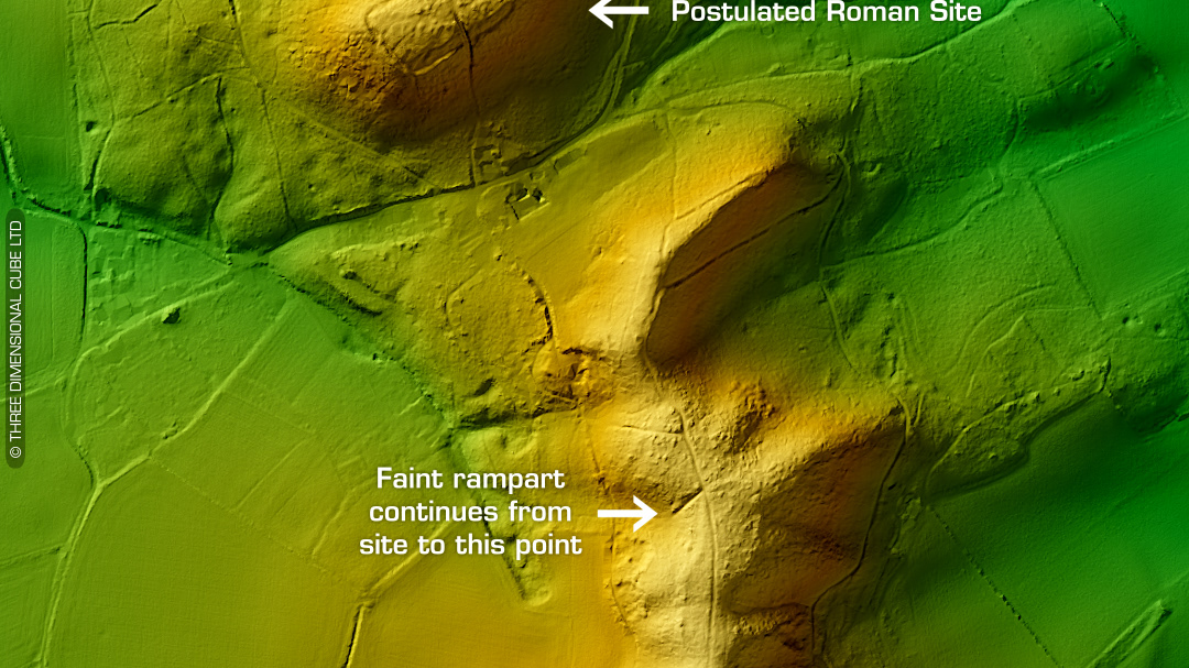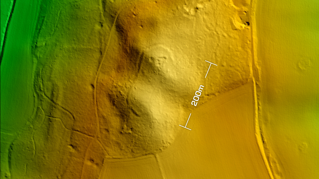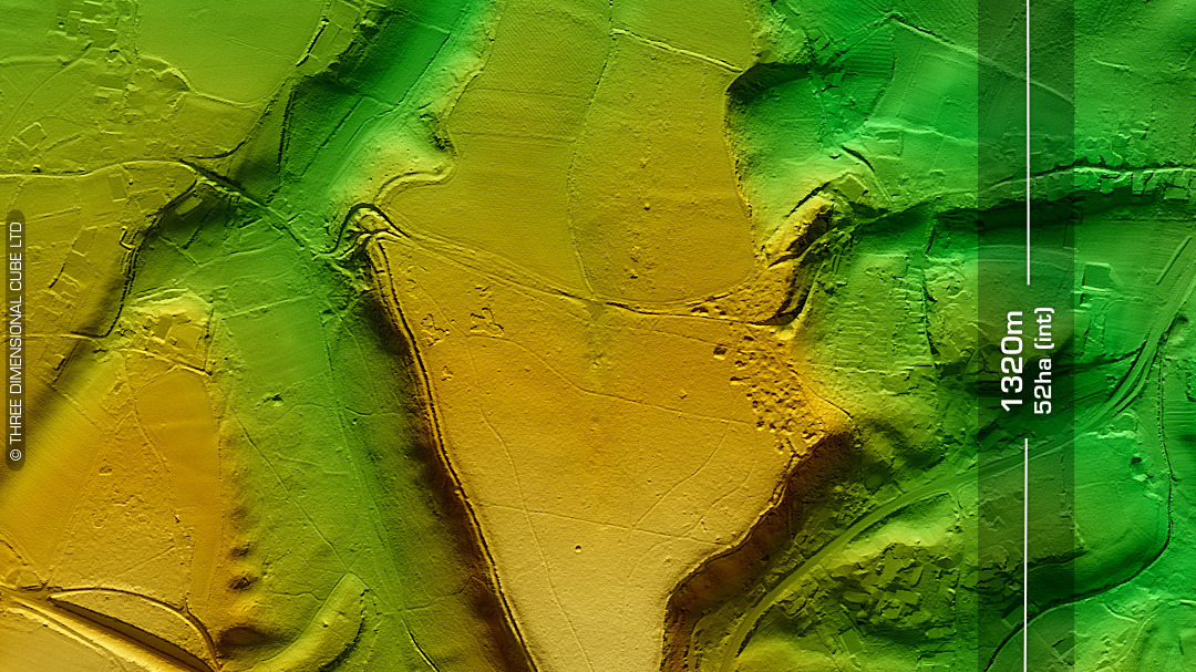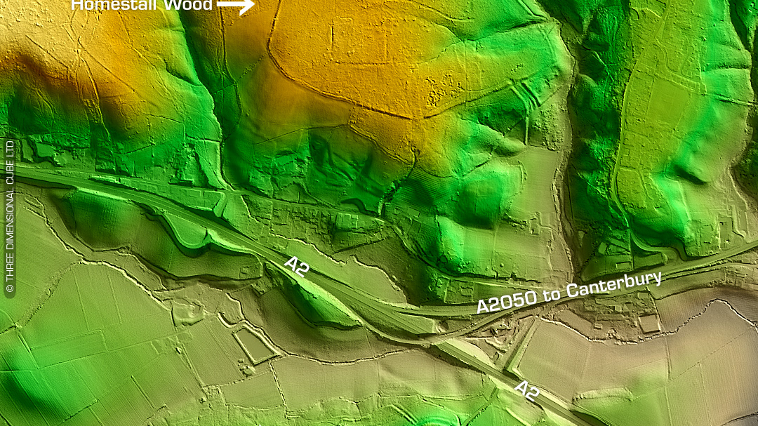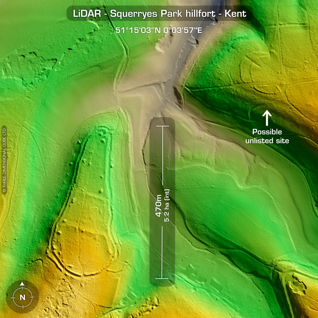
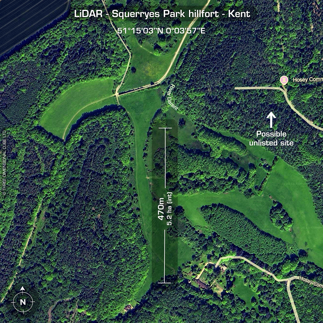
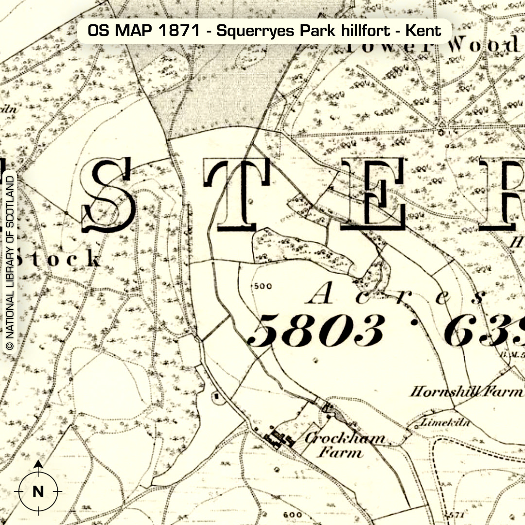
LiDAR – Squerryes Park hillfort – Kent Location: 51°15’03”N 0°03’58”E DTM- (Digital Terrain Model, i.e. No buildings or foliage) Kent HER: TQ45 SW30 Directly south of the village of Westerham within Squerryes Park lies a nice bivallate contour hillfort of the same name. Excavated 1961 by Mrs Piercy Fox and dated to the second B phase of the IA. Mrs. Cotton suggests there may have been two phases to this work. Of the four gaps in the defences probably only two are original, the SW corner & NE corner due to inturns. Excavation in 1961 revealed a bi-vallate system of defence. This was created by throwing spoil upwards from the ditch on the flat isthmus; and, around the headland, a steep scarped slope with ditch and outer bank constructed by throwing spoil downwards from the scarp slope and the ditch. Very few finds were uncovered. Pits under and behind the rampart produced domestic rubbish. This included important groups of pottery and a paste bead. I noticed a possible multivallate IA site NE of Squerryes Park in Tower Wood (indicated). This has gone off for KENT HER for evaluation. (now recorded by Kent HER!) (Scheduled Monument) Descriptions from KENT HER. Maps from Google or Bing. Contains public sector information licensed under the Open Government Licence v3.0.