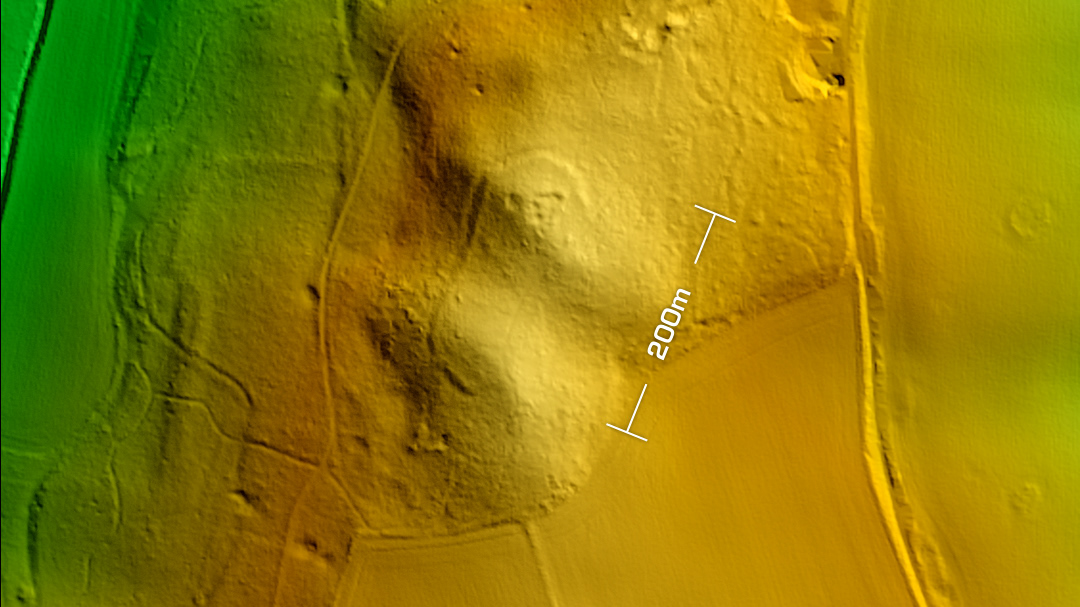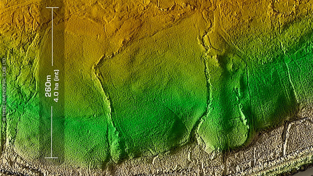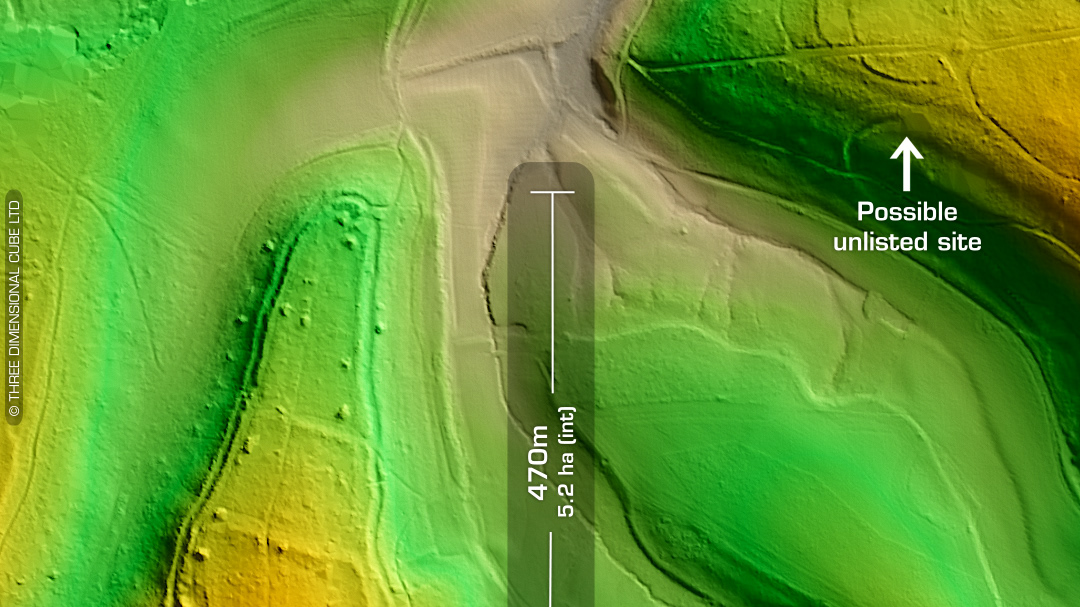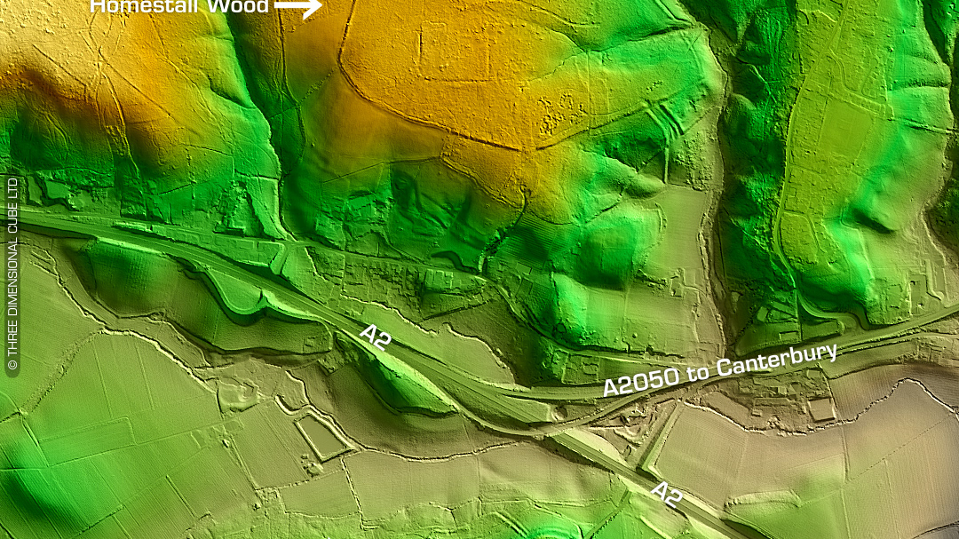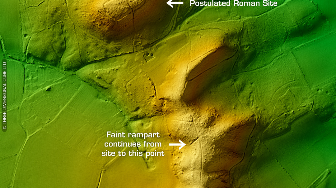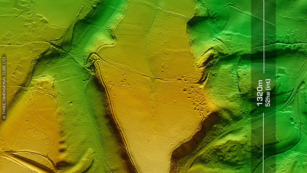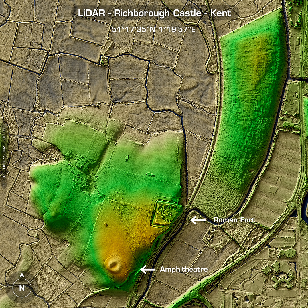
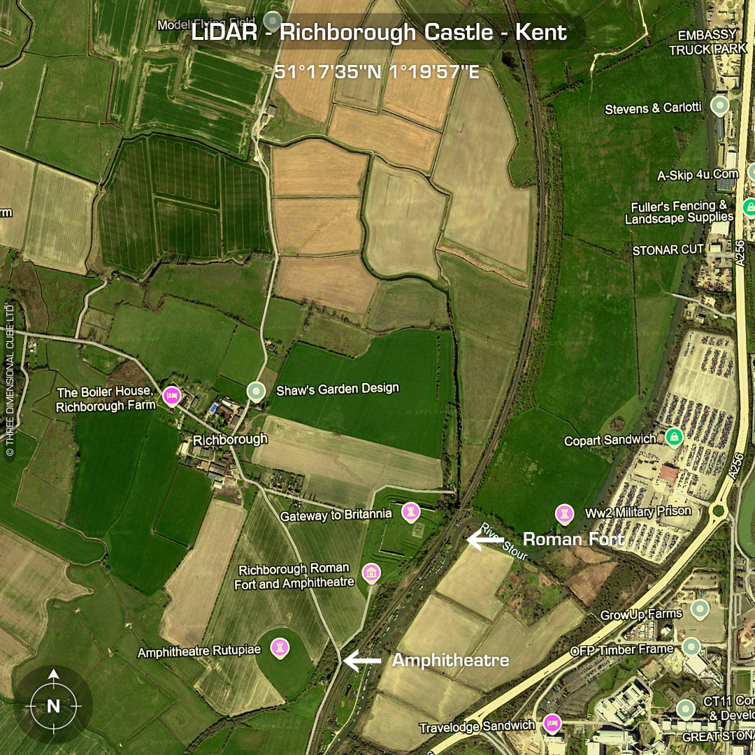
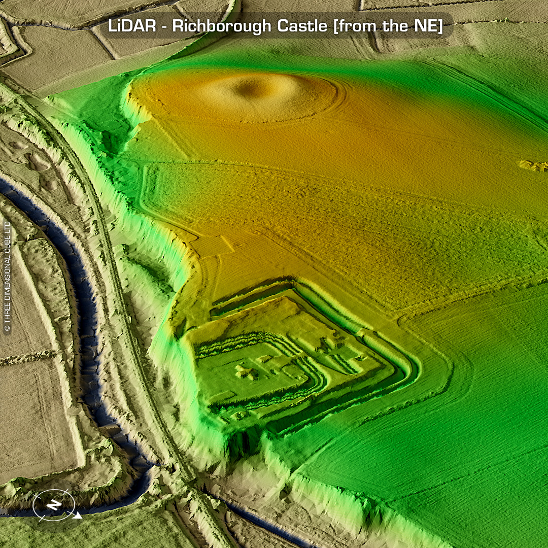
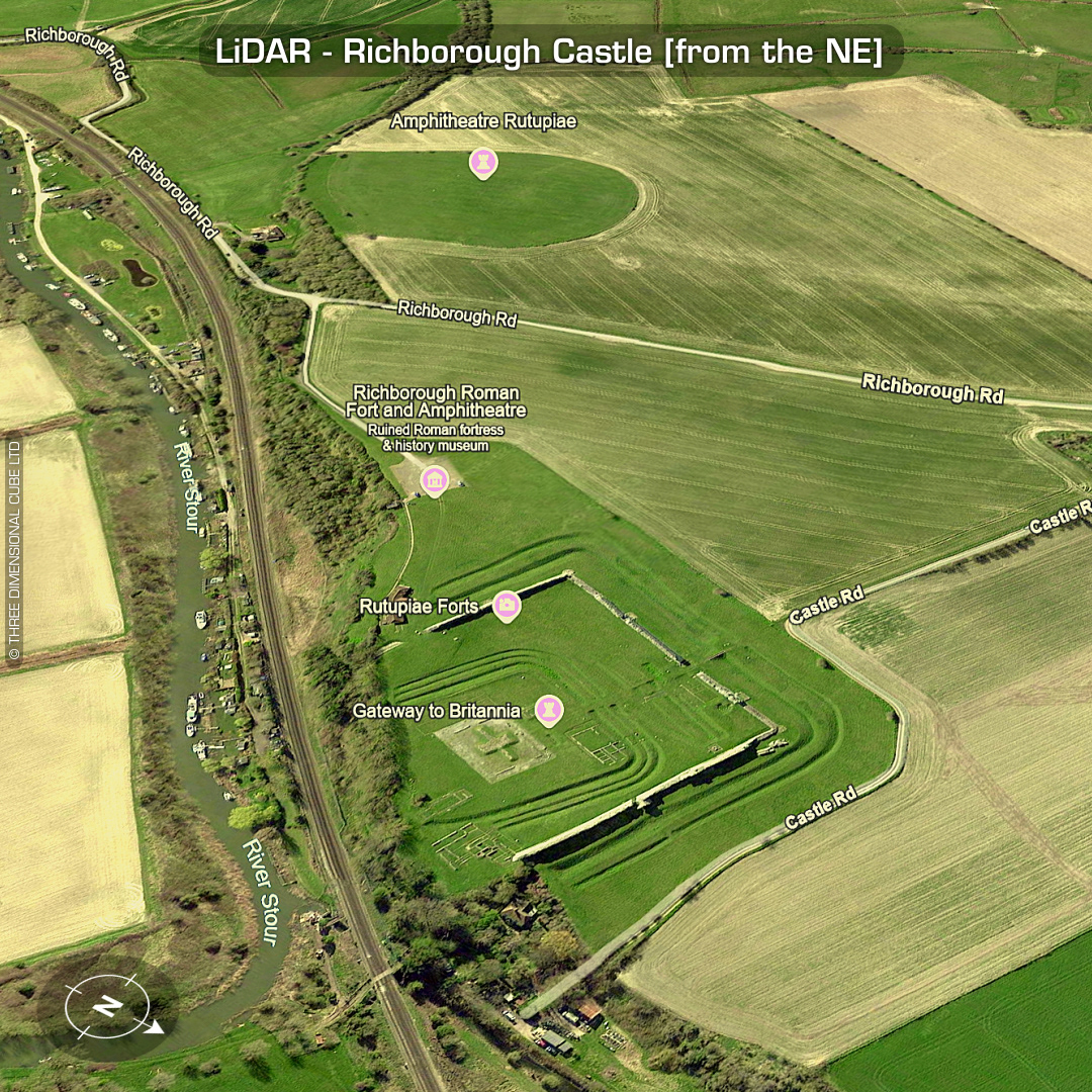
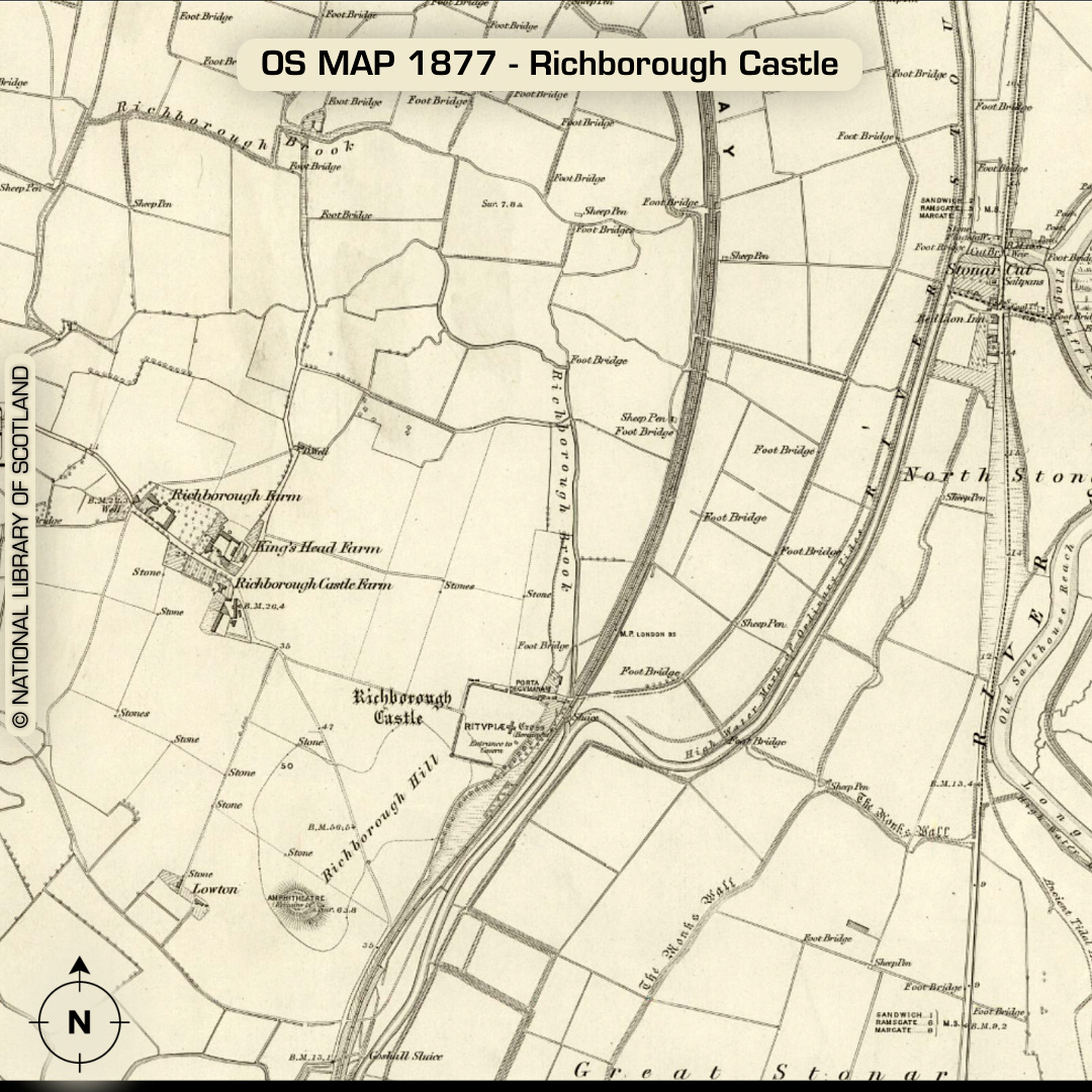
LiDAR – Richborough Castle – Kent Location: 51°17’37”N 1°19’56”E DTM- (Digital Terrain Model, i.e. No buildings or foliage) Kent HER: TR36 SW205 This 40-hectare site encompasses the Roman Fort of Richborough Castle and just to its SW lies the Roman Amphitheatre. I decided to render this visual wider to encompass the low hill it lies on as well as the hill to its east and probably joined by a bridge in antiquity. There may be the remains of a windmill mound at the SW edge of the plateau holding the fort. The right-hand hill held a WW2 military prison as well as a WW1 salvage dump. The proximity to the Roman site as well as its elevated position may require investigation as it would be an idea annex for the Roman civilian population supporting the nearby port (known as Rutupiae). There are pages & pages of information regarding this site, so I’ll leave that up to you to explore! ‘The fort fell into disuse during the later fifth and sixth centuries. In later years, a small chapel of pilgrimage dedicated to St Augustine, who is believed to have landed at nearby Ebbsfleet in c.597 AD and is credited with reintroducing Christianity into pagan Saxon England, was constructed just to the east of the site of the earlier great monument, probably during the seventh century. ‘ -Kent HER (Scheduled Monuments) Descriptions from The Atlas of Hillforts. Maps from Google. Contains public sector information licensed under the Open Government Licence v3.0.