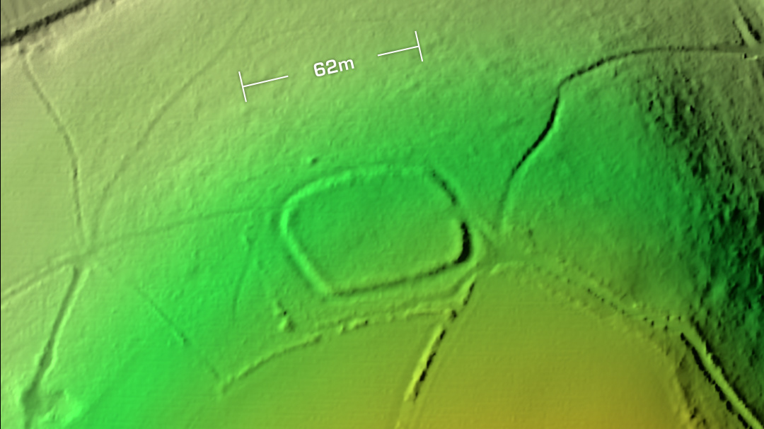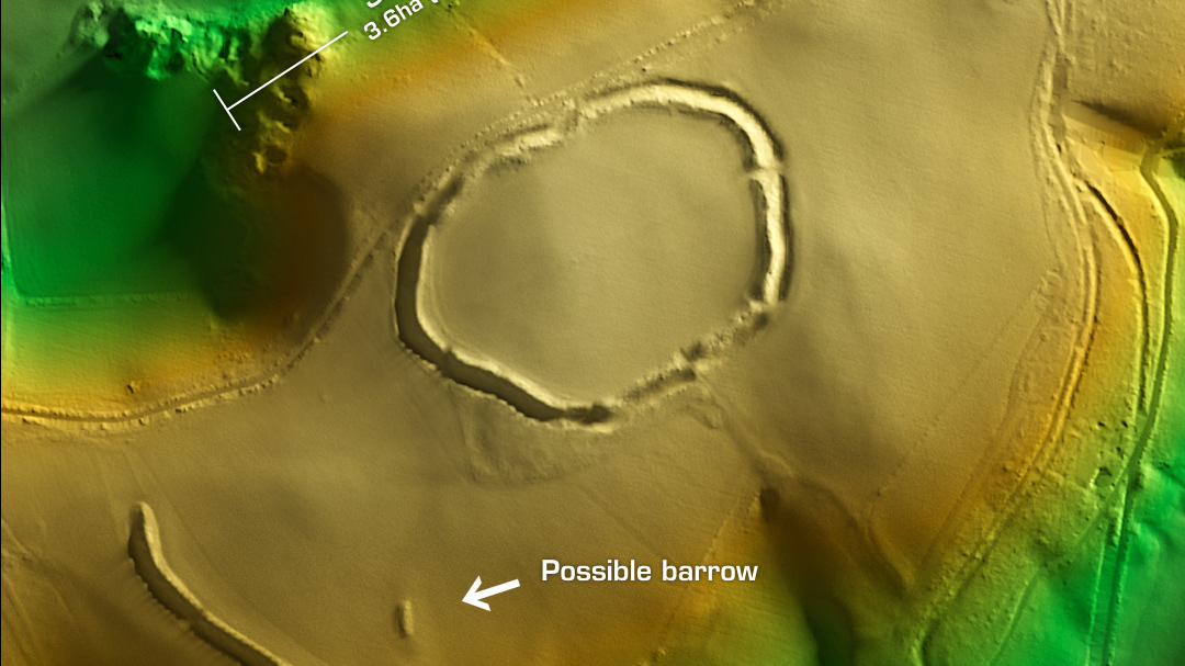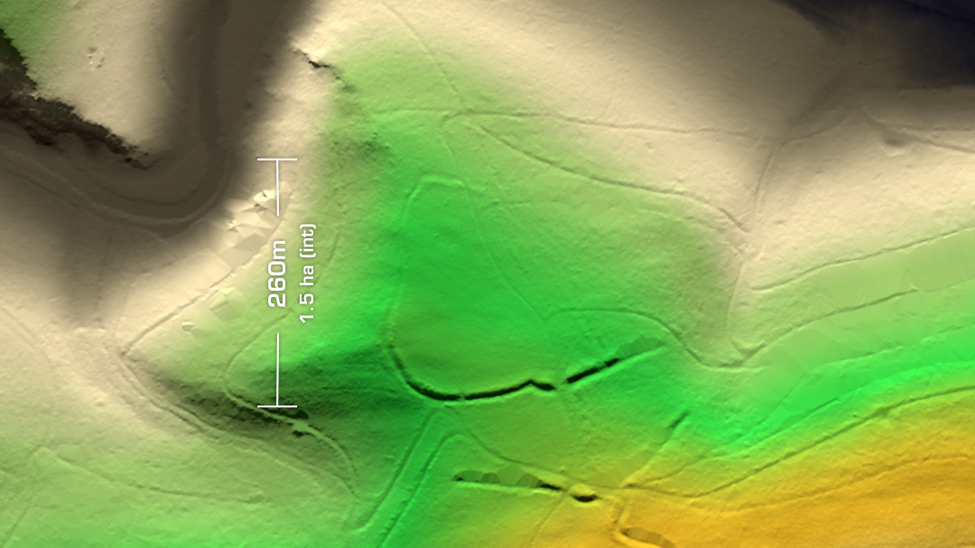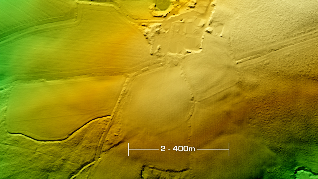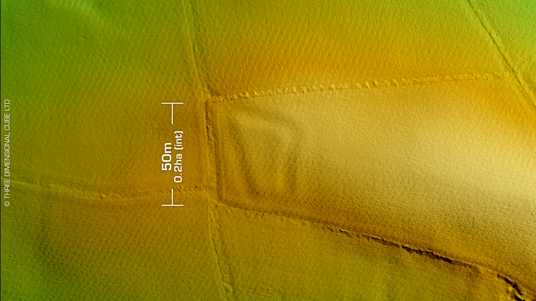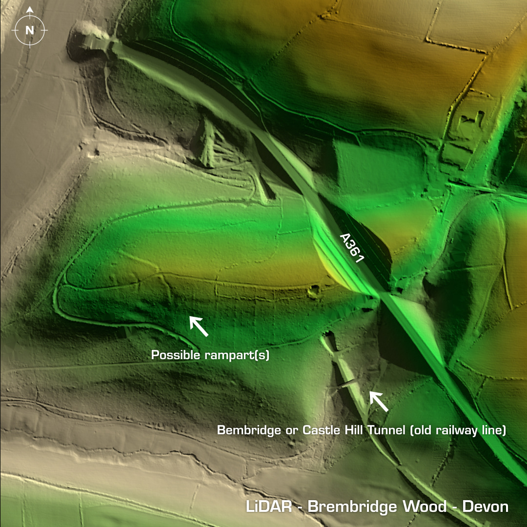
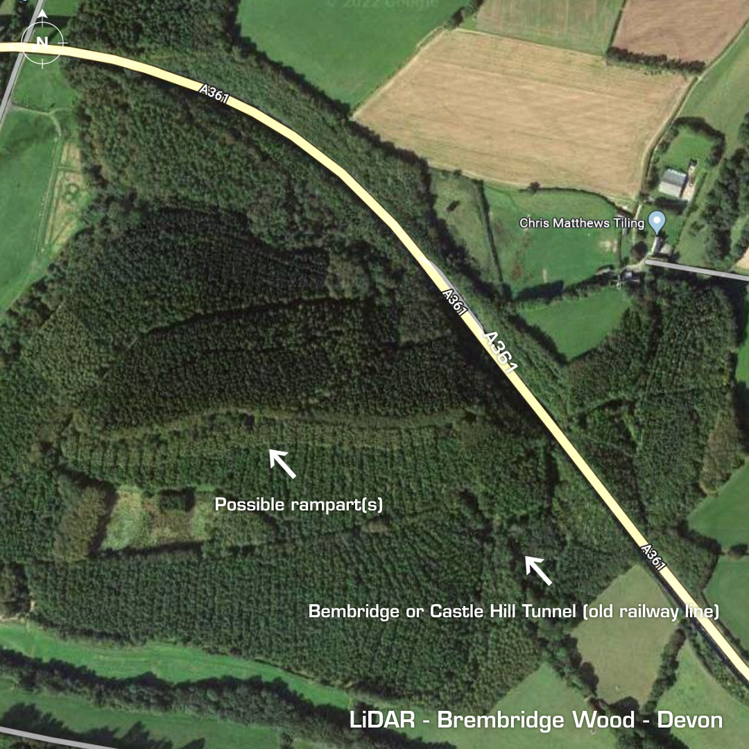
DTM- (Digital Terrain Model, i.e. No buildings or foliage) Three kilometres to the northwest of South Moulton & bisected by the A361 lies the possible inland promontory fort, Bembridge Wood. Suggested by Lady (Aileen) Fox as a possible site in 1964. The whole area around the site is Grade 1 listed under: Castle Hill Park & Garden. The LiDAR resolves three possible rampart-like structures bisected by the summit path. Interestingly, an old railway line tunnel entrance & exit was revealed on the LiDAR. Iron Age tribal association (conjecture based on location): Dumnonii (Un-scheduled Monument) [Any descriptive text is attributed to the Atlas of Hillforts & Wikipedia websites and any associated archaeological descriptions online which will be credited accordingly.]