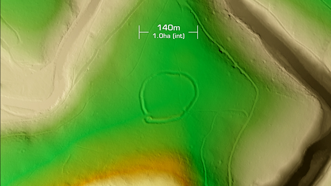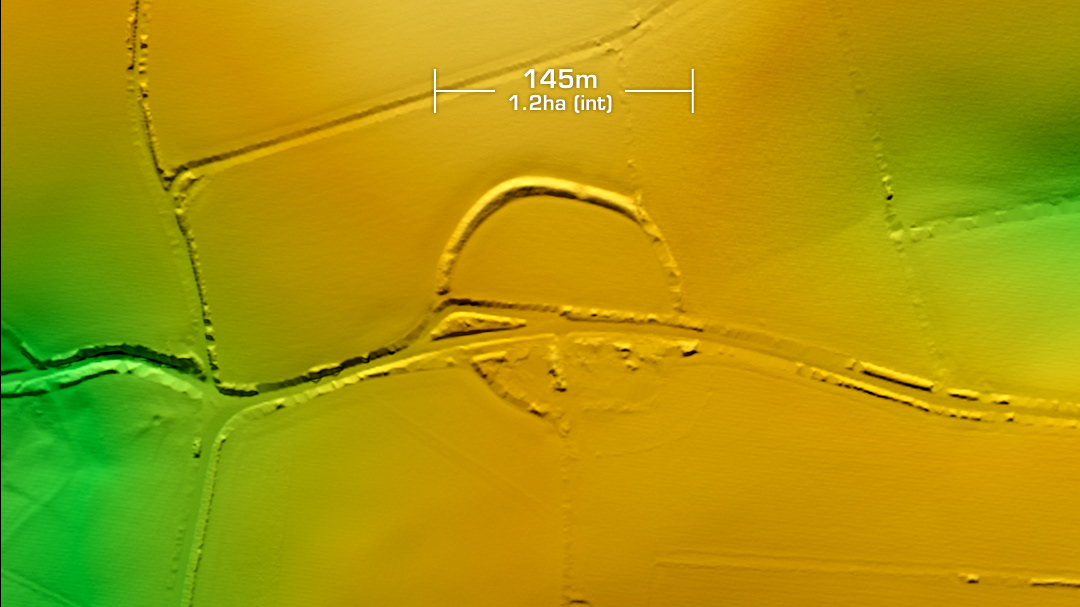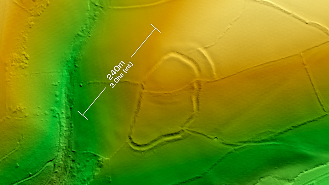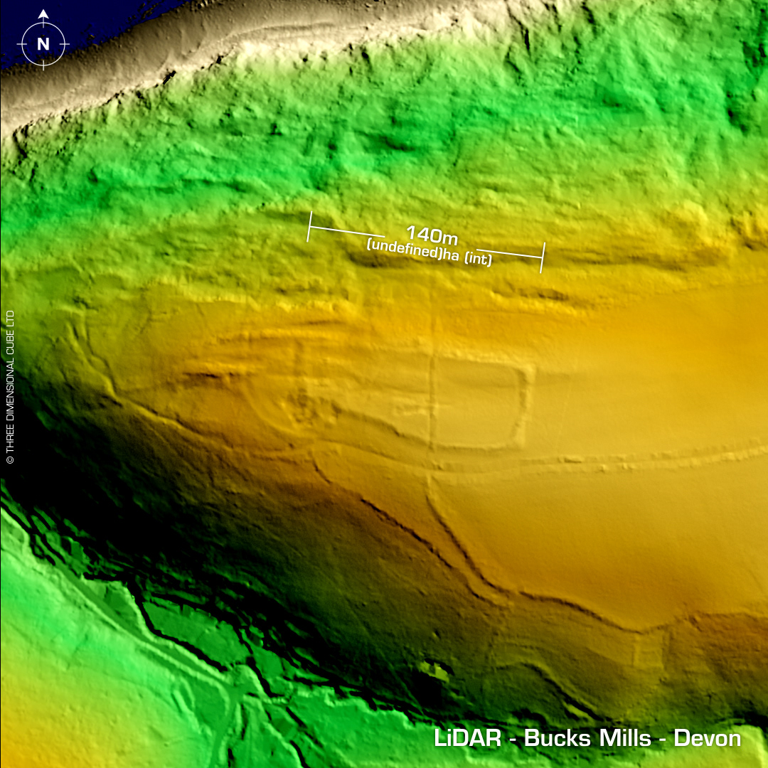
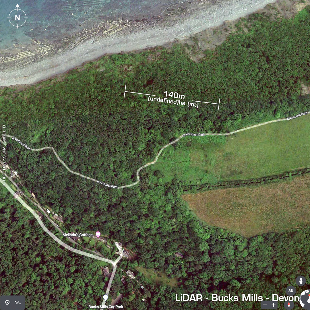
DTM- (Digital Terrain Model, i.e. No buildings or foliage) Overlooking the bay on the cliff tops to the west of Peppercombe Beach lies the inland promontory fort, Bucks Mills. Well, technically it’s unnamed as the site hasn’t been classified yet. Quarry diggings at west end. Site investigation in 2011. Interpreted in 1906 as an enclosure site. On 1st Ed. OS map 1886. No subsequent excavations or finds recorded. Iron Age tribal association (conjecture based on location): Dumnonii (Scheduled Monument) [Any descriptive text is attributed to the Atlas of Hillforts & Historic England websites]