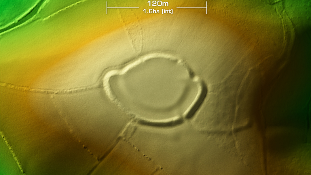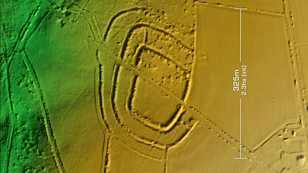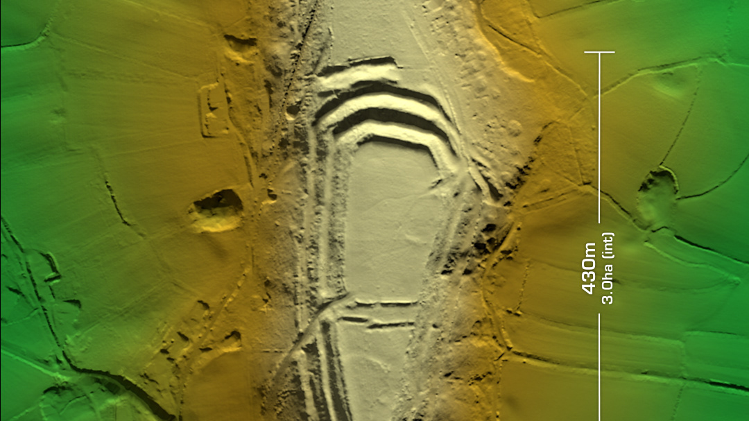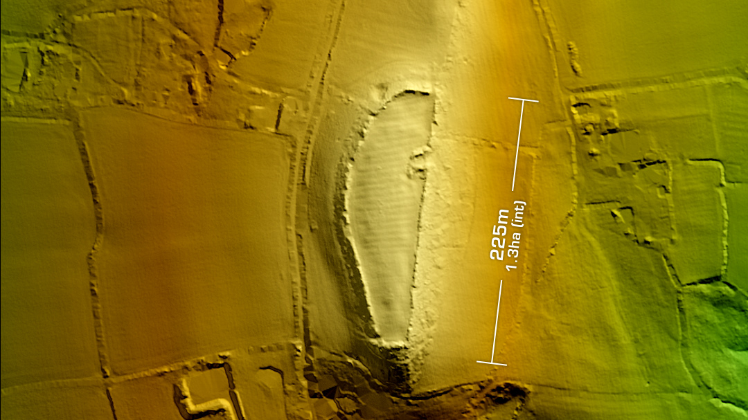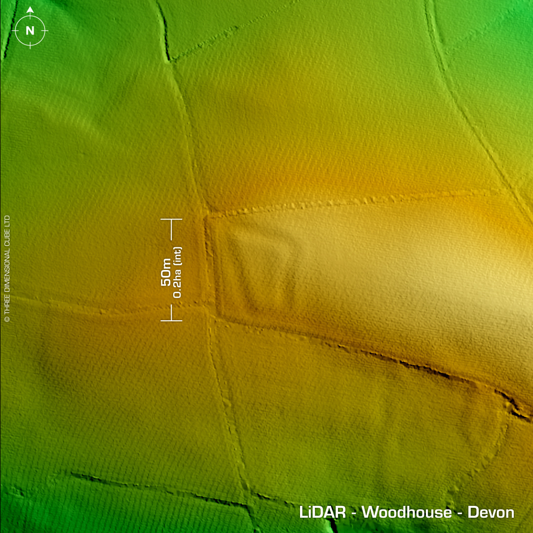
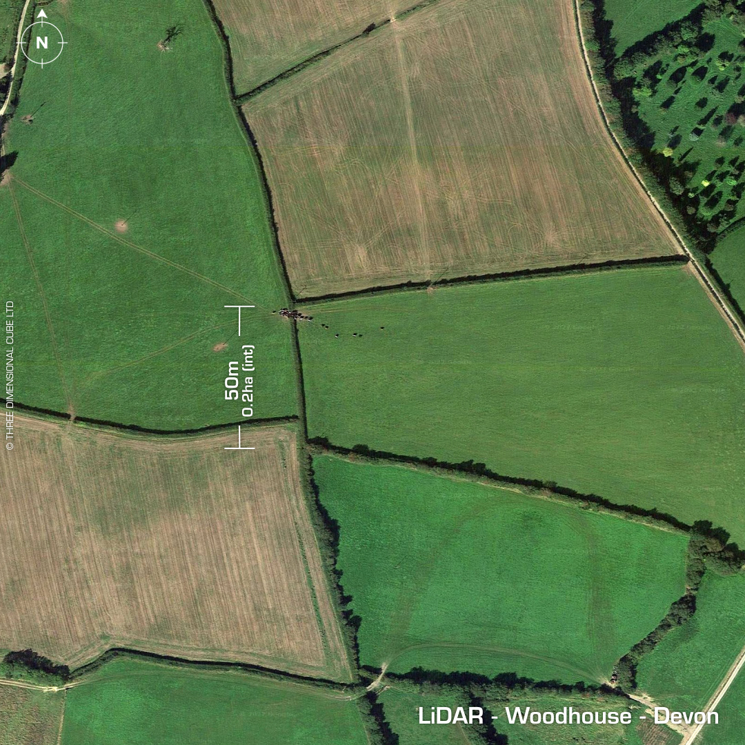
DTM- (Digital Terrain Model, i.e. No buildings or foliage) In between George Nympton and Alswear and hidden beneath fields lies the almost destroyed polygonal univallate hillslope fort, Woodhouse. NW corner site of possible tower/minor baronial castle so hillfort interpretation is still under question. First written reference in 1906. Last field investigation 1995. No recorded excavations or finds, hence undated. Iron Age tribal association (conjecture based on location): Dumnonii (Scheduled Monument) [Any descriptive text is attributed to the Atlas of Hillforts & Historic England websites]