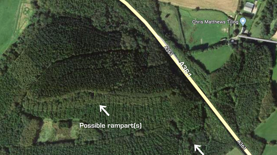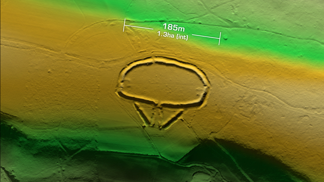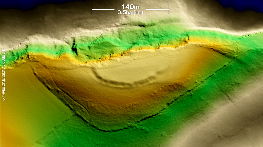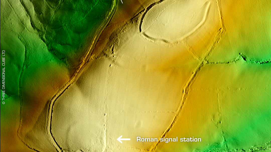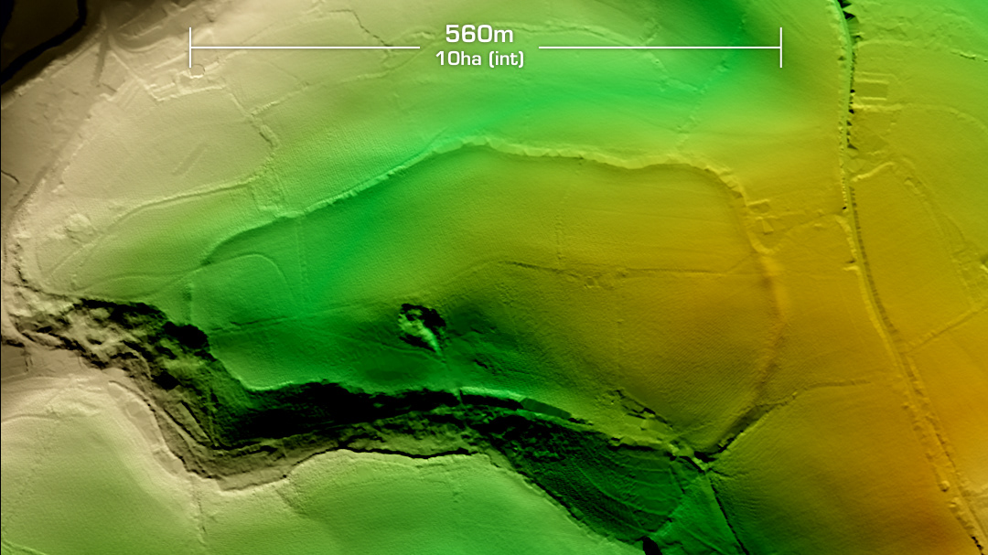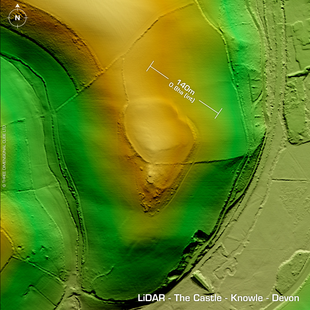
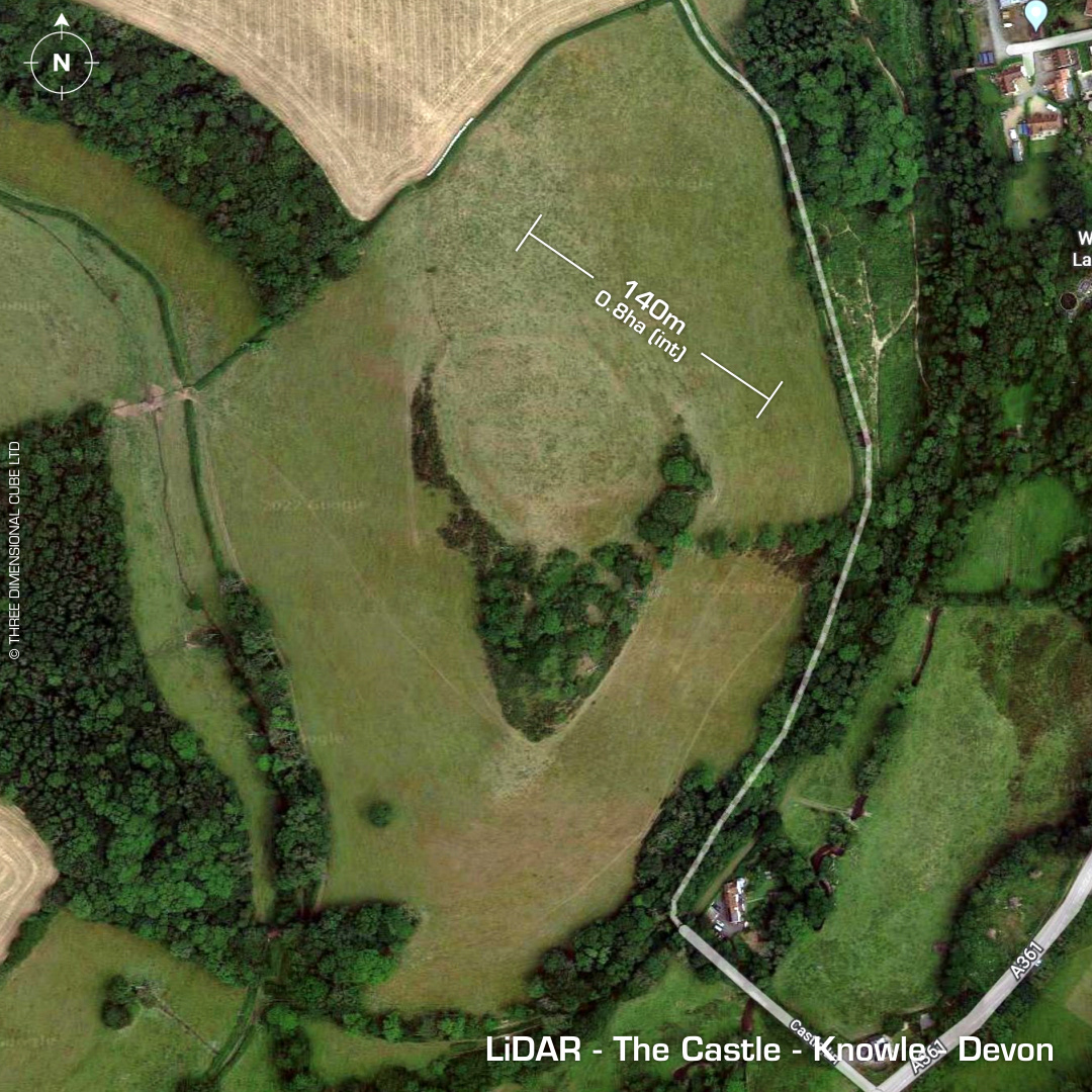
DTM- (Digital Terrain Model, i.e. No buildings or foliage) To the north of Braunton & overlooking Knowle to the west lies the partial contour hillfort, The Castle. Heavily degraded by ploughing & 19th century platform. Full geophys survey in 2009. Listed in Magna Britannia in 1822. No subsequent excavations or finds recorded. Iron Age tribal association (conjecture based on location): Dumnonii (Scheduled Monument) [Any descriptive text is attributed to the Atlas of Hillforts & Historic England websites]