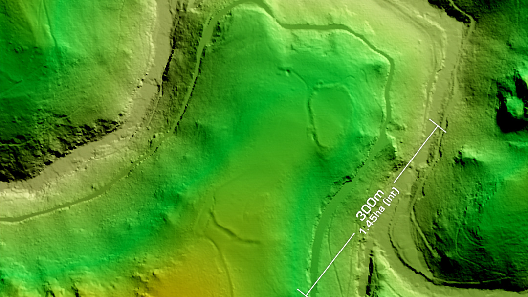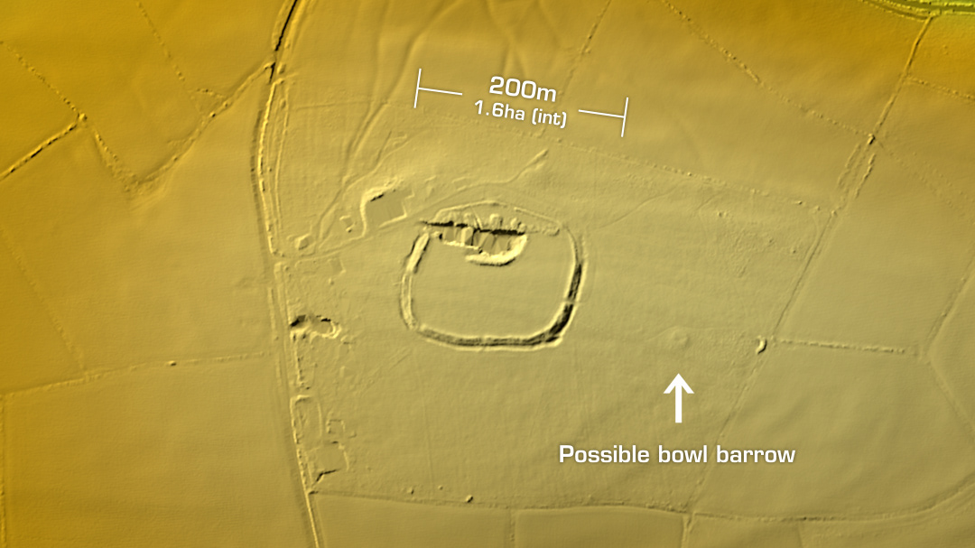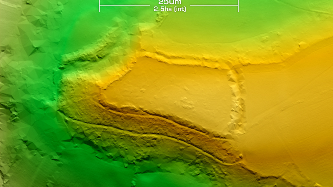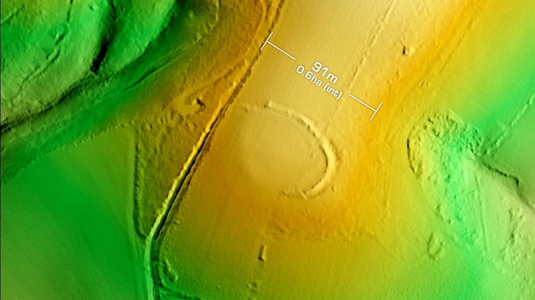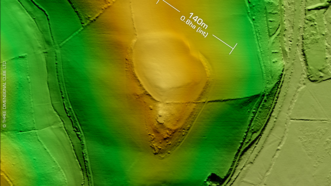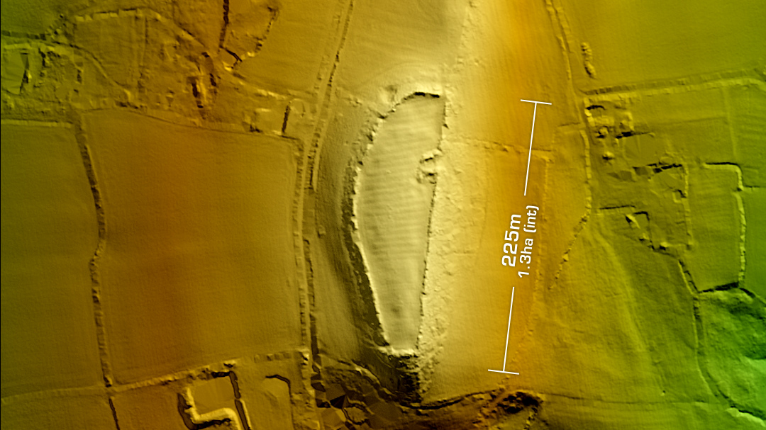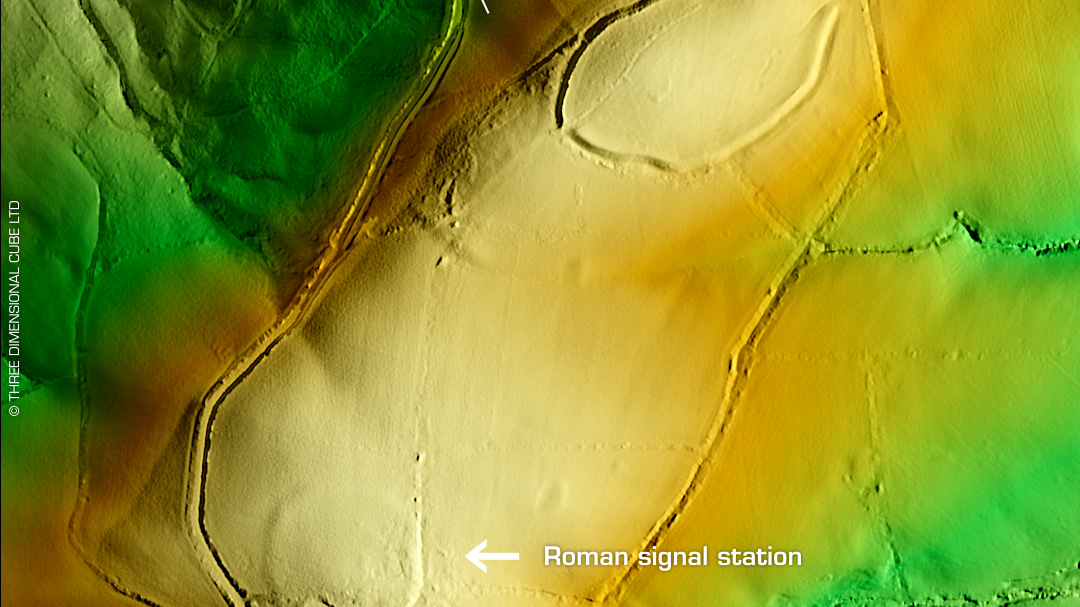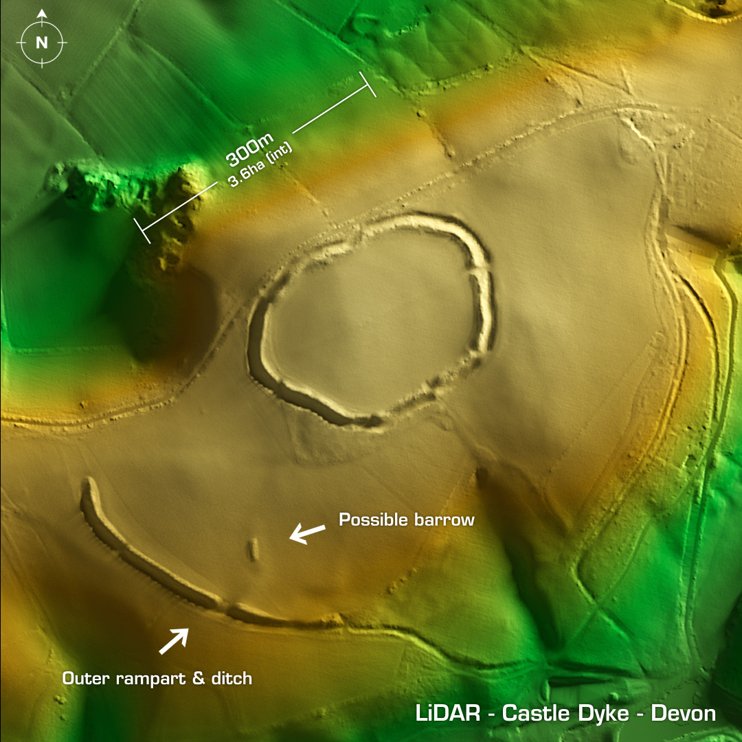
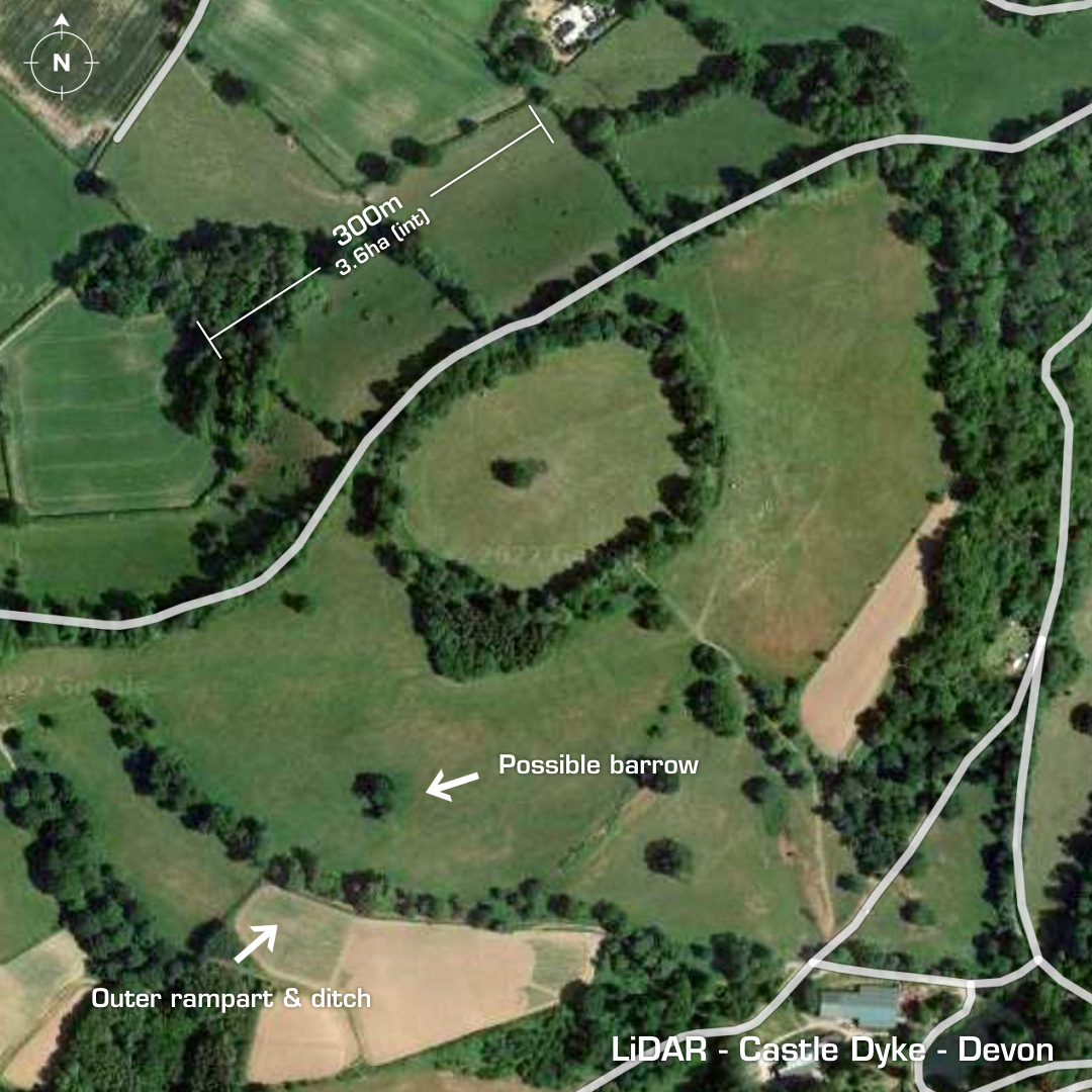
DTM- (Digital Terrain Model, i.e. No buildings or foliage) Overlooking Chudleigh to the southeast and ringed by trees lies the univallate contour hillfort, Castle Dyke. Huge rampart & ditch to the SW enclosing 5.7ha. Possible embanked entrance. First recorded in 1889. Scheduled since 1933. First excavated in the 1960’s but details lost. Ariel survey indicates enclosures between hillfort & outer embankment via cropmarks. Iron Age tribal association (conjecture based on location): Dumnonii (Scheduled Monument) [Any descriptive text is attributed to the Atlas of Hillforts & Historic England websites and any associated archaeological descriptions online which will be credited accordingly.]