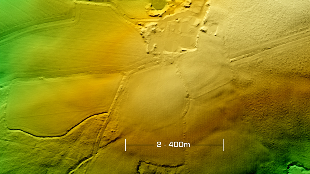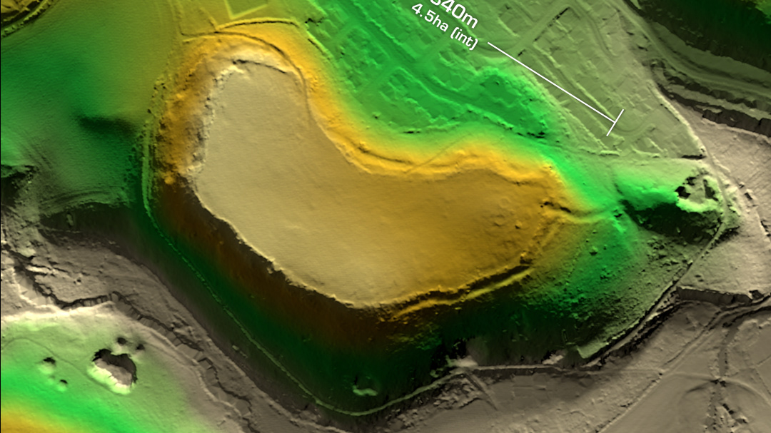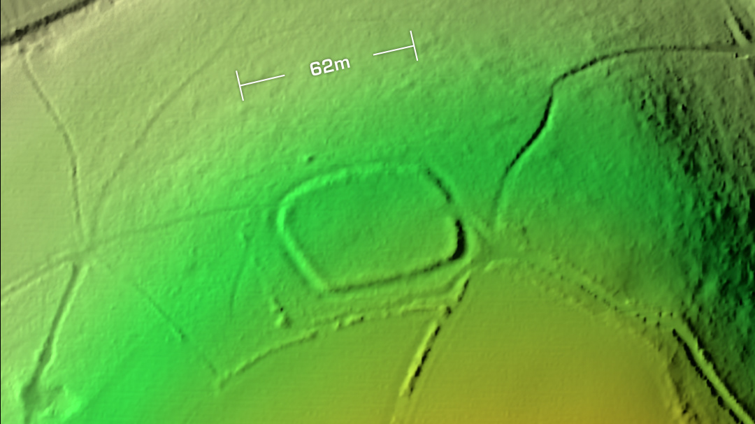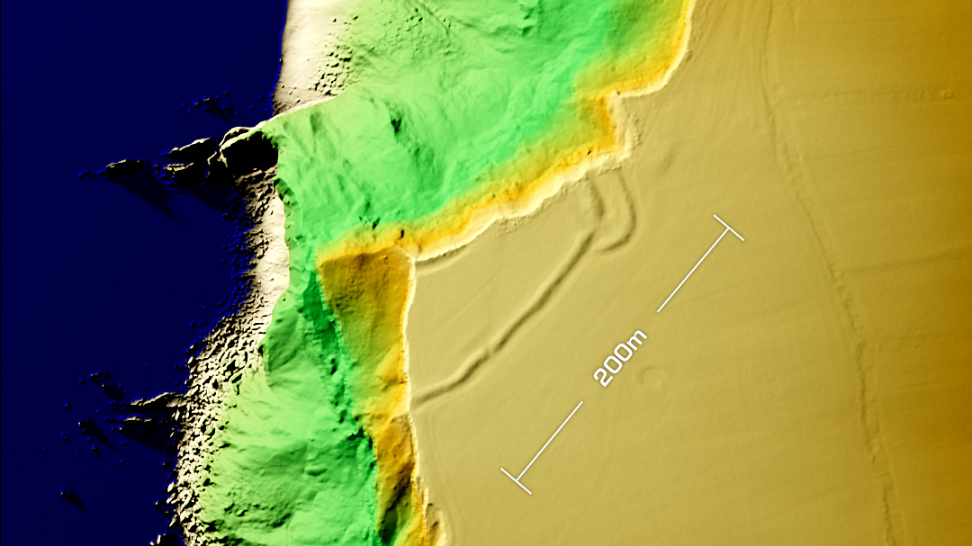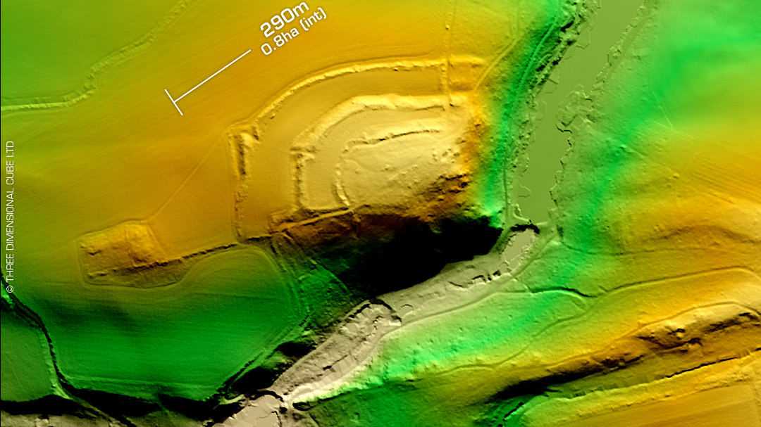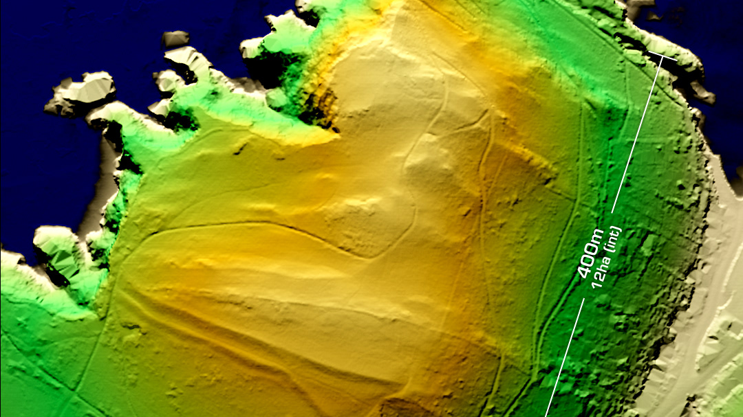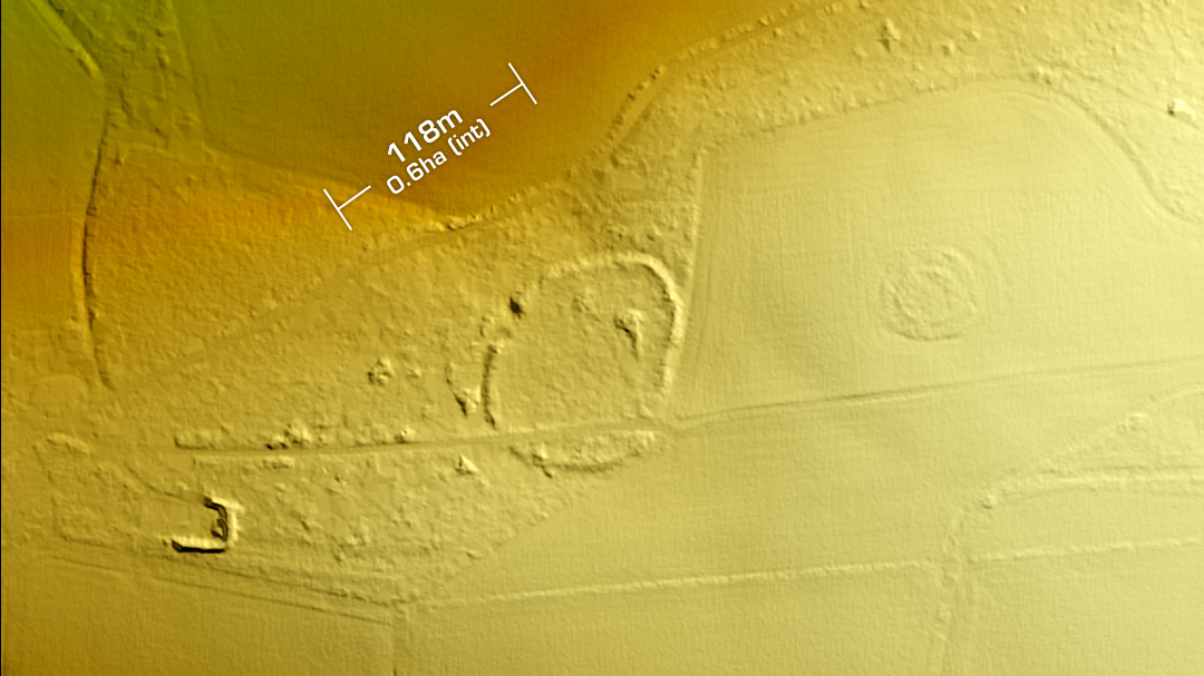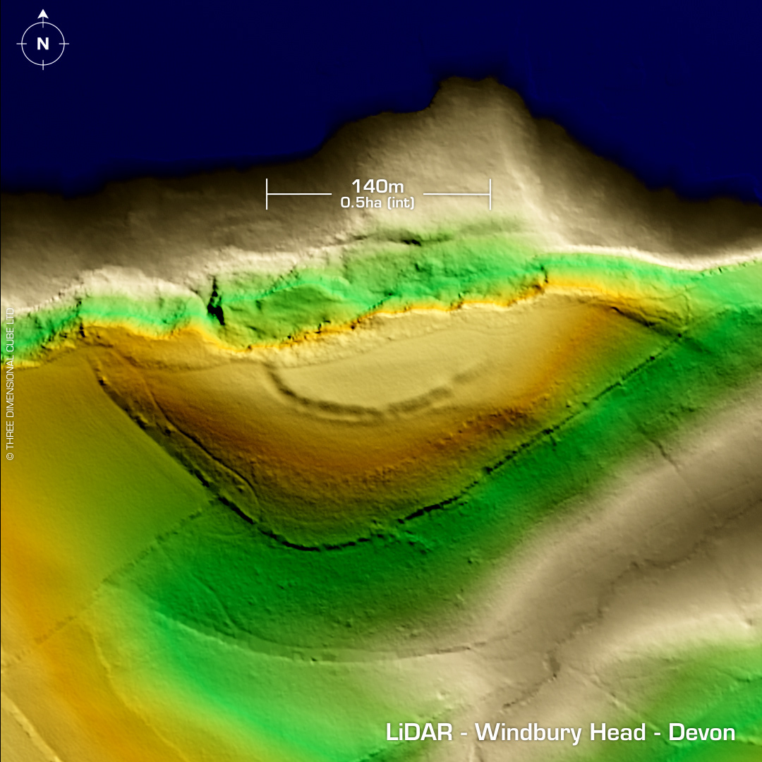
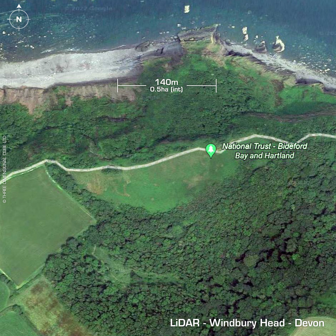
DTM- (Digital Terrain Model, i.e. No buildings or foliage) Within the National Trust – Bideford Bay and Hartland site lies the eroded remains of the contour hillfort, Windbury Head. On Tithe Map of 1842. On 1st Ed. OS Map 1886. Site survey in 1969. No subsequent excavations or finds recorded. Iron Age tribal association (conjecture based on location): Dumnonii (Scheduled Monument) [Any descriptive text is attributed to the Atlas of Hillforts & Historic England websites]