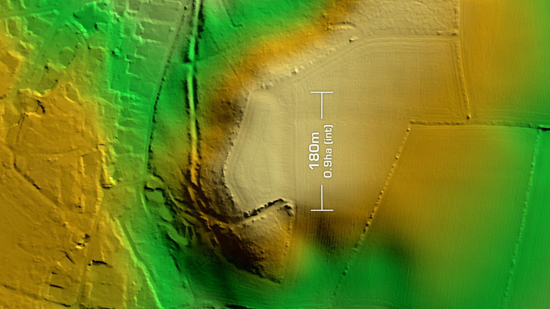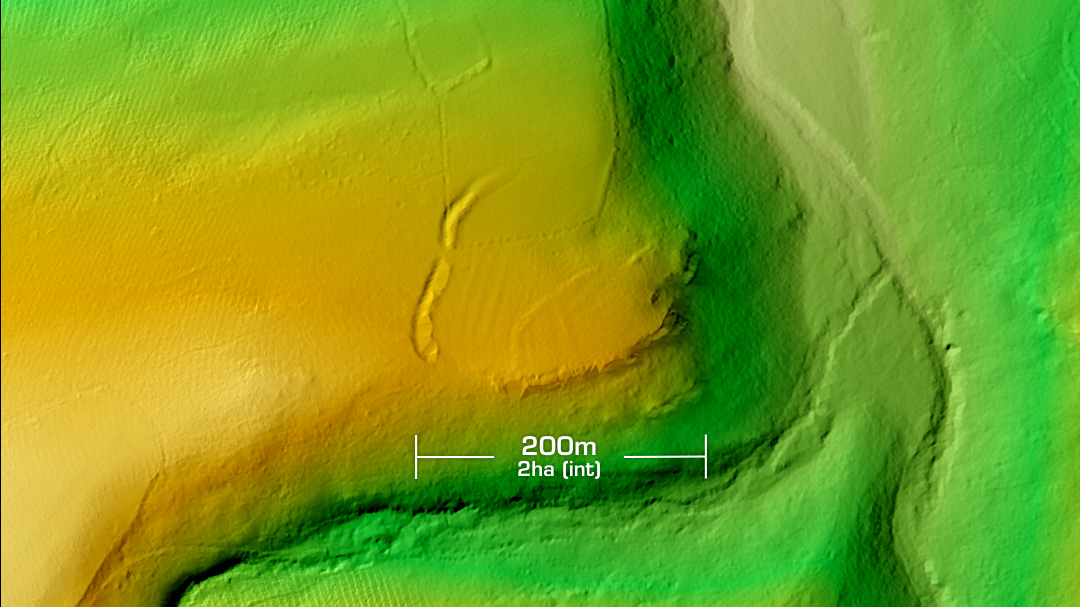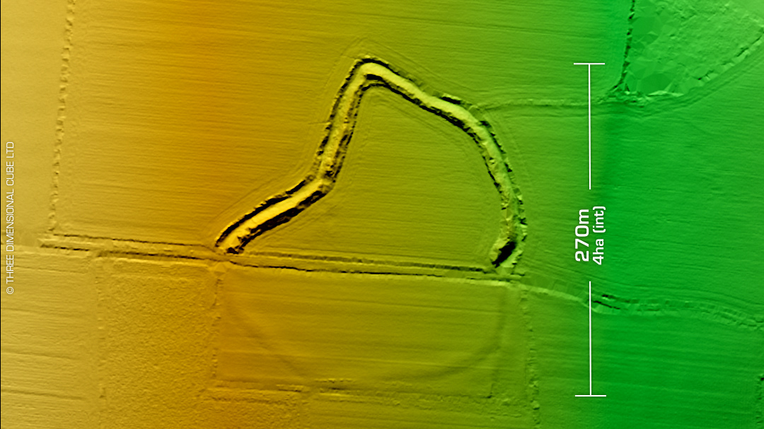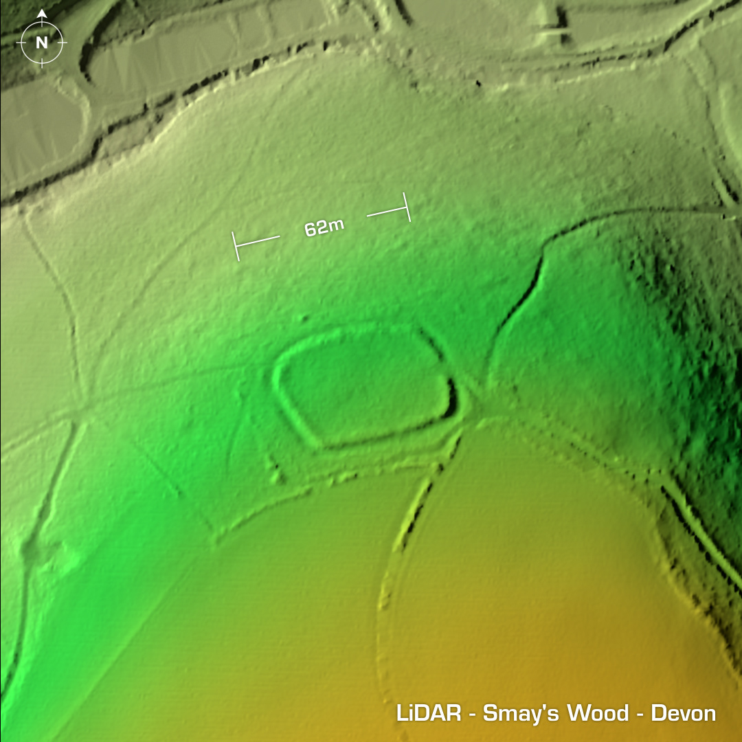
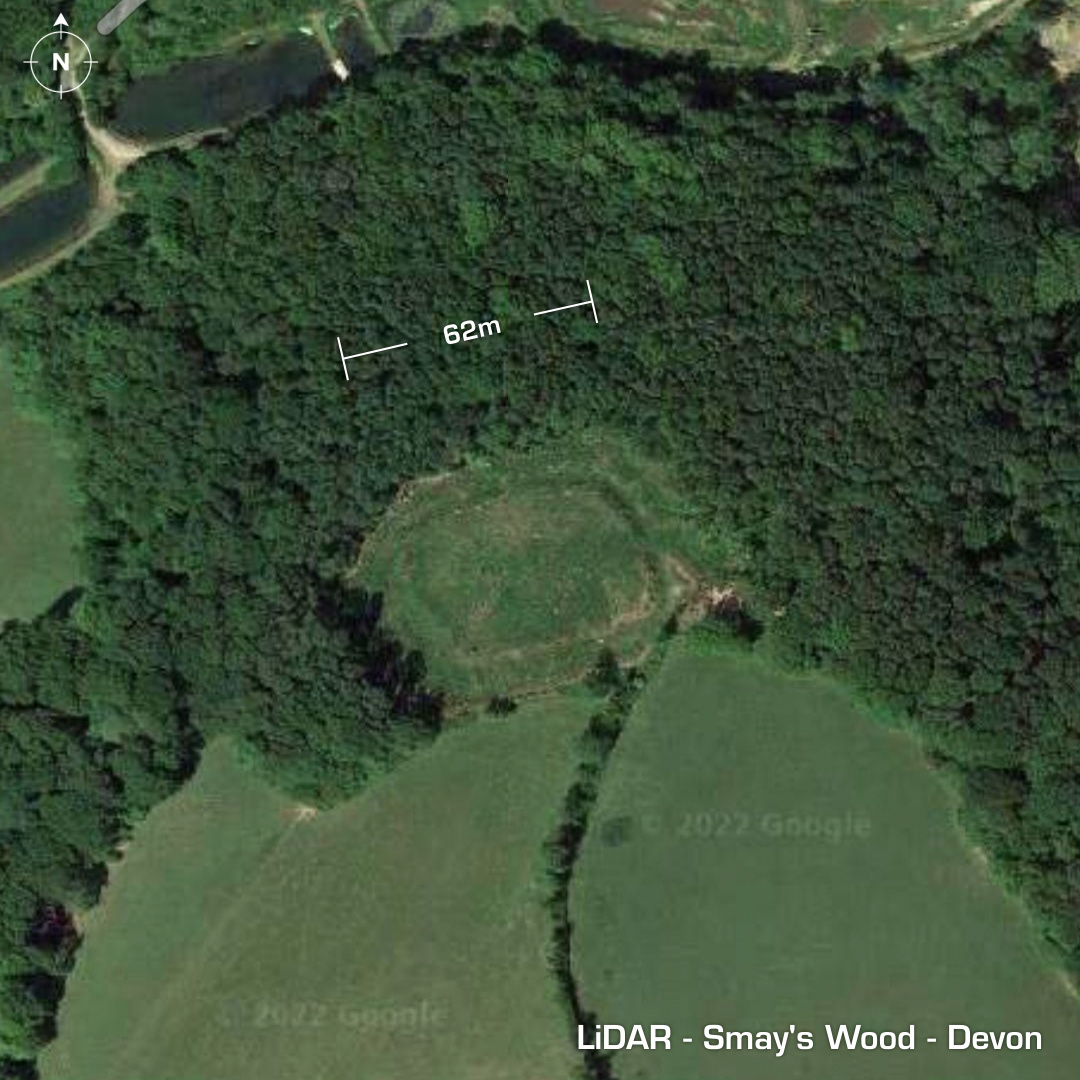
DTM- (Digital Terrain Model, i.e. No buildings or foliage) In between Chelfham and Stoke Rivers within Smay’s Wood lies a scheduled Iron Age ‘defended settlement’. As its not listed as a bona fide hillfort it’s not on the Atlas of Hillforts site. Overlooking the River Yeo this single rampart & buried ditch structure has, according to Historic England, ‘several terraced platforms representing hut site locations’. These don’t reveal themselves on the LiDAR so some form of unrecorded excavations must have taken place to ascertain those features. Iron Age tribal association (conjecture based on location): Dumnonii (Scheduled Monument) [Any descriptive text is attributed to the Historic England website]