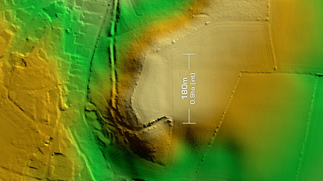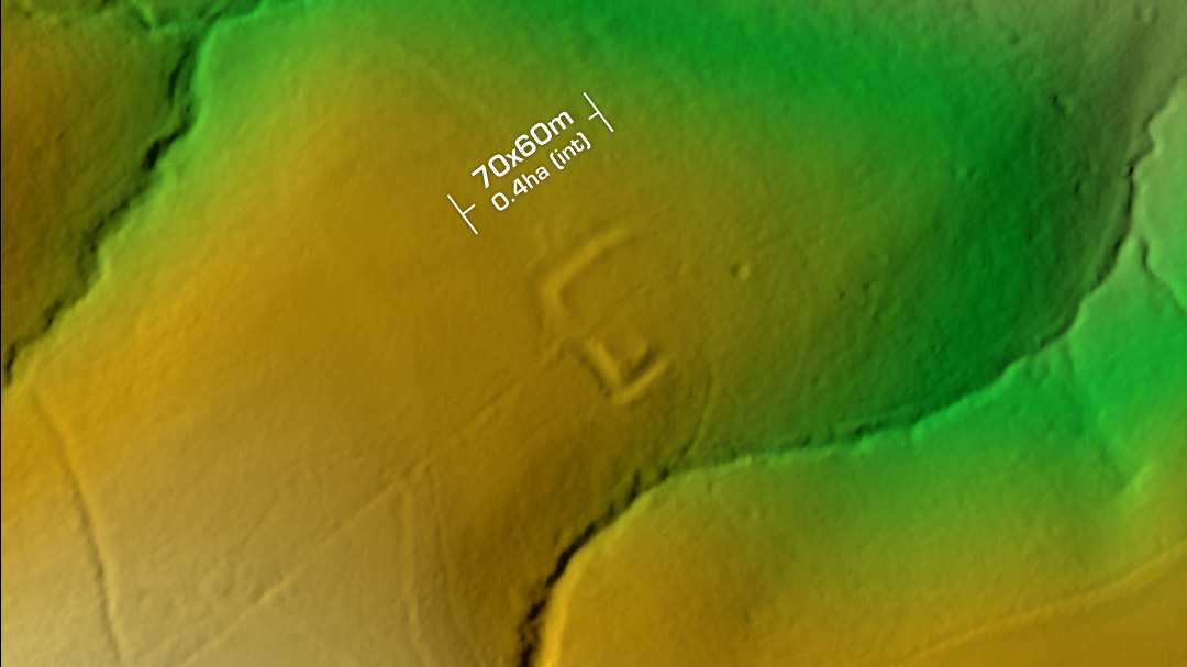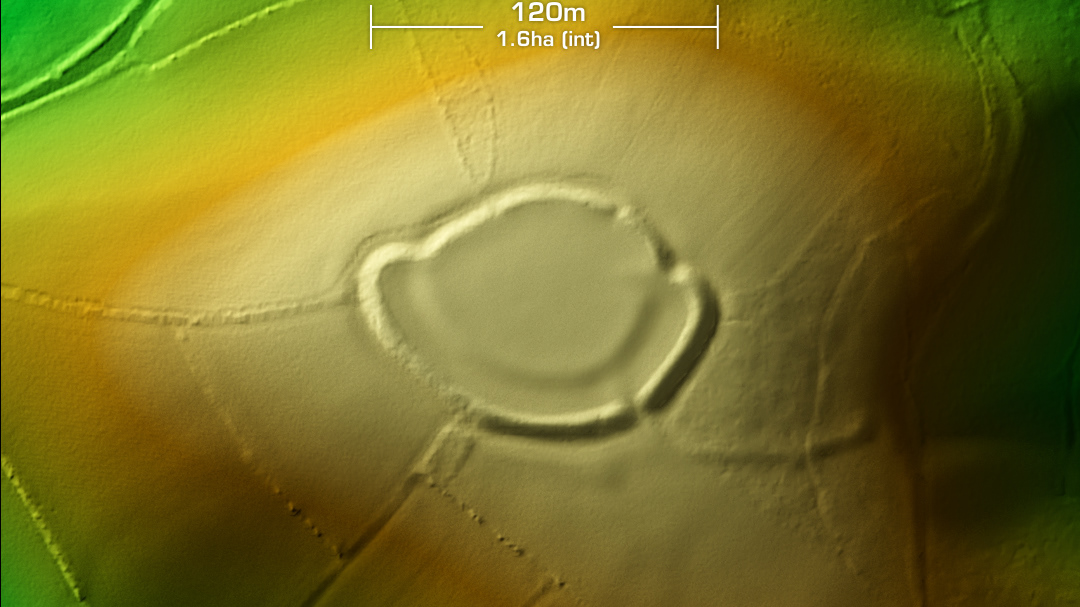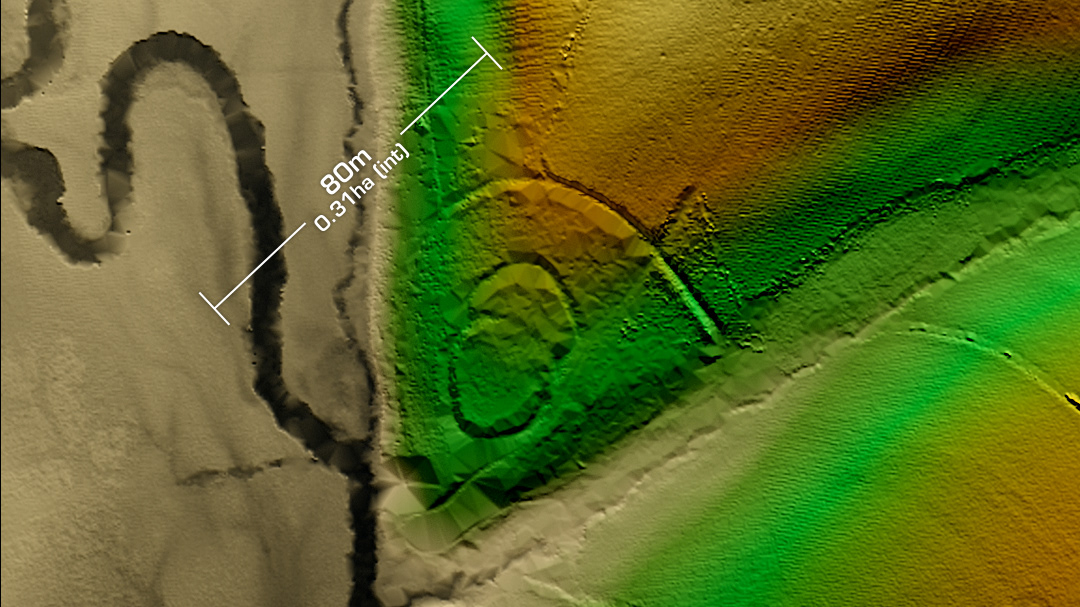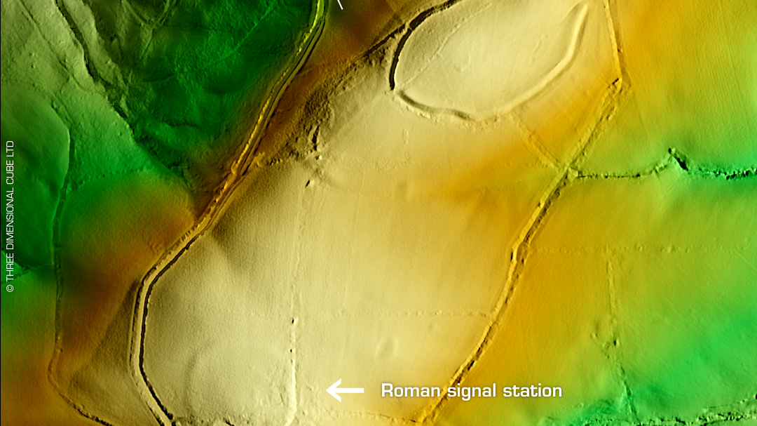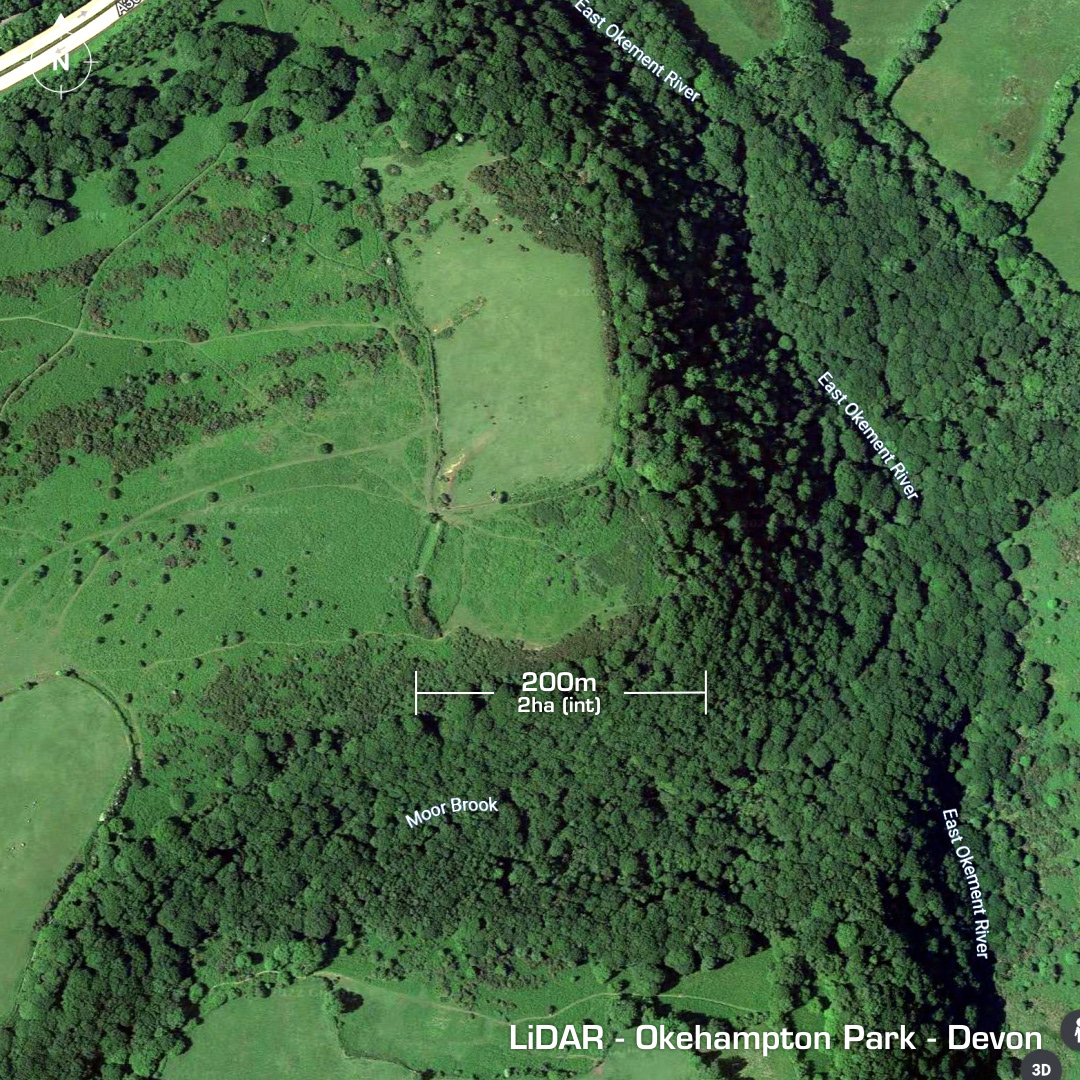
DTM- (Digital Terrain Model, i.e. No buildings or foliage) Just south of the A30 as it passes Okehampton at the summit of the hill lies the promontory fort, Okehampton Park. Heavily degraded by ploughing. Northern part enclosed by a wall around 1900 AD. First written reference 1885. Excavated 1938. Only bank & ditch details recorded. No recorded finds, hence undated. Iron Age tribal association (conjecture based on location): Dumnonii (Scheduled Monument) [Any descriptive text is attributed to the Atlas of Hillforts & Historic England websites]