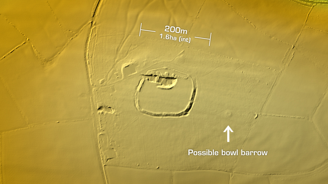
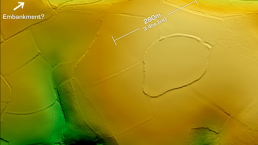
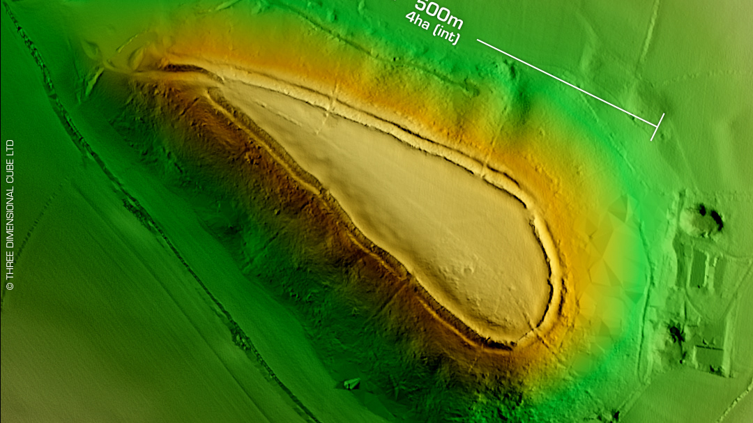
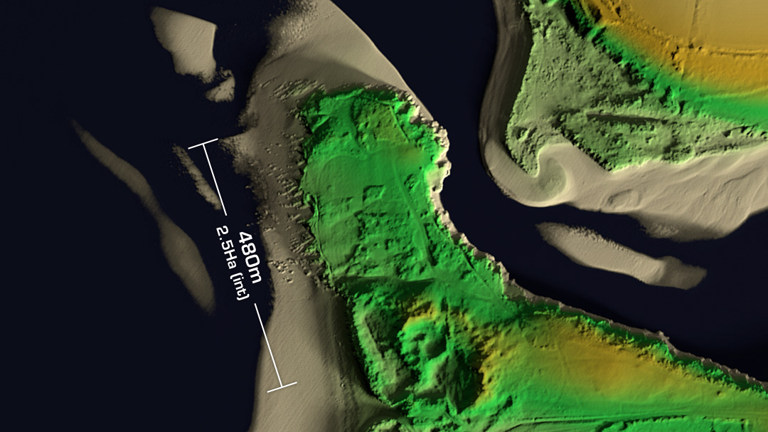
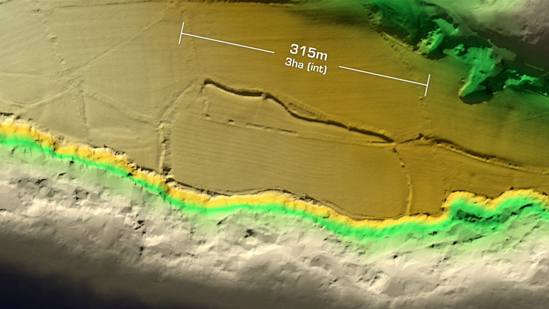
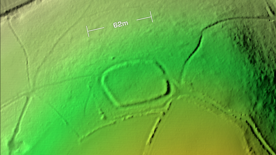
DTM- (Digital Terrain Model, i.e. No buildings or foliage) Within fields between Bugford and Norton below the A3122 lies the heavily degraded univallate partial contour hillfort, Woodbury Camp. On Tithe Map of 1841. On 1st Ed. OS Map 1888. 1st survey in 1994. On Heritage at Risk register. No subsequent excavations or finds recorded. Iron Age tribal association (conjecture based on location): Dumnonii (Scheduled Monument) [Any descriptive text is attributed to the Atlas of Hillforts & Historic England websites]