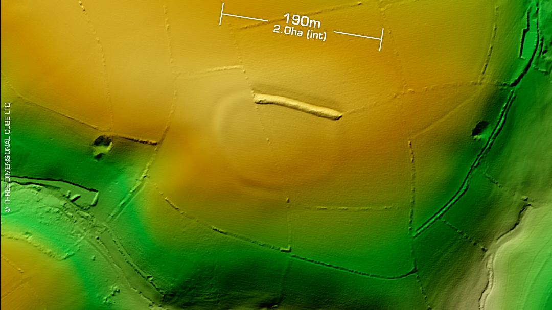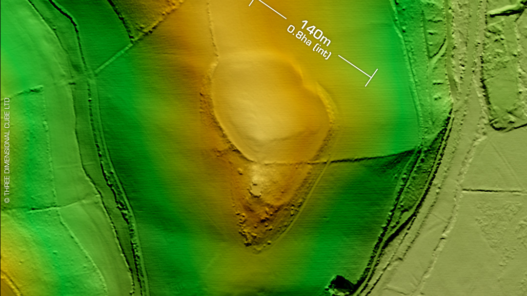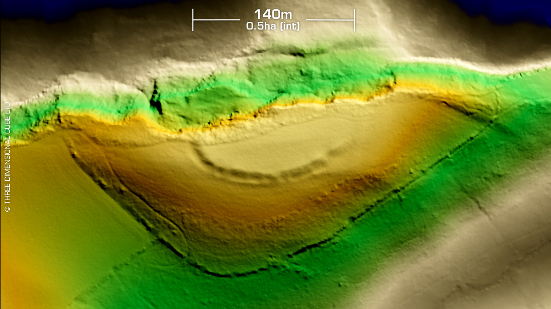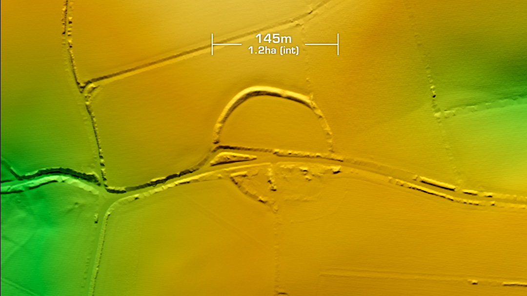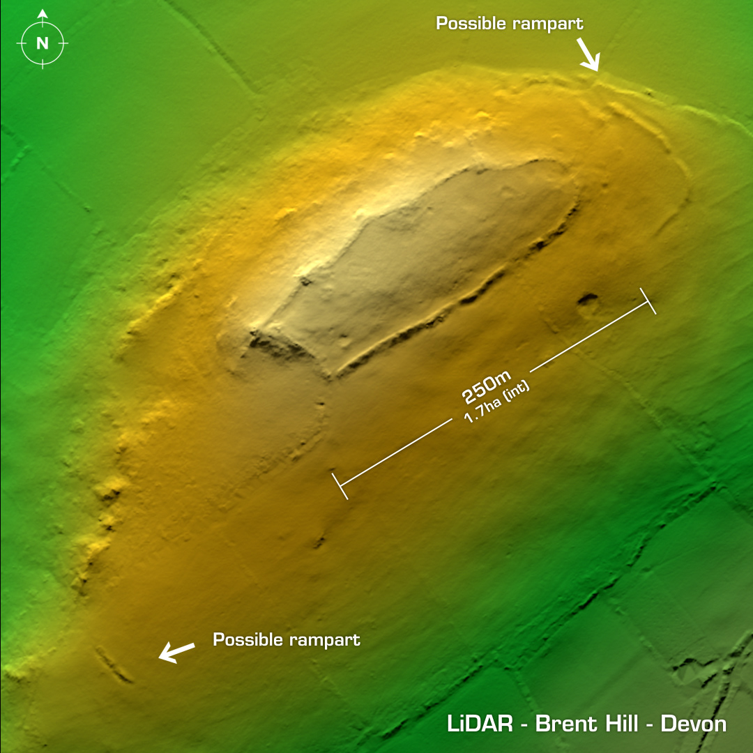
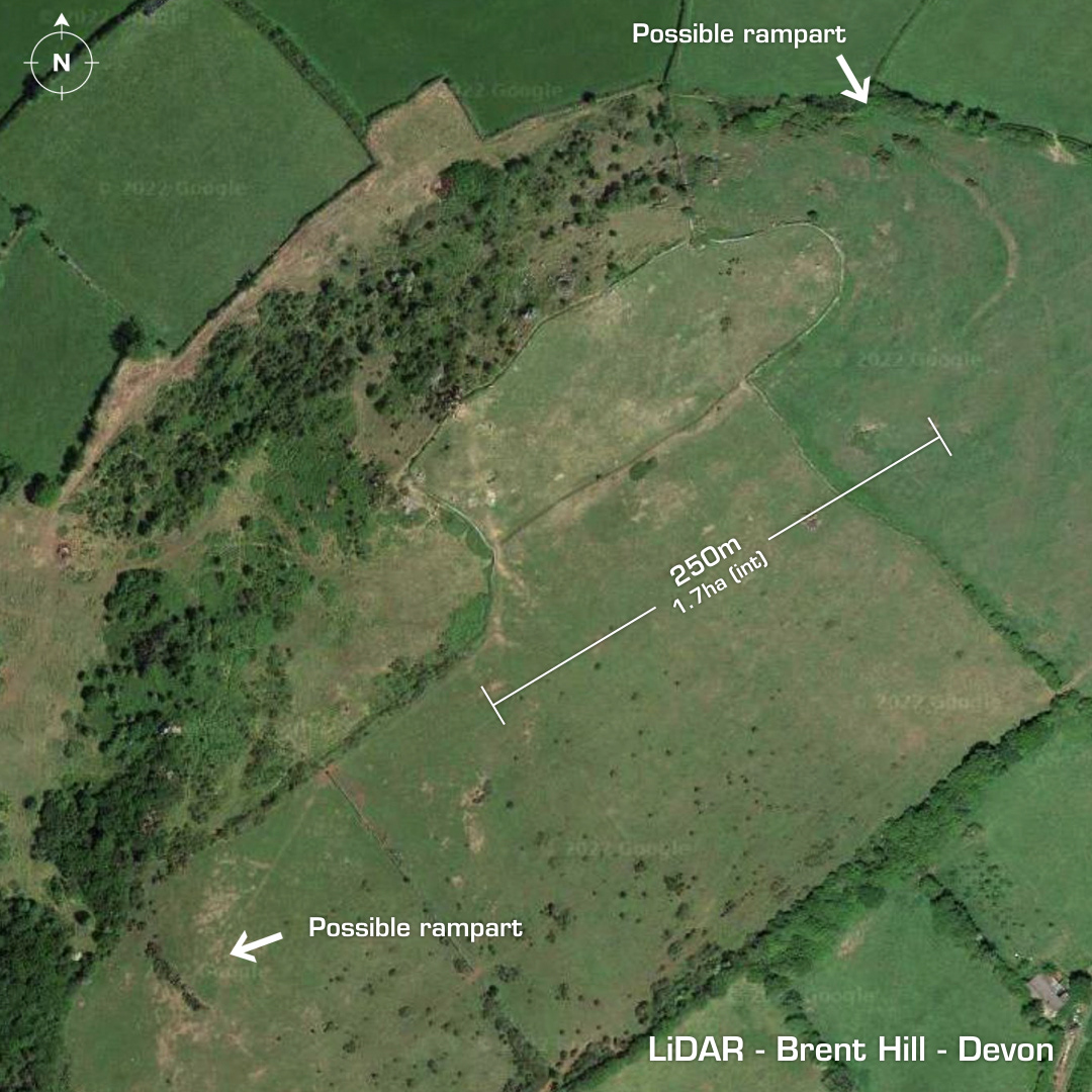
DTM- (Digital Terrain Model, i.e. No buildings or foliage) Just north of South Brent and atop Brent Hill lies the contour hillfort, Brent Hill. A modern field wall overlies the boundary embankments. Original entrance to the NE with outworks. Three possible hut circles and a later ‘Brent beacon’ in 1675 in interior. Field visits but no recorded surface finds and no excavations, hence undated. Iron Age tribal association (conjecture based on location): Dumnonii (Un-scheduled Monument) [Any descriptive text is attributed to the Atlas of Hillforts & Wikipedia websites and any associated archaeological descriptions online which will be credited accordingly.]