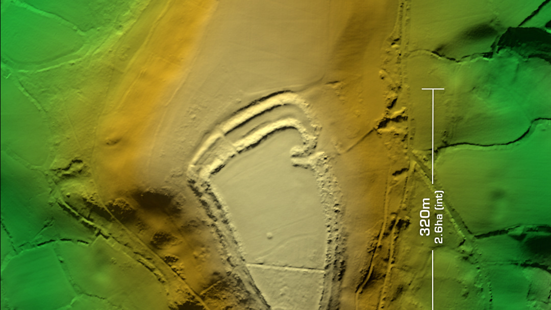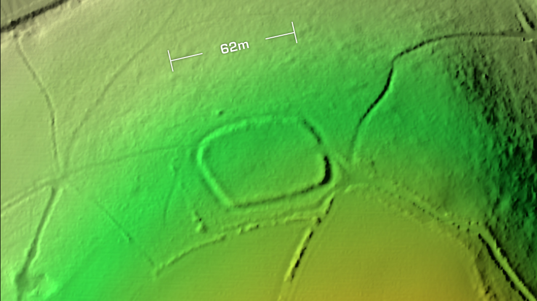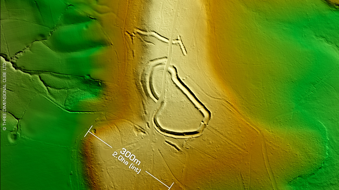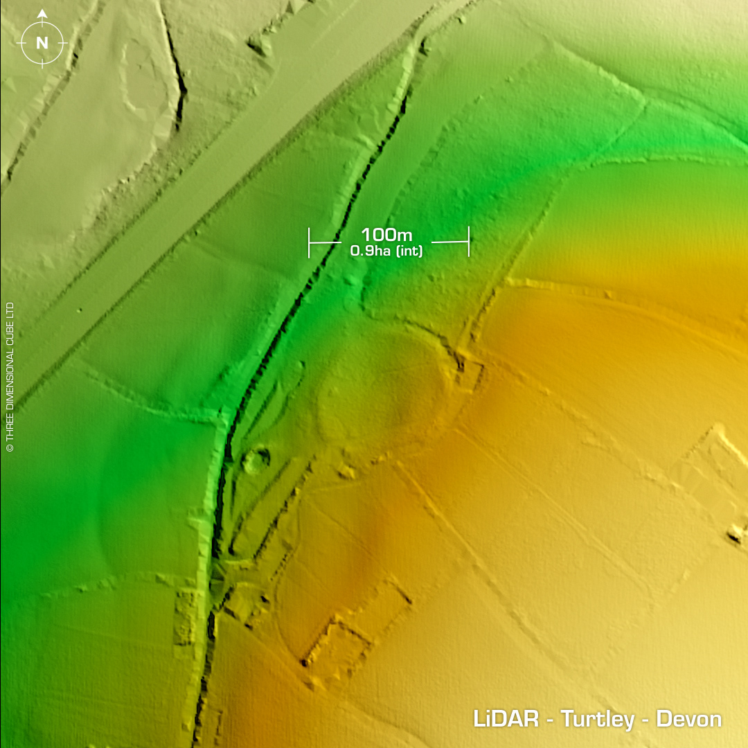
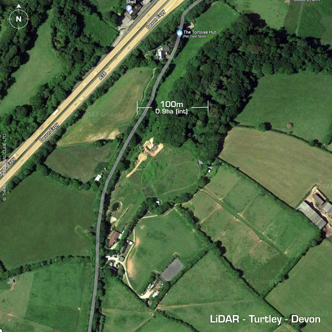
DTM- (Digital Terrain Model, i.e. No buildings or foliage) To the southwest of South Brent below the A38 on private farmland & west of the River Avon lies the possible hillslope fort then possible Roman Camp, Turtley. Heavily degraded by ploughing, you can only just make it out on the LiDAR, hence no oblique render as it wasn’t worth it. Recorded on 1st Ed. OS map in 1887. Site visit in 1997, details lost. No subsequent excavations or finds recorded. Iron Age tribal association (conjecture based on location): Dumnonii (Scheduled Monument) [Any descriptive text is attributed to the Atlas of Hillforts & Historic England websites]