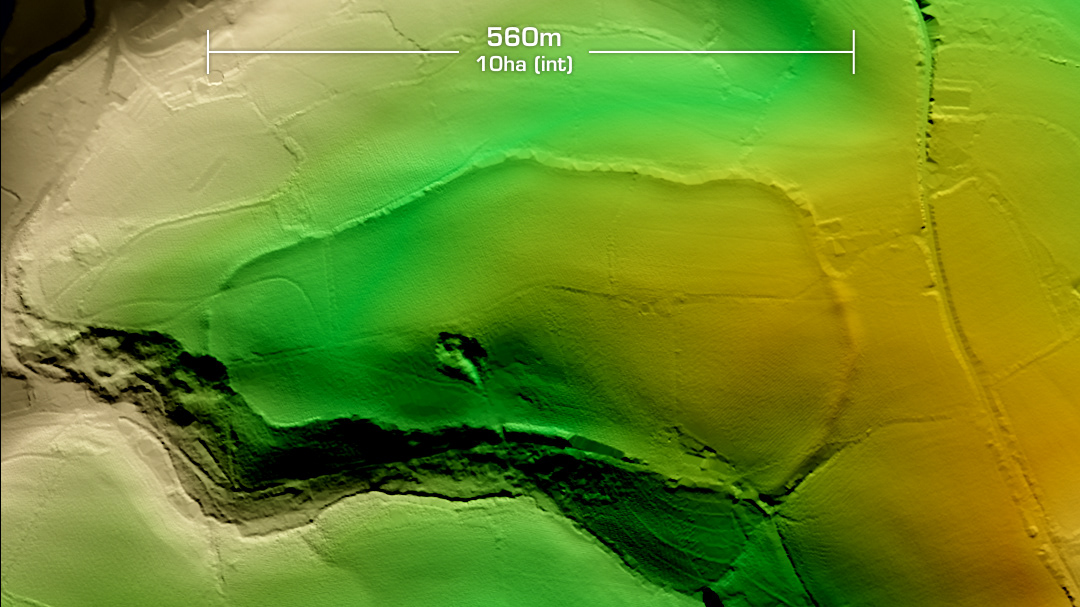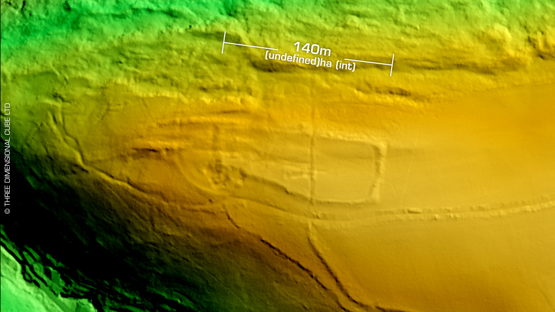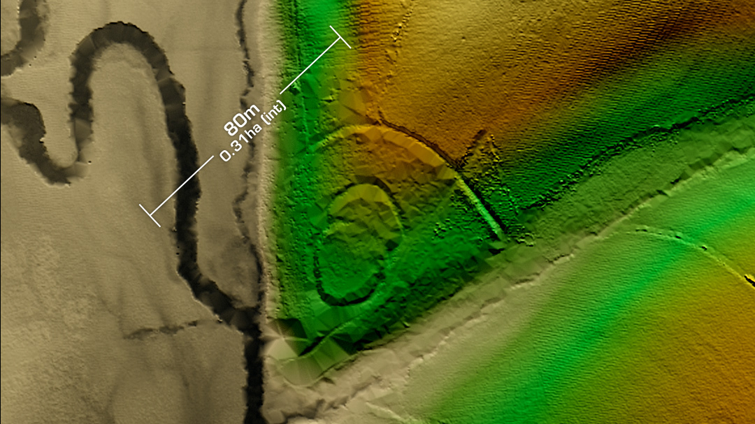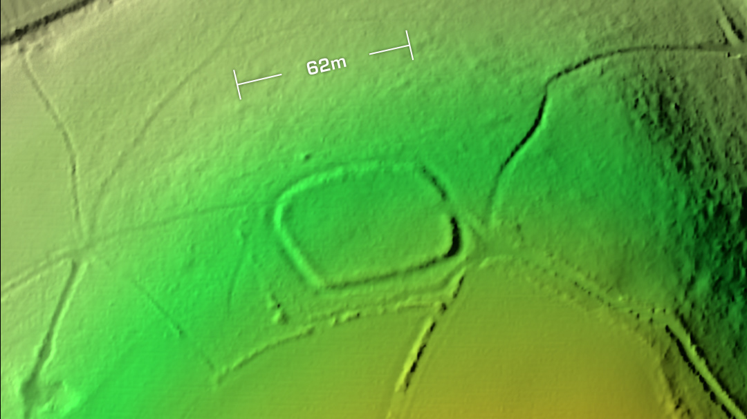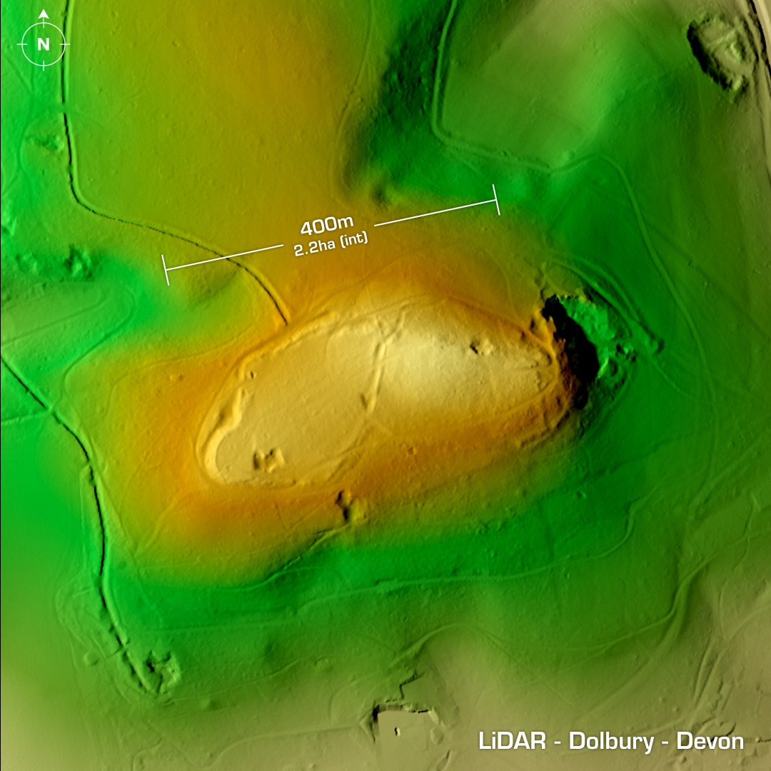
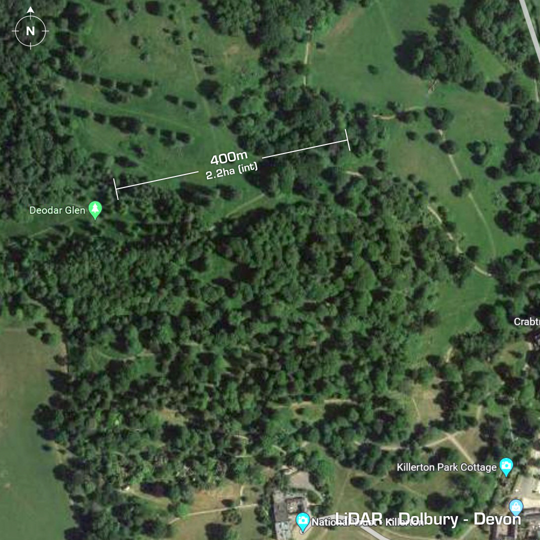
DTM- (Digital Terrain Model, i.e. No buildings or foliage) East of the M5 motorway at Killerton and hidden within woodland north of Killerton House (National Trust) lies the degraded univallate partial contour hillfort, Dolbury. This site is actually the right-hand oval structure which adjoins an earlier possible neolithic enclosure. Forest planted in the 18th century. Severe quarrying on east slope. Field investigation in 1967. No excavations, hence undated. Iron Age tribal association (conjecture based on location): Dumnonii (Scheduled Monument) [Any descriptive text is attributed to the Atlas of Hillforts & Historic England websites and any associated archaeological descriptions online which will be credited accordingly.]