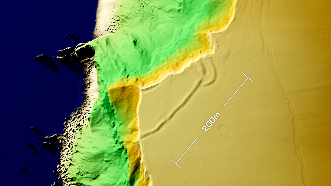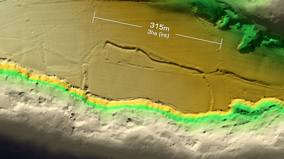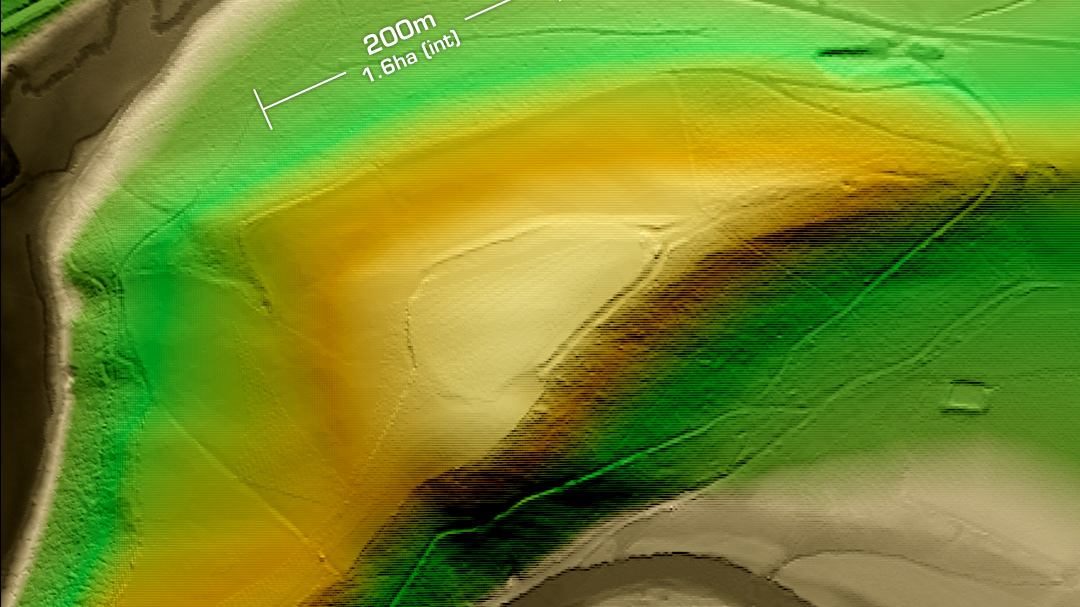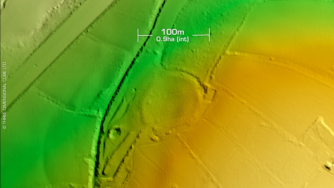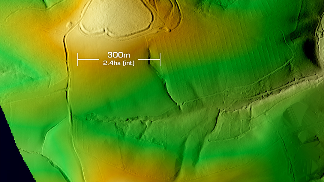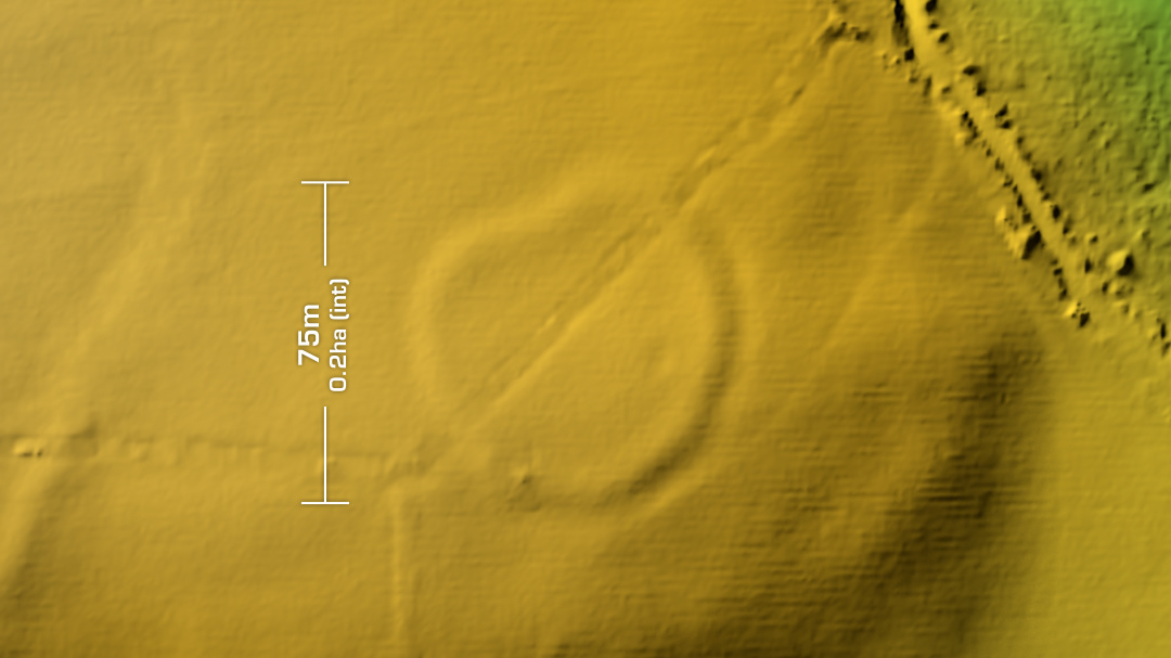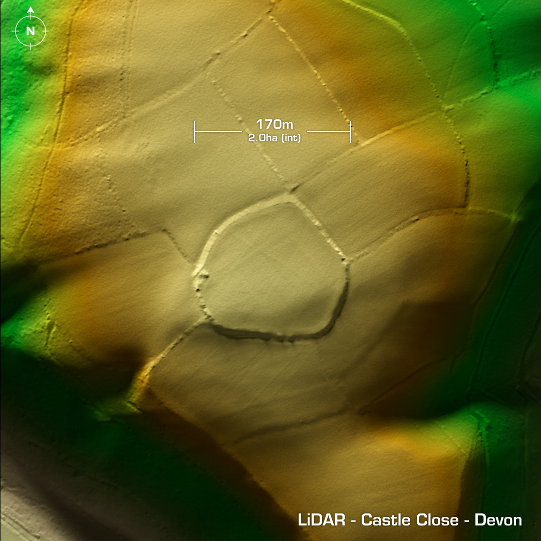

DTM- (Digital Terrain Model, i.e. No buildings or foliage) Two km to the southeast of Stoodleigh & overlooking the rivers Parkhouse Water and the River Exe & now bordered in hedges lies the univallate contour hillfort, Castle Close. Heavily degraded by ploughing in the past. First recorded in 1880. Scheduled since 1964. Minimal investigations. Unexcavated, hence undated. Iron Age tribal association (conjecture based on location): Dumnonii (Scheduled Monument) [Any descriptive text is attributed to the Atlas of Hillforts & Wikipedia websites and any associated archaeological descriptions online which will be credited accordingly.]