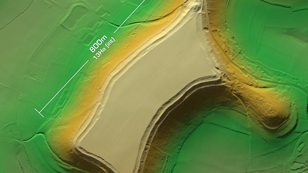
Abbey Camp & The Castle
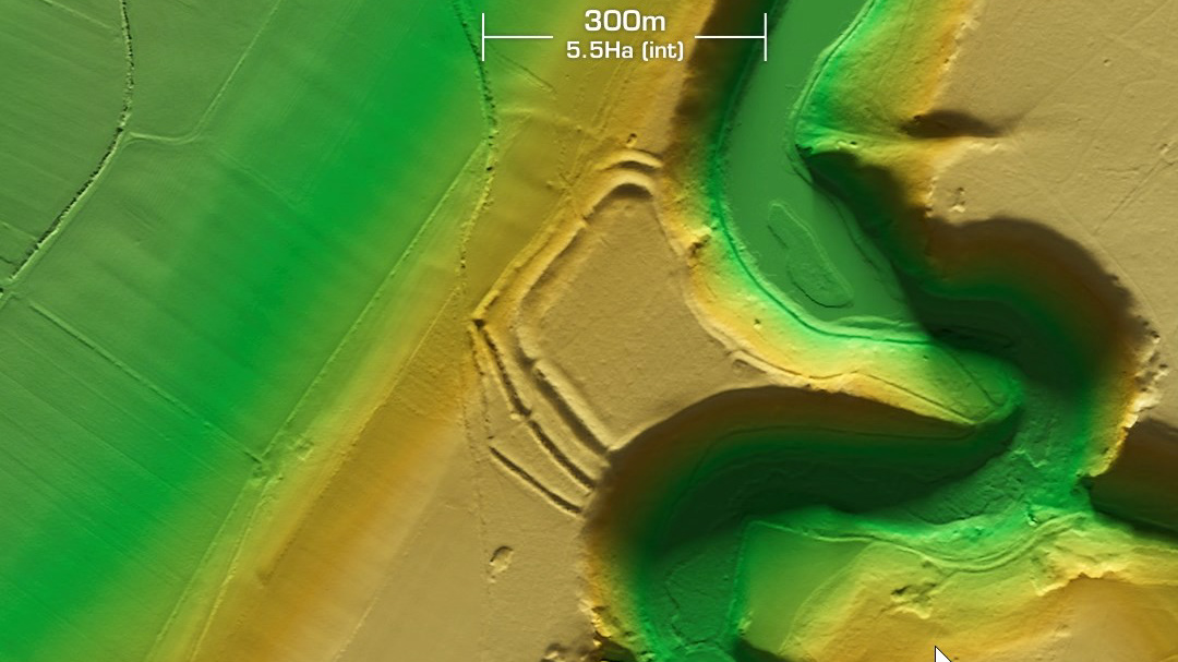
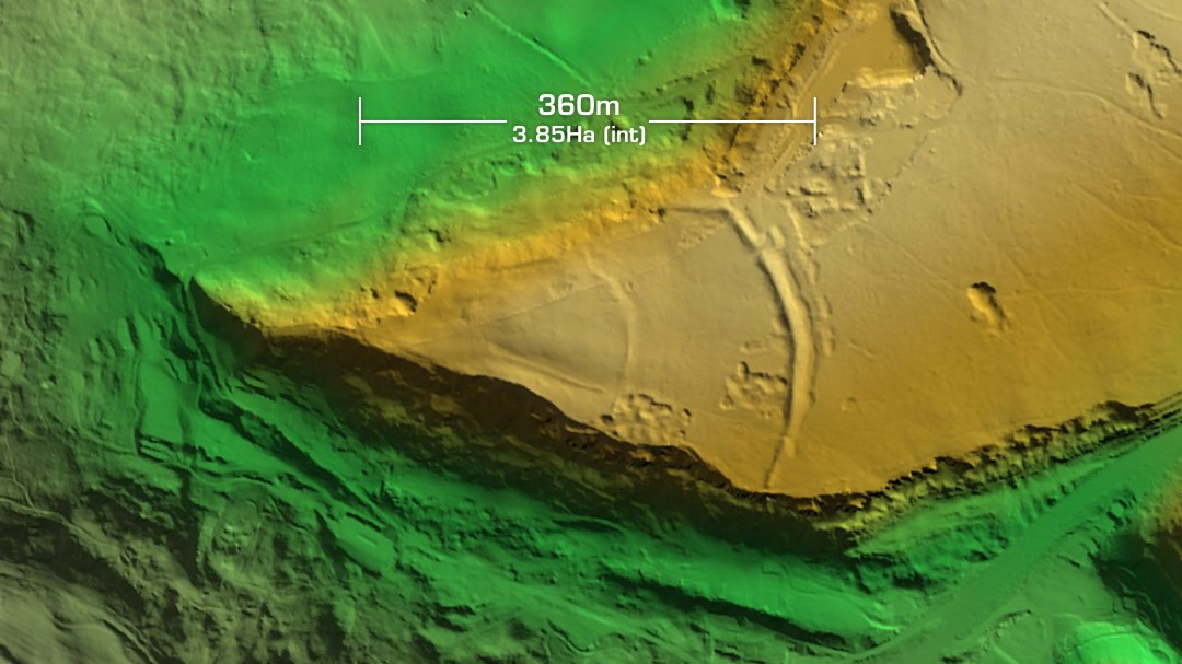
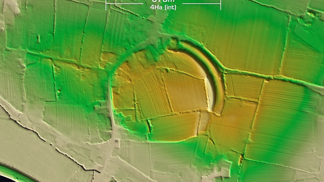
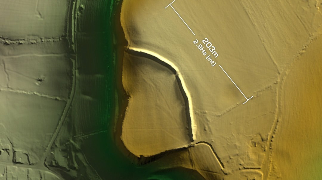
DTM- (Digital Terrain Model, i.e. No buildings or foliage) Just to the southeast of Thornbury and each side of the Hanson Aggregates quarry lie two heavily degraded hillforts, Abbey Camp and The Castle. Abbey Camp is the slight univallate partial contour hillfort to the west of the quarry. Bisected by the A38, the fort has been damaged by heavy ploughing over the years. Surface finds: Mesolithic flints, Roman pottery, roof tiles, glass beads and 1st century Roman coins (found in a trench). I saw in the LiDAR a possible embankment/rampart to the north of this site. It looks similar to others I’ve seen associated with hillforts but could be contemporary. The Castle is a univallate contour hillfort partially destroyed by quarrying and is situated on the east edge of the quarry. Last field investigation 1962 but records lost. Even though what’s left of it is in better condition than Abbey Camp, The Castle has not been excavated, hence undated as no surface finds have been logged. Iron Age tribal association (conjecture based on location): Dobunni (Neither of these appear to be a Scheduled Monument, unless I’ve mis-typed on the search list)


