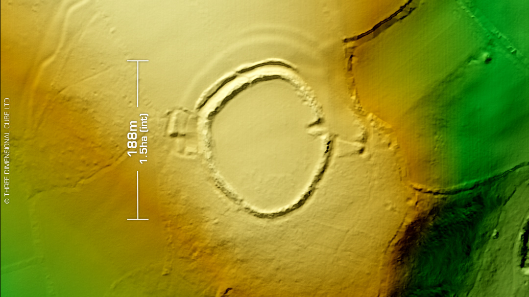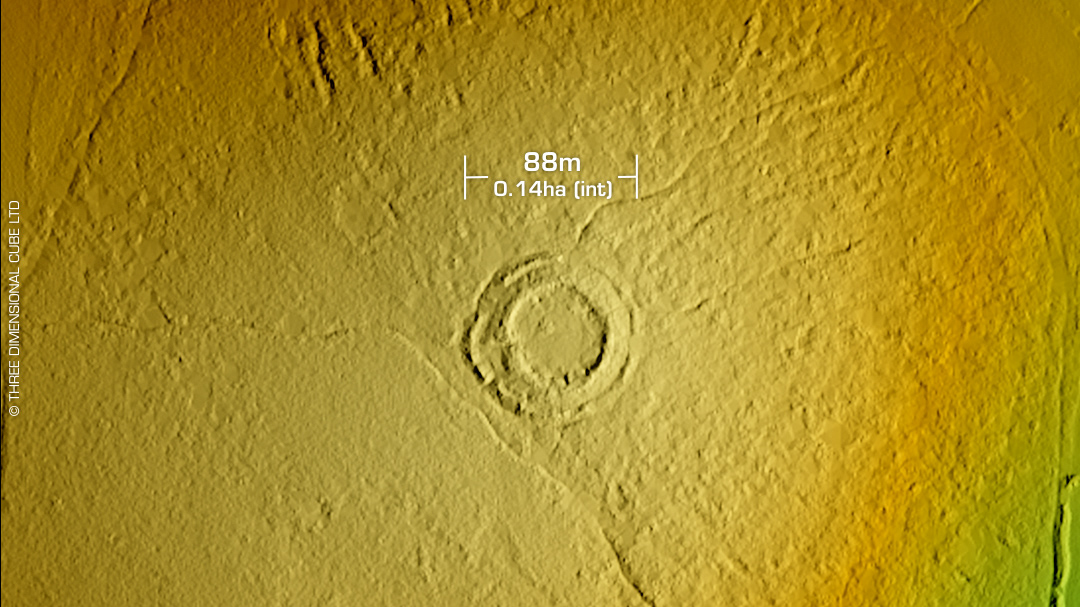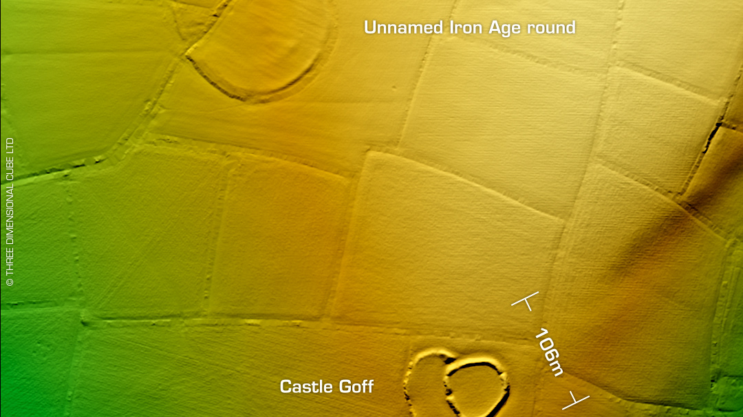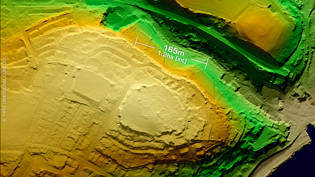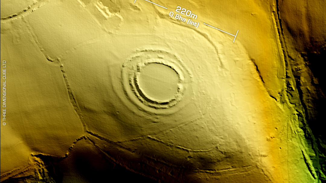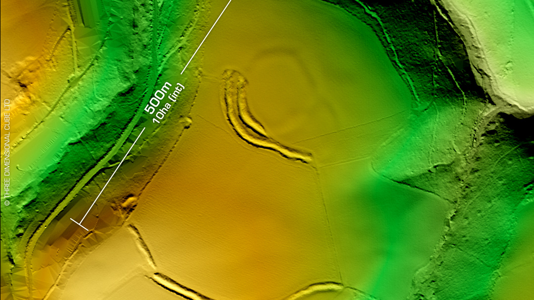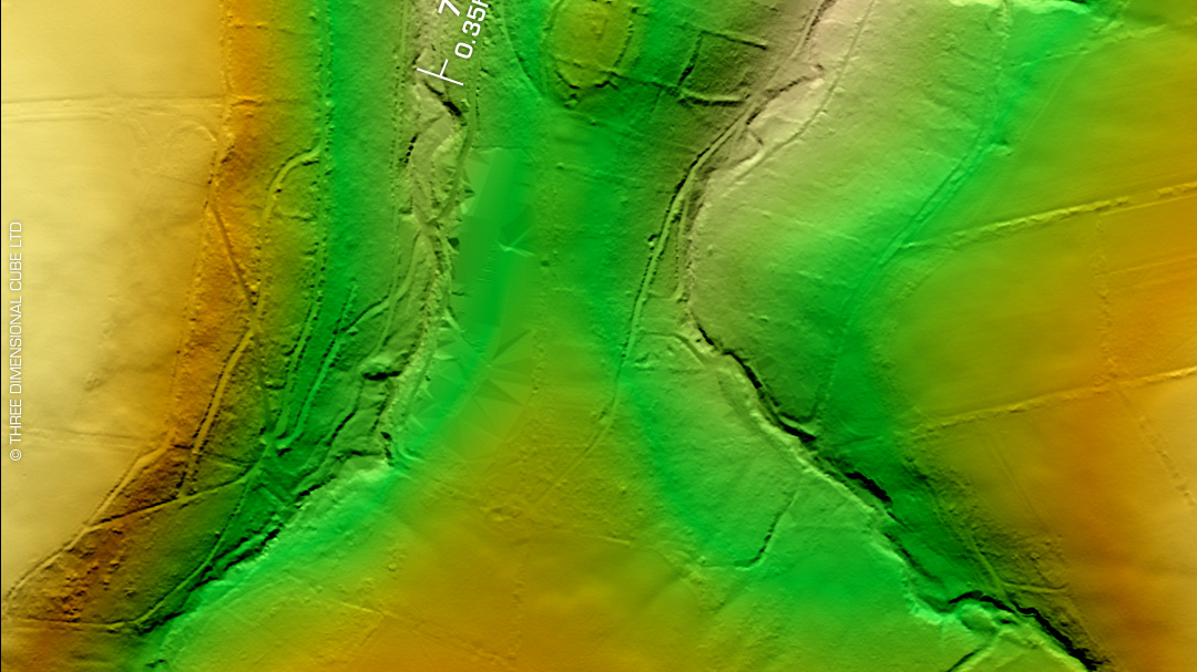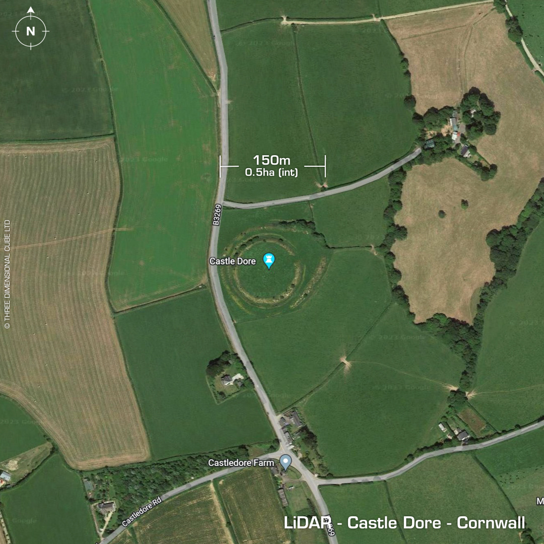
DTM- (Digital Terrain Model, i.e. No buildings or foliage) Just to the east of Tywardreth and alongside the B3269 lies the multivallate partial contour hillfort, Castle Dore. Mapped as three banks in 1847 but the third back is missing today. On the LiDAR it may be the edge of the shape that joins with the hedge line two fields to the east, making a polygonal surrounding bank much further out than the fort itself? First written record in 1470 by William Worcester. Interior part excavated in 1936 & recent analysis yield a construction date of 4-500BC (based on ceramics). Entrance remodelled 3-400 BC. Roundhouse remains (Post holes) Two oval structures (Possibly Romano British) Possible abandonment before the Roman period. Additional finds include South Western Decorated pottery and cordoned wares, Late Iron Age bead, Amphorae, Iron Age imported glass bracelets and a glass bead. Finds relating to skirmish between Charles 1st and Earl of Essex in 1644 when the Parliamentarian forces retreated into the site and held position until dark. Site mentioned in Arthurian legend. Plough damage to interior. Iron Age tribal association (conjecture based on location): Dumnonii (Scheduled Monument) [Any descriptive text attributed to the Atlas of Hillforts & Historic England websites]