Dyrham Camp
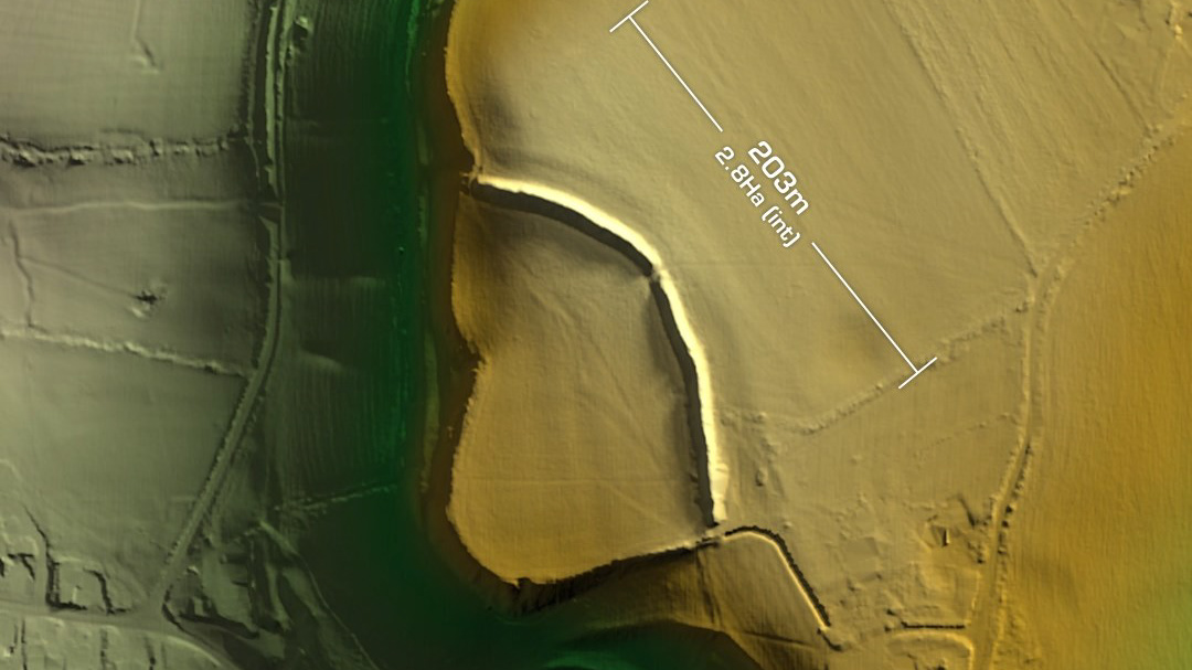
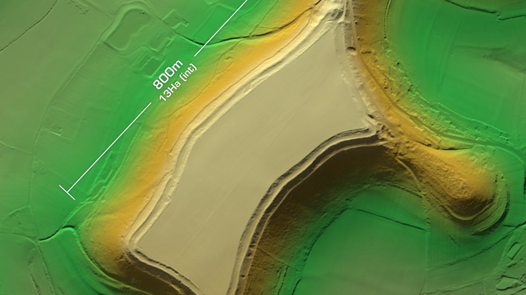
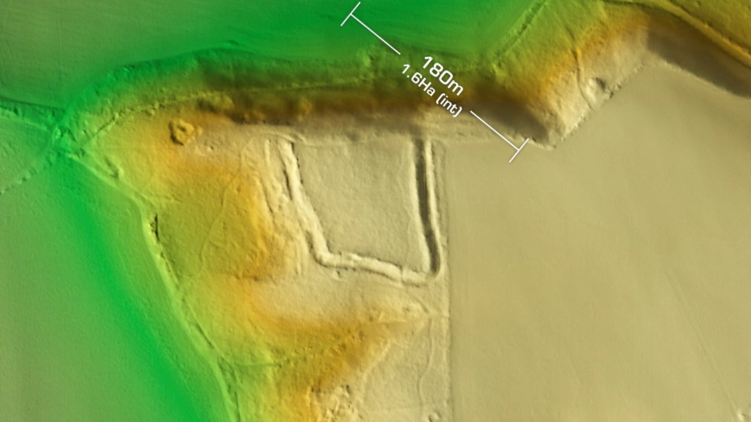
DTM- (Digital Terrain Model, i.e. No buildings or foliage) Just below the M4 and to the east of Hinton in ploughed fields lies the univallate partial contour hillfort, Dyrham Camp. Bisected by the local road, Cotswold Way. A trial excavation in 1969 confirmed the site’s age and original entrance to the east (details lost). Geophys in 2006. Possible site of the battle of Dyrham in 577 AD between the invading Saxons and the local Britons. First documented in 1665 AD in Aubrey’s ‘Monumenta Britannica’. Probably worth a fieldwalk (with permission obvs) to see if there are any surface pottery sherds. Iron Age tribal association (conjecture based on location): Dobunni (Scheduled Monument)
