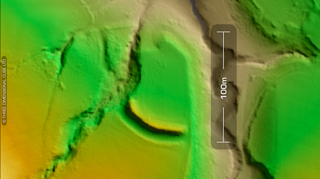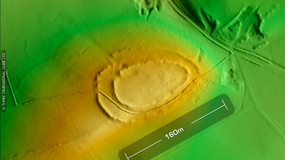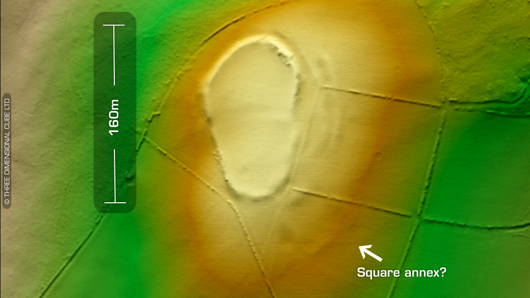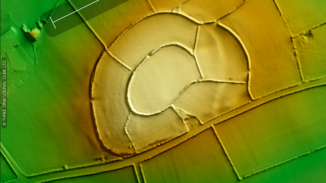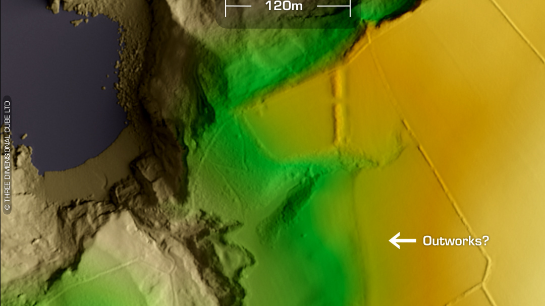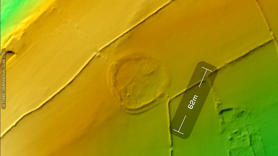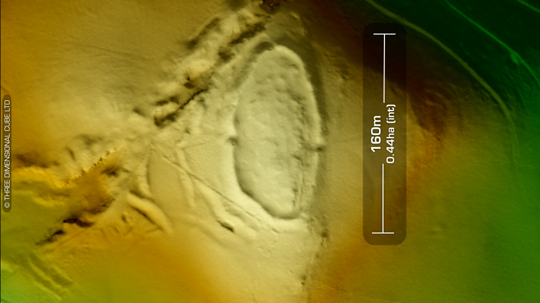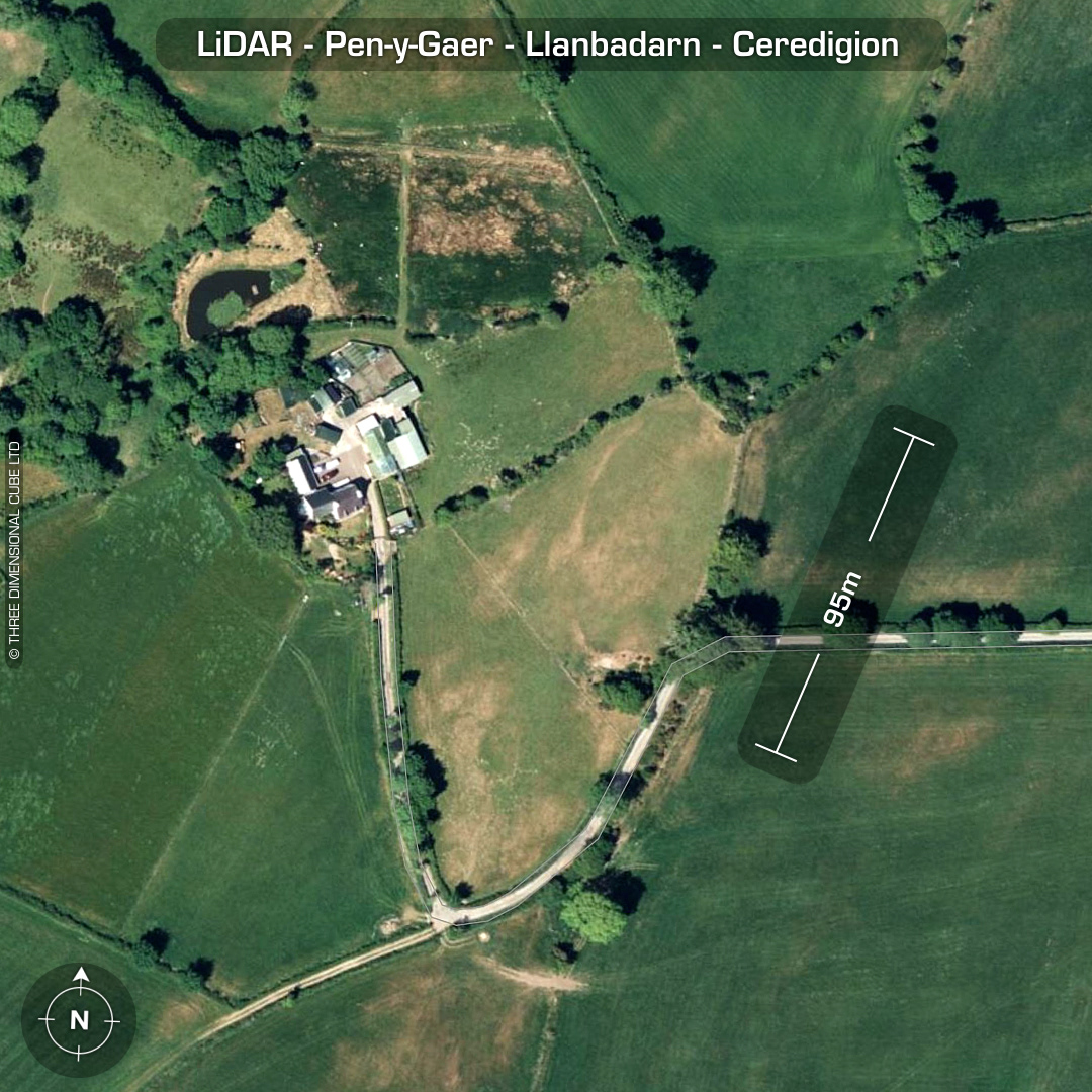


LiDAR – Pen-y-Gaer-Llanbadarn - Ceredigion DTM- (Digital Terrain Model, i.e. No buildings or foliage) On a farm, just to the west of the Roman Road, B4578 & north of the village of Llettum-ddu sits an almost ploughed-out contour hillfort, Pen-y-Gaer (Llanbadarn). Oval enclosure with in-filled ditch. Site of entrance unknown. Possible annex on south side. Old quarry on south side of main enclosure. In 1955 the north rampart was still at 2m high. No recorded excavations or finds, hence undated*. (Scheduled monument) Iron Age tribal association (conjecture based on location): Demetae *Possible age range 2000-2700BP (Before present) Descriptions from hillforts.arch.ox.ac.uk & Dyfed Archaeological Trust HER. 1st ED OS Mapping via National Library of Scotland. Contains public sector information licensed under the Open Government Licence v3.0.