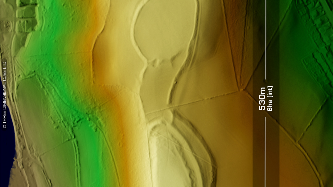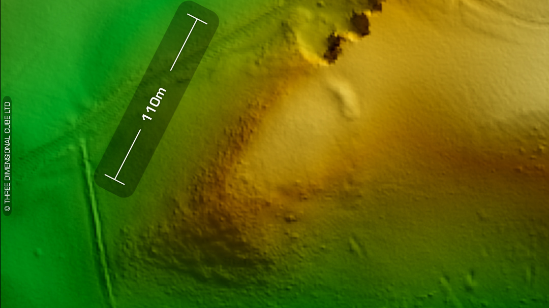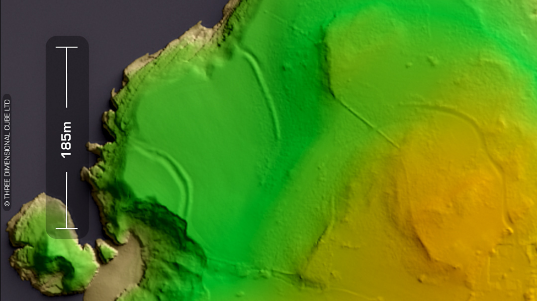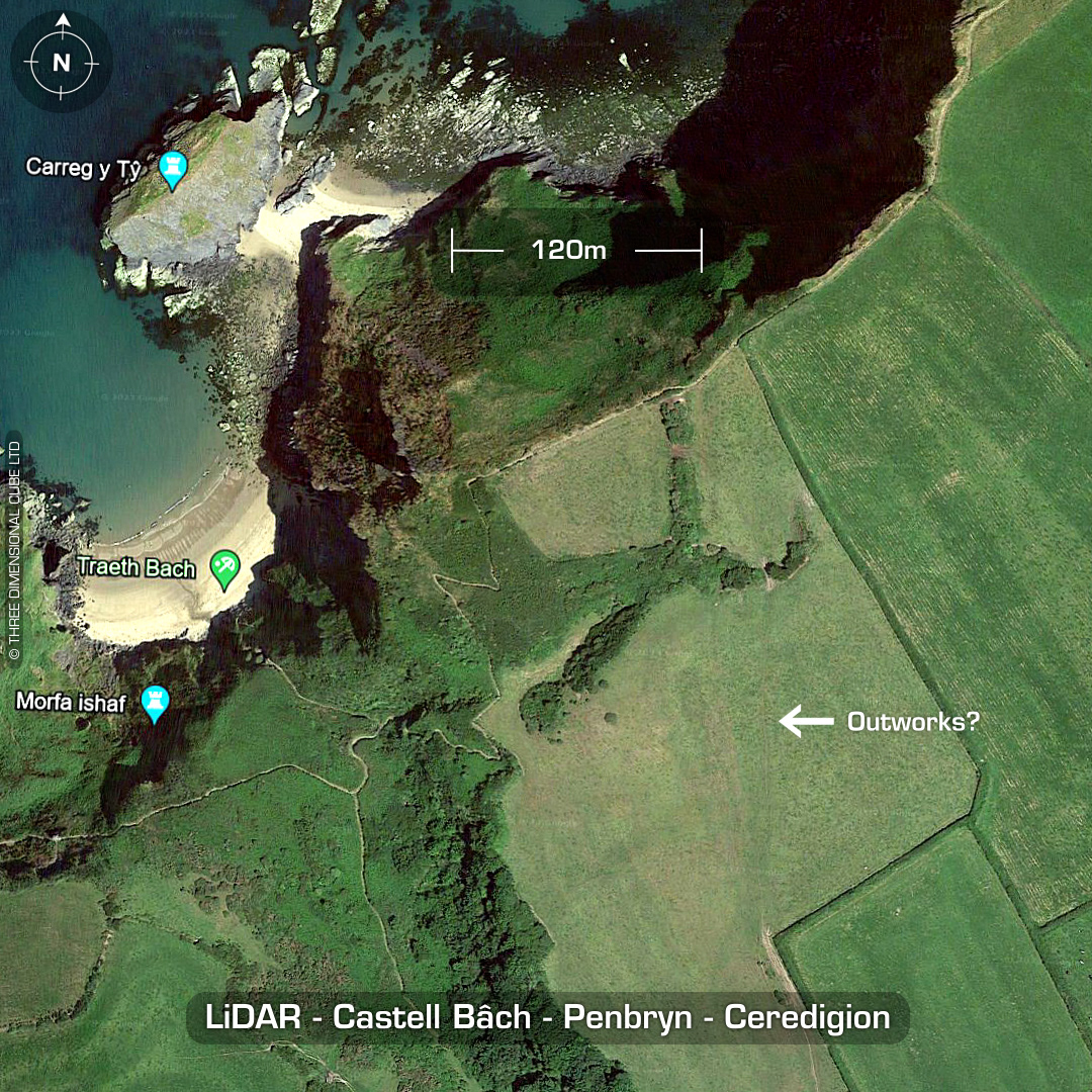
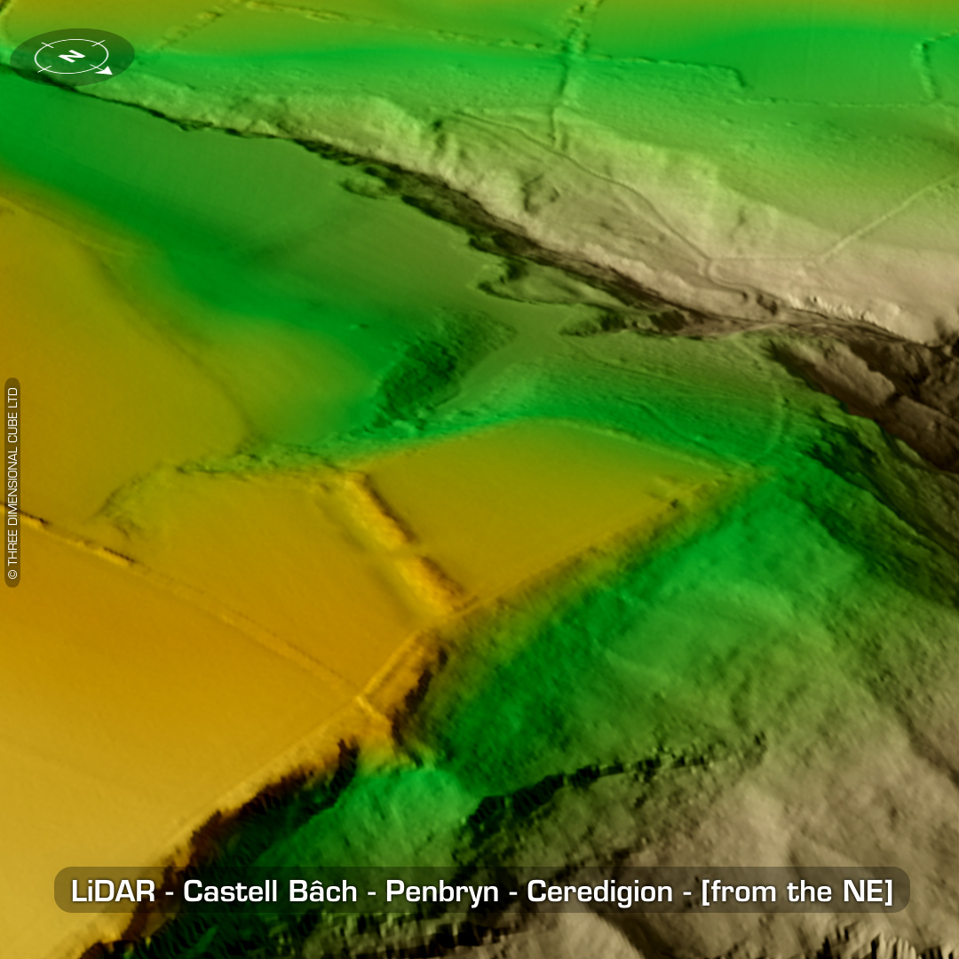
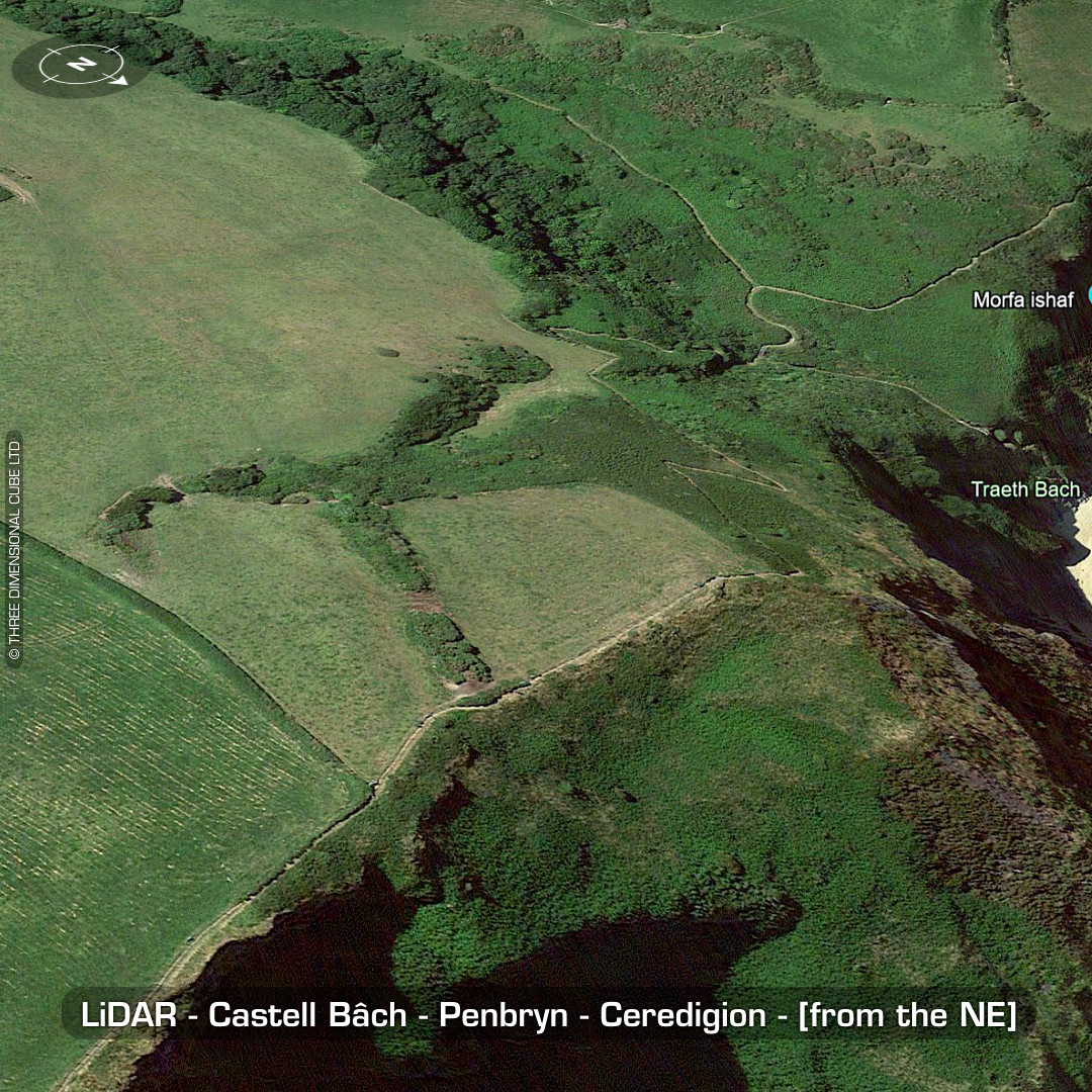
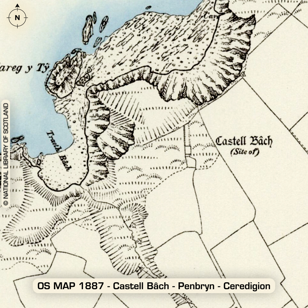
DTM- (Digital Terrain Model, i.e. No buildings or foliage) Overlooking the sea just to the southwest of LLangrannog Beach lies the coastal promontory fort, Castell Bâch – Penbryn. Heavily degraded by ploughing over the centuries. Gap in rampart may be original entrance but is now used by farm vehicles to access interior. Site has been surveyed but there is a wide difference of opinion regarding interior and exterior features. Coastal erosion at the site is accelerating, as noticed in 1996 but no plans moving forward. A bronze age standing stone, named ‘Garreg’ (DYFED HER 48375) sits on a field boundary to the Castell’s southeast 30m away from another (DYFED HER 5294). No recorded finds or excavations, hence undated*. (Scheduled monument) Iron Age tribal association (conjecture based on location): Demetae *Possible age range 2000-2700BP (Before present) Descriptions from hillforts.arch.ox.ac.uk & Dyfed Archaeological Trust HER. 1st ED OS Mapping via National Library of Scotland. Contains public sector information licensed under the Open Government Licence v3.0.