Penbury Knoll
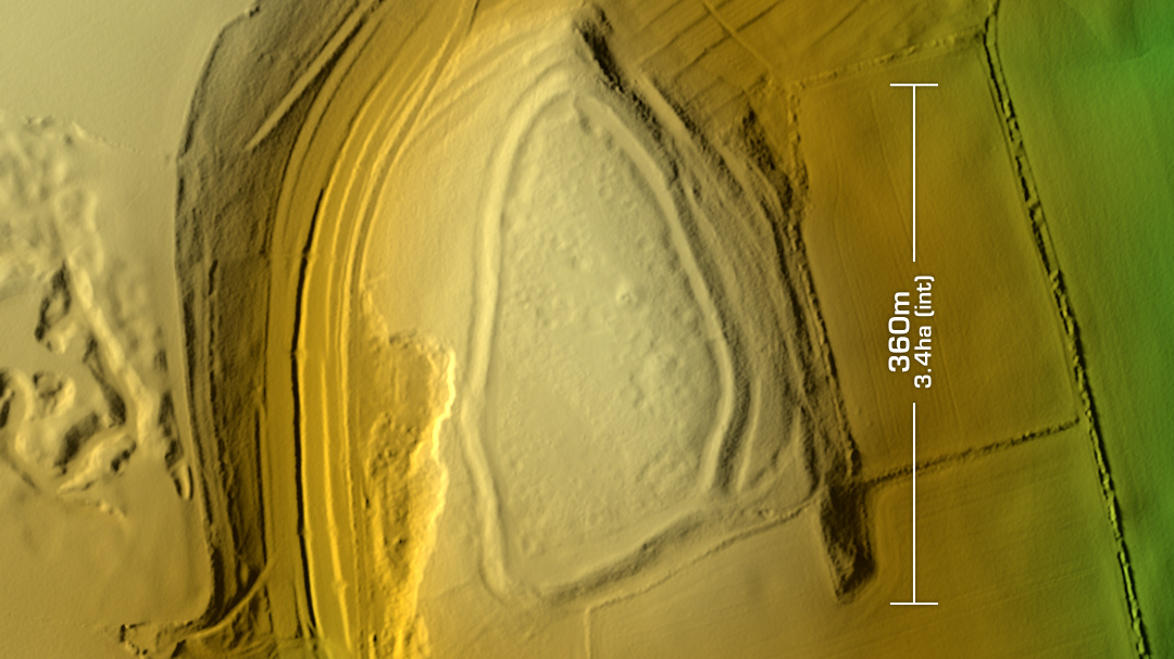
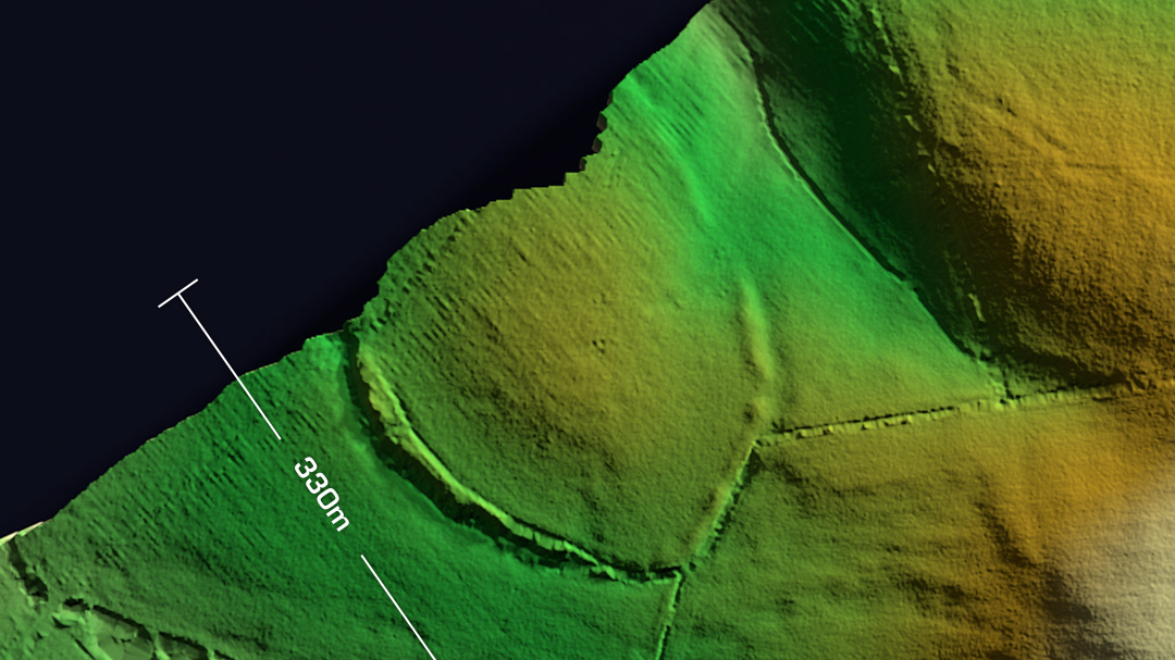
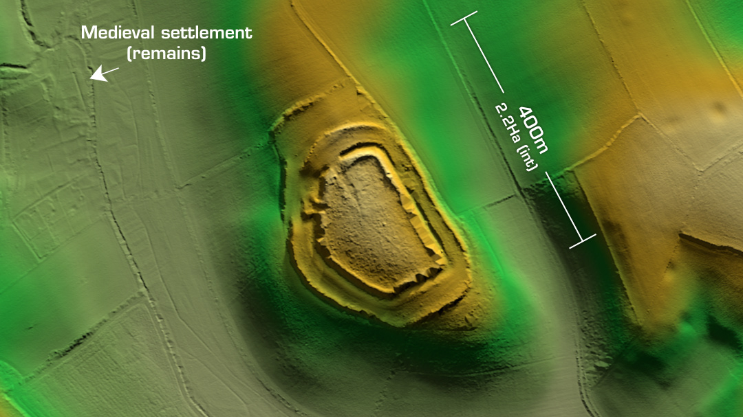
DTM- (Digital Terrain Model, i.e. No buildings or foliage) Just to the southeast of Pentridge lies the mostly destroyed univallate contour hillfort, Penbury Knoll. Modern quarrying had heavily degraded the site. There is a recorded Celtic field system to the northwest, but any association is speculative. On the LiDAR however an oblate rectangular enclosure appears to have been missed by field investigations. I’m sending this info to Dorset HER (Historic Environment Record) to see if it flags-up on their records. Penbury Knoll has had minimal investigations hence its undated, but surface finds include Mesolithic & Neolithic flints an Axe, scrapers a knife a pick and a truncated blade. Apparently, an ancient beacon once stood at the summit. (Scheduled Monument) Iron Age tribal association (conjecture based on location): Durotriges [Any descriptive text is attributed to the Atlas of Hillforts & Wikipedia websites and any associated archaeological descriptions online which will be credited accordingly.]
