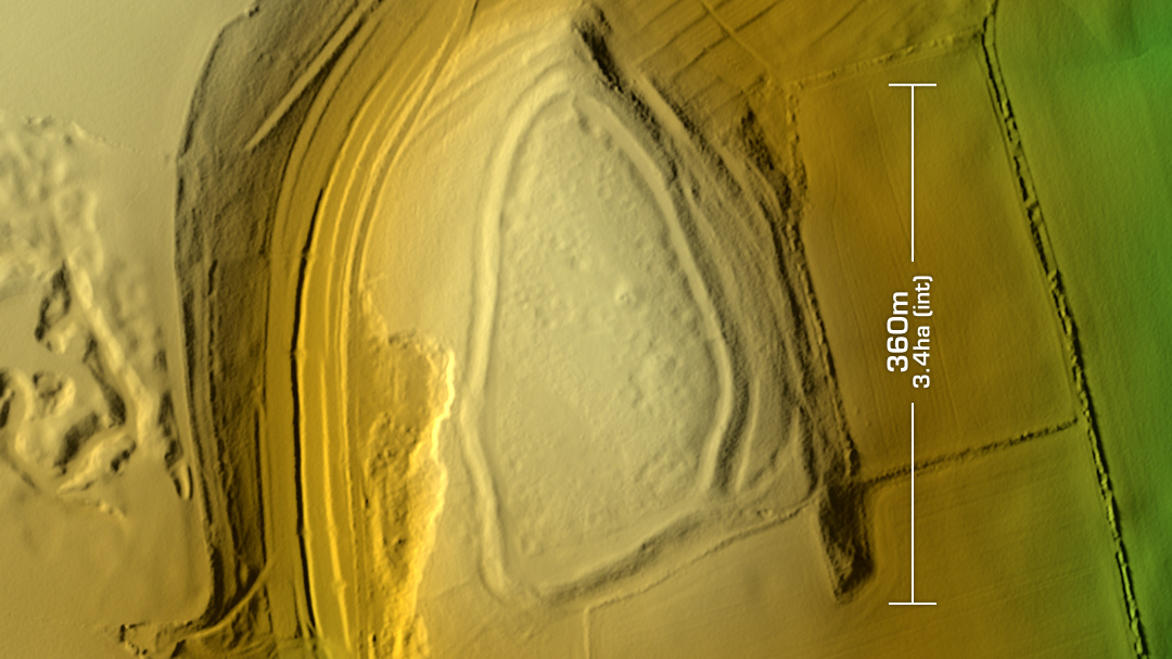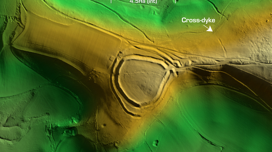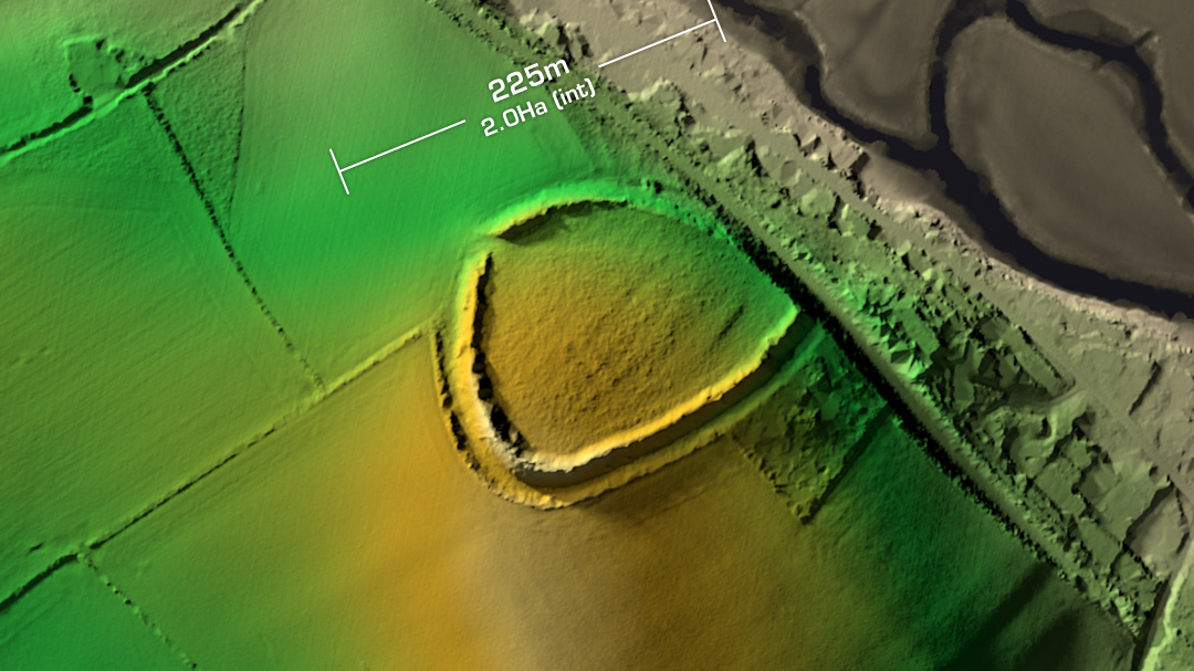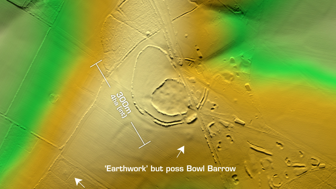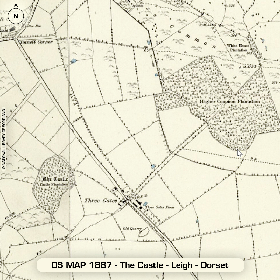
LiDAR – The Castle - Leigh - Dorset DTM- (Digital Terrain Model, i.e. No buildings or foliage) Sorry about the lack of uploads in the last two weeks. The Atlas of Hillforts site has been down (I spoke to Ian Ralston & Gary Lock who were unaware of this but now they are on it) so I can’t get much information on the next set of Pembrokeshire sites, so we’ll just have to wait a bit longer as I don’t want to upload without the site info. In the meantime, I revisited a site I found last year alongside The Castle – Leigh but at that point it had missing LiDAR data. The LiDAR has now been updated and the whole site I found is now revealed. Just south of Higher Totnell & near Pogles Wood lies the possible univallate contour hillfort, Leigh Castle. This unusual shaped enclosure has been heavily degraded by ploughing & quarrying but just to the east of it on the rest of the LiDAR tile is an unrecorded oval enclosure which is twice the area of Leigh Castle with the remnants of a massive bank to its SW corner. I contacted Dorset HER last year and Claire Pinder (Senior Archaeologist-Dorset Council) said they will look at the site more closely. Now the LiDAR for the aera has been updated I’ve sent Claire my new imagery so let’s see what happens… (Scheduled Monument) Iron Age tribal association (conjecture based on location): Durotriges