Hambledon & Hod Hill
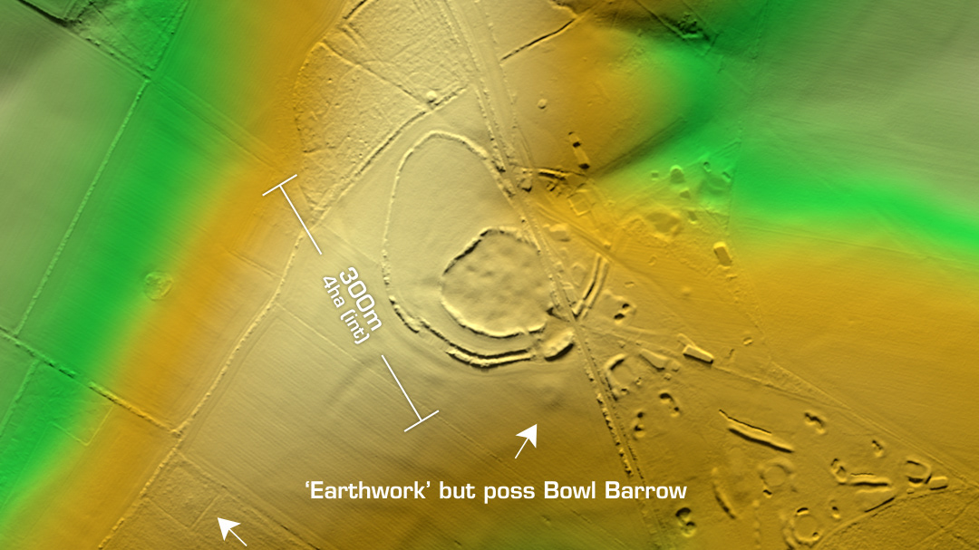
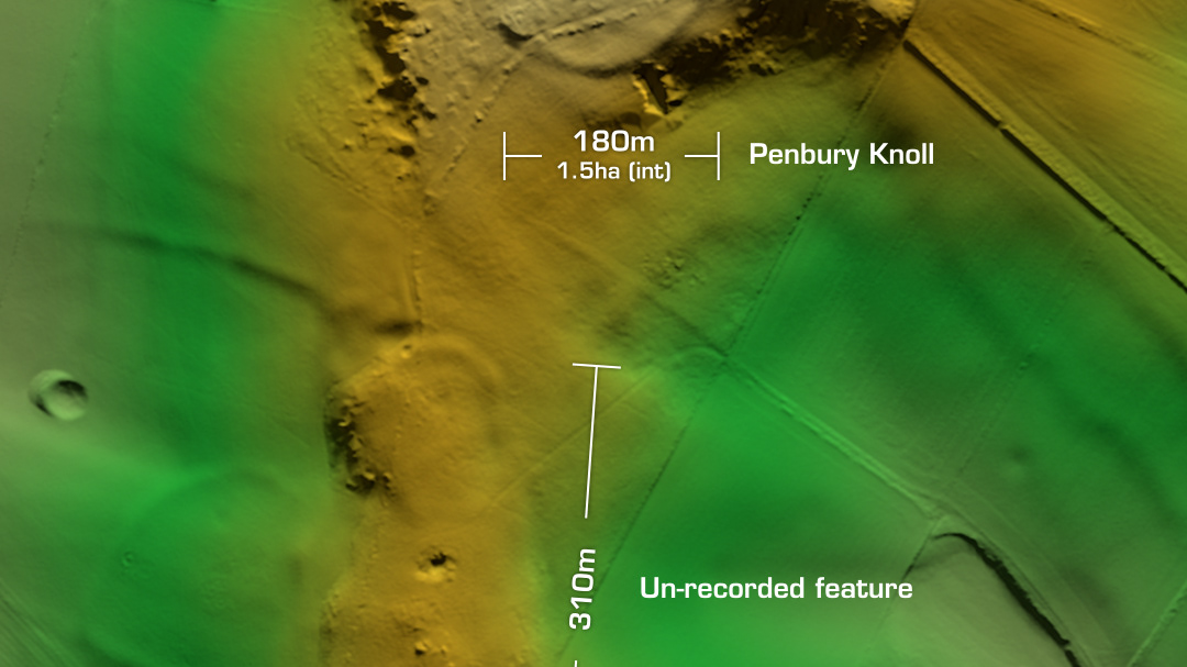
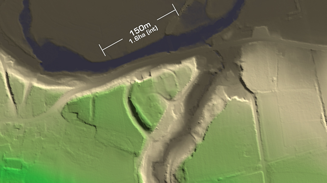
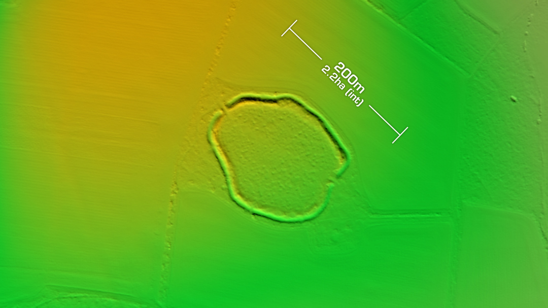
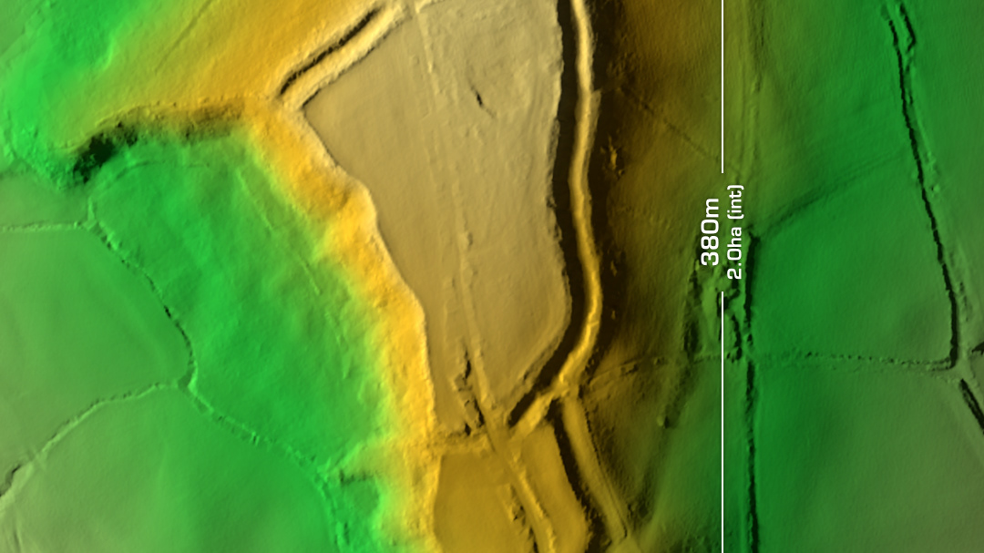
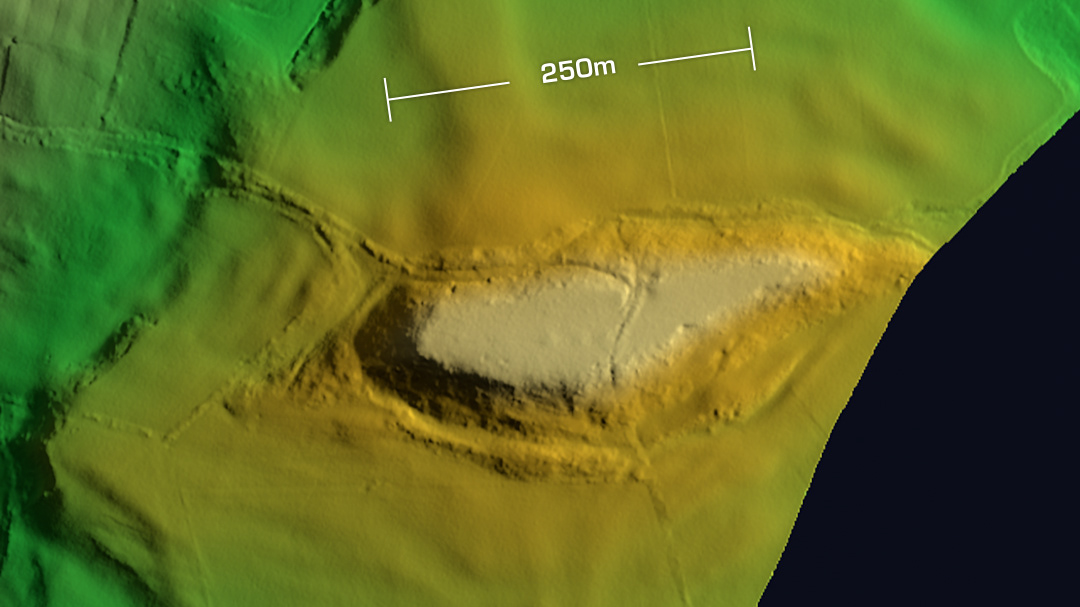
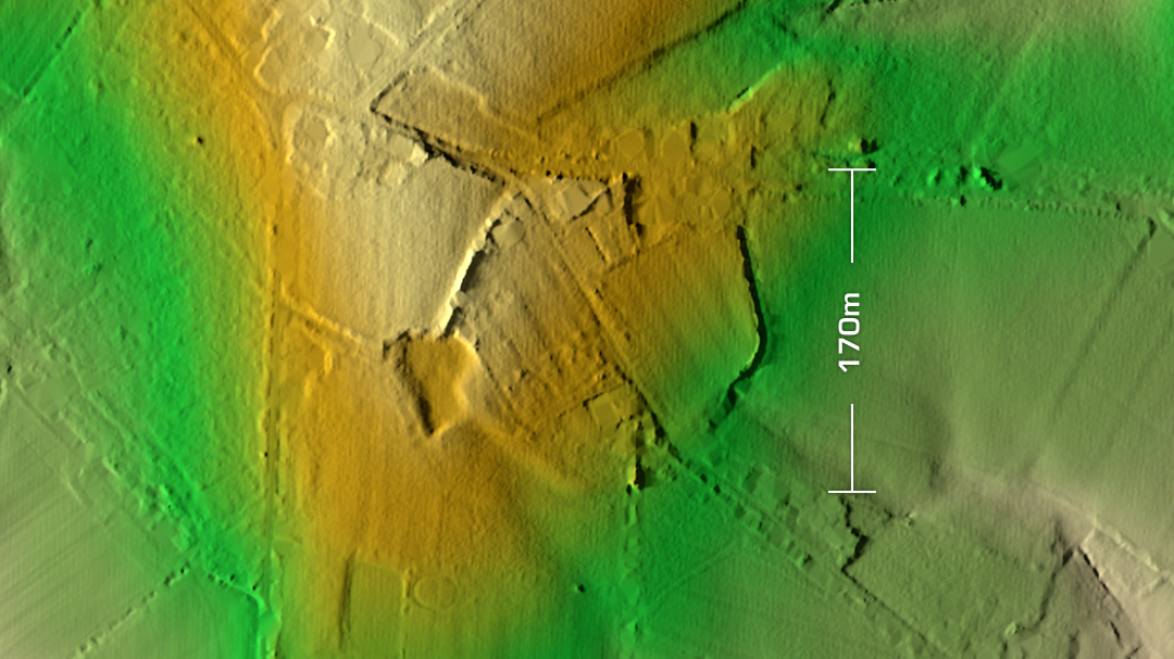
DTM- (Digital Terrain Model, i.e. No buildings or foliage) To the east of Child Okeford sits the National Trust managed contour hillfort, Hambledon Hill. Primary excavations in 1974 -86 found a multi-phase construction timeline. Initial Neolithic evidence. Bronze Age to Iron Age finds showing the forts enlargement from north to south over hundreds of years. (365 house platforms discovered) Romano-British finds. Roman coins of Constantine’s era. Modified defensively during the English Civil War in 1645 where the ‘Clubmen’ lost to Cromwell’s forces. To the southeast of Hambledon Hill lies the large multivallate rectangular contour hillfort, Hod Hill. Excavated sporadically between 1830 and 2001. Three phases on construction with the last phase preceding the Roman invasion. Our Iron Age counterparts lost to the Romans who built a large fort in the NW corner (obvious on LiDAR). Built when Vespasian annexed the region. Iron age gold and silver coins recovered. Over 250 Iron Age house platforms found in interior. Occupied within Claudian period due to coin finds. Many Ballista bolts found throughout the enclosure. Further to the southwest of Hod hill is the Ringmoor Prehistoric Village. I’m mentioning this here as I noticed a long embankment straight away on the wide view of the LiDAR tile. The embankment on Google Maps can be traced by a line of trees. The Prehistoric village surroundings can, on LiDAR be seen as stepped ancient field systems. Iron Age tribal association (conjecture based on location): Durotriges. (Scheduled monument) [Any descriptive text is attributed to the Atlas of Hillforts & Wikipedia websites and any associated archaeological descriptions online which will be credited accordingly.]
