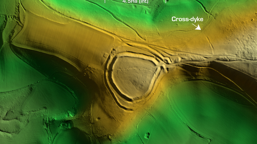
Weatherby Castle
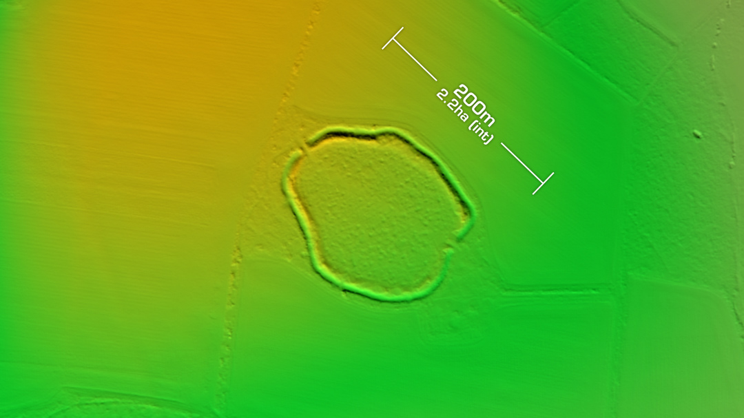
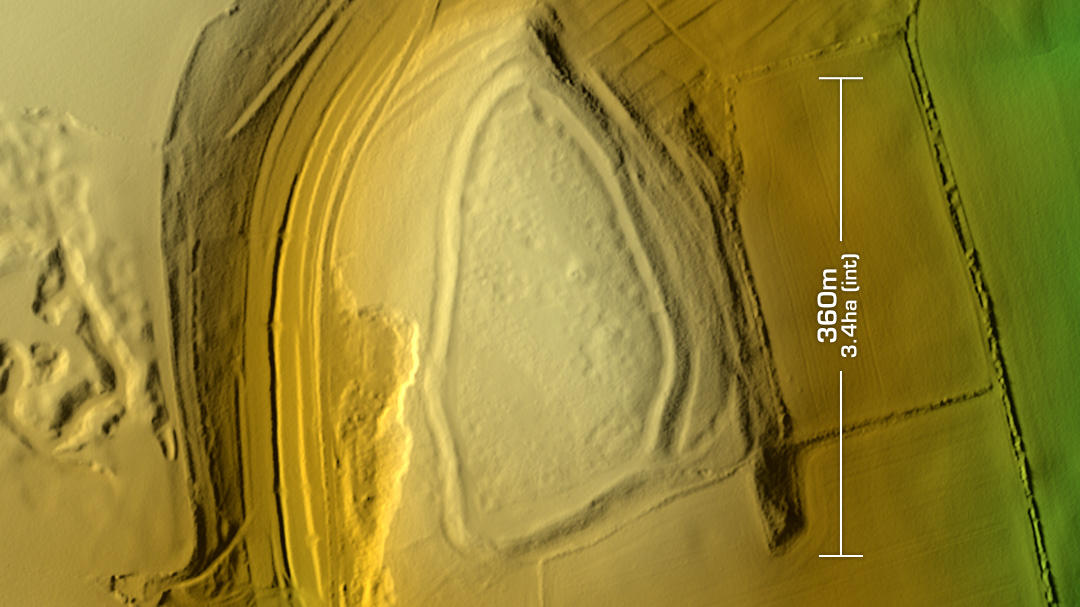
DTM- (Digital Terrain Model, i.e. No buildings or foliage) In between Milborne St Andrew and overlooking the A35 to the south lies the contour hillfort, Weatherby Castle. Interior degraded by cultivation over the centuries. The only interior feature to be recorded so far is a brick-built obelisk with stone, inscribed with ‘EMP 1761’, who was probably the owner at the time. (Edmund Morton Pleydell). Surface finds collected in 1872 were apparently Roman ware. The interior is now heavily wooded but as there have been no recent excavations the site remains undated. Now on Heritage at Risk Register. This is the last in the Dorset hillfort series as the following (currently) have no LiDAR information available: Abbotsbury Castle. Bulbury Camp. Chilcombe Hill. Dungeon Hill. Eggardon. North Poorton. Old Warren. The Castle, Cattistock. The Castle, Leigh. Woodbury Hill Camp. Woolsbarrow. (Scheduled Monument) Iron Age tribal association (conjecture based on location): Durotriges [Any descriptive text is attributed to the Atlas of Hillforts & Wikipedia websites and any associated archaeological descriptions online which will be credited accordingly.]

