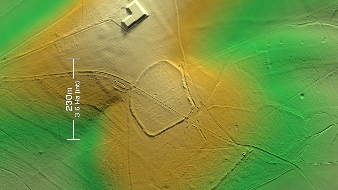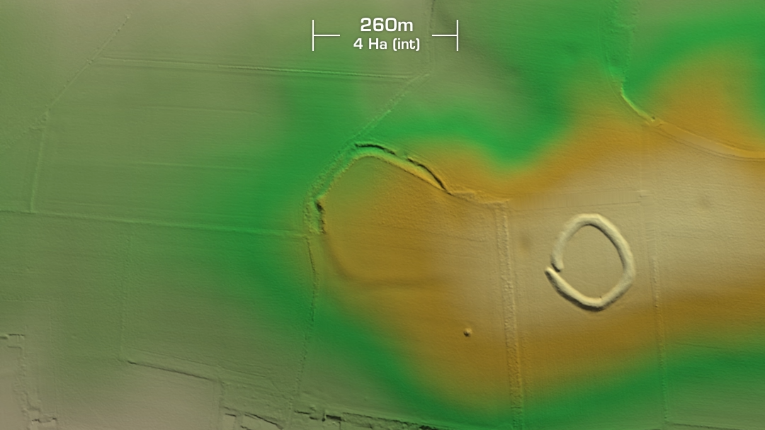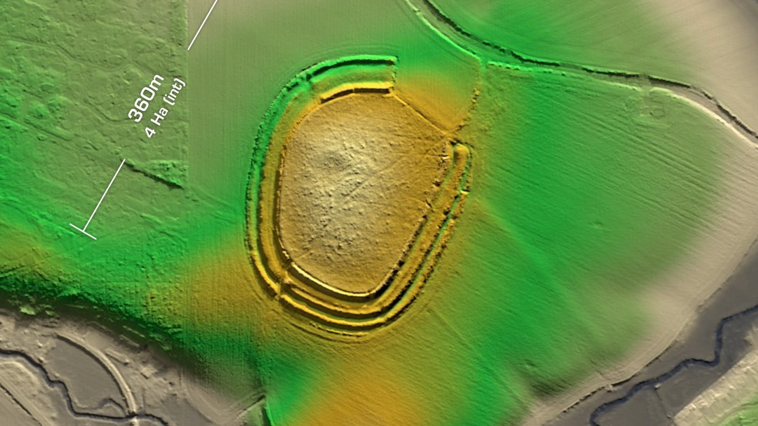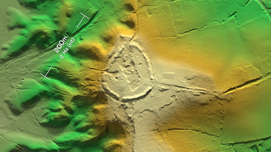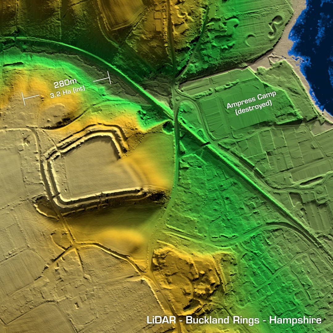
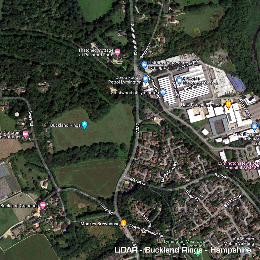
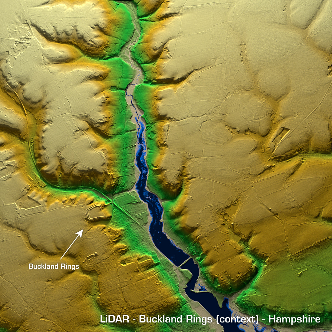
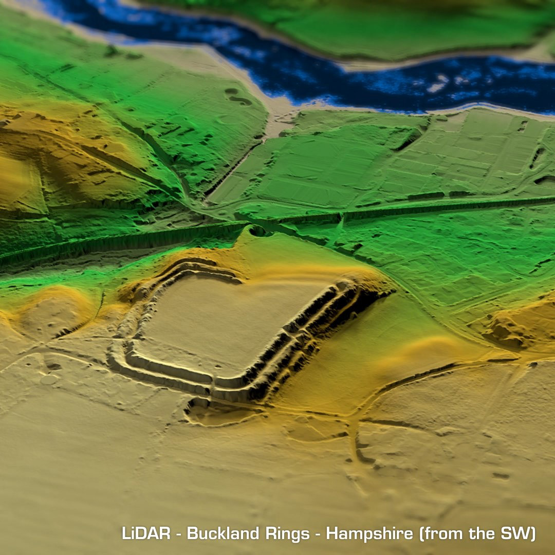

DTM- (Digital Terrain Model, i.e. No buildings or foliage) Just north of Buckland and to the west of Ampress Business Park lies the square multivallate partial contour hillfort, Buckland Rings. Surprisingly, the only excavation carried out was in 1937 and only found evidence of Neolithic occupation. A private house & cottage in the interior was purchased by the local council in 1989. A geophys survey was carried out in 1993 but that’s it. Considering the sites position and unusual layout, which was originally thought to be a Roman Camp, I thought this one would have been researched to death. Underneath the Ampress Business Park lies Ampress Camp which was a multivallate level terrain hillfort. Before the site was demolished to build the business park, minor excavations found Ion Age and medieval pottery & glass. I tried to match my oblique render to the antique illustration of the site, where you can plainly see what Ampress Camp looked like back in the day. Iron Age tribal association (conjecture based on location): Belgae or Durotriges (Scheduled monument, apart from Ampress Camp obviously)