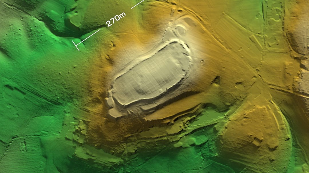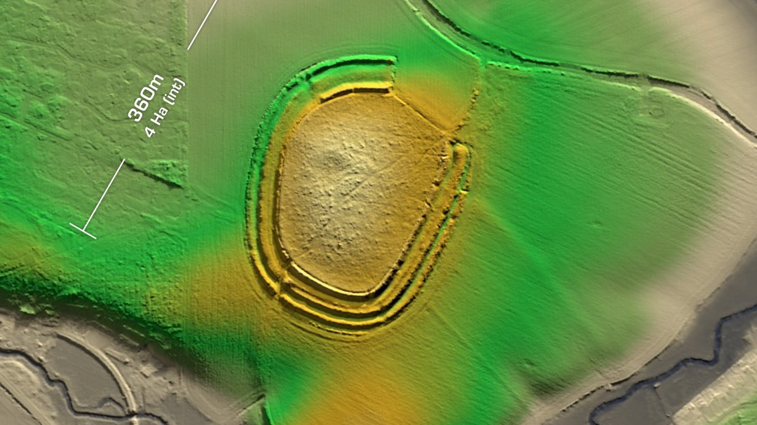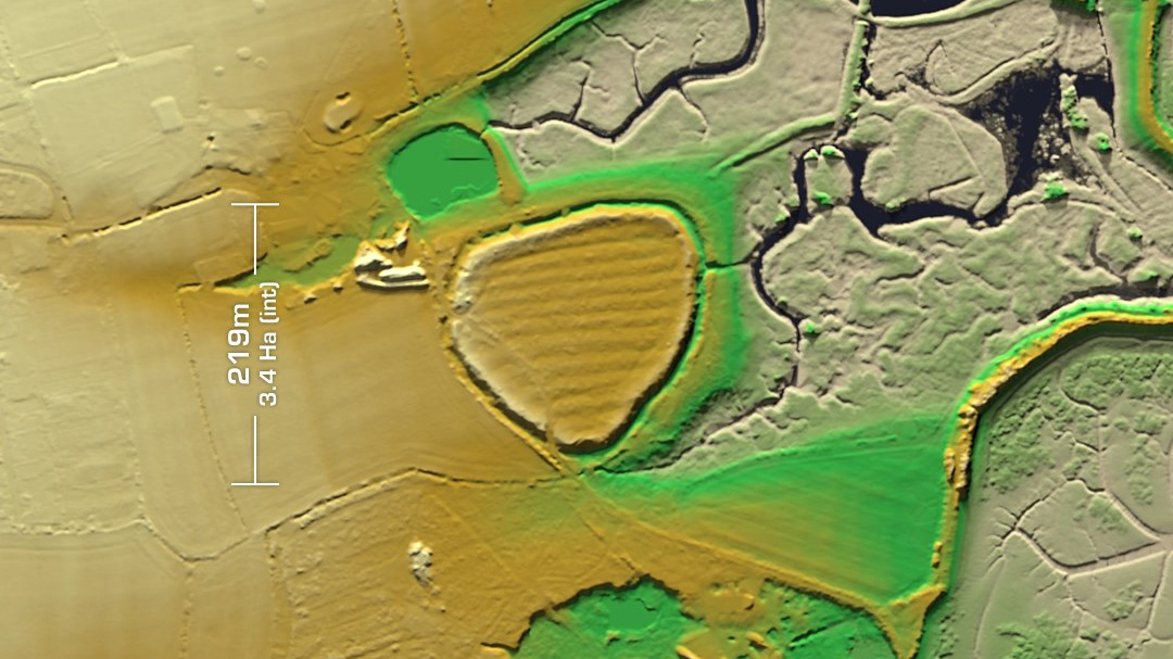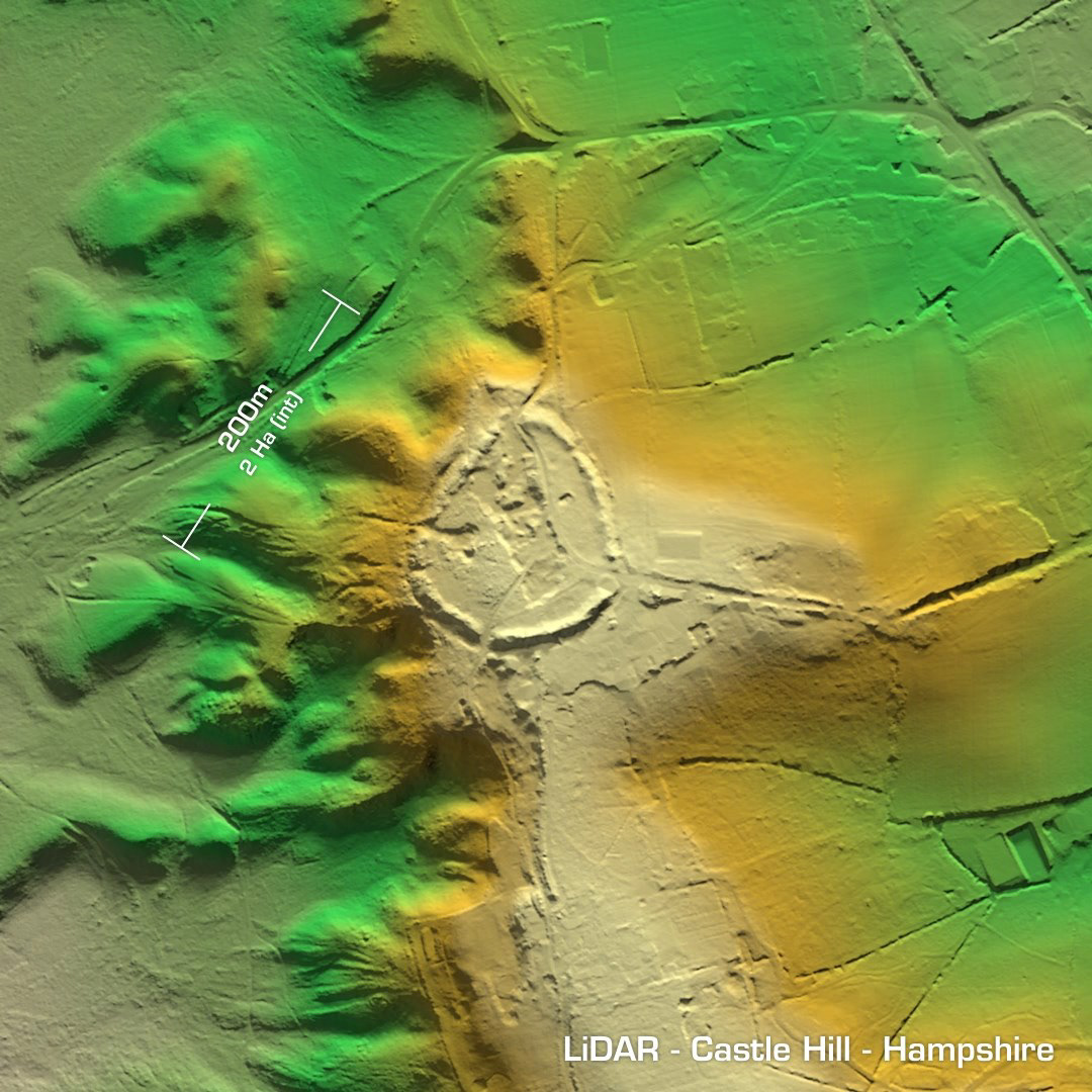
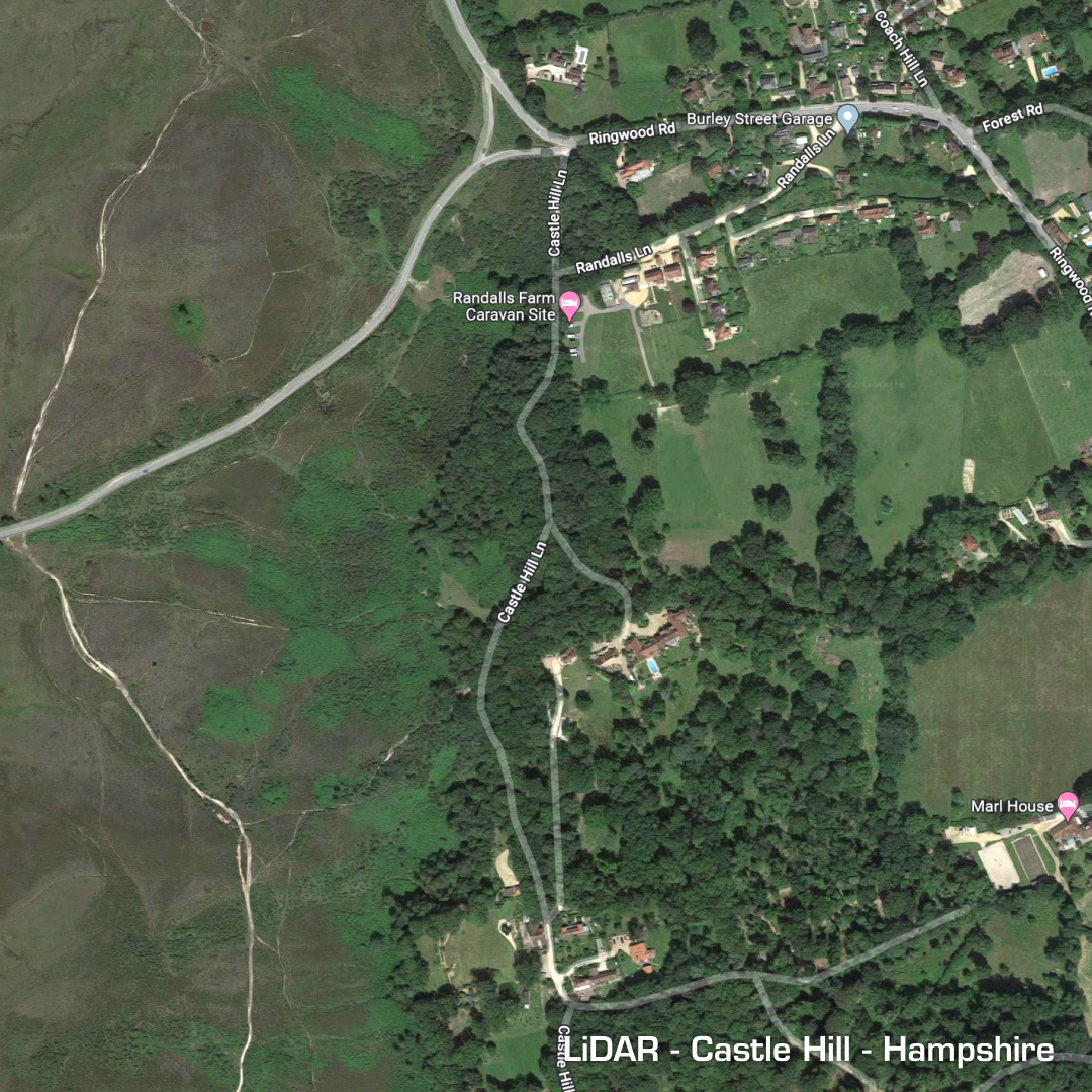
DTM- (Digital Terrain Model, i.e. No buildings or foliage) In between Burley and the A31 in Hampshire is the heavily degraded univallate level terrain hillfort, Castle Hill. The damage was caused by 19th century gravel digging. Now fully overgrown it can only really be seen via LiDAR. Last site investigation in 1982. 1st LiDAR in 1997. No excavations, hence undated. Iron Age tribal association (conjecture based on location): Belgae or Regni. (Scheduled monument)