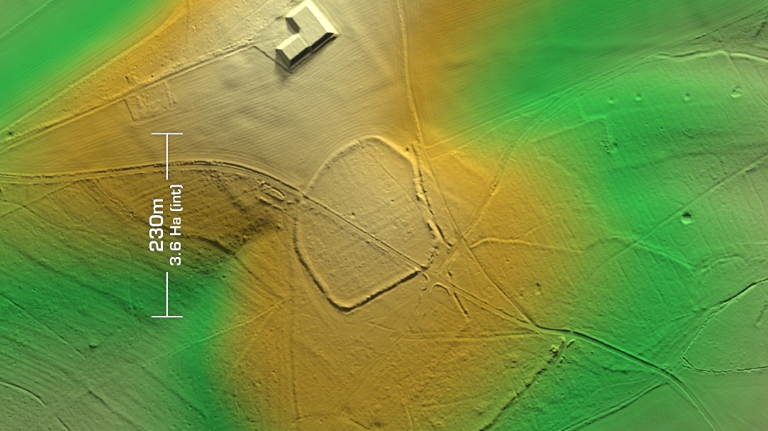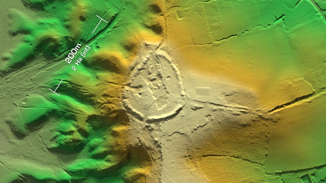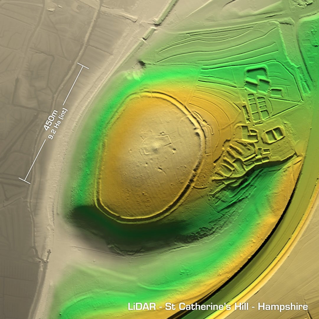
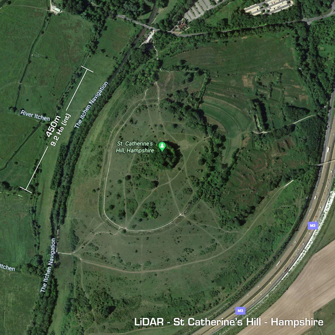
DTM- (Digital Terrain Model, i.e. No buildings or foliage) Just to the south of Winchester but within the M3 boundary lies St Catherine’s Hill, a large univallate contour hillfort. 1st excavation in 1928 & last in 1976 (magnetometry survey in 1997) verified the original hilltop was an unfortified settlement dating to 550BC. The ramparts were made 300 years later. Site abandoned around 50BC. Re-used by the Romans in the 1st – 3rd century AD. Site abandoned again, probably before the Roman recall until around 1200 AD when a Norman chapel (St Catherine’s) was built on the summit with its associated earthworks, ditches, etc. This chapels footprint was found in the excavations. Many Roman Roads radiate from Winchester or Venta Belgarum as it was known then as in; Venta, the Celtic for town/meeting place and the tribal name: Belgae. Iron Age tribal association (conjecture based on location): Belgae (Scheduled monument)