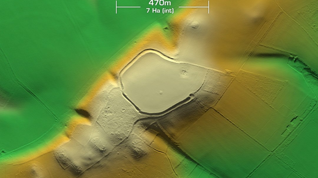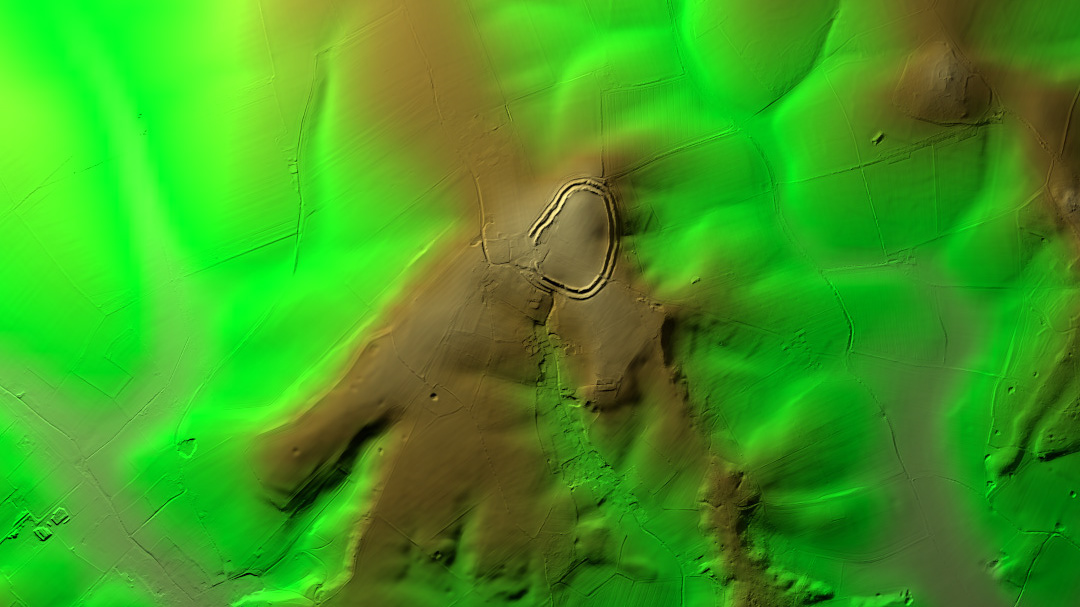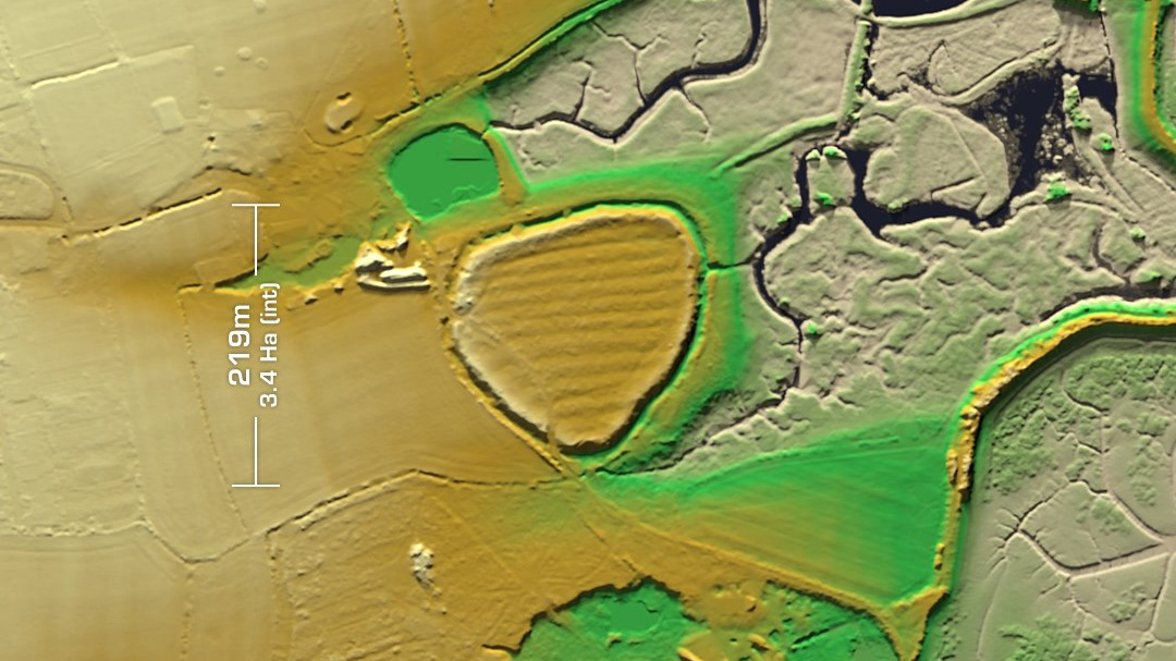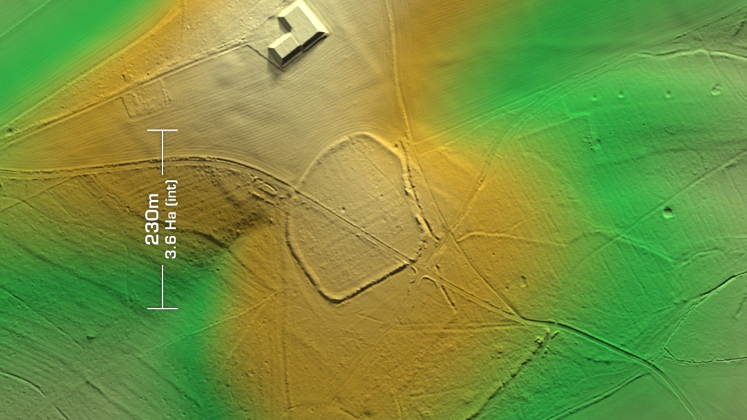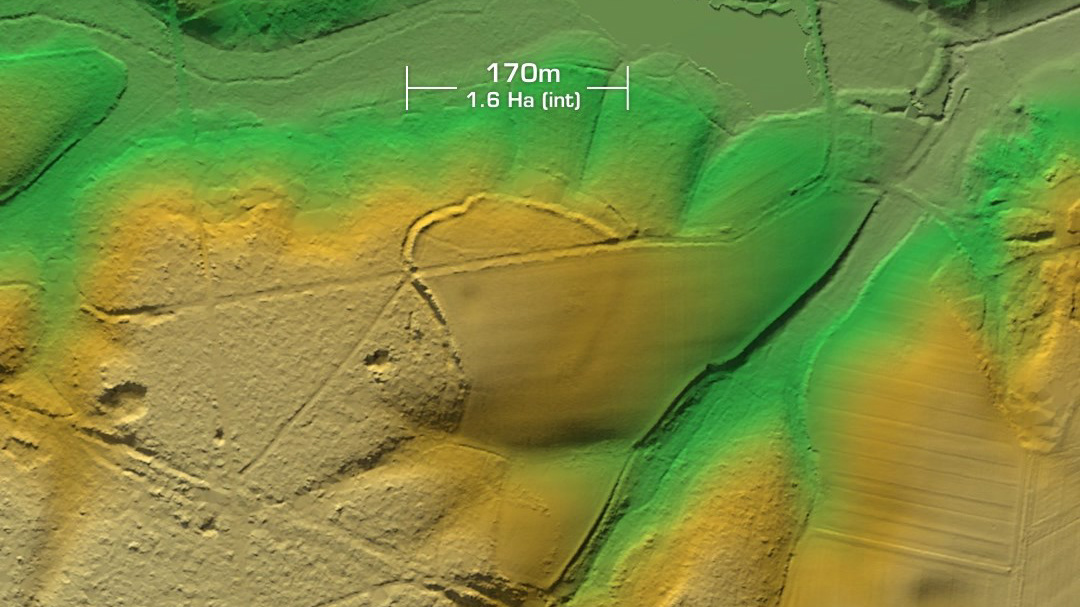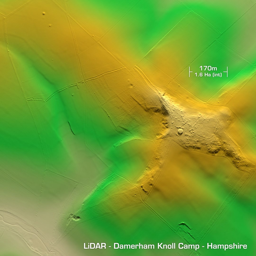
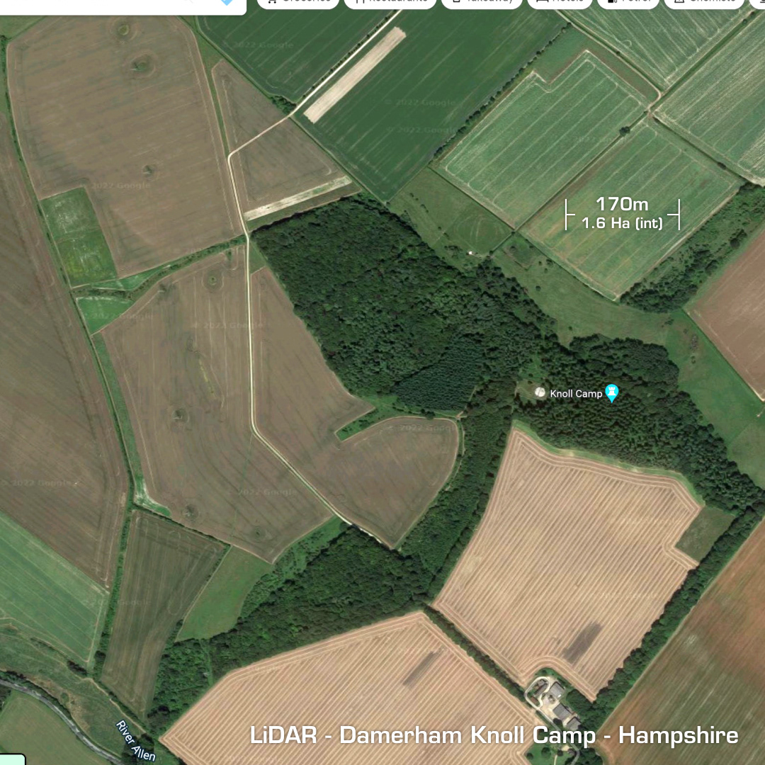
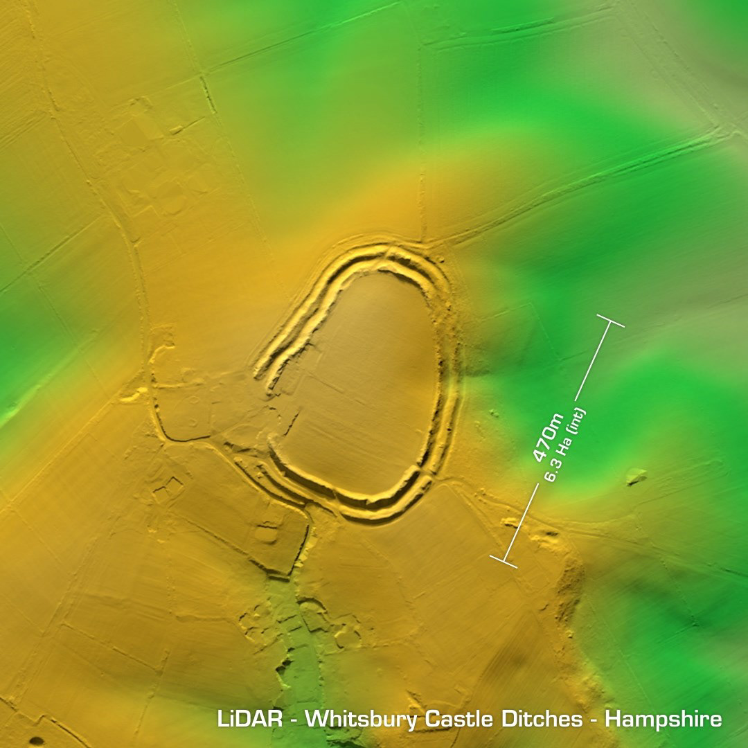
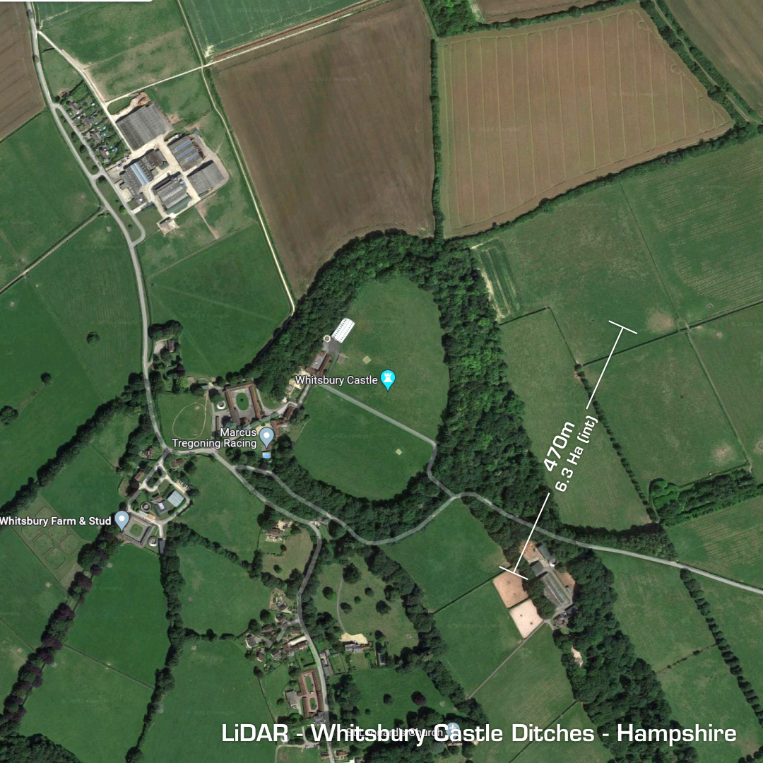
TM- (Digital Terrain Model, i.e. No buildings or foliage) Situated in woodland to the east of Rockbourne lies the heavily degraded univallate contour hillfort, Damerham or Rockbourne Knoll Camp. I rendered the scene offset to show the linear earthwork running diagonally northwest before diving southwest from the summit. The degradation is caused by sand digging across the whole site. I’ve no idea what the small raised circular feature is. A water reservoir perhaps? Unexcavated, hence undated. 2.5km to the northeast above Whitsbury lies the Whitsbury Castle Ditches. A multivallate contour hillfort sitting atop a high chalk outcrop but partially destroyed on the SE corner by a manor house. A 1960 excavation dated the sites rampart construction to circa 600BC. Mesolithic finds were also documented. Roman pottery was found proving post-occupation use. Unusually, the defences were refurbished in the 6th or 7th century AD. Defence against the Saxons? Site used in the 18th century as a boundary marker. Iron Age tribal association (conjecture based on location): Belgae (Scheduled monument)