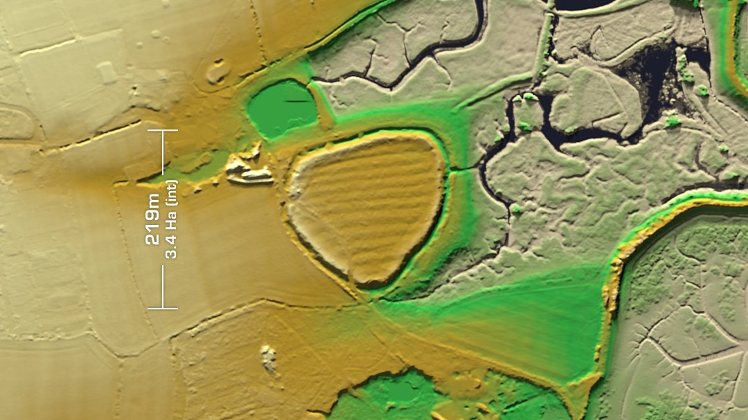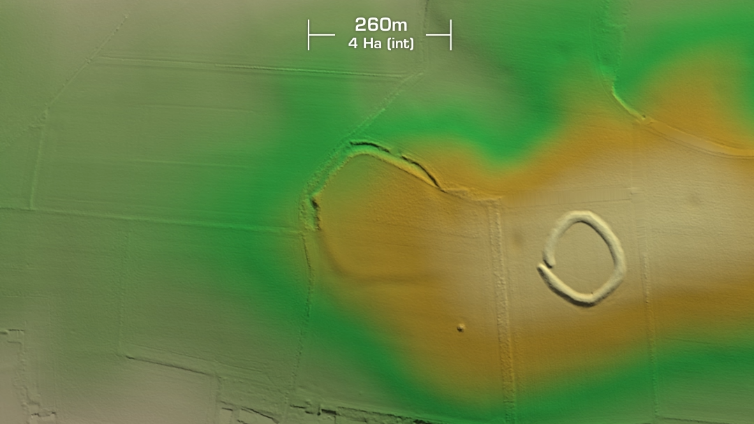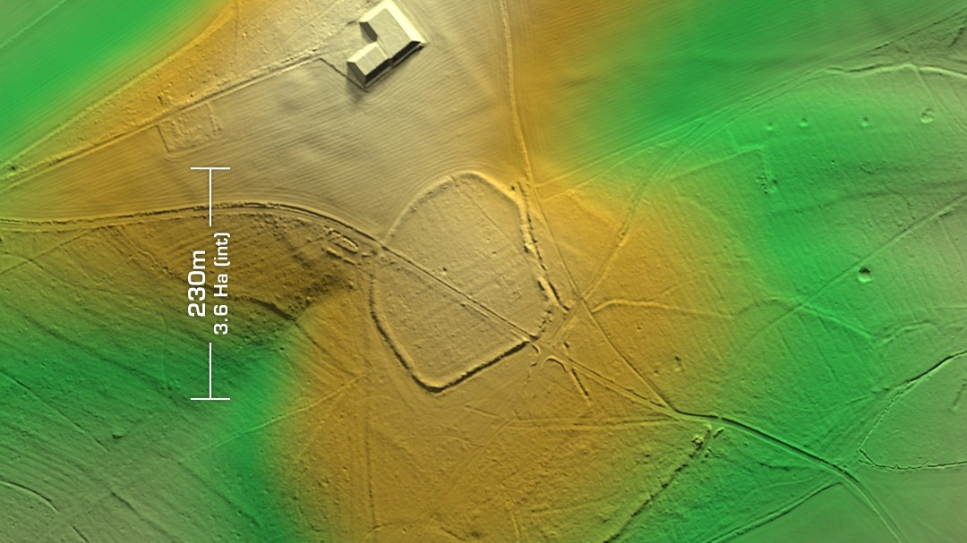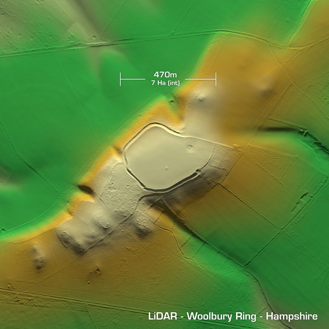
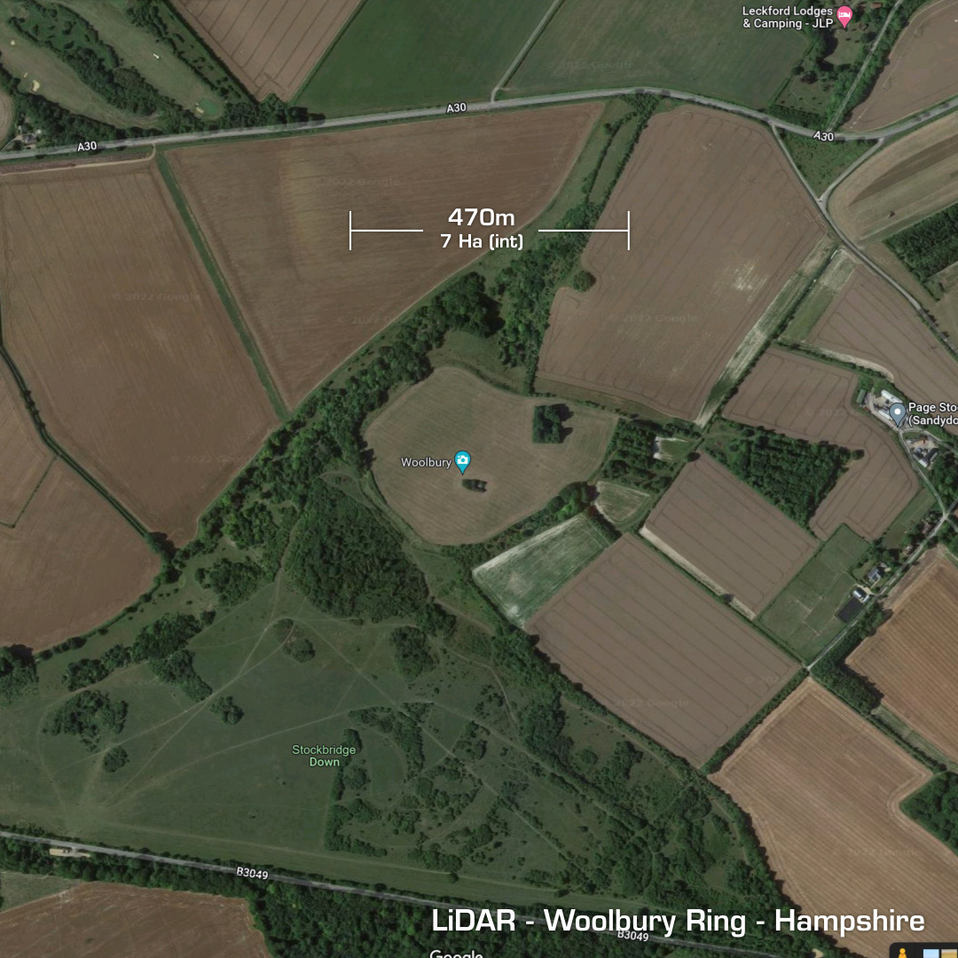
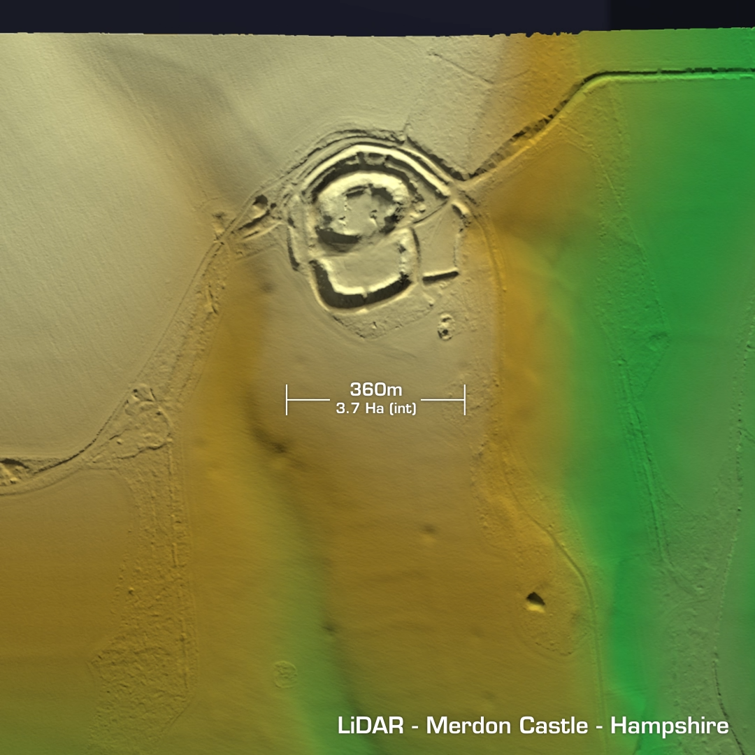
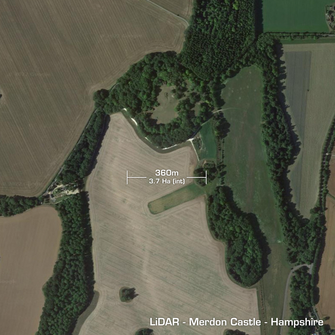
DTM- (Digital Terrain Model, i.e. No buildings or foliage) Lying in fields 1Km to the east of Stockbridge, Hampshire is the univallate contour hillfort Woolbury Ring. Ditch excavated in 2000 which yielded a construction phase starting circa 550 BC. A Roman settlement occupied the site after their invasion. First documented in 947 AD as Benitham Welnabyrig (Camp of the Springs). The interior has been heavily ploughed and is under private ownership. Now beginning to degrade due to shrubs, trees & soil erosion. Just to the west of Standon, Hampshire is the degraded univallate hillfort, Merdon Castle. Site now occluded by trees. Possible post-Roman Saxon defended residence. This hillfort was modified into a motte & bailey castle which was constructed by Henry de Blois the Bishop of Winchester in 1129. Destroyed in 1156. Military camp during WW1 & WW2. Considering it’s history there have been few investigations. Data was missing from the LiDAR tile so that’s why it’s framed as it is. Iron Age tribal association (conjecture based on location): Belgae (Scheduled monument)