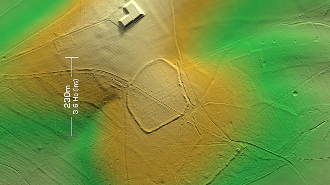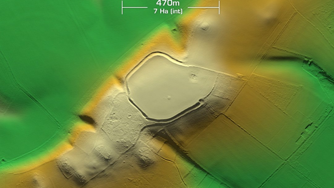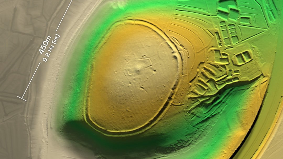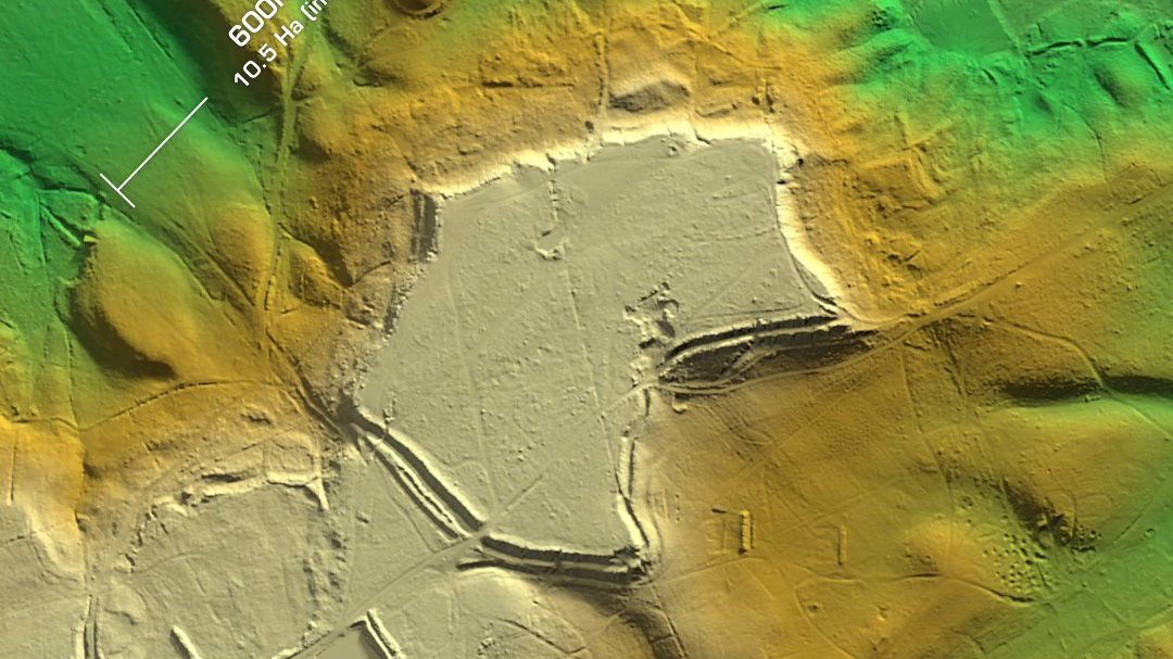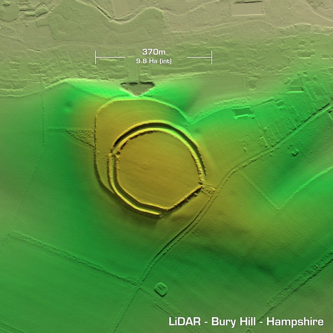
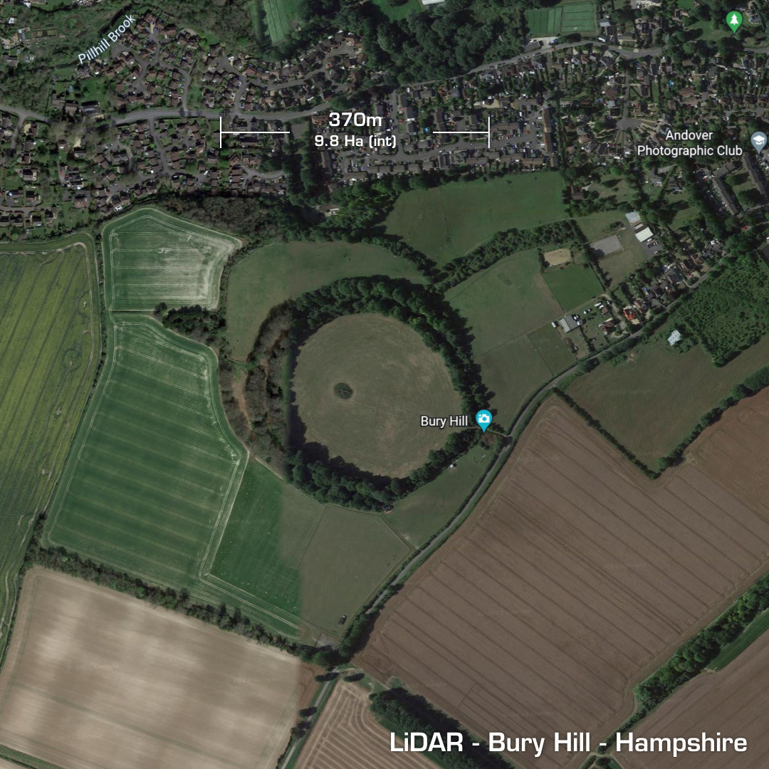

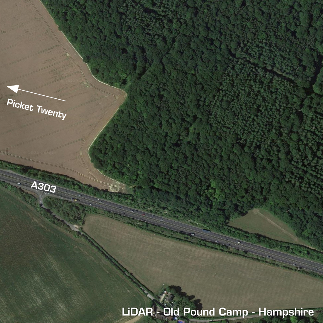
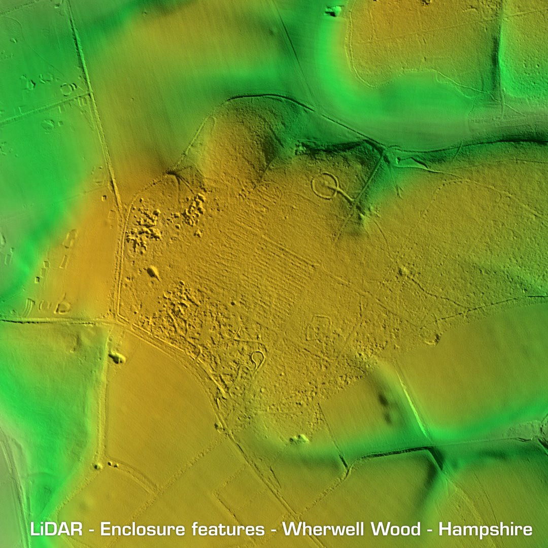
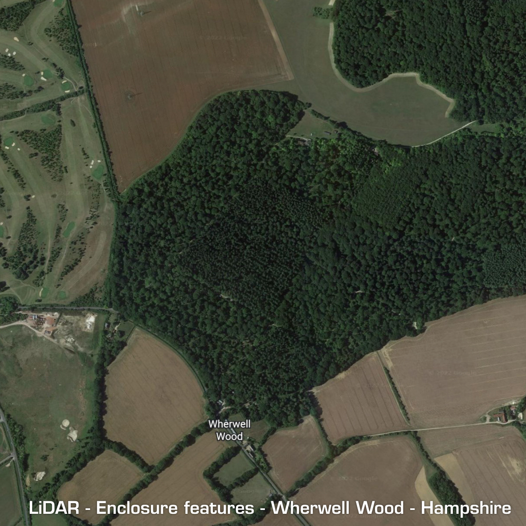
DTM- (Digital Terrain Model, i.e. No buildings or foliage) In an arc below Andover, Hampshire lie three hillforts: Balksbury Camp Bury Hill Old Pound Camp Balksbury Camp has been completely destroyed by a housing estate and the A303 ring road. There’s hardly anything on the LiDAR to show you, so I didn’t bother. Although it was extensively excavated with many finds dating from the Bronze age to late Roman before it was released for destruction. Bury Hill lies just to the southwest of Andover and Anna Valley and is plainly visible on Google Maps as a circular ring of trees covering a large contour hillfort. It has had a full geophys survey & partial excavation dating the site to middle/late Iron Age. Old Pound Camp is hidden within woodland to the north of the A303 as it leaves Andover to the east. A univallate part contour hillfort which hasn’t been excavated and therefore undated. Last investigation was in 1982. Whilst checking out the rest of the LiDAR tile I noticed some enclosure features in Wherwell Wood which lies just to the southeast of Andover. It’s fully wooded on Google Maps but there are at least two enclosure features as well as evidence of quarrying. These enclosures may be contemporary. Iron Age tribal association (conjecture based on location): Belgae (Scheduled monument)