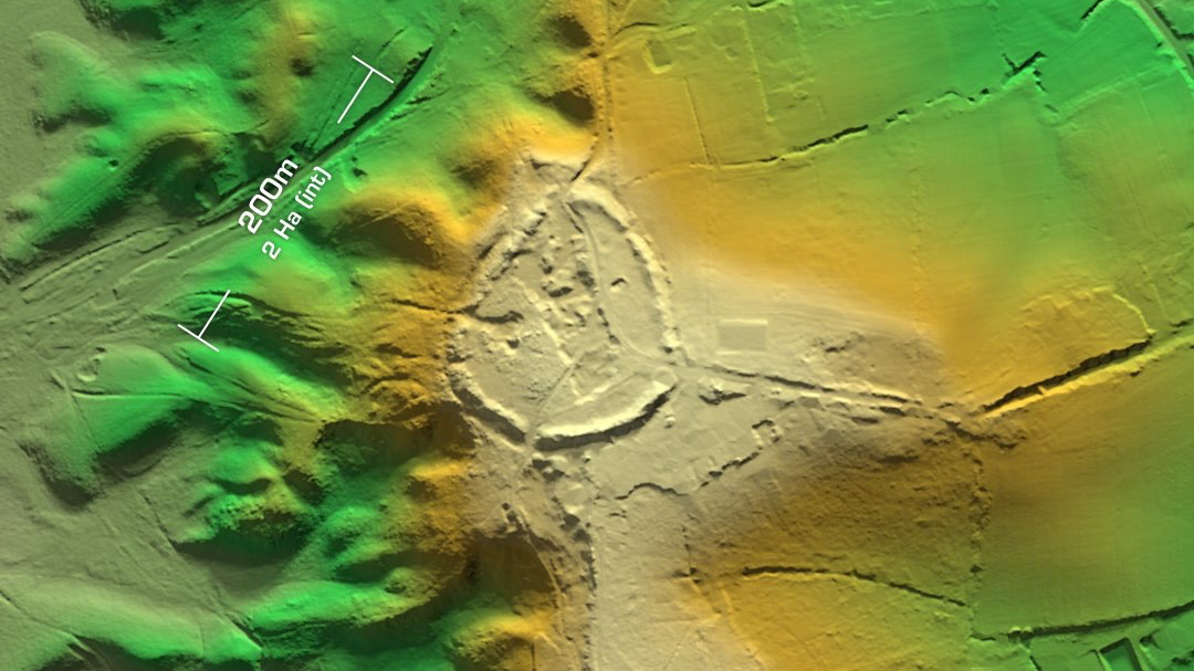
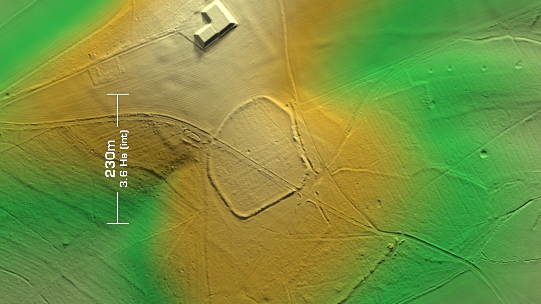
DTM- (Digital Terrain Model, i.e. No buildings or foliage) Just north of Tangley but below Conholt the univallate contour hillfort, Bevingsbury is bisected by the Roman Road, Port Way (Margary 4b, now Hungerford Lane). The Romans must have REALLY hated this tribe to put their road straight through it. Mind you it is in direct line from Winchester to Marlborough… Surrounding the site, you can still make out the linear rows of circular ‘dents’ of (possible) Bronze/Iron Age Dew Ponds, which I’ve seen near many of the Iron Age sites I’ve studied on LiDAR. The site has also been heavily damaged by chalk quarrying. Last investigated in 1977 but not excavated, so its undated. Named in the 18th century. Two private residences now lie within the site. Iron Age tribal association (conjecture based on location): Belgae or Atrebates (non-scheduled monument)